After walking the beautiful start of the River Ayr Way walk from Glenbuck Loch to Muirkirk, I was excited to walk Muirkirk to Sorn the next weekend, which is also Part 1 of this walk for me.
The River Ayr Way is Scotland’s first source to sea walk and is listed as one of Scotland’s Great Trails. Stretching from Glenbuck Loch to the sea at Ayr, it covers around 41 miles (66 kilometres), mostly following the flow of the River Ayr across East Ayrshire and South Ayrshire.
I split the River Ayr Way walk into three sections, following directions on Walkhighlands: River Ayr Way:
- Glenbuck to Sorn – I walked this over two different days in October 2023
- Sorn to Stair – I walked this one day in April 2023
- Stair to Ayr – I walked this one day in May 2023
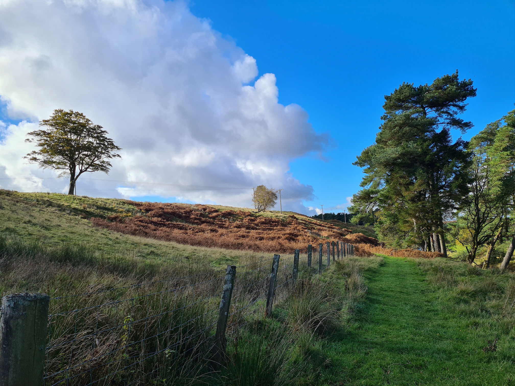
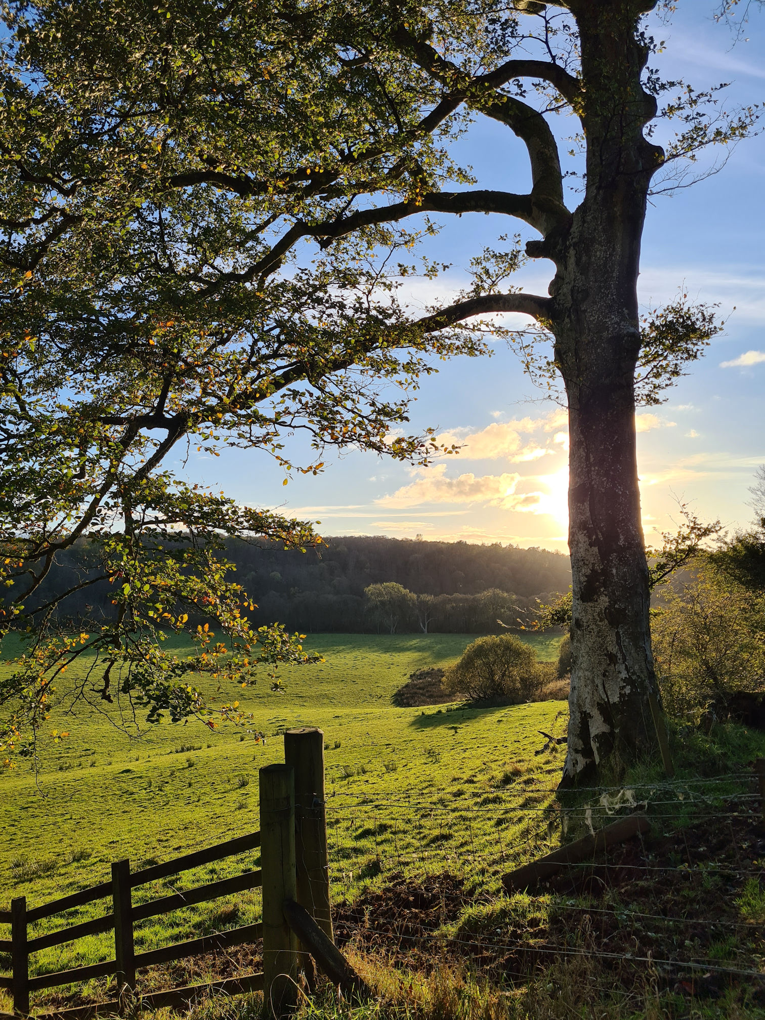
Sunday 22 October 2023 was the last weekend before the clocks moved back in time one hour. I knew I had to complete this section today as the days would be shorter and darker very soon. The Met Office weather was looking good for this weekend so it was an early start.
As we were driving towards Muirkirk in East Ayrshire, patches of low-lying fog were floating across the fields looking atmospheric in the soft light of sunrise. As always, I was wishing I could capture this moment with a photo or video, but there was no opportunity to stop the car. Saving the scene in my mind it was as I gazed out of the car window. I had a good feeling about today.
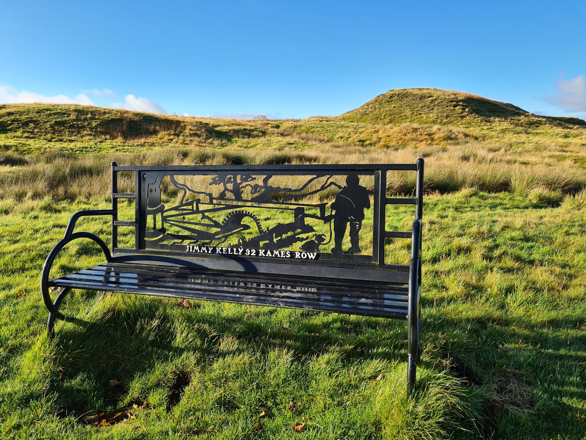
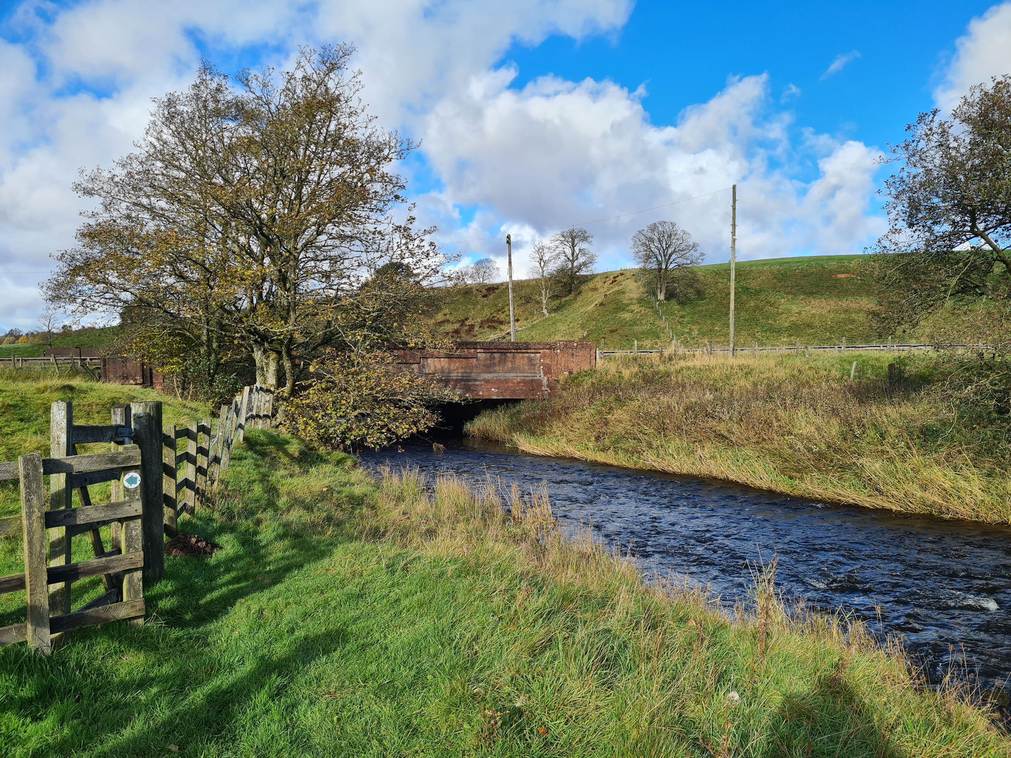
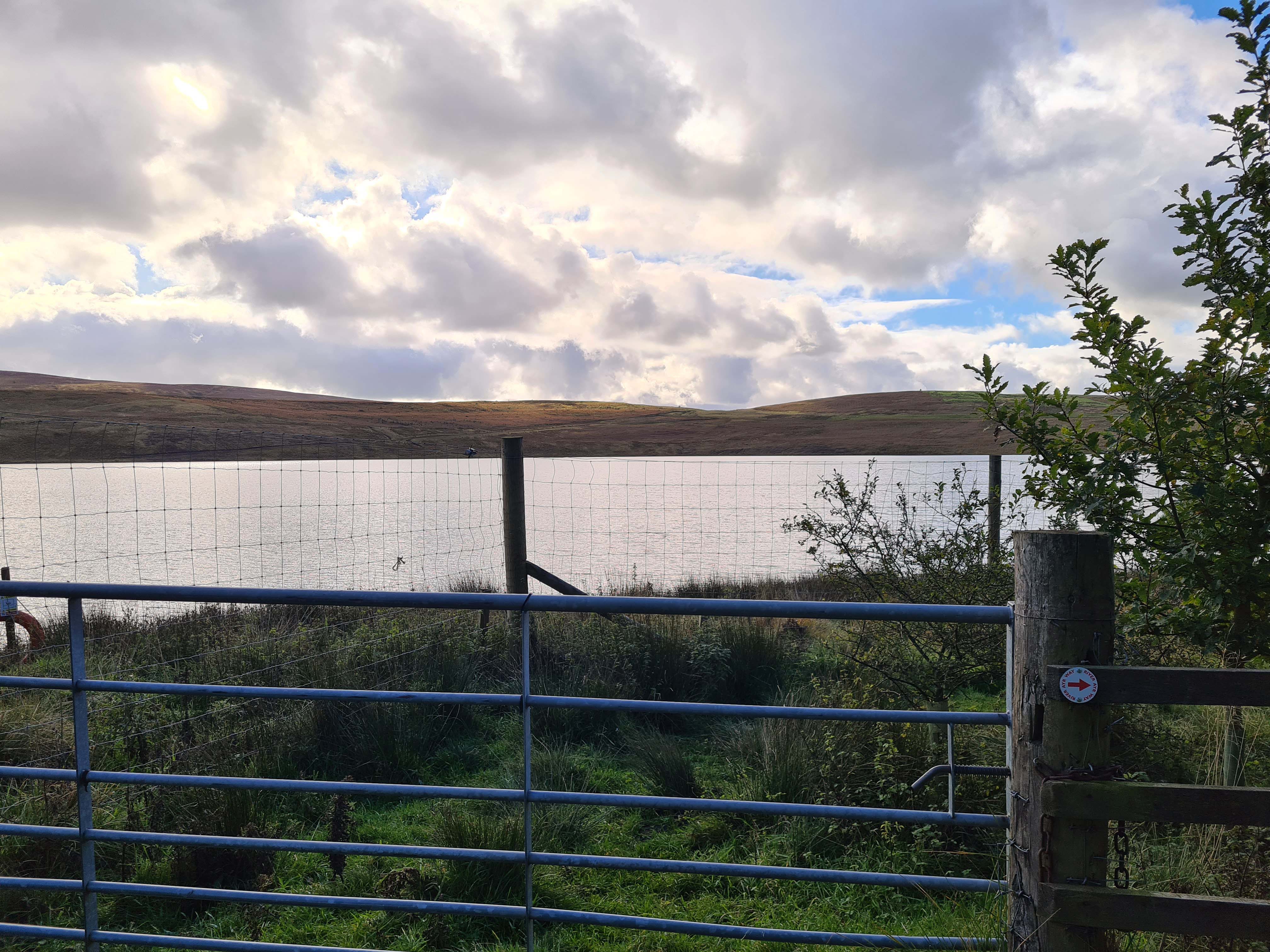
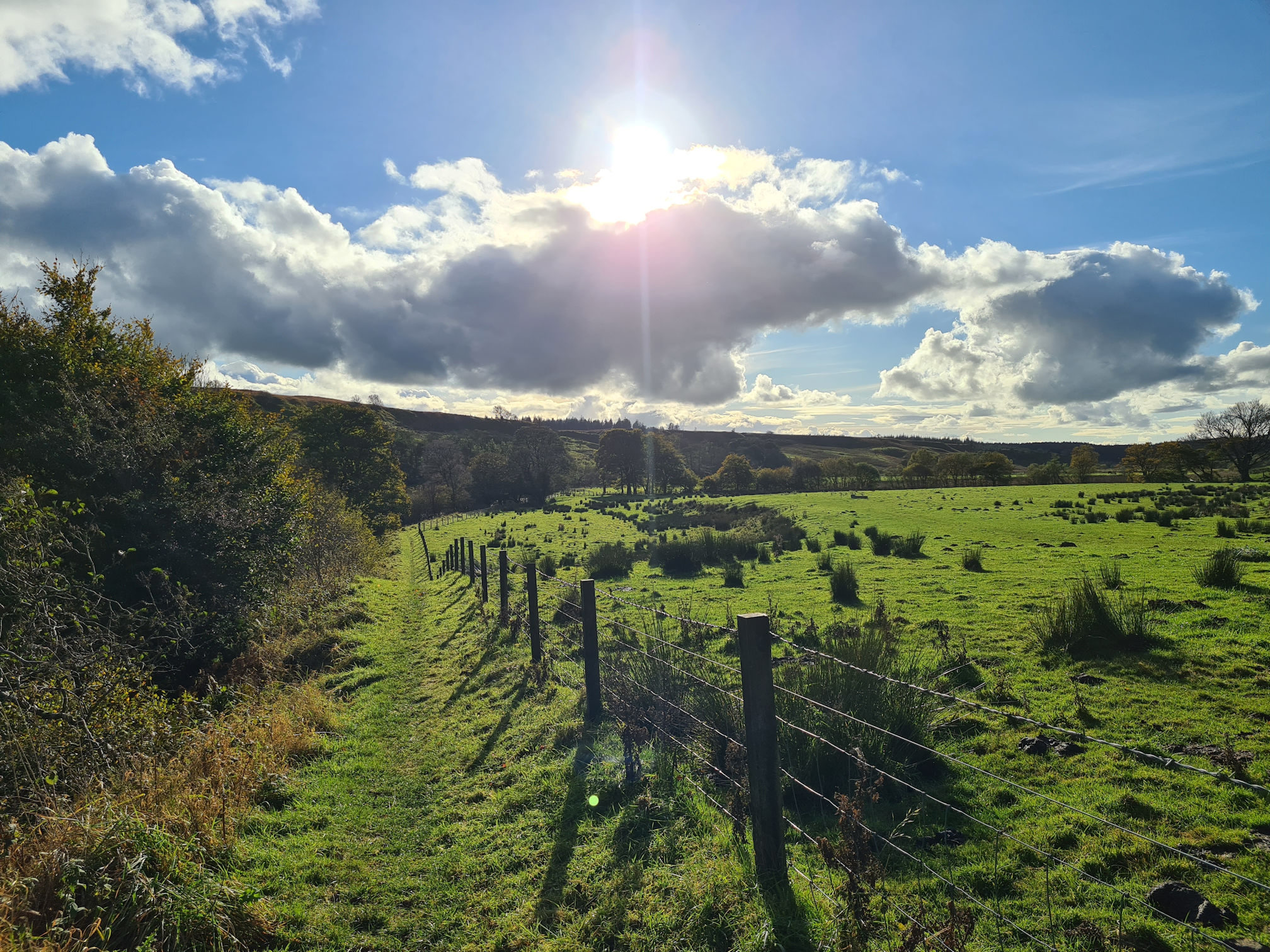
We arrived at the Kames Walkers’ Car Park where I’d finished my walk the week before. I estimated that I should have around 12 miles (19 kilometres) at most to walk today, which was double the distance I walked the week before. Alan would wait for me around halfway at Greenockmains Bridge, an old road bridge beside the B743 Muirkirk to Sorn road that we passed on the way. There was parking space there, and if I was struggling to walk further I could call it a day.
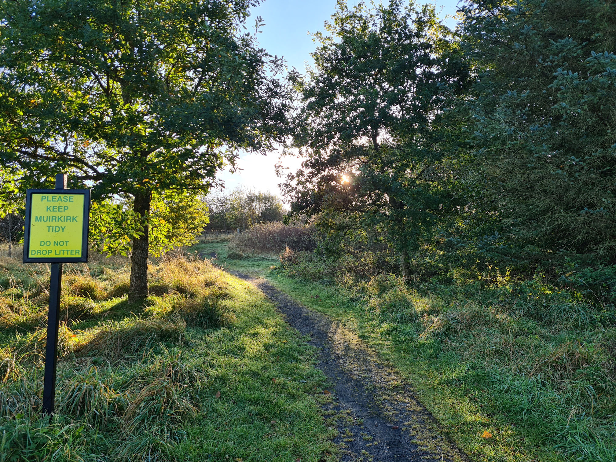
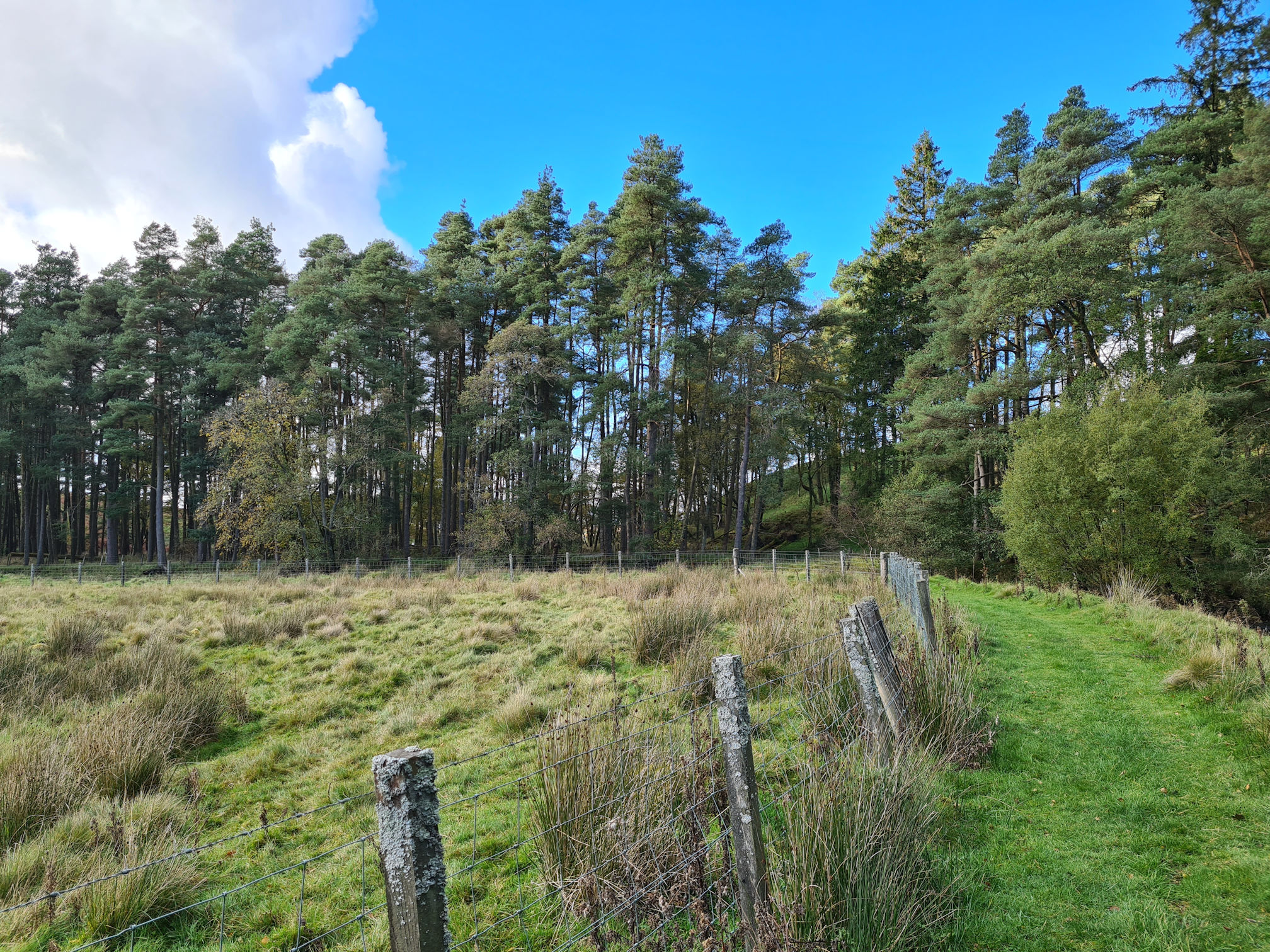
I walked past the information sign showing the different walks and routes here, then quickly turned right. The path that goes straight ahead is the route to hike the hill called Cairn Table.
The morning light on the path and trees gave me a warm, exciting feeling. Alan recorded footage of the low mist floating between the long grass which you can see in my video at the end. It’s unusual to see this and really quite mesmerising to watch.
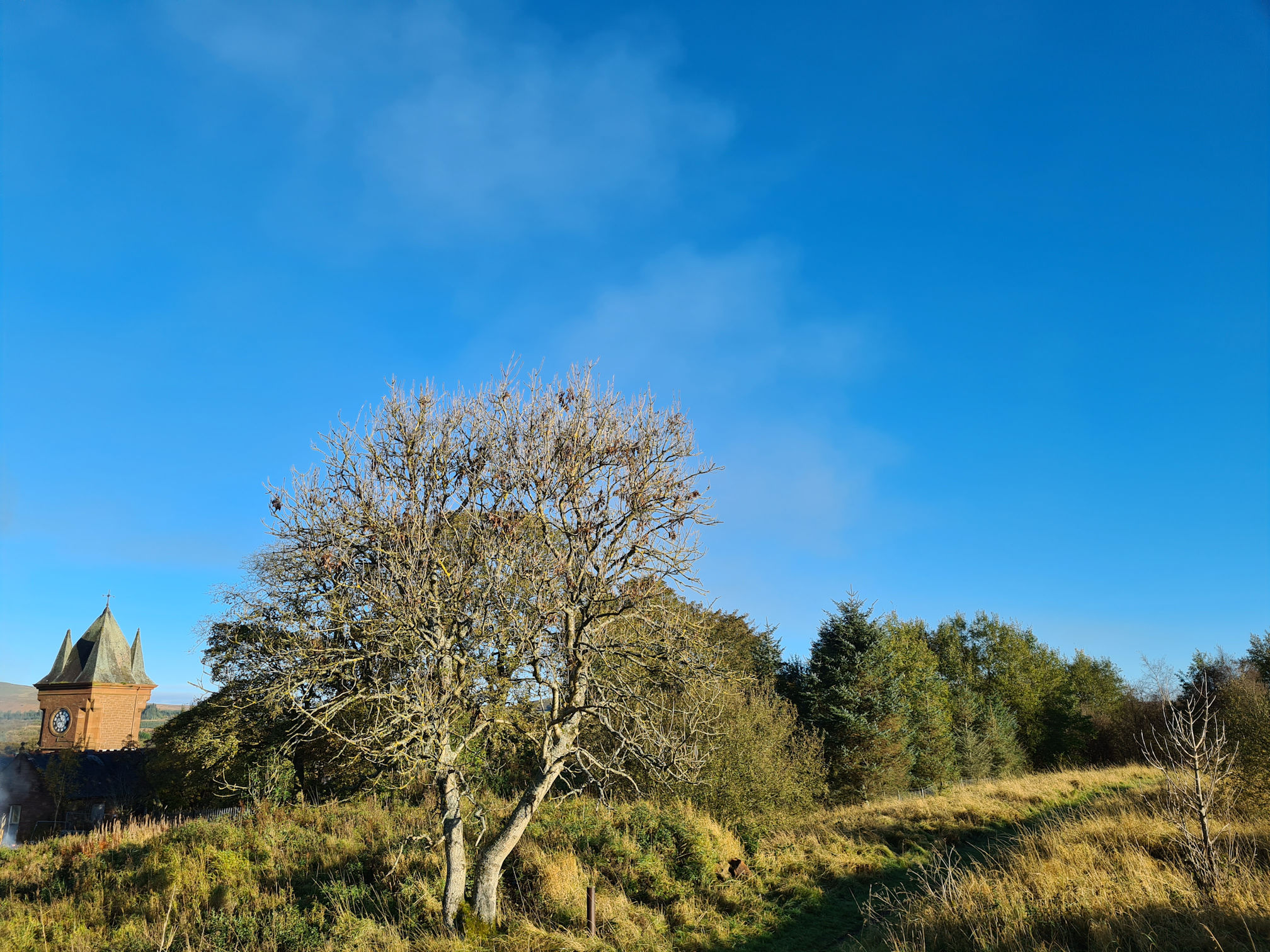
The tower of the Muirkirk Institute building caught my eye where I have vivid memories of staying there on my Primary 7 school residential trip. I’ll not tell you how many years ago that was … 🤣
I was 11 years old and I remember thinking I would never be allowed on a school trip away from home for four nights. It cost too much money, and we didn’t have much growing up. As soon as I heard the teacher say the trip was £20 I remember a feeling of sadness. For those who couldn’t go, they would still attend school as normal while everyone else was having fun.
Imagine my surprise when my mum said yes I could go! I think she had help paying for it. I was so excited as I’d never been on a holiday before. I remember we tried canoeing, orienteering and hiking the hill Cairn Table. I loved the feeling inside me when I reached the top of the hill, it has stuck with me ever since. I will definitely hike it again this year and let you know how I got on.
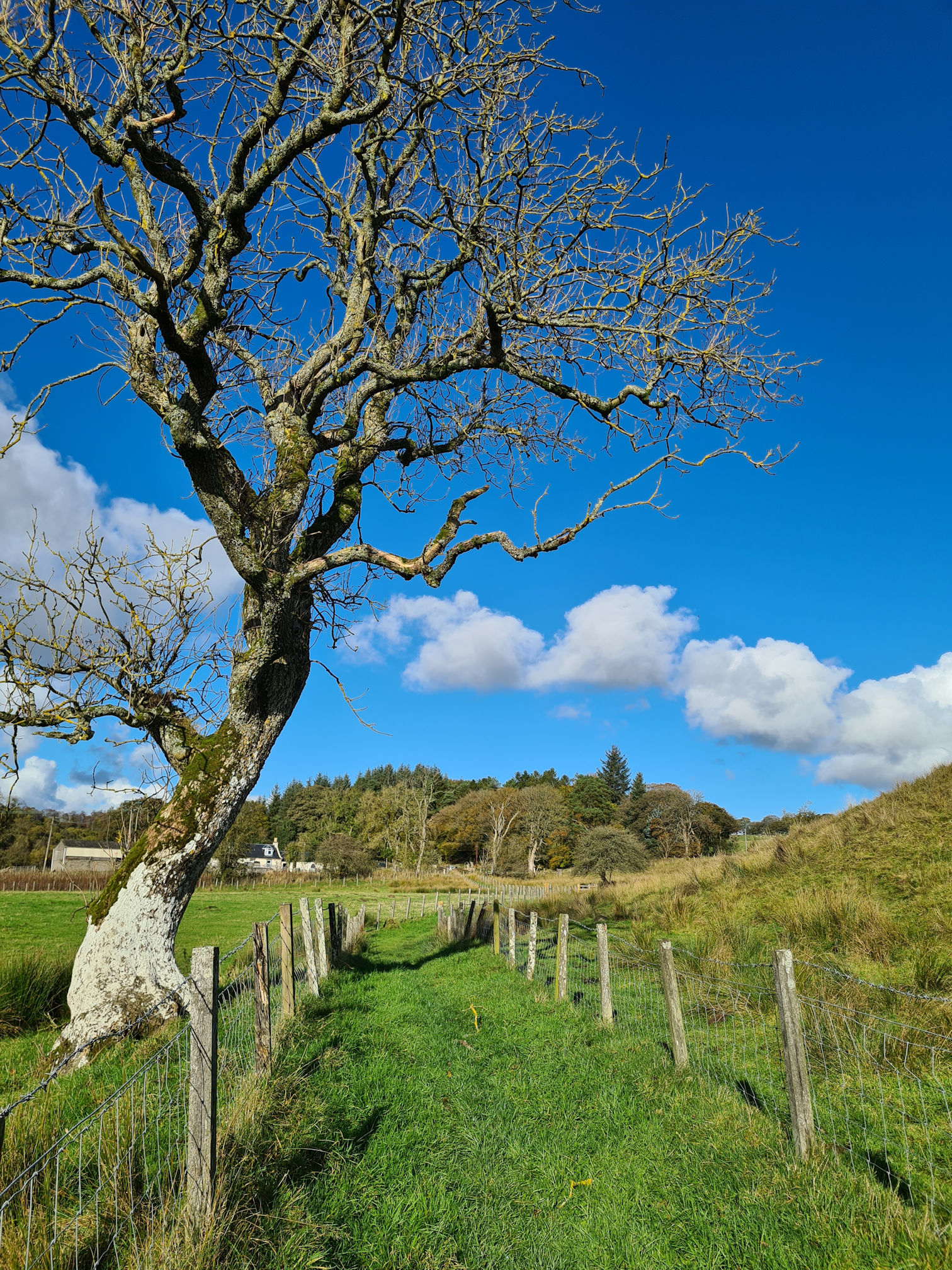
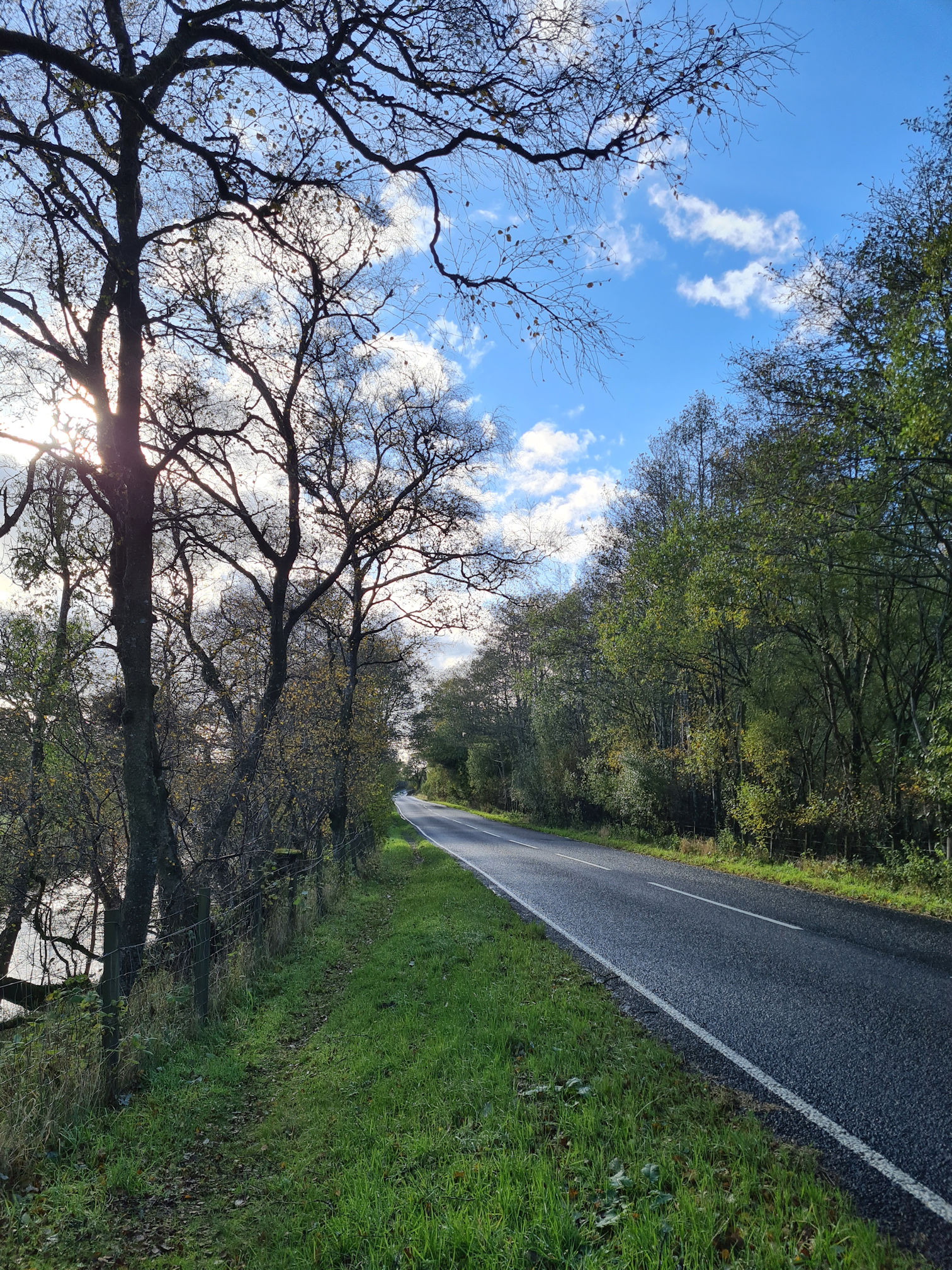
I quickly arrived back on a road, took a deep breath and felt happy on this beautiful autumn morning. I wasn’t sure when I would meet the River Ayr again.
Site and ruins of Springhill House
I reached an information sign that marks the site and remains of Springhill House. This was one of several houses built when Muirkirk’s industrial prosperity was thriving.
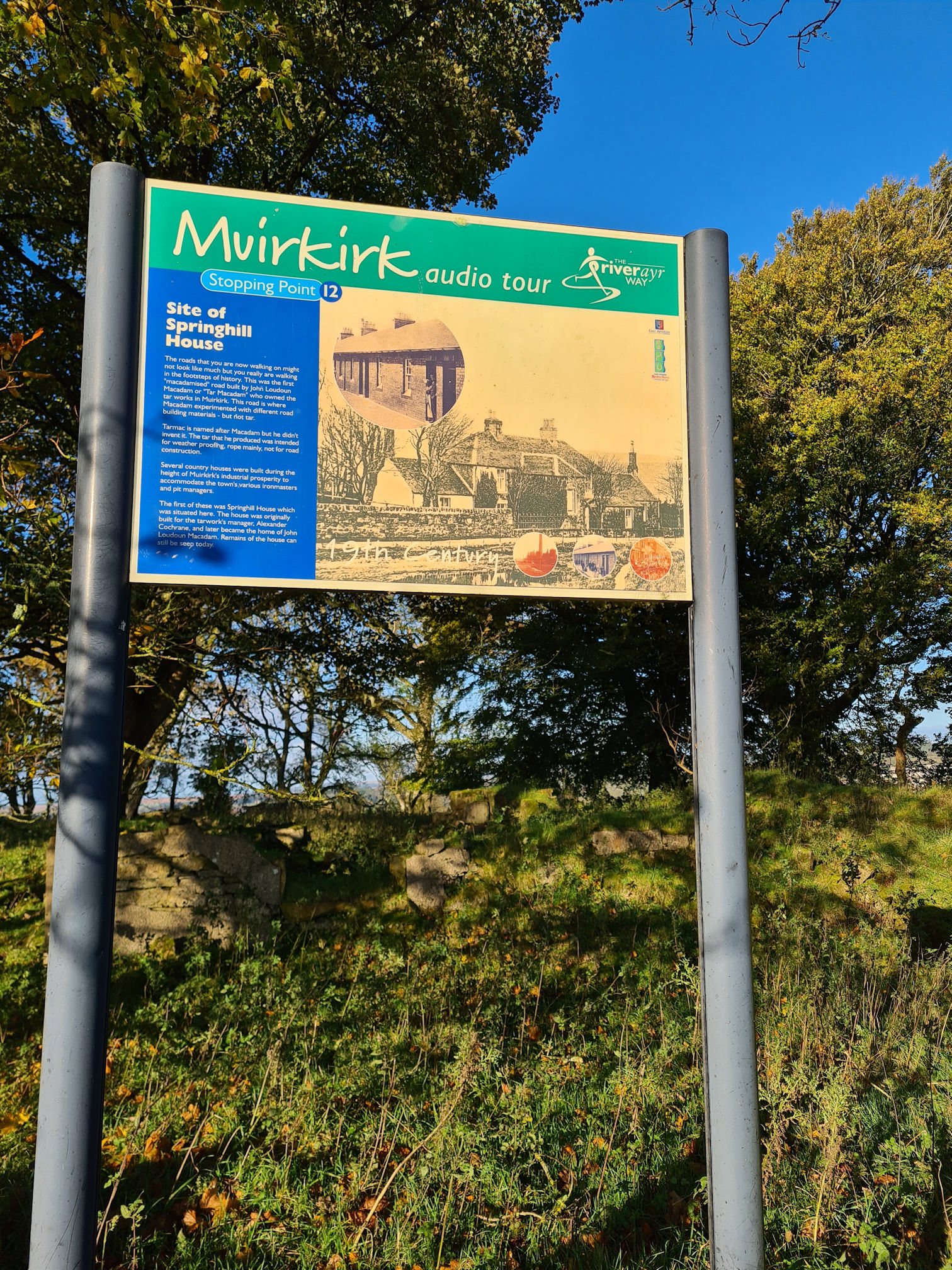
Iron masters and pit managers would live in these houses, with Springhill House being built for the tarworks manager Alexander Cochrane, a well-known surname across Ayrshire and beyond, past and present. Later the house became one of the homes of John Loudon McAdam, a Scottish engineer and roadmaker. John’s mother was Susanna Cochrane, niece to the 7th Earl of Dundonald, so yet another Cochrane connection.
Muirkirk audio tour
The sign also refers to this being stopping point 12 of the Muirkirk self-guided audio tour, an audio commentary while you walk around historical sites in and around the village. It was Scotland’s first village audio tour and was launched years ago in 2005 by Tony Robinson from the TV programme the Time Team. I’m not sure how to access the audio commentary as the webpage link I found isn’t working.
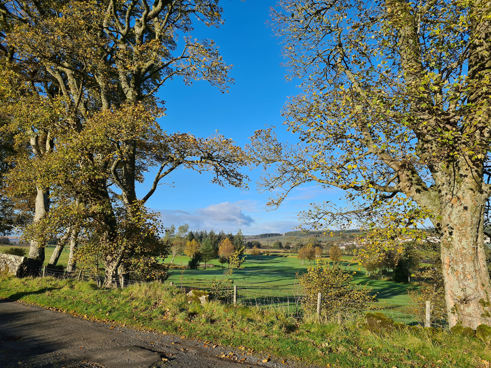
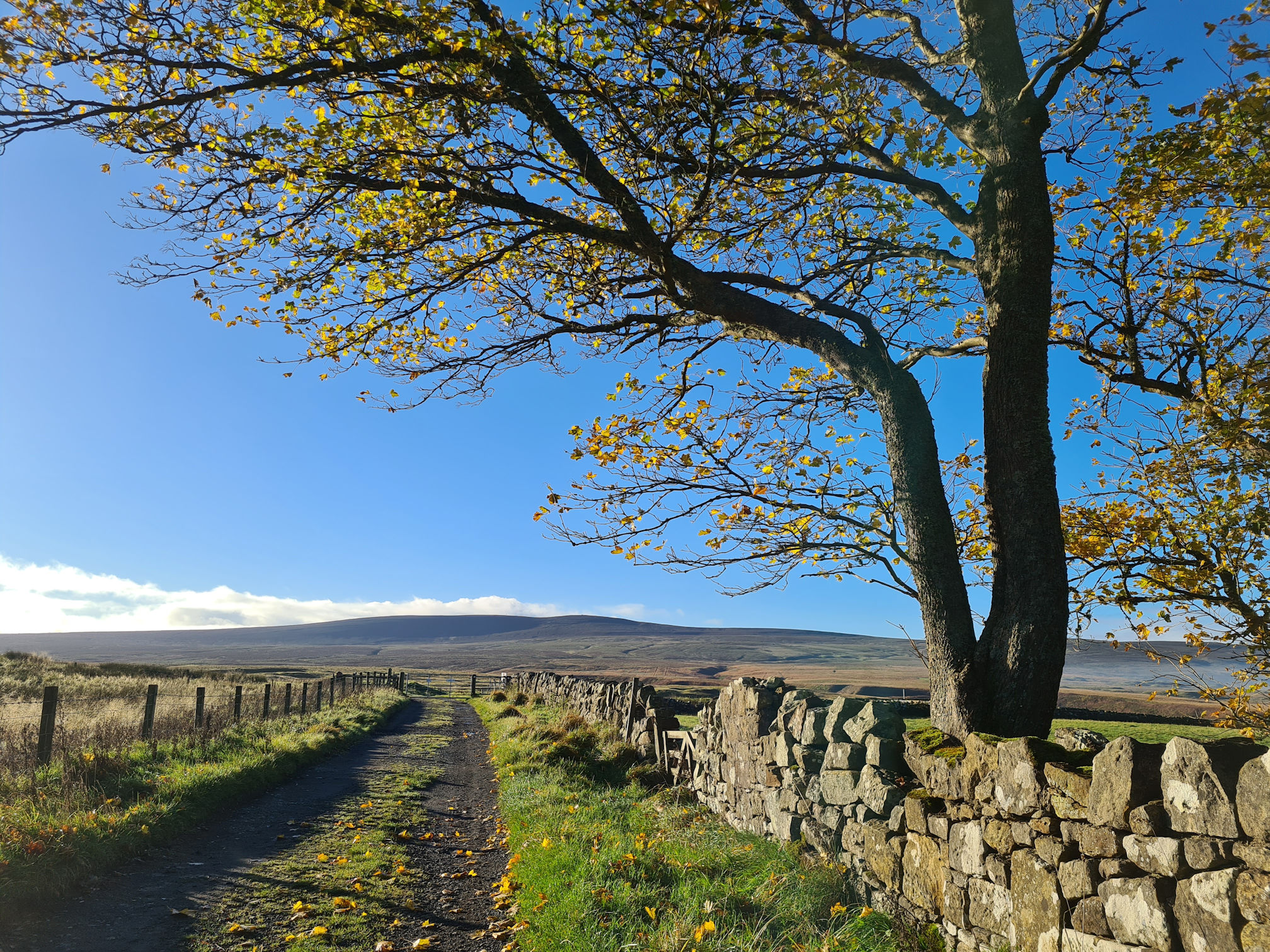
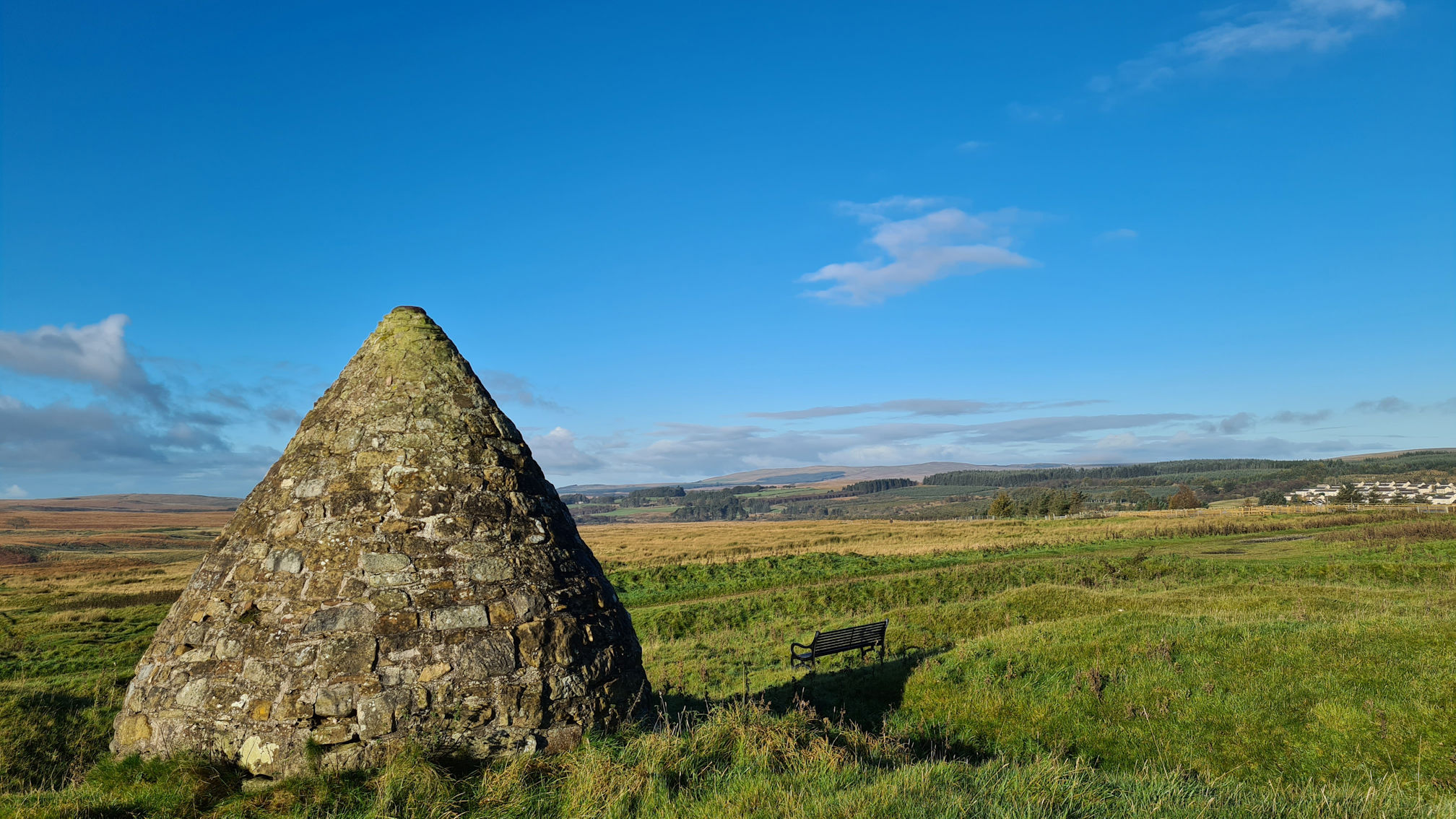
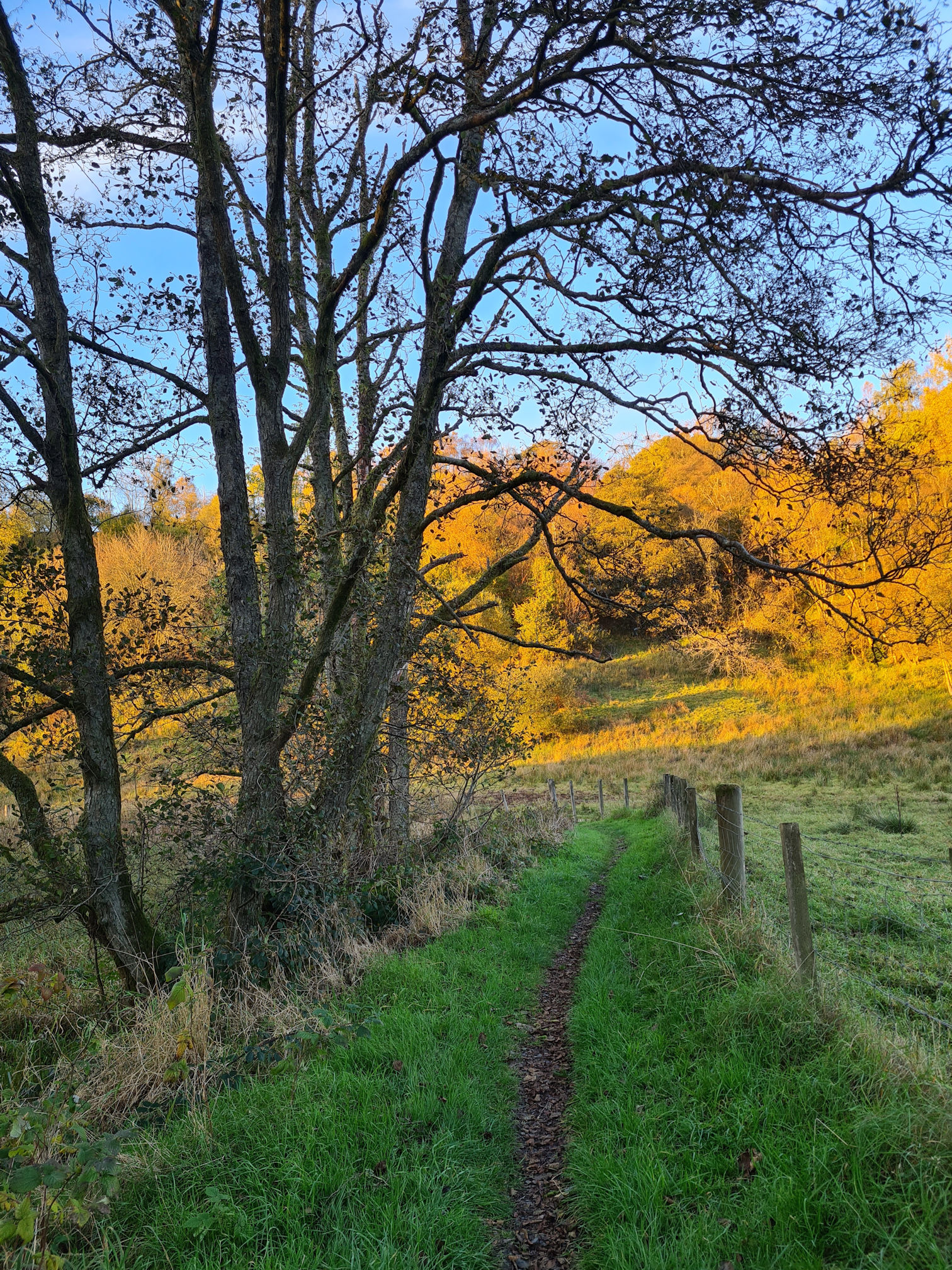
I looked ahead and wow, how beautiful is this! I walked on, following what looked like the road to nowhere, and not just any old road …
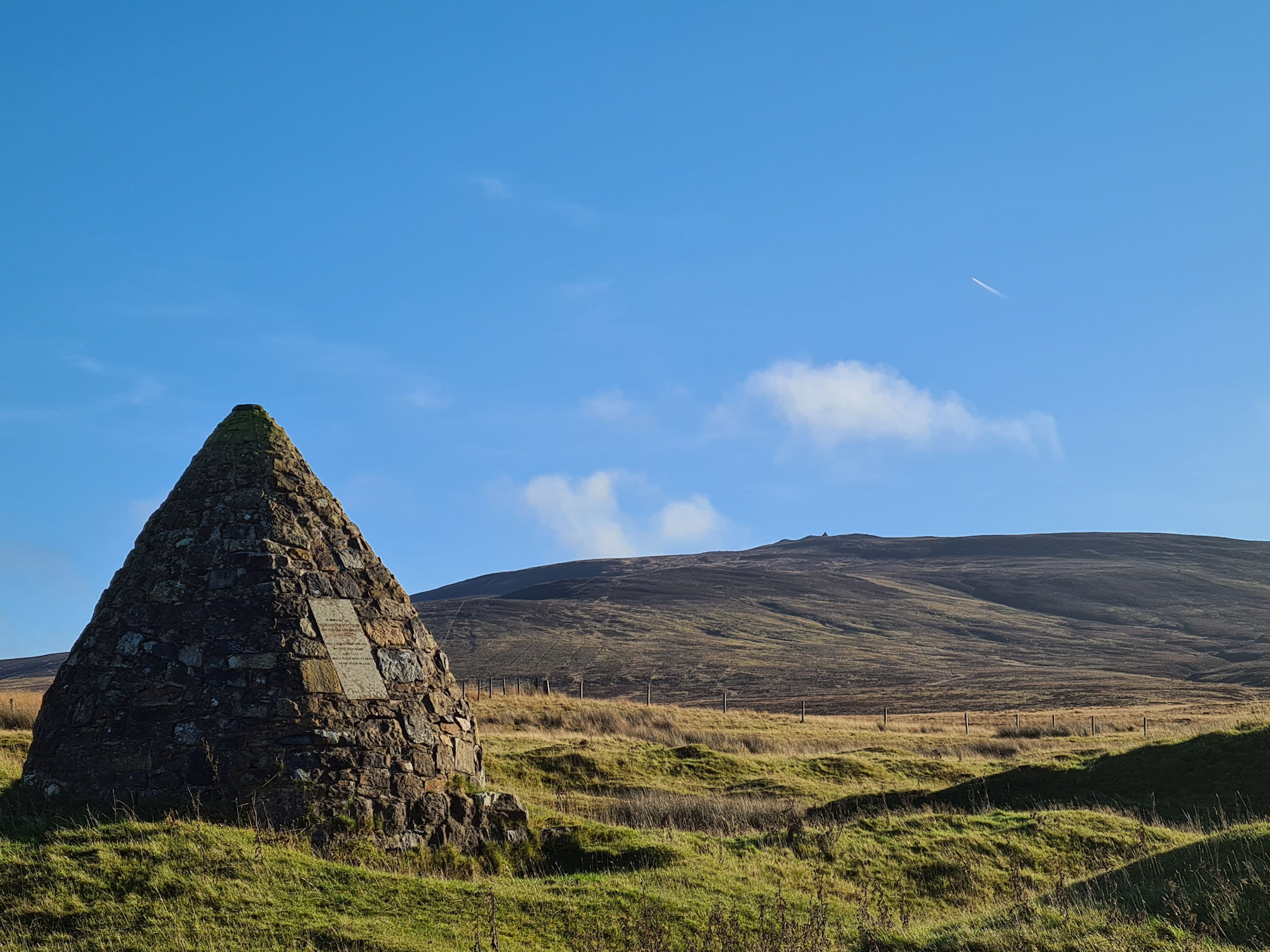
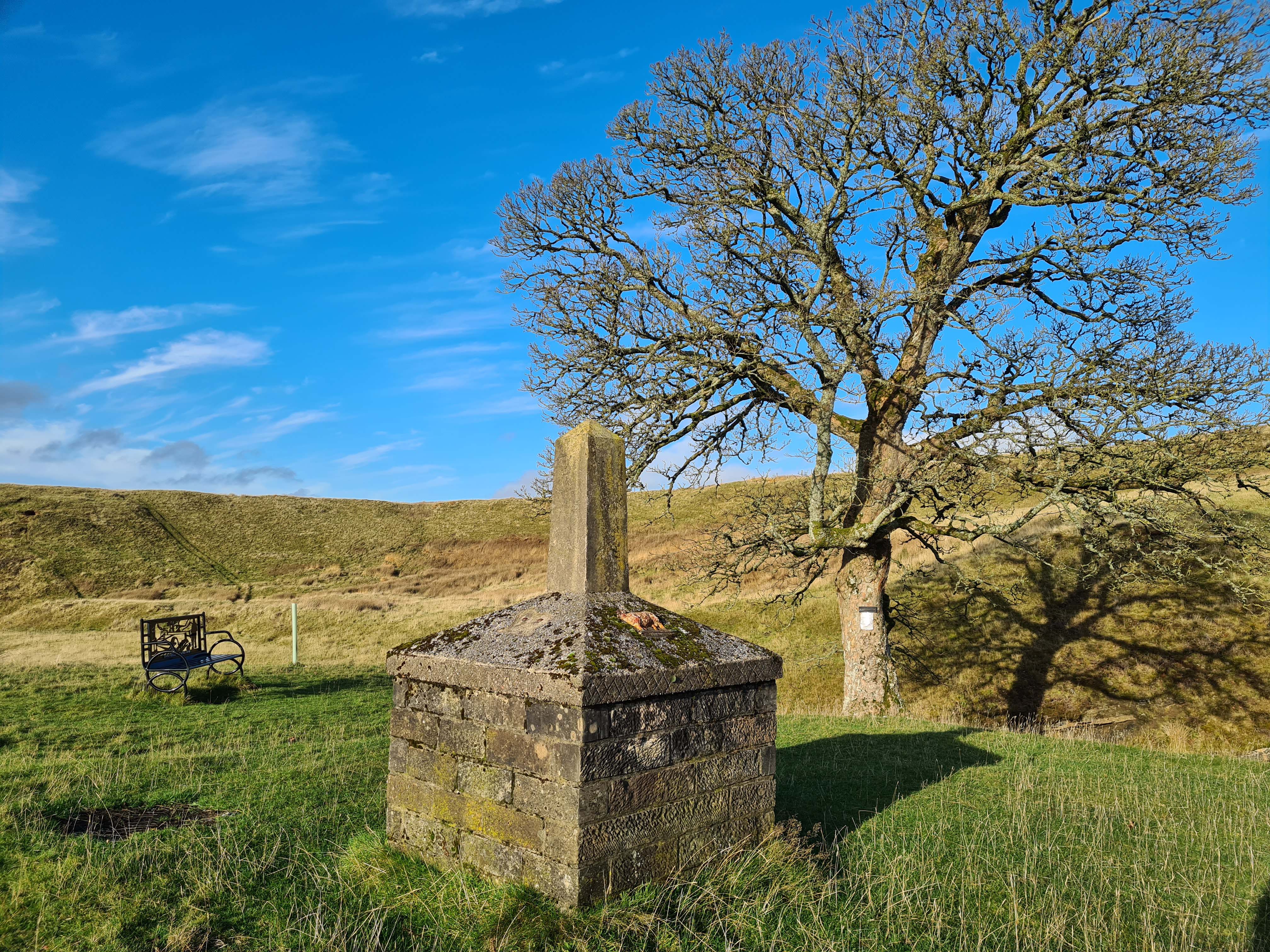
John Loudon McAdam
This was the first road where John Loudon McAdam experimented with different road building materials and techniques. He would drain and lay down roads made of multiple layers of small broken stones, naturally compacted by traffic, which became known as ‘Macadamisation’ with his invention used throughout the world!
I should have turned right here for the River Ayr Way, but I planned to revisit John Loudon McAdam’s memorial cairn, which is only a short detour straight on.
John Loudon McAdam was born in Ayr in Ayrshire. After his father died he was sent to the USA with his uncle, until The War of Independence forced him to return to Scotland with his family.
He managed the tarworks for Lord Dundonald’s British Tar Company, then eventually bought the company from him. It’s important to note that he never used tar on his roads, and his nickname ‘Tar McAdam’ came from owning the tarworks. The tar he produced was for water proofing mainly ropes.
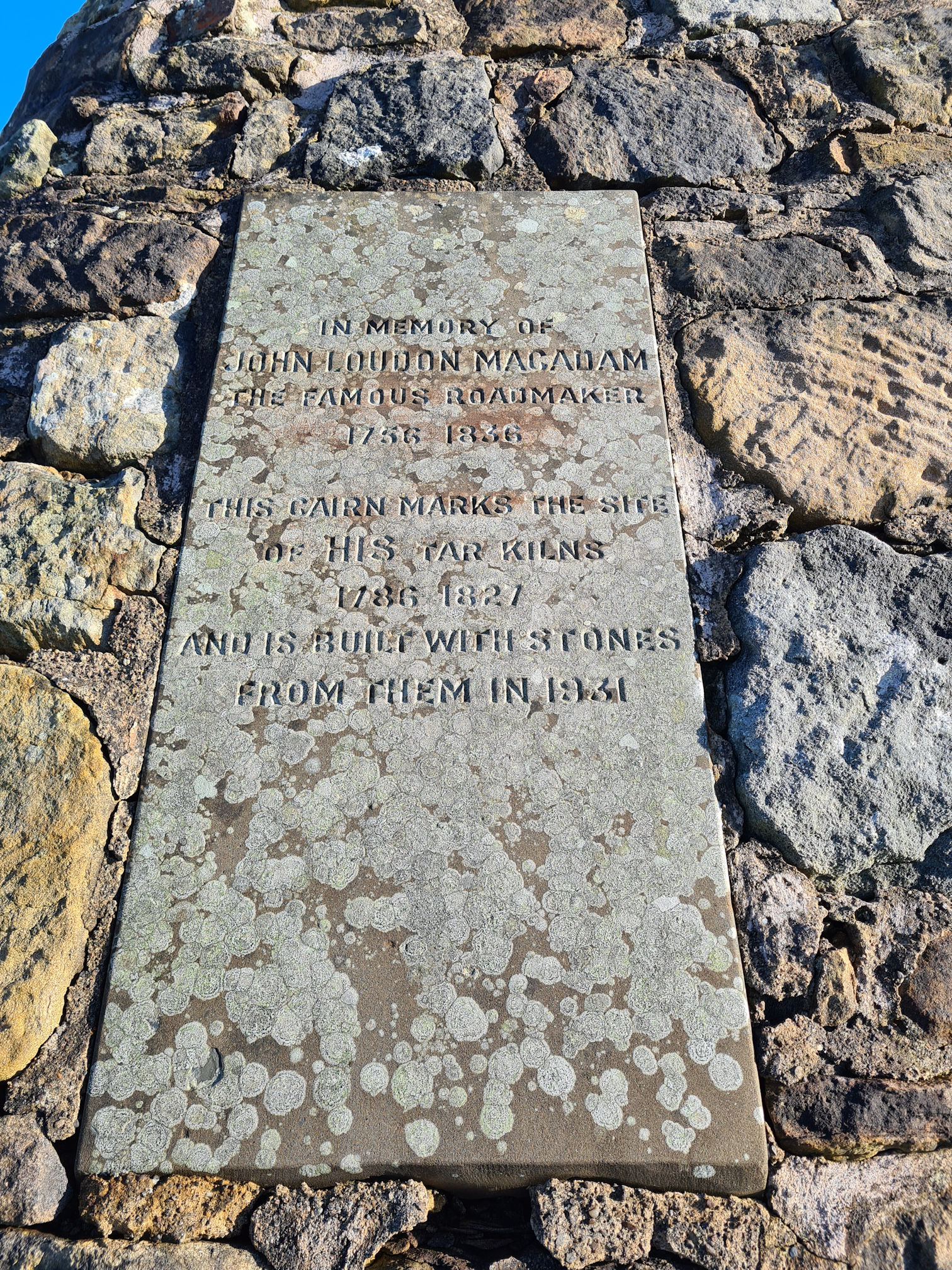
The writing on the cairn inscription reads:
In memory of
John Loudon MacAdamThe famous Roadmaker
1756 to 1836This cairn marks the site of his Tar Kilns
1786 to 1827and is built with stones
from them in 1931
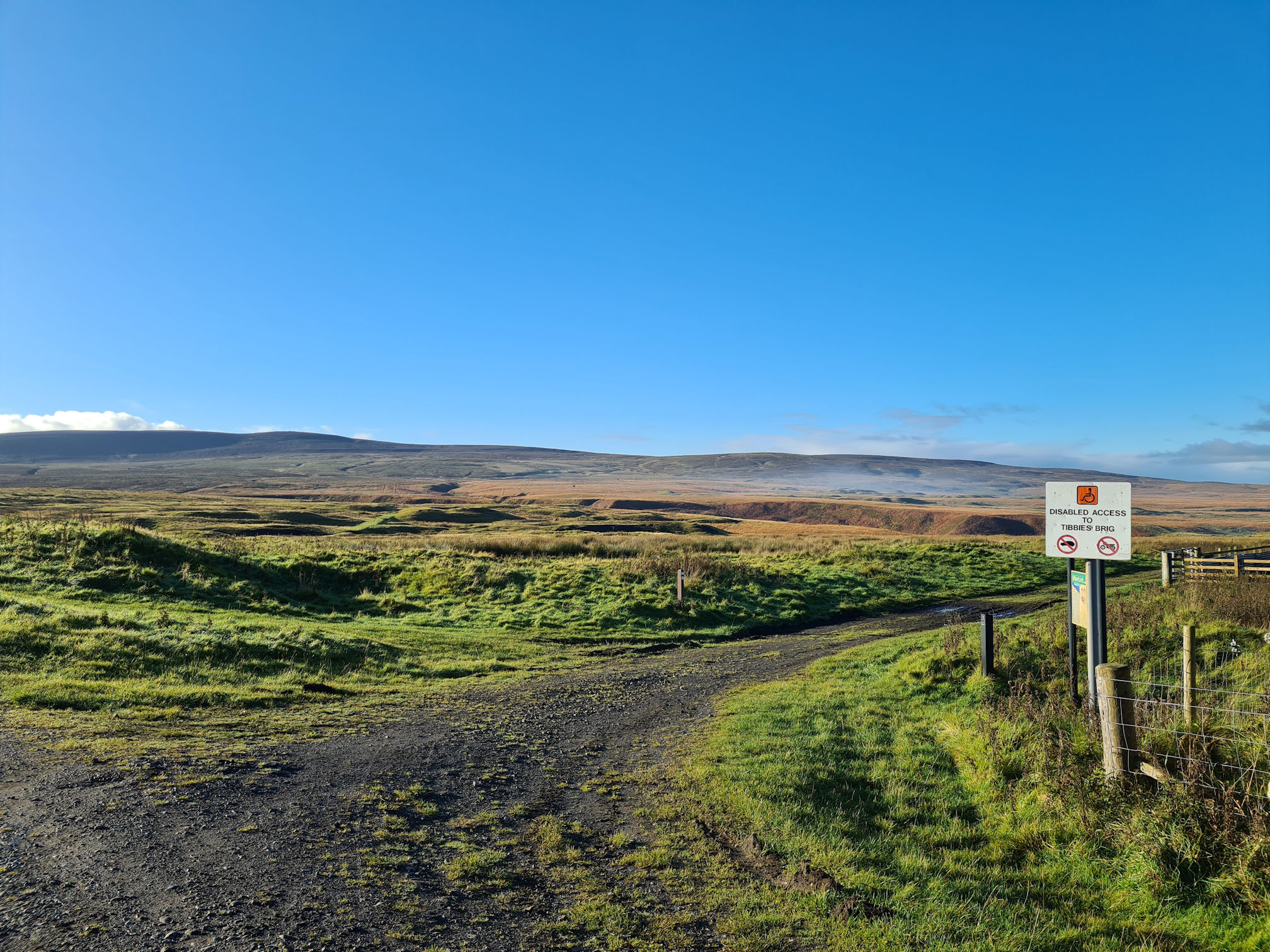
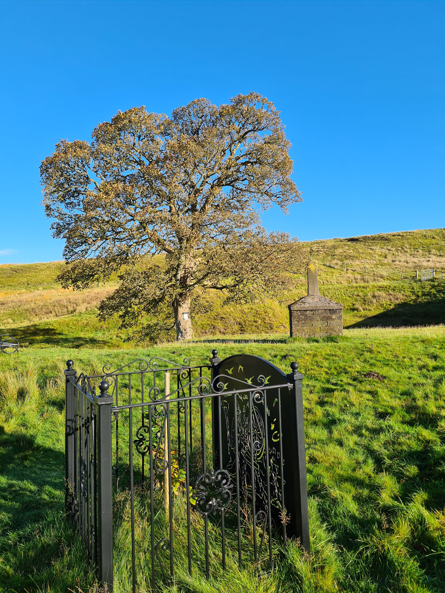
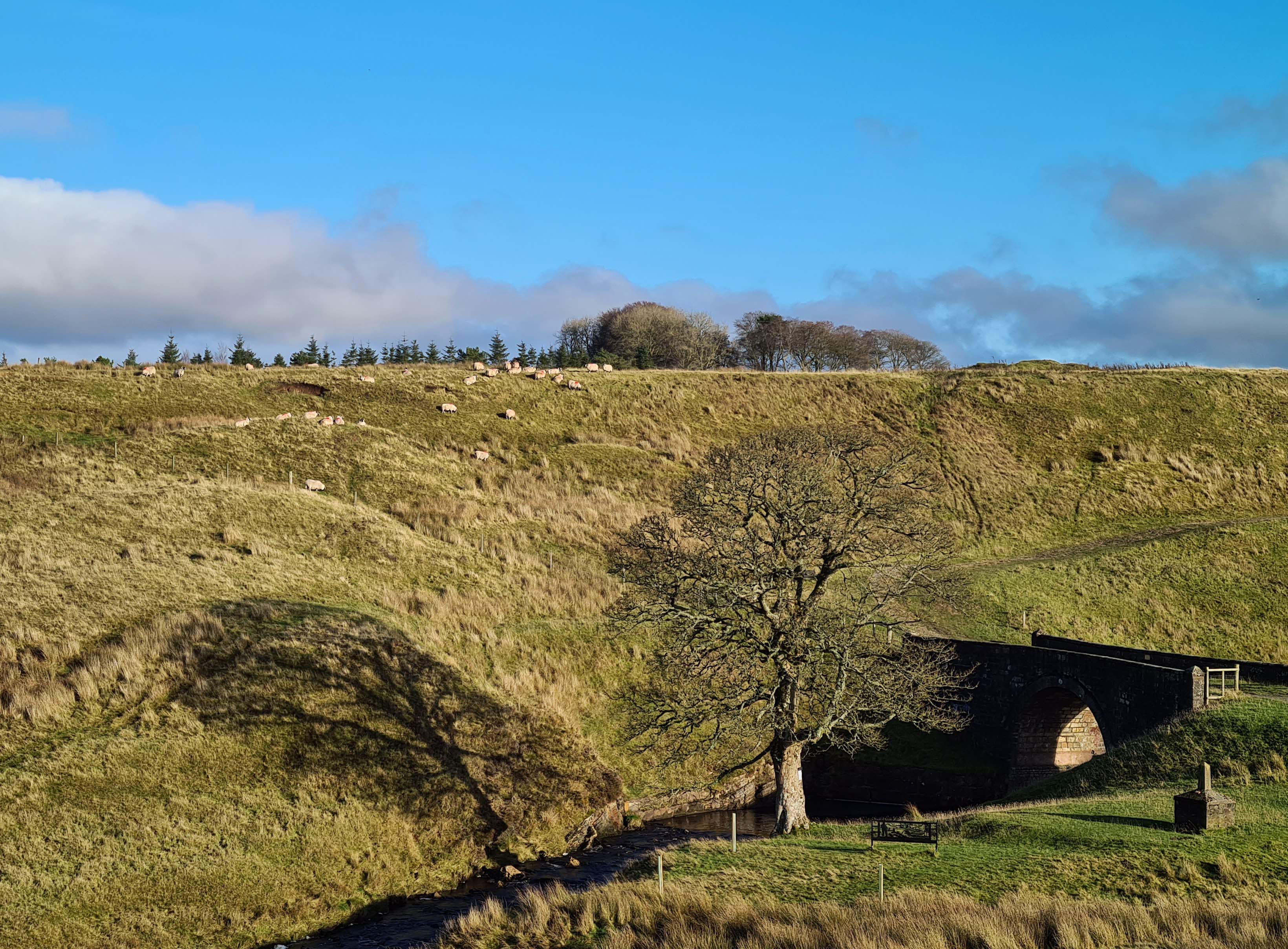
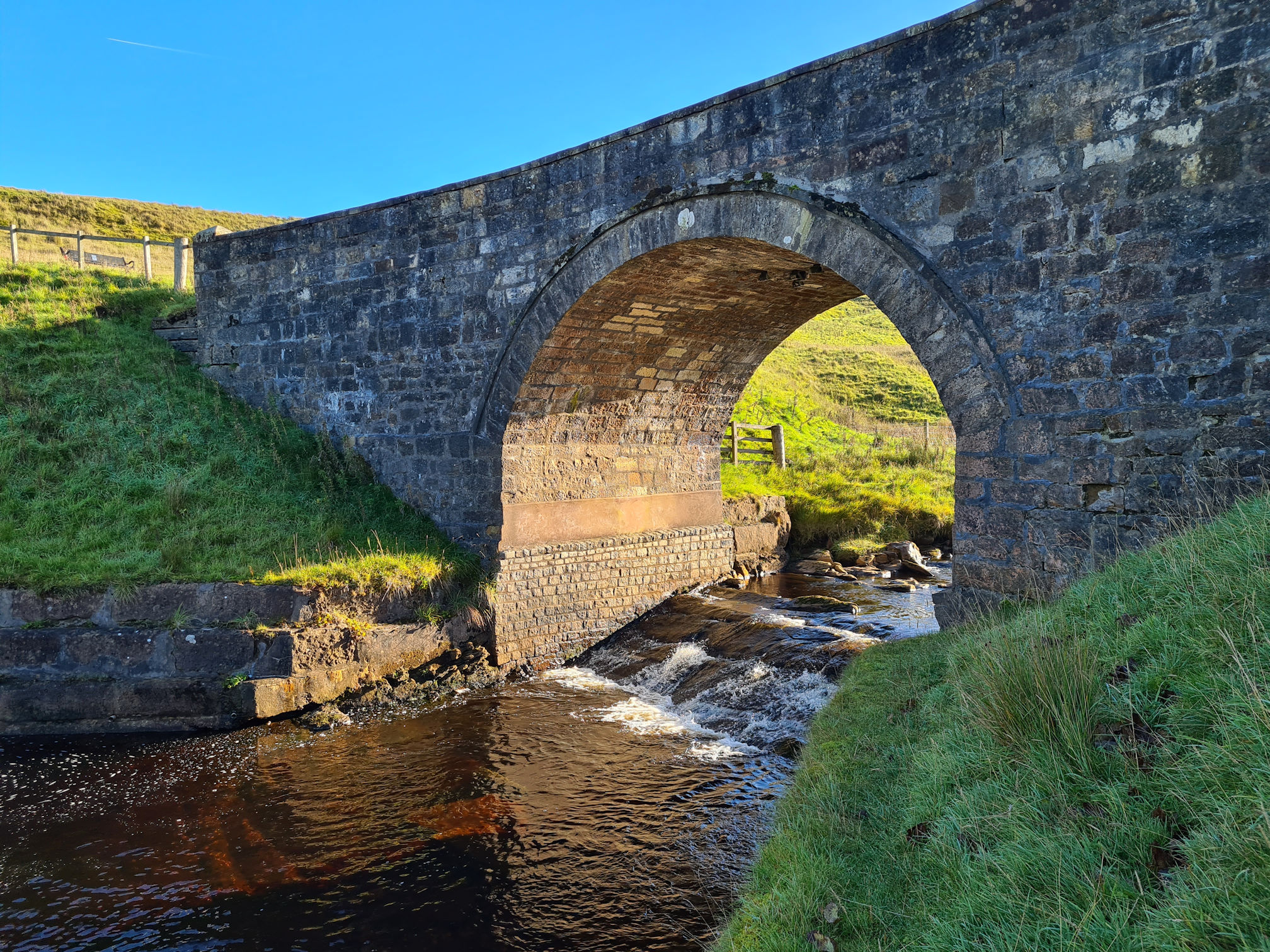
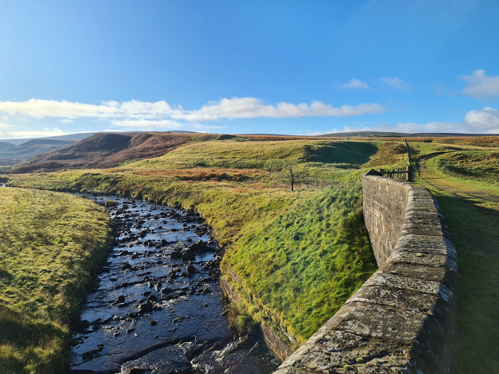
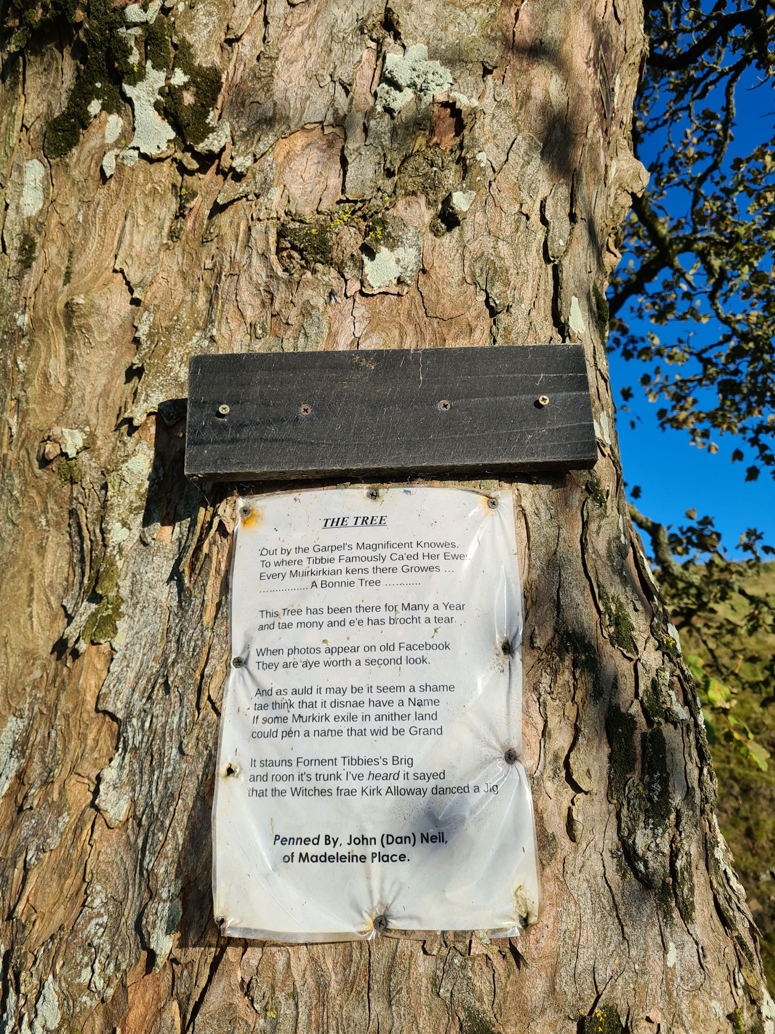
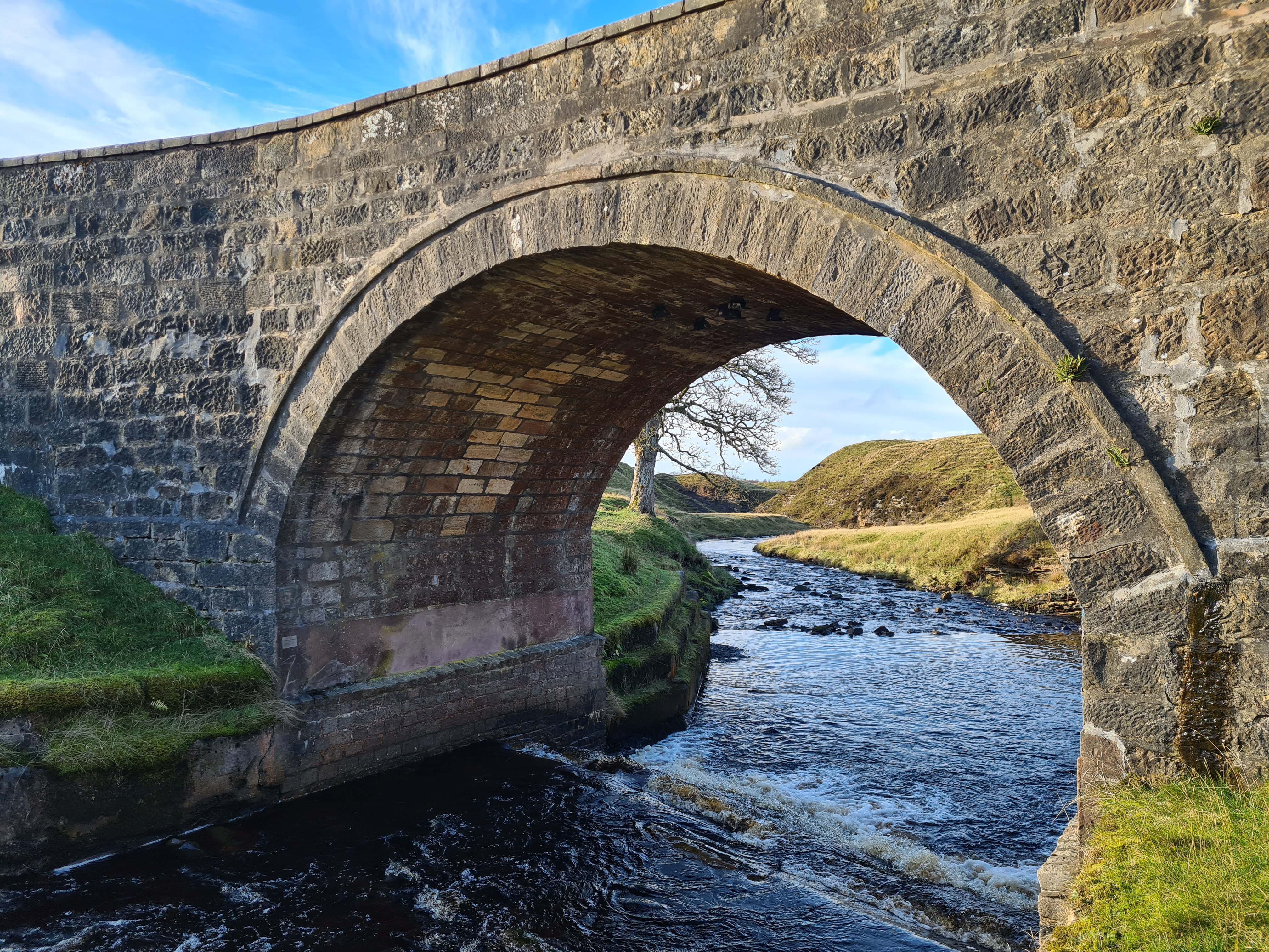
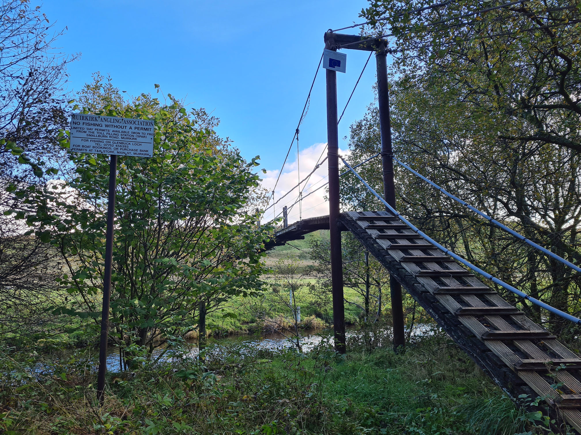
Tibbie’s Brig (Garpel Bridge)
Walking back from John’s Cairn, I was now on my way to Tibbie’s Brig, yay!
I first visited Tibbie’s Brig in November 2022 with my friend Susanne from Adventures Around Scotland. We walked the Twa’ Brigs walk which included Tibbie’s Brig where Susanne introduced me to Tibbie’s story. I had never heard of her before. We enjoyed a beautiful day like this, and I was in awe of this place and its peaceful surroundings. I was excited to be there again and to walk beyond the bridge this time!
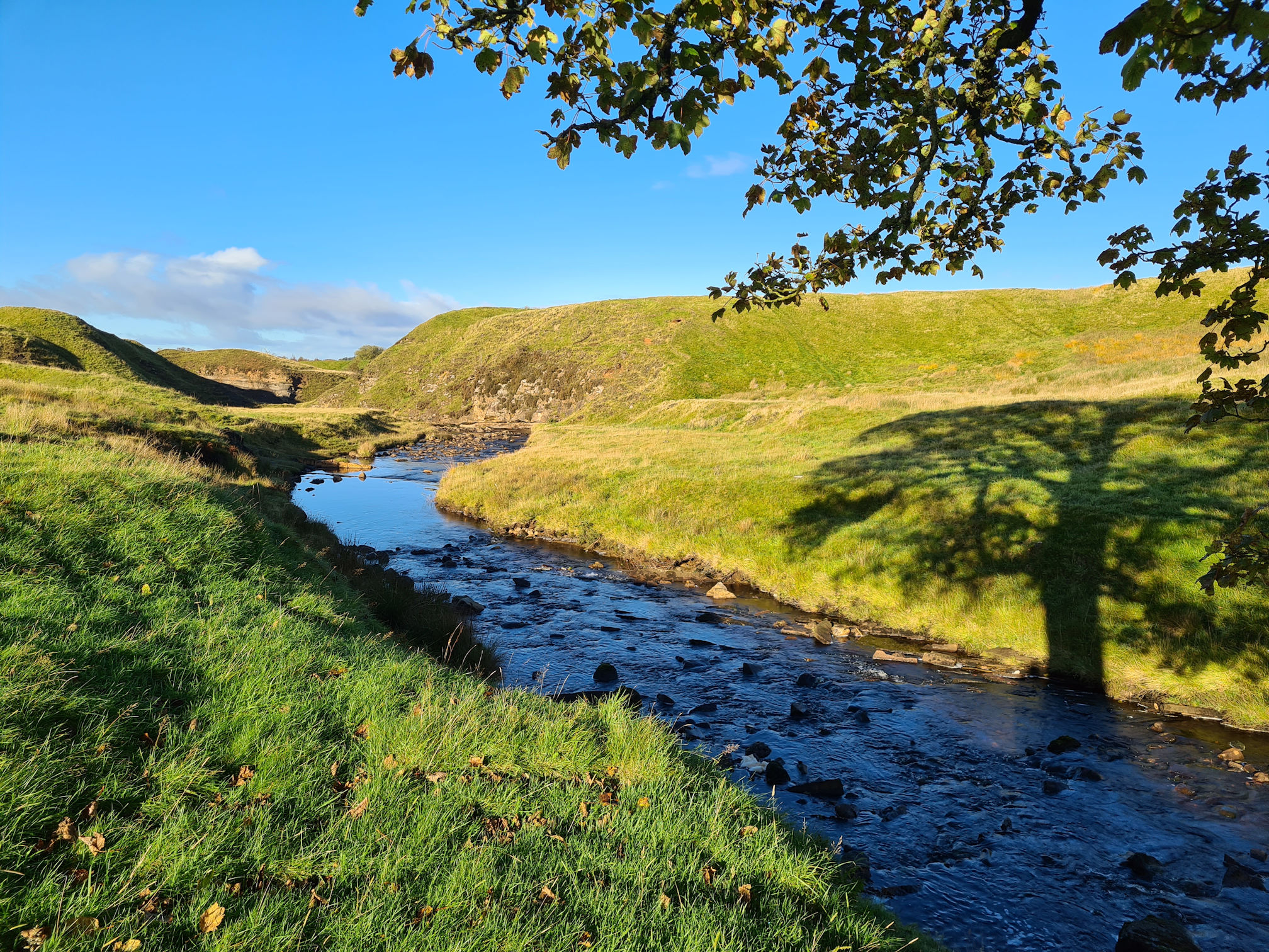
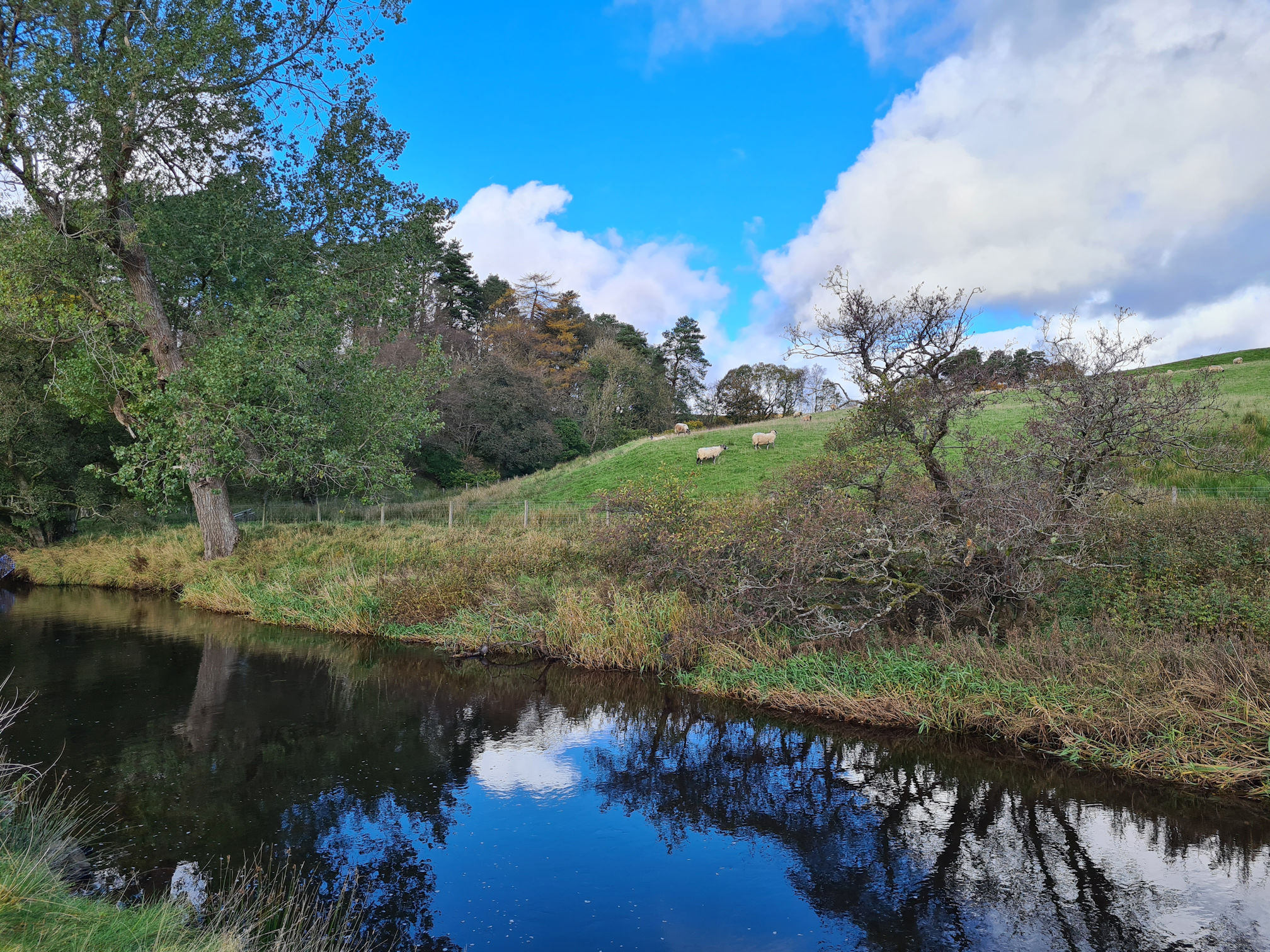
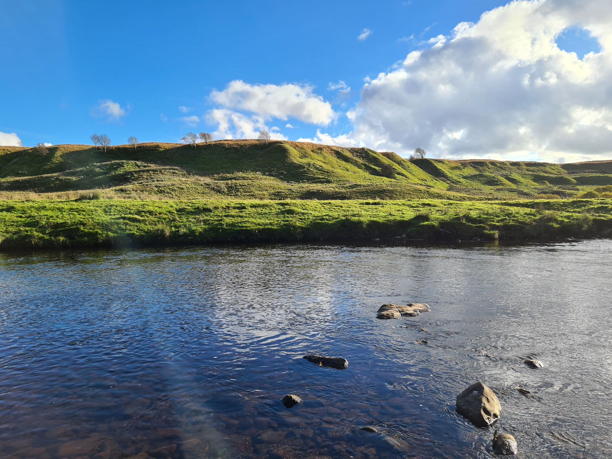
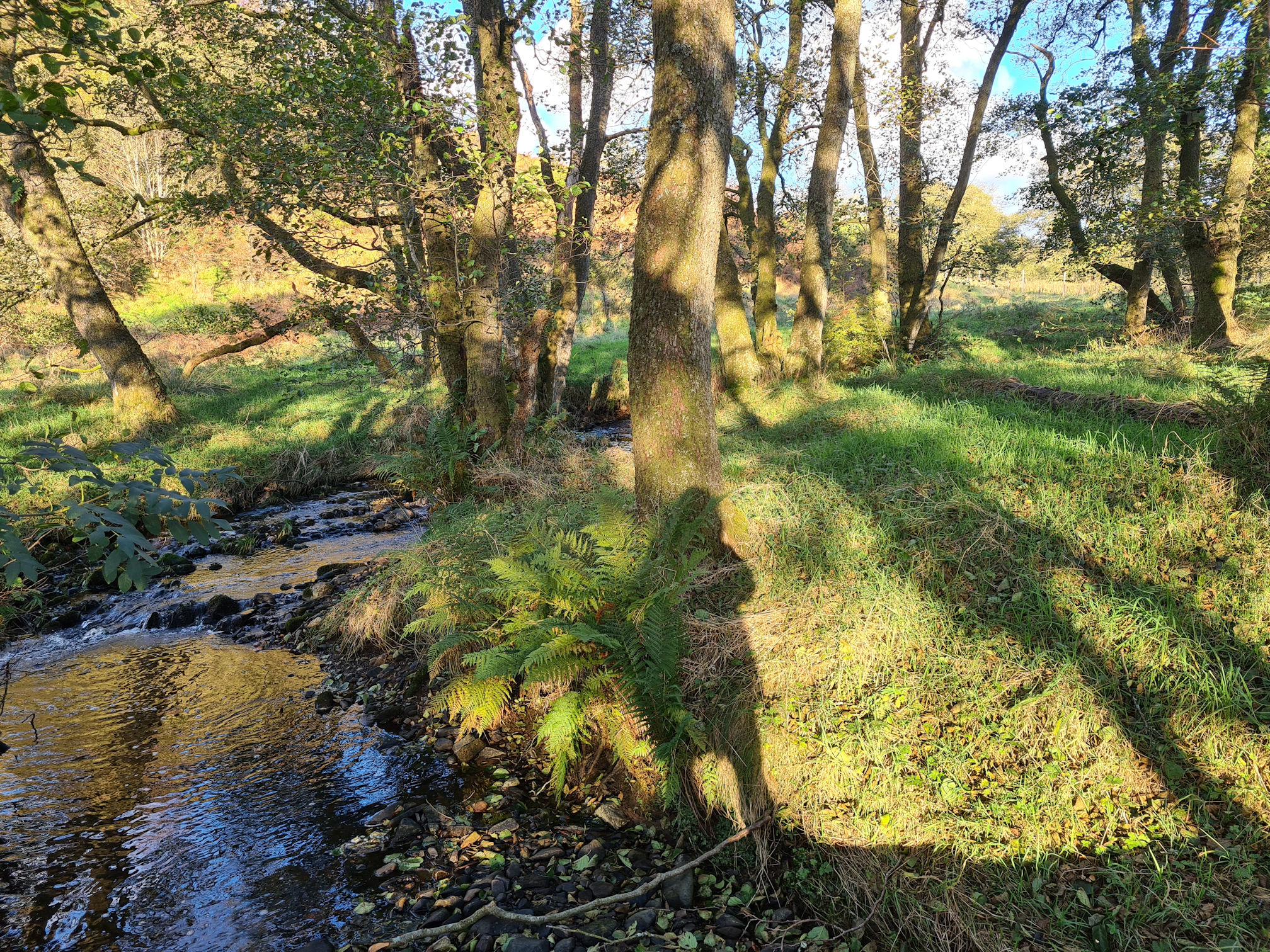
I stopped at the top of the hill before the bridge to look at the landscape sculpted around me. The meandering water flowing through the valley-like landscape below isn’t the River Ayr though, this is the Garpel Water.
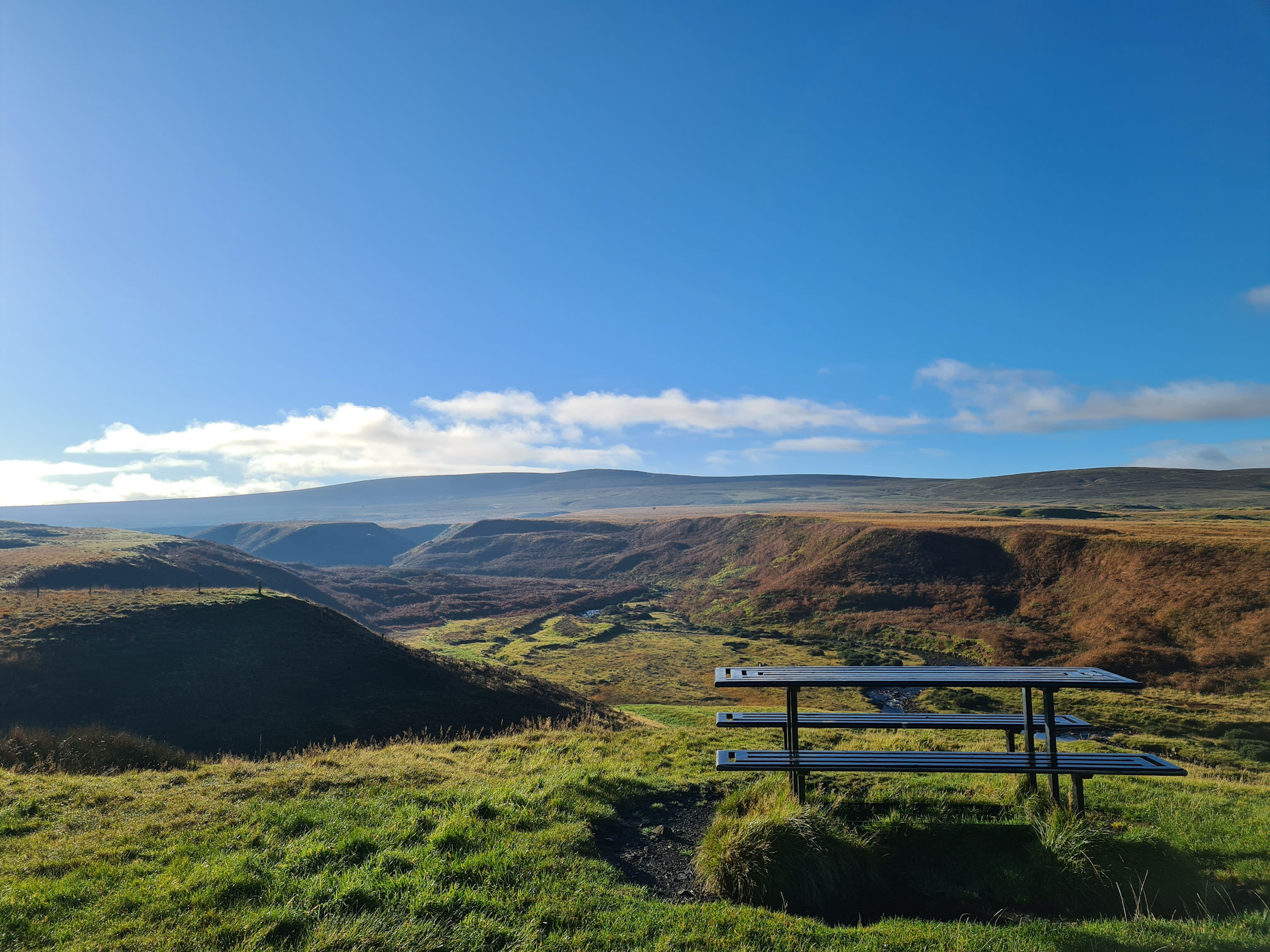
I would have loved to sit at the picnic table and feel immersed in this beautiful picture. I also wondered if this was natural or a result of former industrial works.
Looking at the National Library of Scotland map from 1843 to 1882 (far right on the map), this area does indeed show coal pits, gravel pits, quarries and limekilns. A current map also shows evidence of the former mining landscape from above: Google Maps: Garpel Water, Muirkirk.
I was also thinking that this would be a unique filming location. Imagine what it would look like in the snow! In fact, I can imagine what it would feel like in the snow 🥶
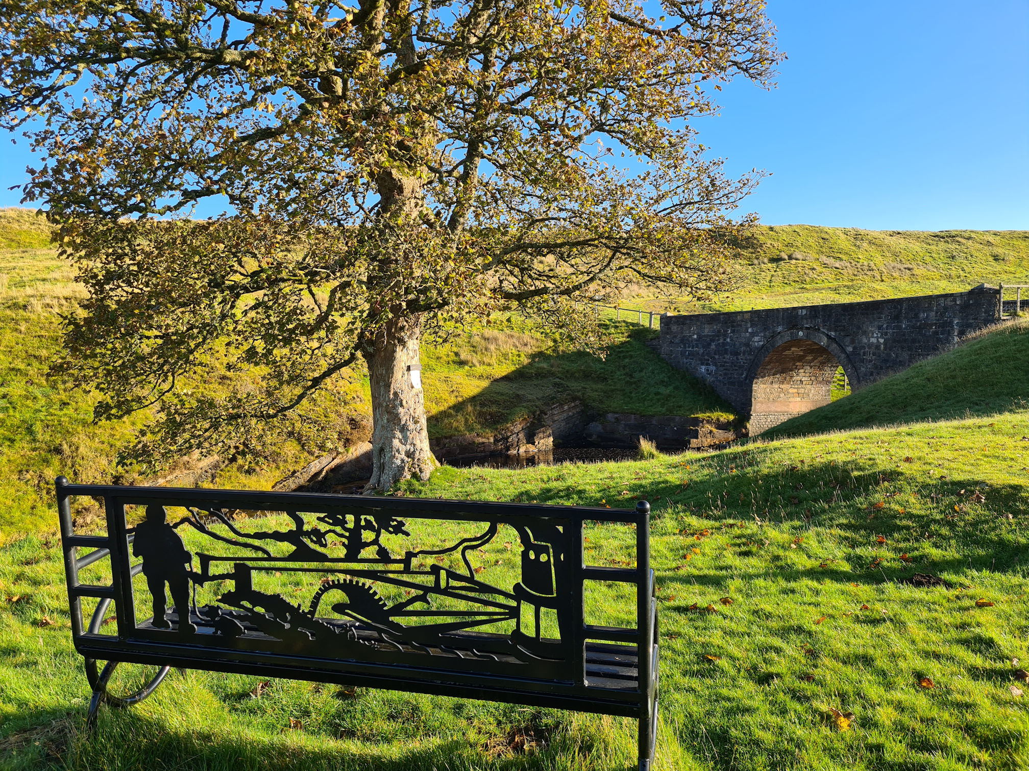
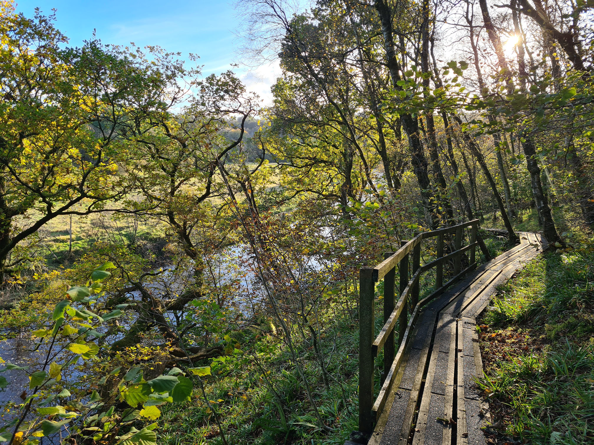
I turned to see pretty Tibbie’s Brig and walked down towards it. The bridge was previously known as the Garpel Bridge with the Garpel Water flowing underneath and eventually meeting up with the River Ayr, joining its journey to the sea.
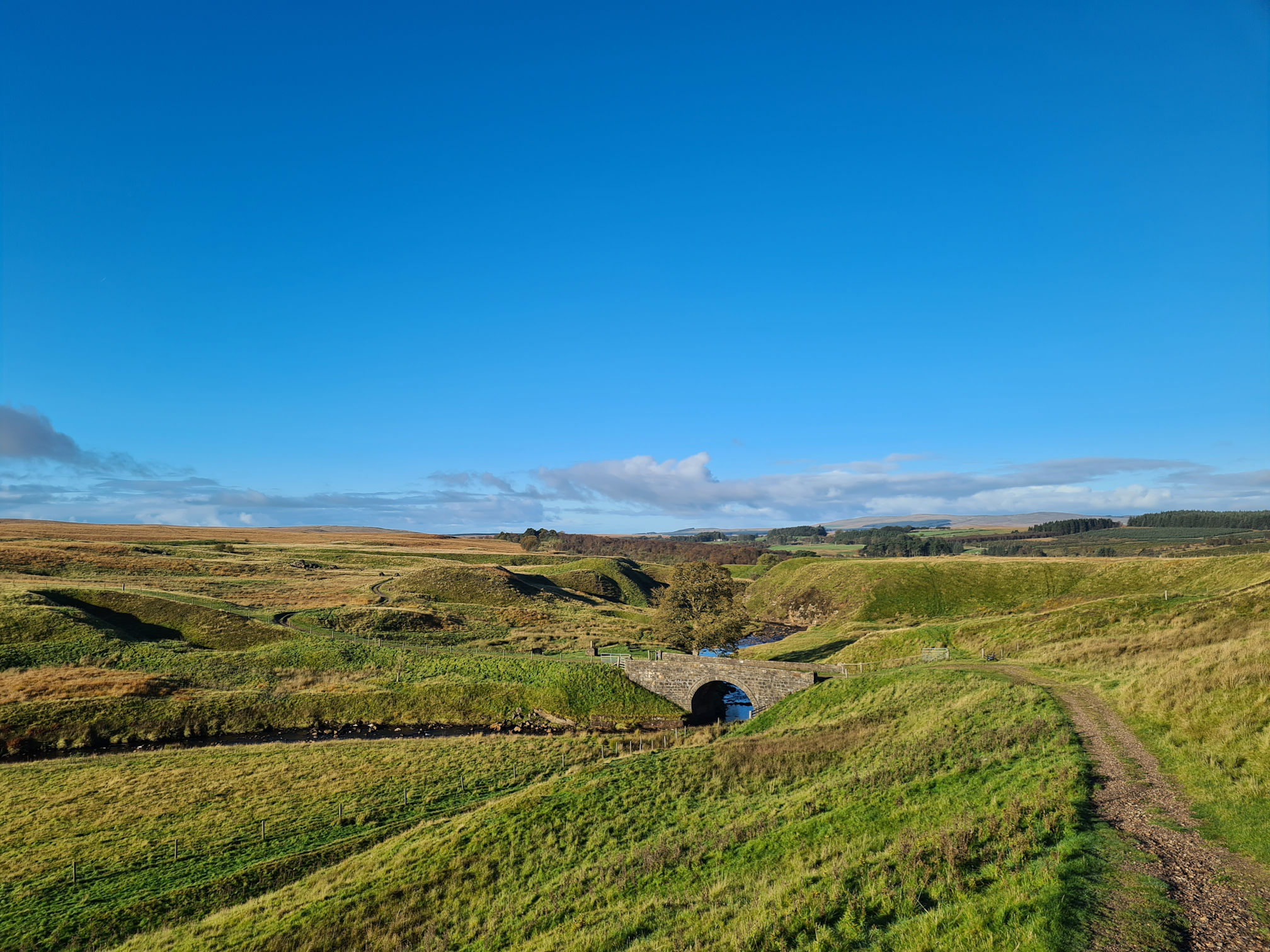
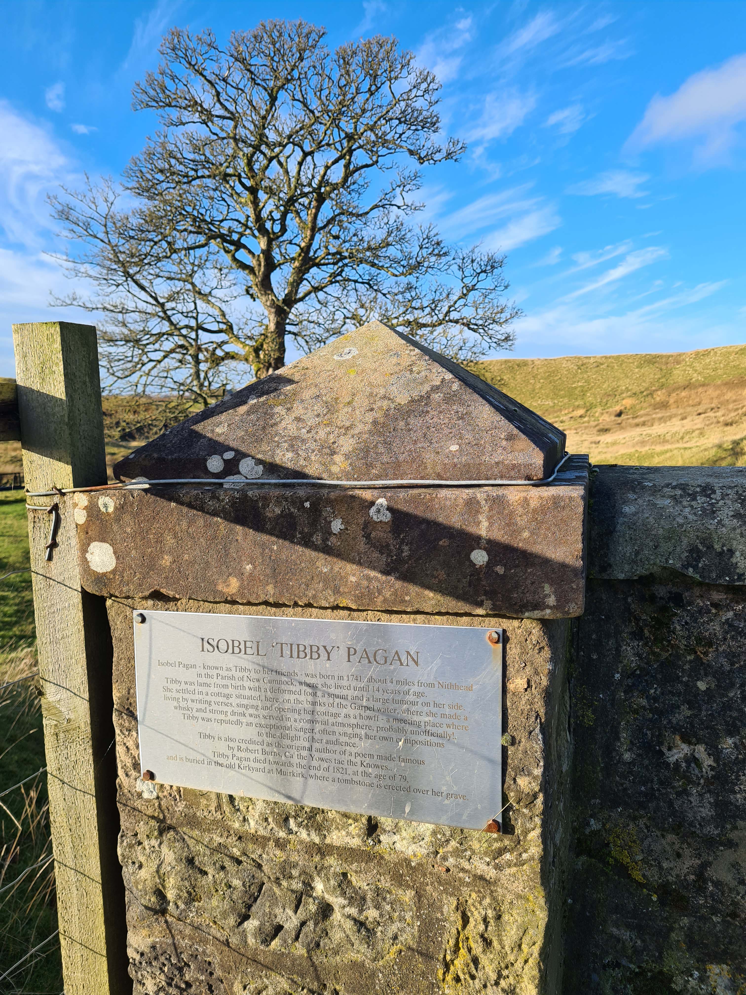
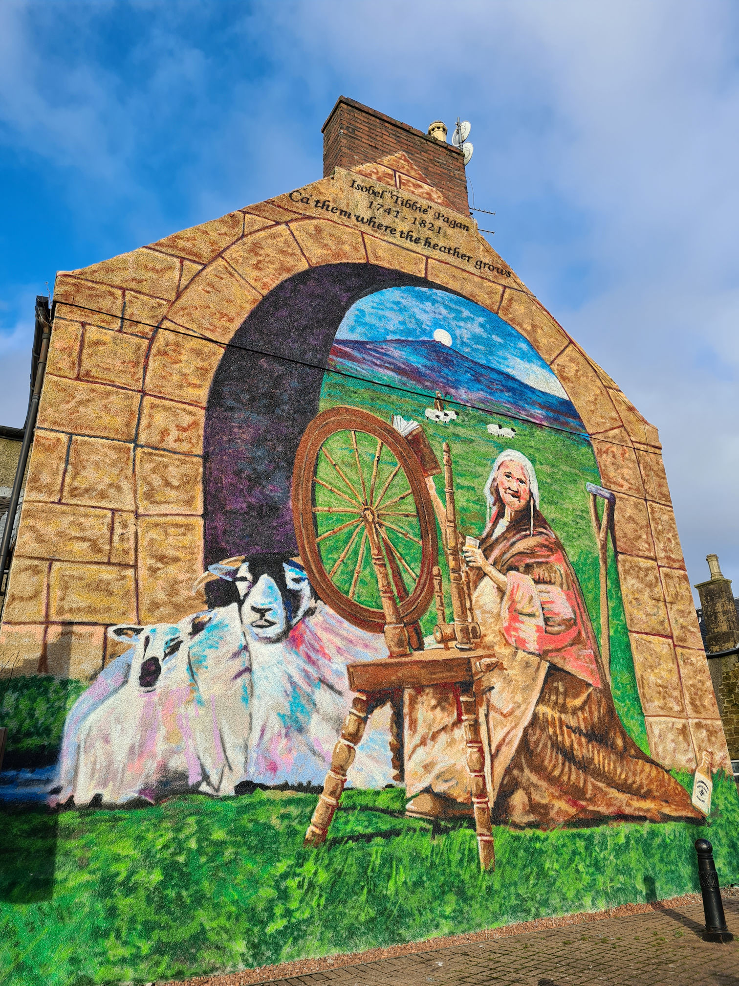
The bridge was renamed after Isobel ‘Tibbie’ Pagan, a Scottish poet, singer and shepherdess. Tibbie was born in the Parish of New Cumnock in 1741 but moved to Muirkirk when she was a teenager. Later in life she lived in a cottage that once stood here on the banks of the Garpel Water.
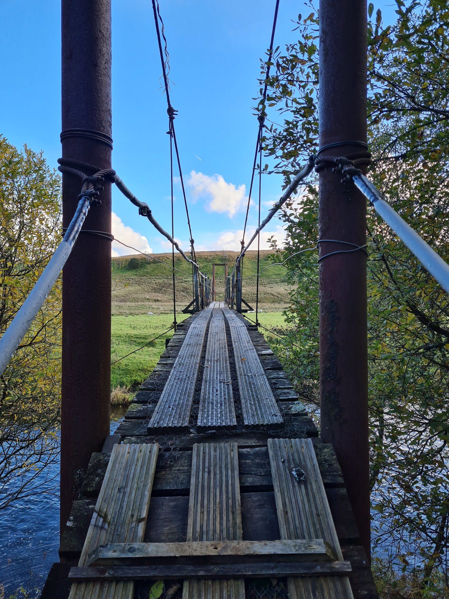
As I gazed over the wall of Tibbie’s Brig, I was in love with the scene in front of me. The first time I visited I remember feeling an exciting butterfly feeling in my tummy. How could such a barren landscape be so captivating? It is totally unexpected.
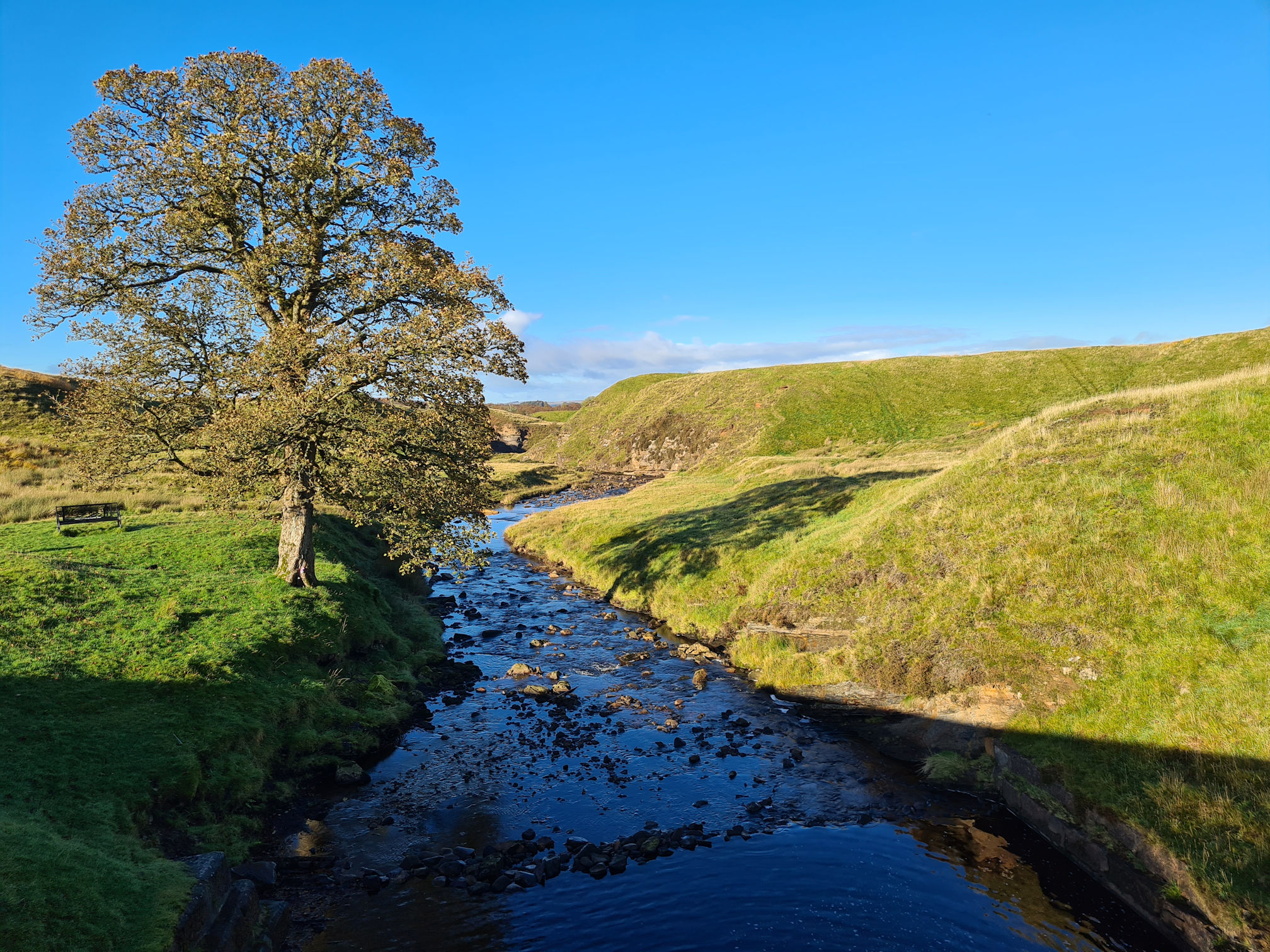
I found two old photos of Tibbie’s Brig on Ayrshire History: Tibby’s Brig that show there was once two trees planted beside the Garpel Water. I think this is a Sycamore tree. What a beauty!
Tibbie was born lame with a deformed foot, had a squint in her eye, and a large tumour on her side. She ran a Howff, an unofficial meeting place where alcohol was served, most likely illegal whisky and other alcohol. Local workers would visit Tibbie for refreshments after a hard day’s work. Maybe even visitors to Muirkirk would as well.
Tibbie also made a living singing and voicing her own poems. Her singing voice was supposed to be “exceptional”.
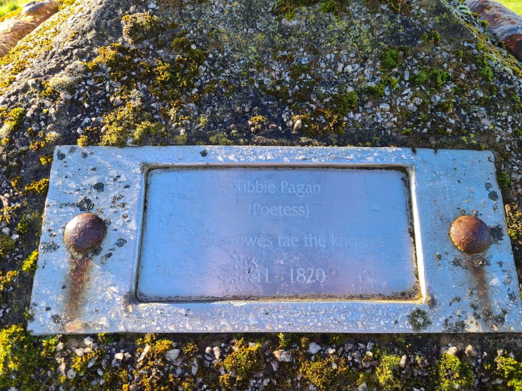
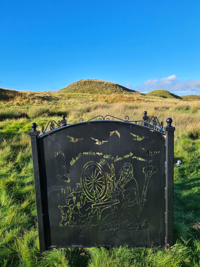
It is thought that Tibbie might have met our national poet Robert Burns as he visited his friend John Lapraik in 1785, another Scottish poet in Muirkirk. Tibbie is also thought to be the original author of the poem “Ca’ the Yowes tae the Knowes”, which was later adapted by Robert Burns as his own.
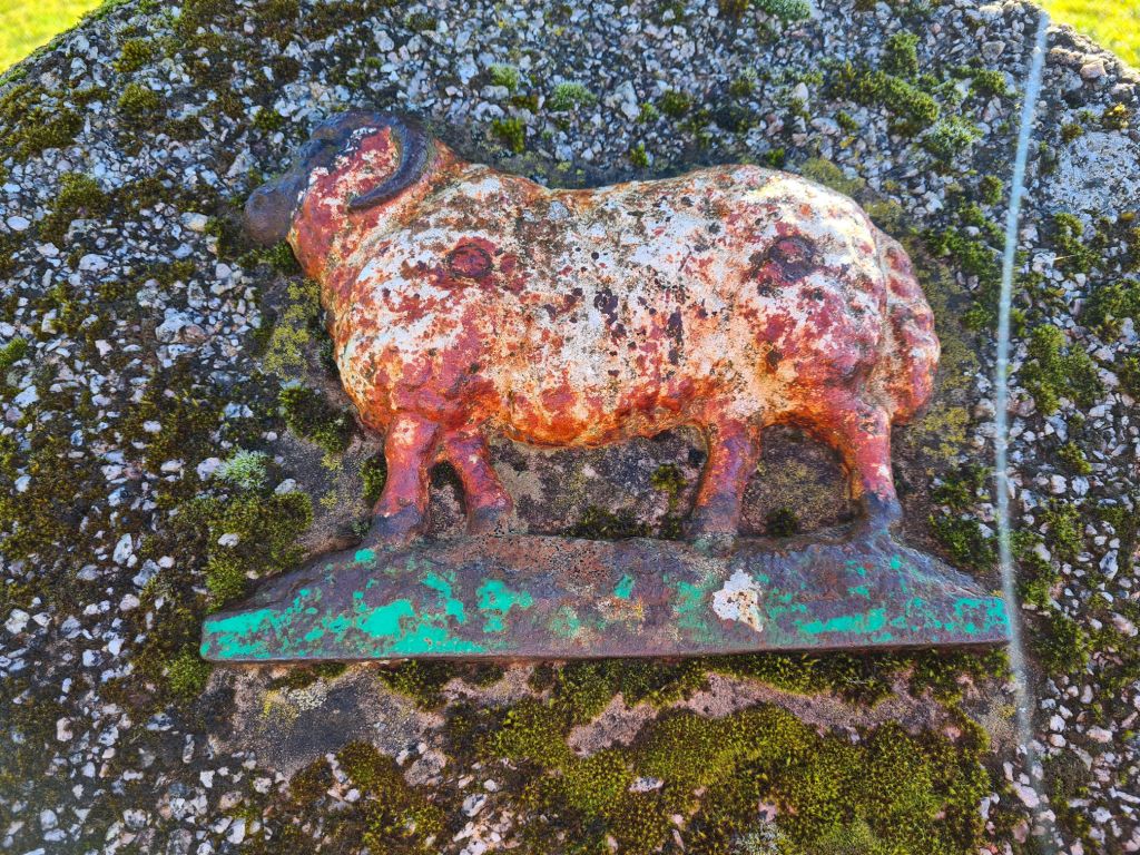
“Ca’ the Yowes tae the Knowes” means “Drive the ewes to the hills”. I had to look that one up as I don’t know much about Scottish poetry. When I first visited with Susanne we saw lots of cute sheep on our walk and at Tibbie’s Brig. The photos above are from that lovely day.
I felt calm as I watched the shimmering light under the bridge and paused to listen to the music of the Garpel Water. I also think I’ve found a new appreciation of bridges!
The sunlight was casting a shadow of the lone tree on the bonnie banks of the Garpel Water. The scene was so pretty that I felt inspired to sit on the grass and try writing a poem. Mind you, I’d be there all day with the way my mind works just now, slower processing …
I just couldn’t help taking more and more photos of this beautiful place. Click or tap to view larger photos in the gallery below.
Just as well I had to move on or Alan would be waiting for me in the dark of night 🤣
There’s also a fantastic mural of Tibbie at the Muirkirk Heritage Miners Memorial Park in the village. For a small village in East Ayrshire there’s a wealth of history here with interesting characters and stories to tell.
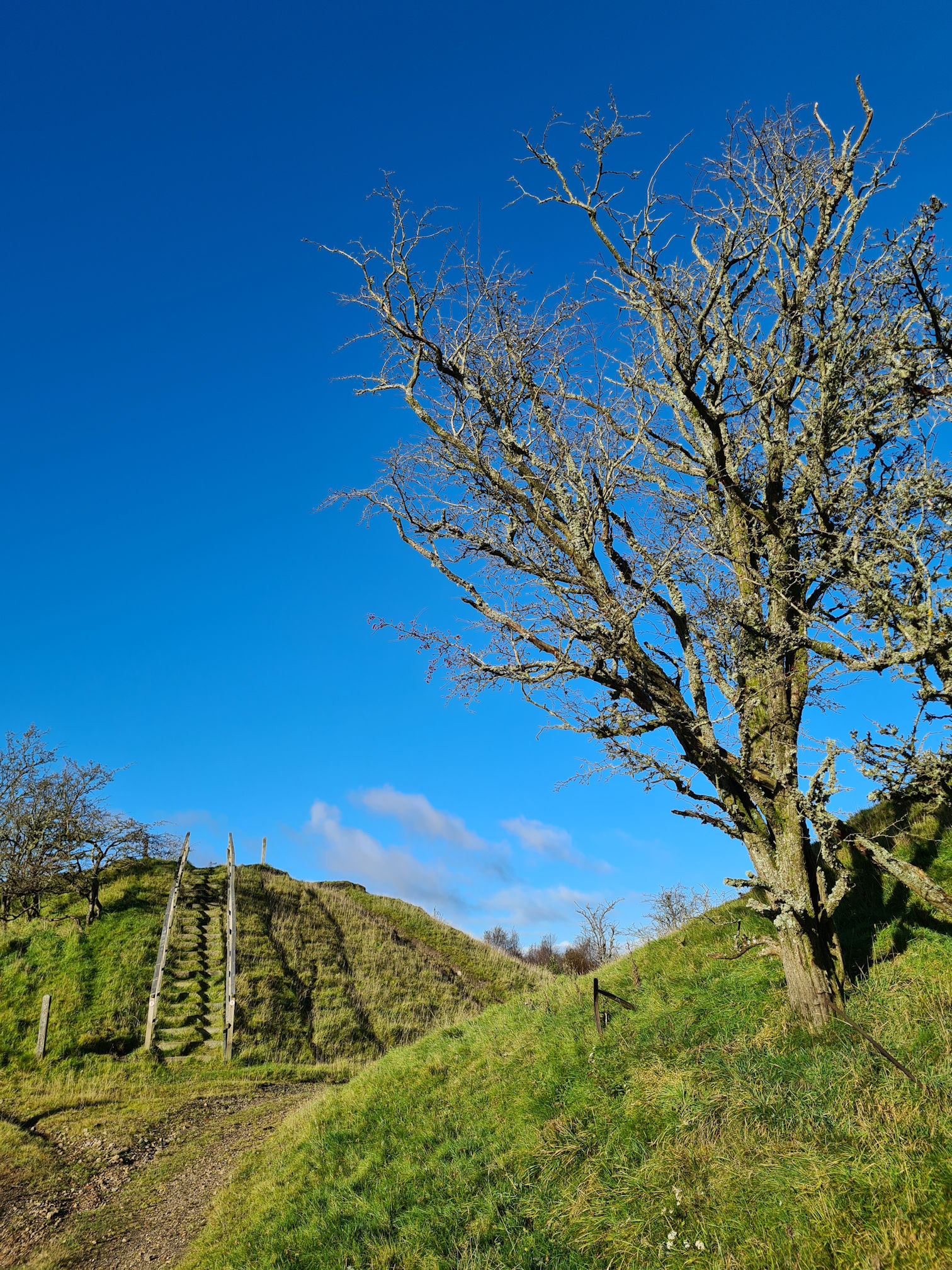
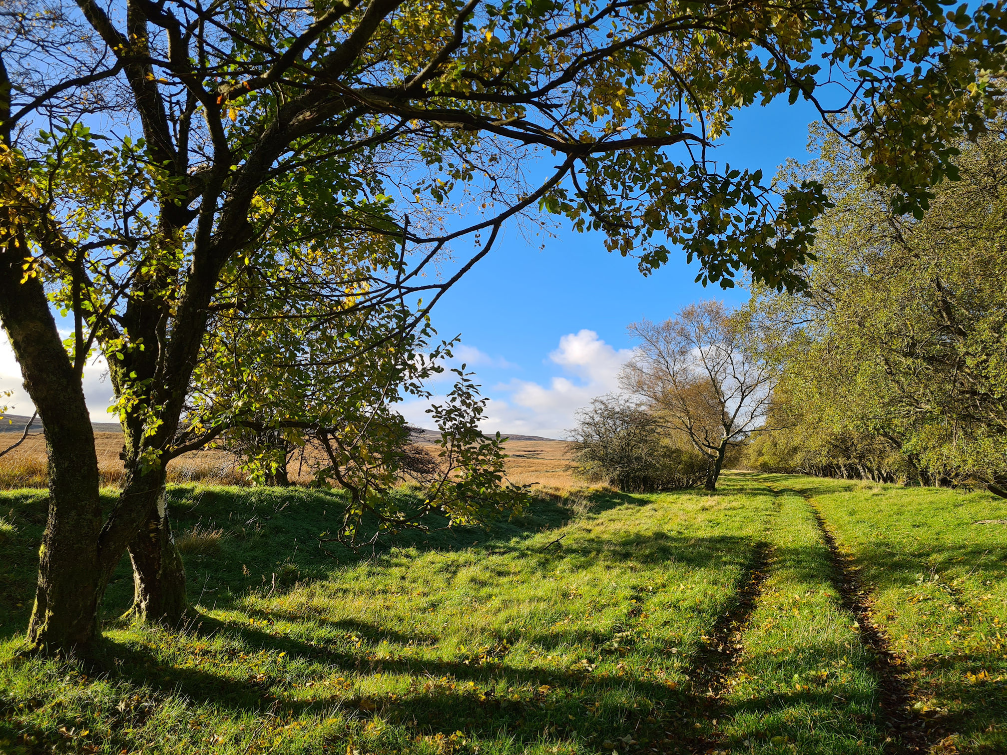
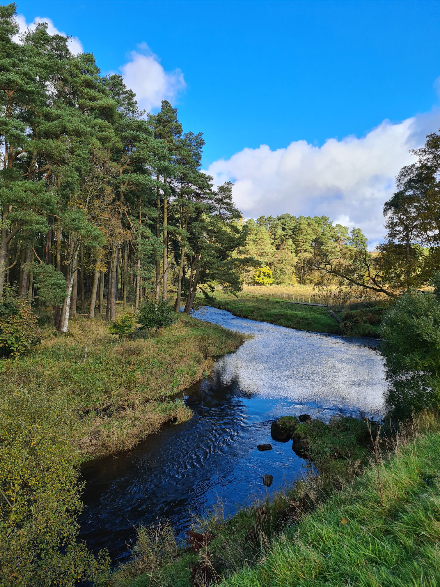
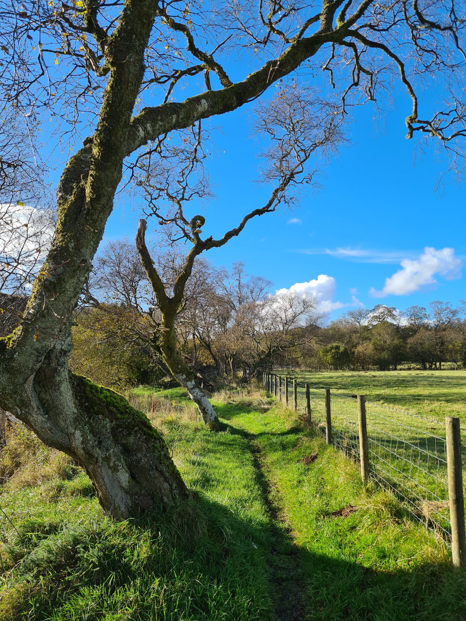
Following an old railway line
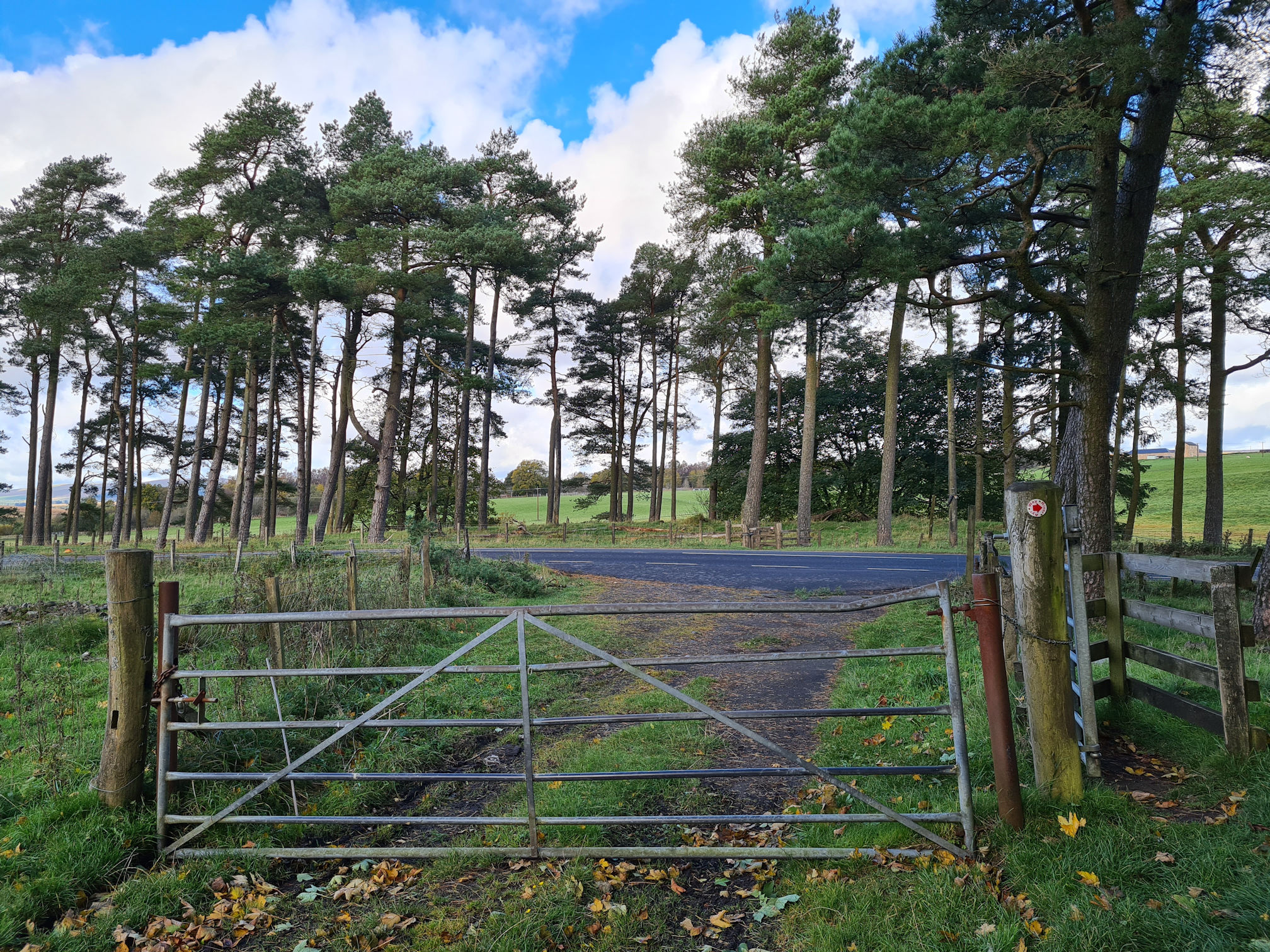
I was sad to leave but I had to keep walking and excited to see where the path took me. I reached a set of wooden steps where the red arrows assured me I was on the right path for the River Ayr Way.
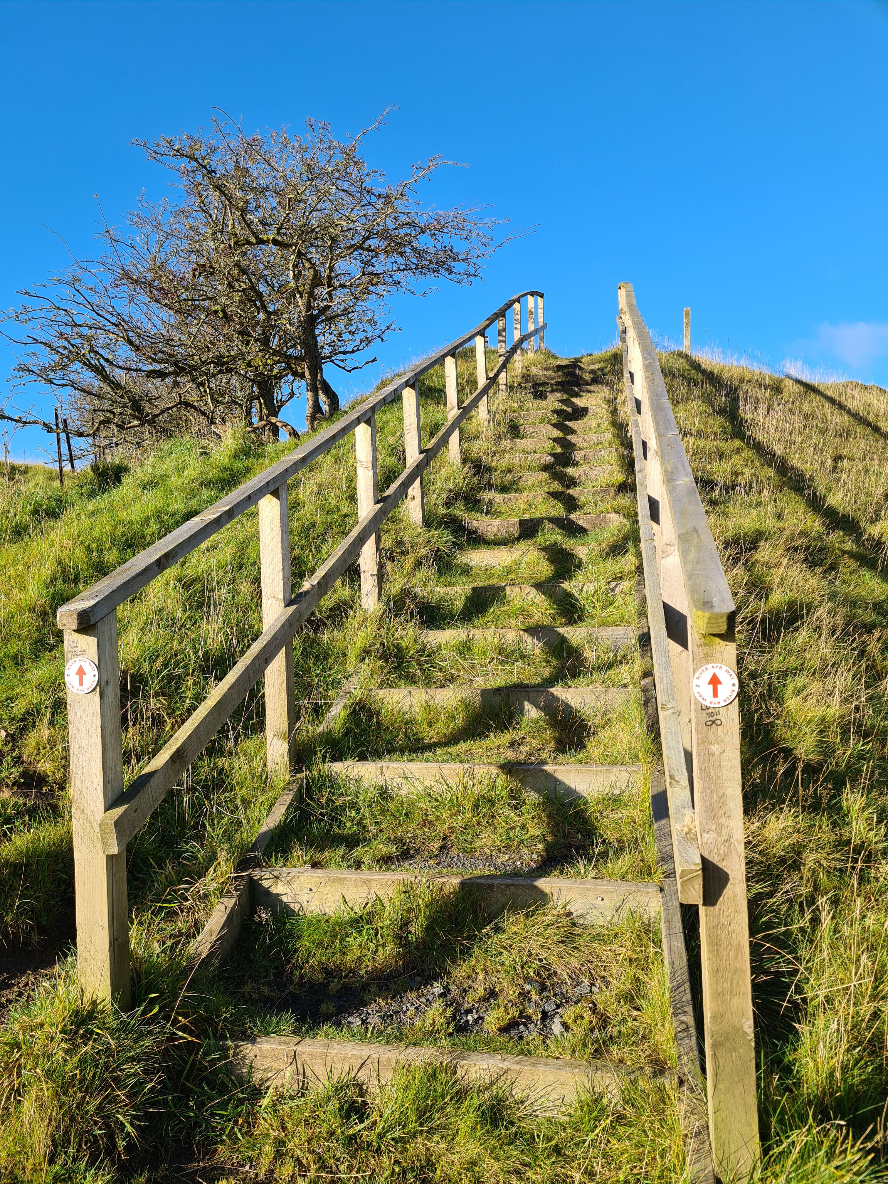
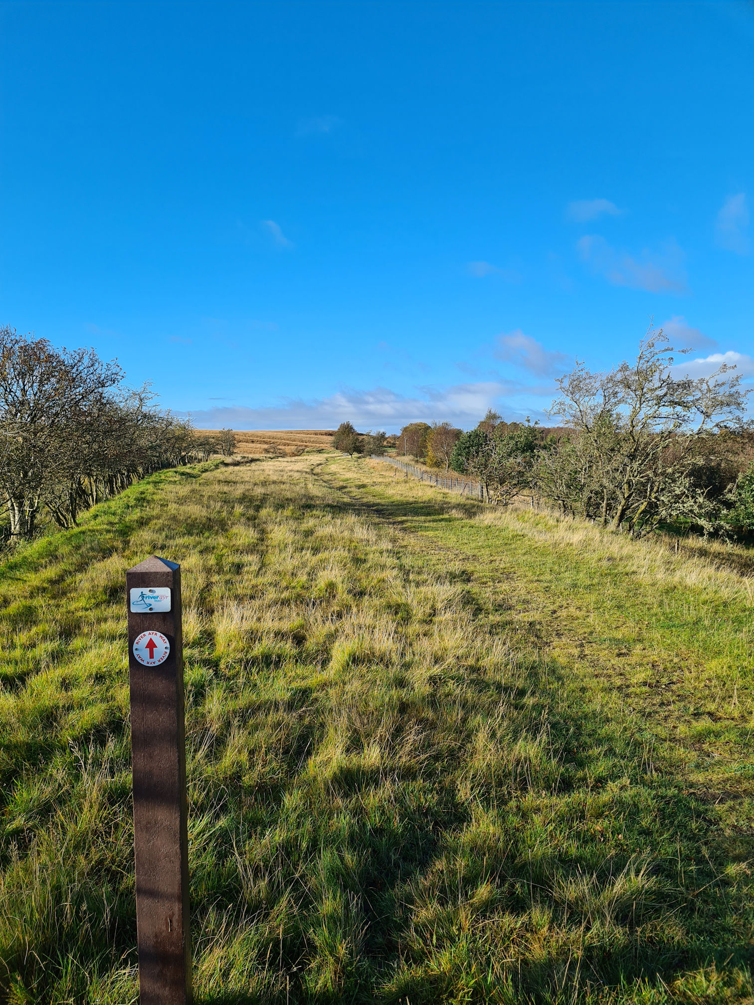
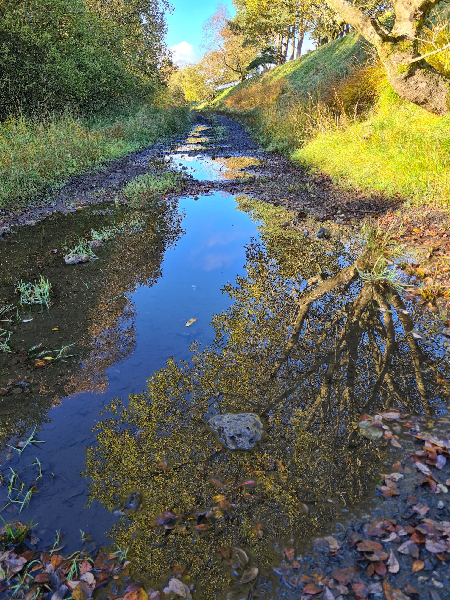
When I reached the top of the steps, a long grassy path stretched out in front of me, another old railway in times past. I strolled along the path, stopping now and then to take a quick photo or video. I always like to try different angles to see what works and what doesn’t.
I really do get distracted when I’m out walking though and stop far too much. As always, I was mesmerised with the puddle reflections that look like a deep void into an upside down world. It made negotiating the wet, boggy bits more interesting in my mind, but not my soggy feet 🤣
As I walked on it was very silent. I couldn’t even hear or see any birds. I wasn’t complaining though, it was blissful!
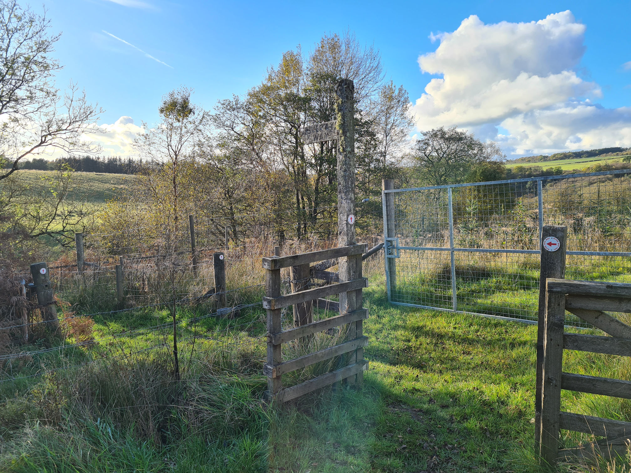
The path eventually came to an end with the River Ayr Way red arrow showing me to turn right. I naturally wanted to go straight ahead and was curious where it would lead me.
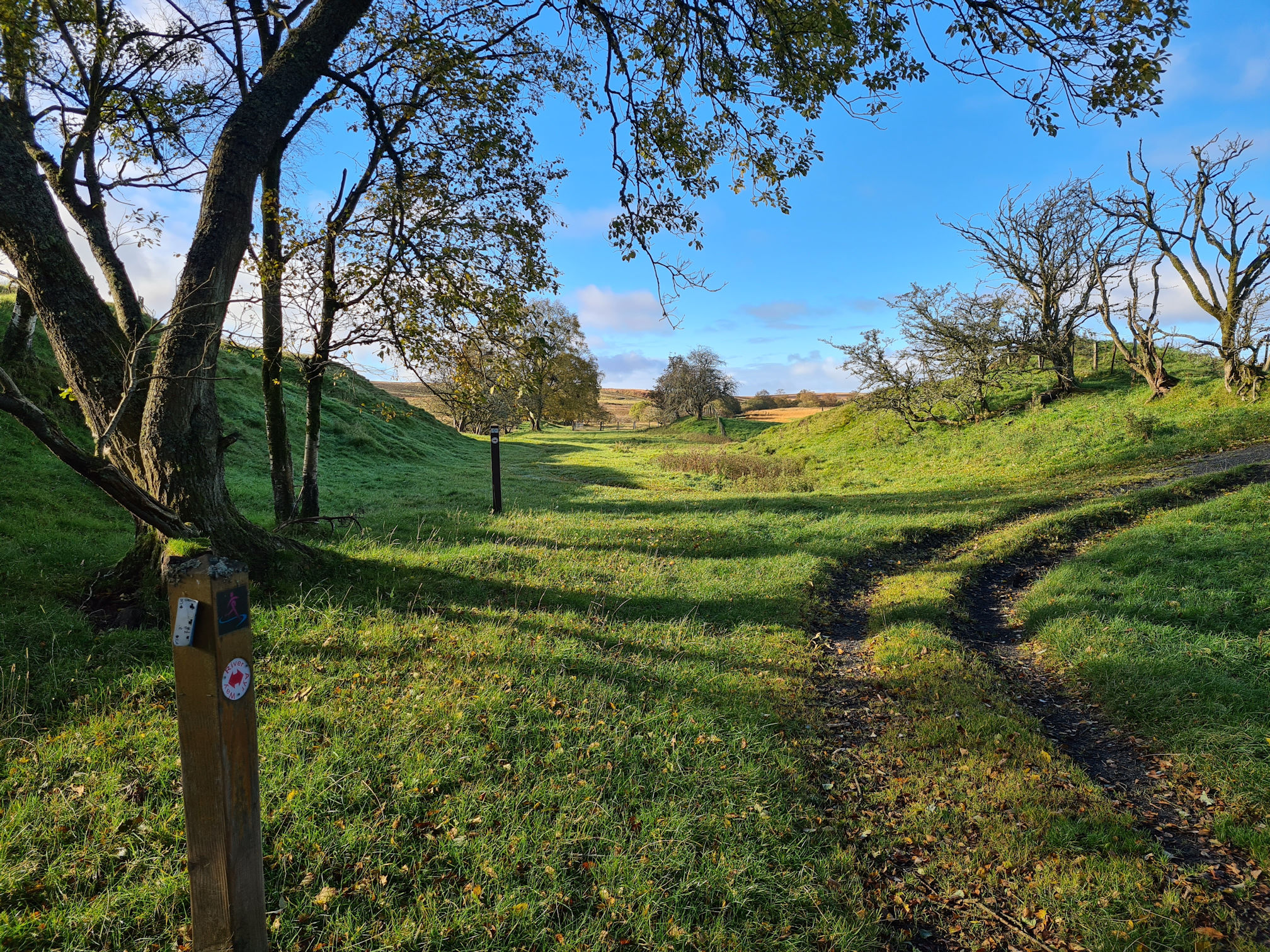
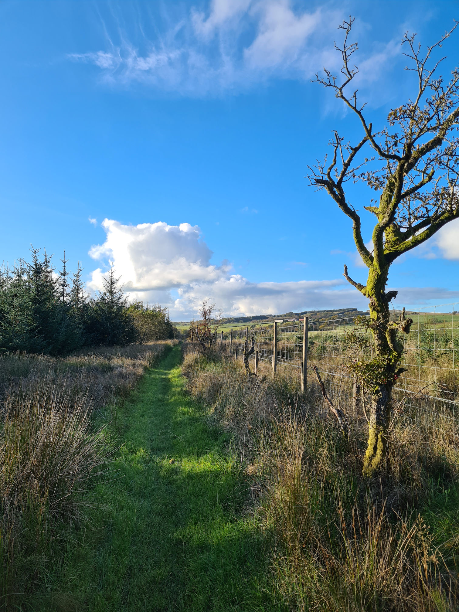
I followed the signs for the River Ayr Way and was loving this peaceful walk along the woodland paths.
William Adam’s Stane, Covenanter’s Grave
I stopped at Adam’s Stane, a Covenanter’s grave beside a small burn that joins the River Ayr.
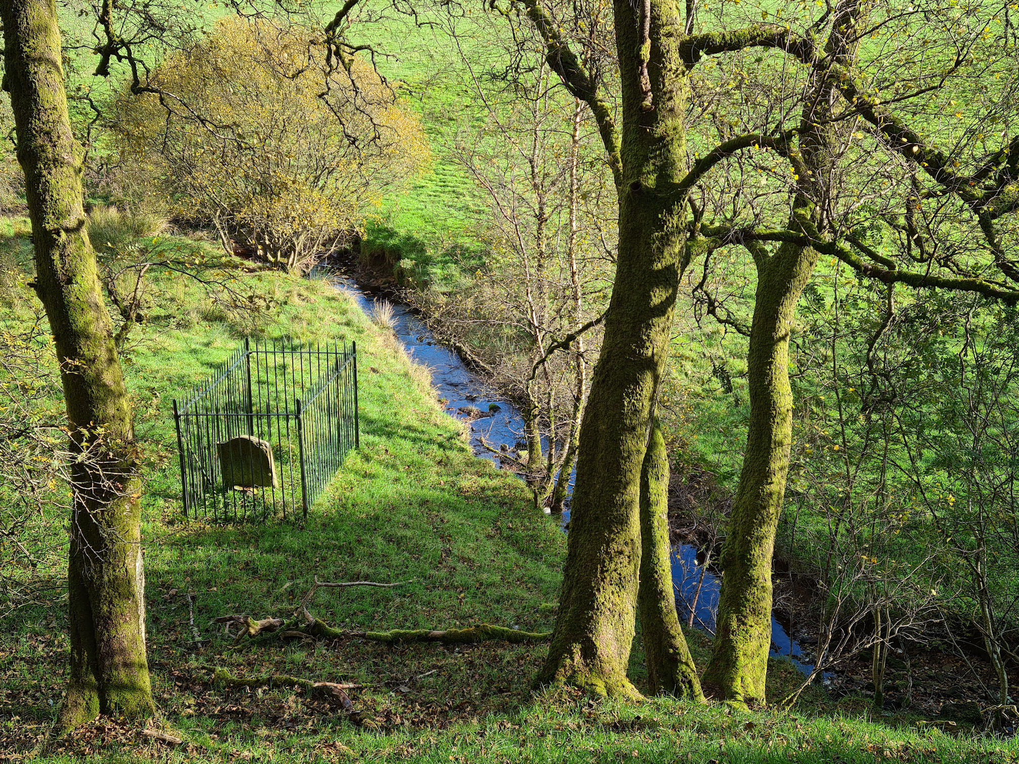
I couldn’t see a way down to read the headstone as it was fenced off. I always wondered about the Covenanters and never took the time to find out exactly who they were. History has never been my strong point as I found it difficult trying to remember places, dates and names. I am now interested in learning more when I’m out walking though.
I found out more about the Covenanters on the Scottish Covenanter Memorials Association website and who they were:
The Covenanters were those people in Scotland who signed the National Covenant in 1638. They signed this Covenant to confirm their opposition to the interference by the Stuart kings in the affairs of the Presbyterian Church of Scotland.
Source: Scottish Covenanter Memorials Association
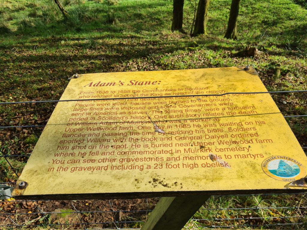
The information board beside the path reads:
From 1638 to 1688 the Covenanters in Scotland who refused to accept the King as head of the church faced persecution and death at the hands of the King’s soldiers. People were killed, houses were burned to the ground, large fines were imposed and some Covenanters were sent to America as slaves. The ‘killing times’ were a turbulent period in Scotland’s history.
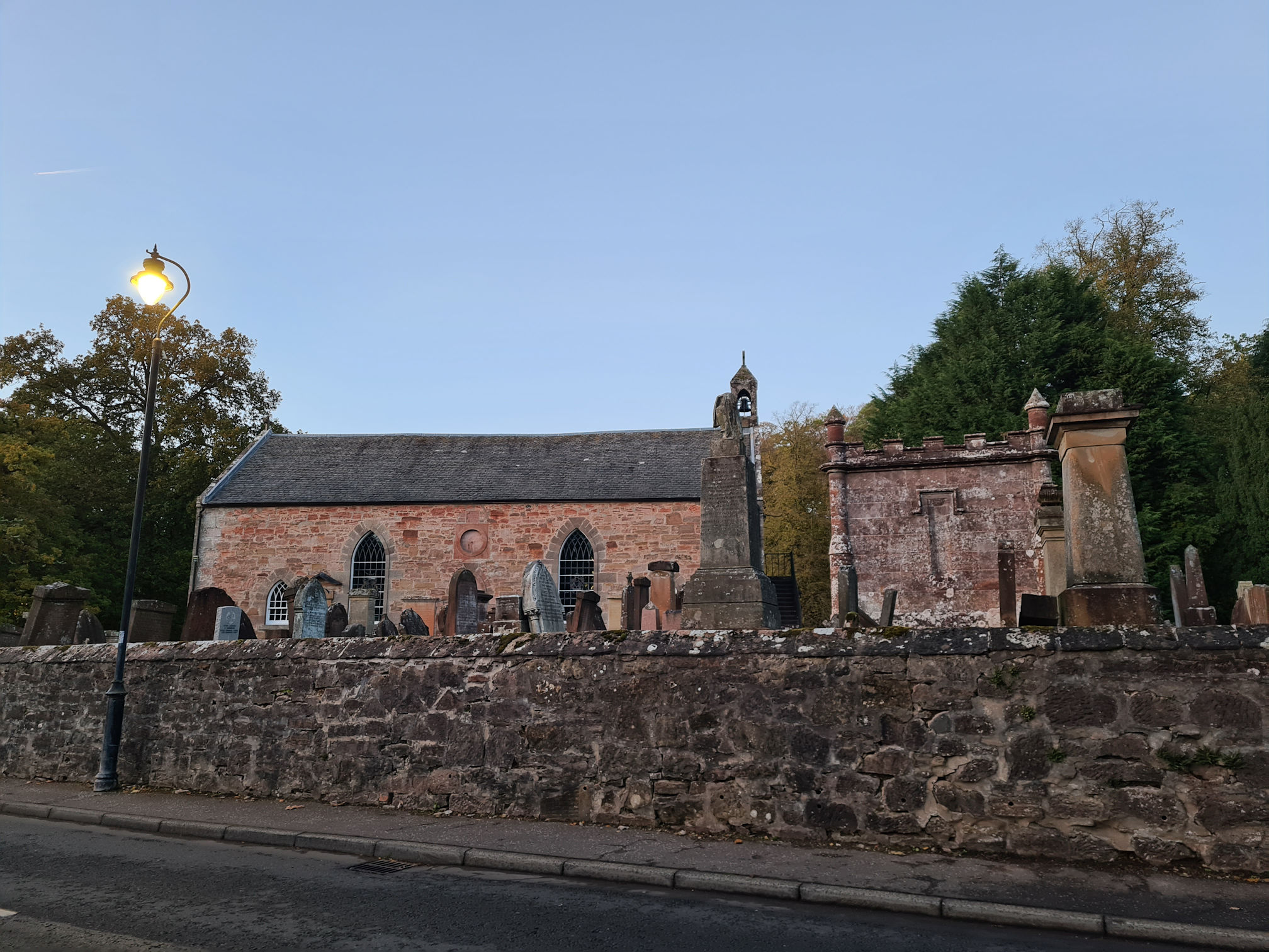
One such story relates to the death of William Adam of Muirkirk who was a worker at Upper Wellwood farm. One day in 1685 he was waiting on his fiancée and passing the time by reading his bible. Soldiers spotted William with the book and General Dalyell ordered him shot on the spot. He is buried near Upper Wellwood farm where he fell and commemorated in Muirkirk cemetery.
You can see other gravestones and memorials to martyrs in the graveyard, including a 23 foot obelisk.
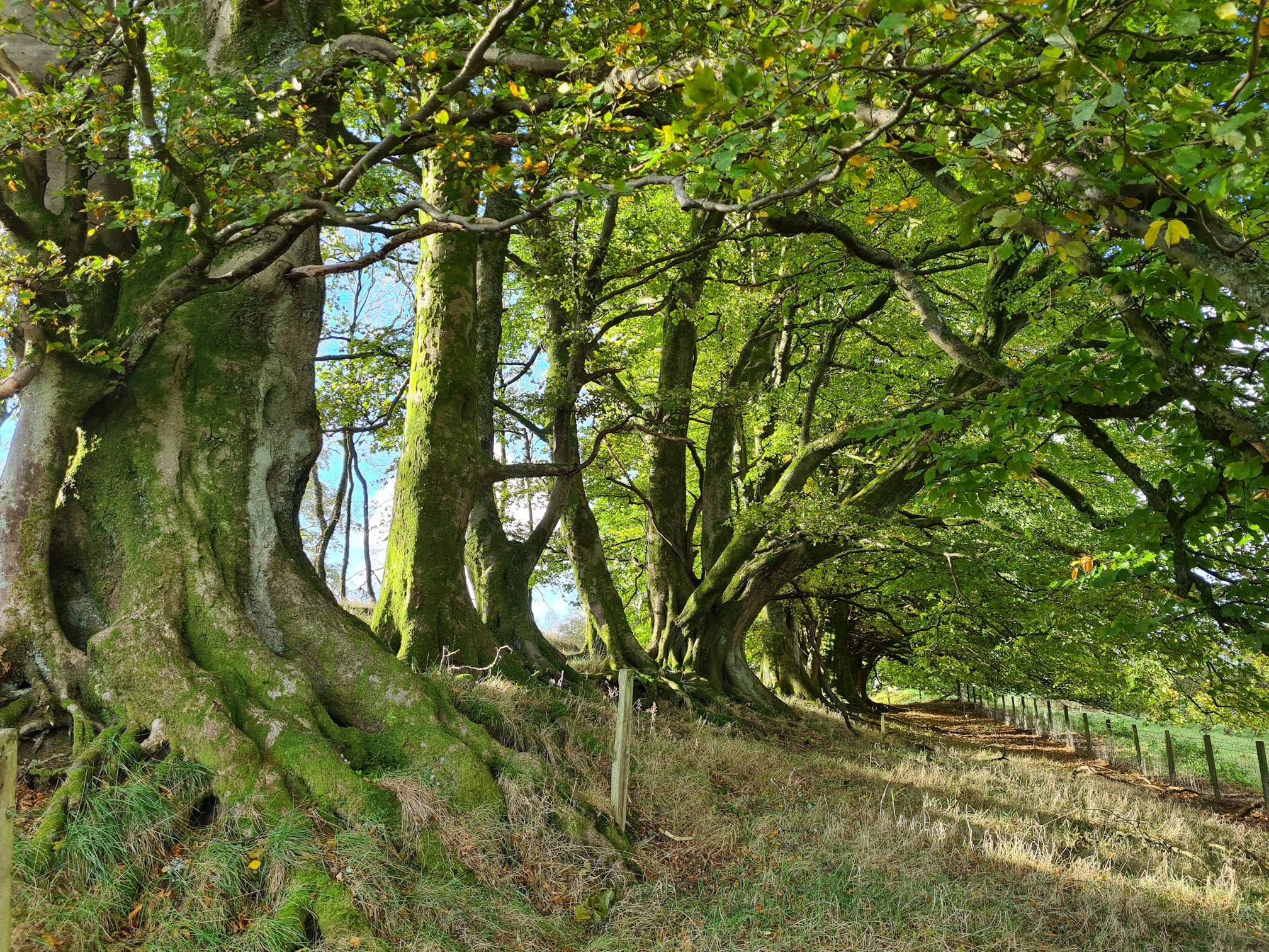
What a scary time to live in Scotland! As I walked on thinking about this unnecessary and sad ending to life, one of many across Ayrshire and beyond, I spotted a nice distraction just off the path on the left.
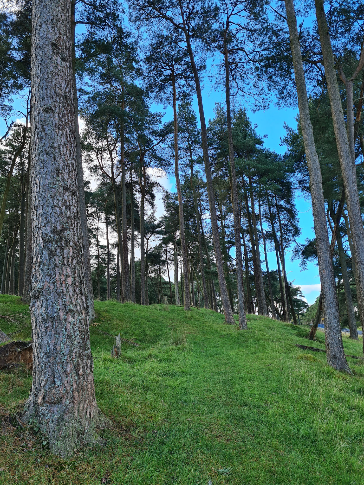
My favourite trees, the Beeches! They look like ancient giant warriors of the tree world, creating an impressive avenue with their strong trunks, arm-like branches and roots.
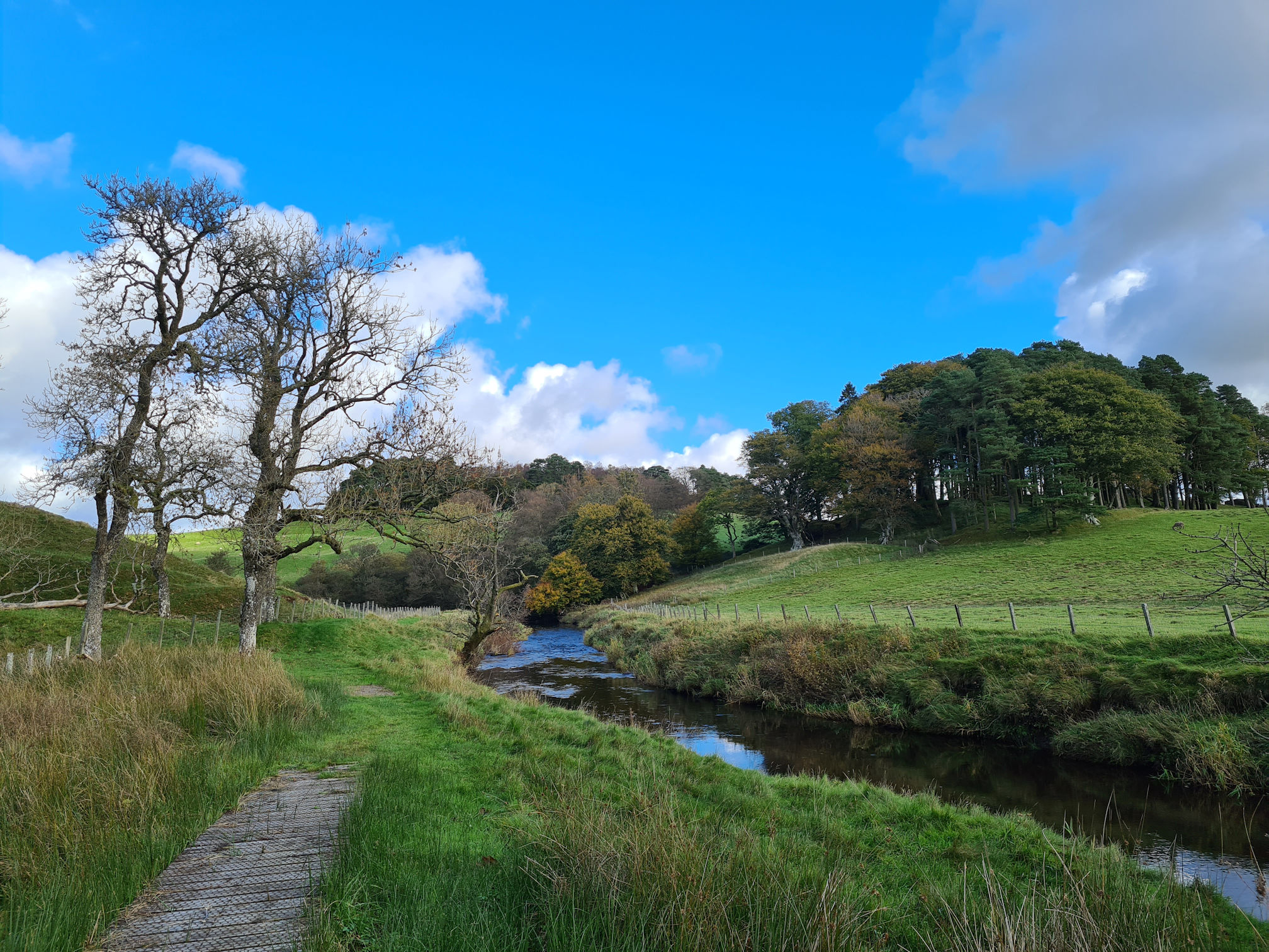
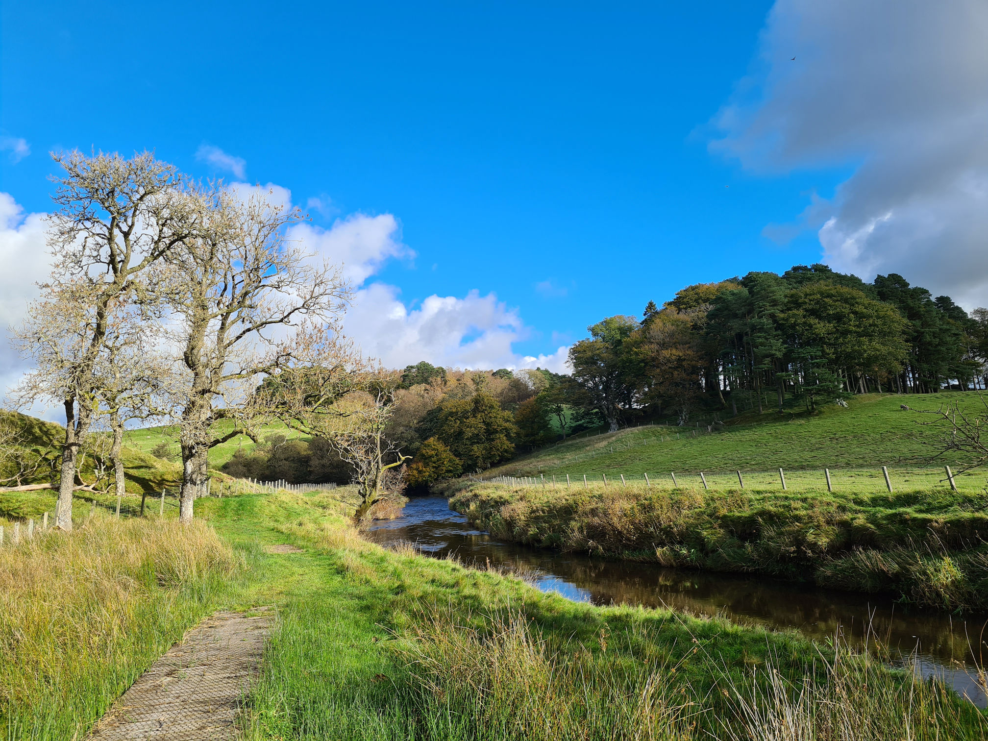
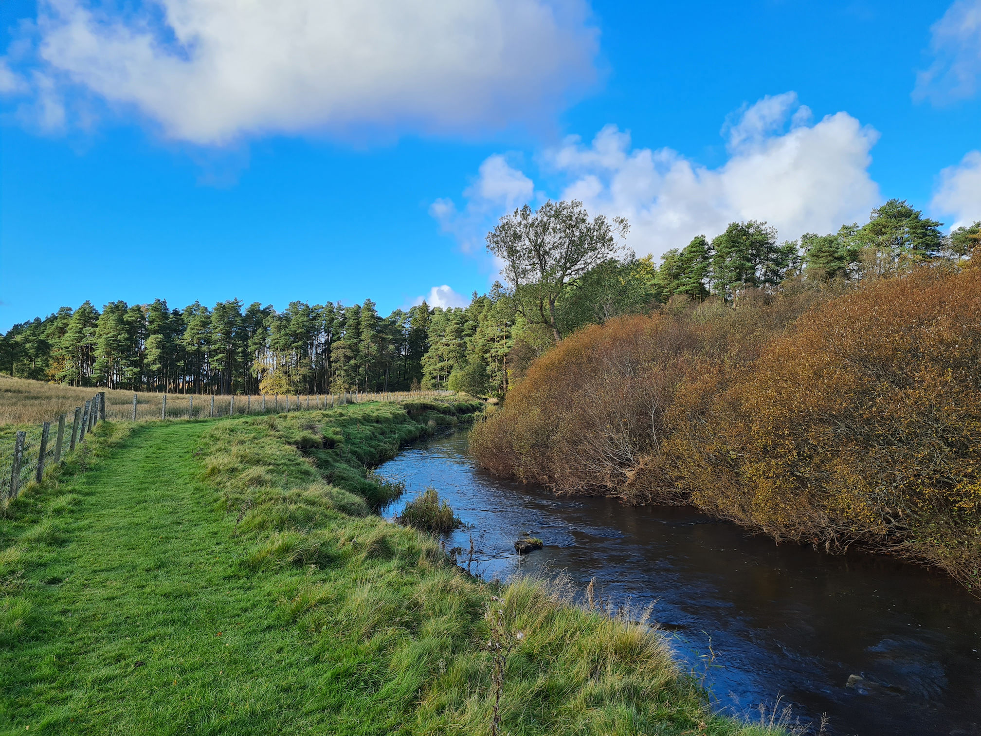
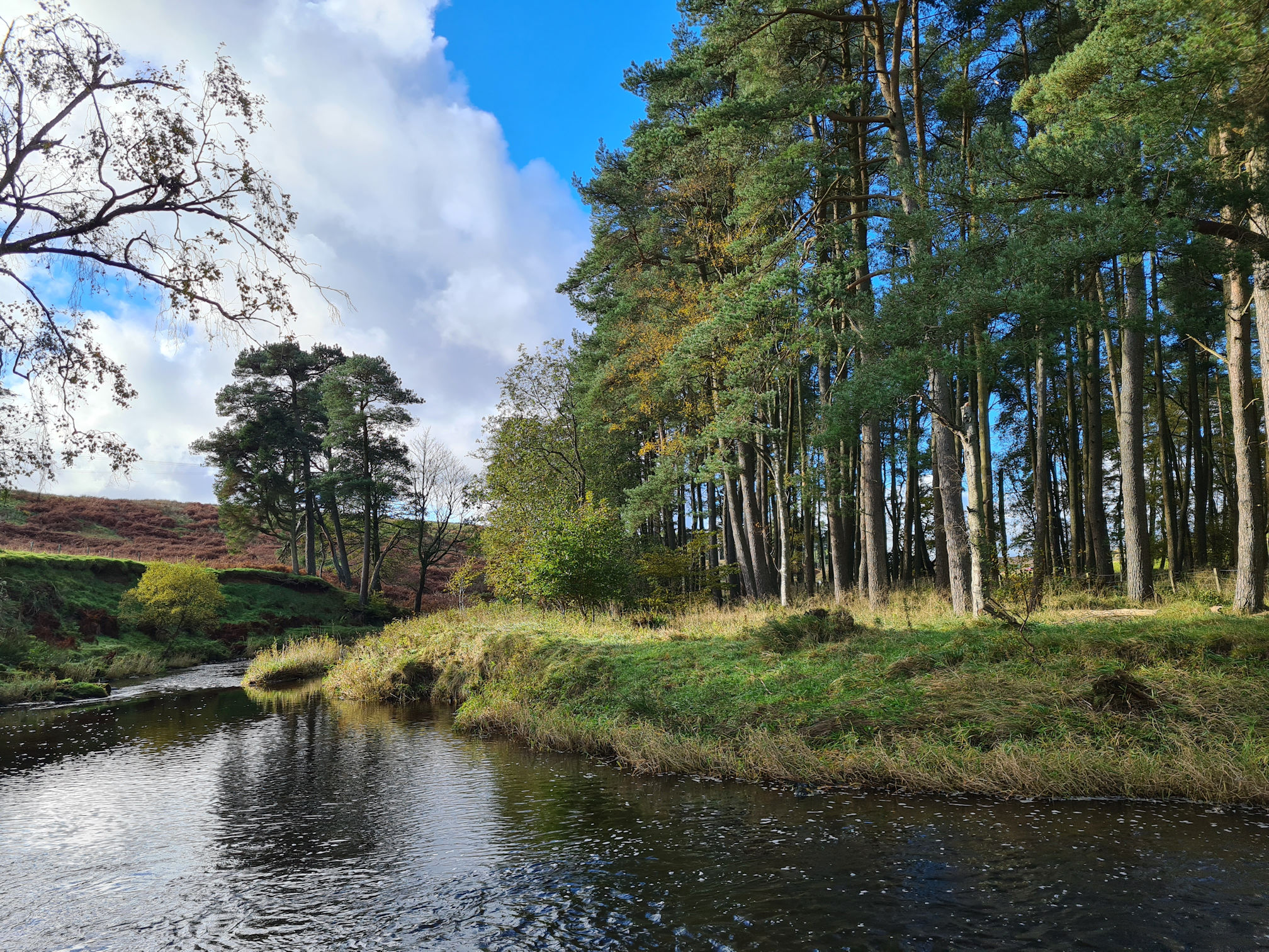
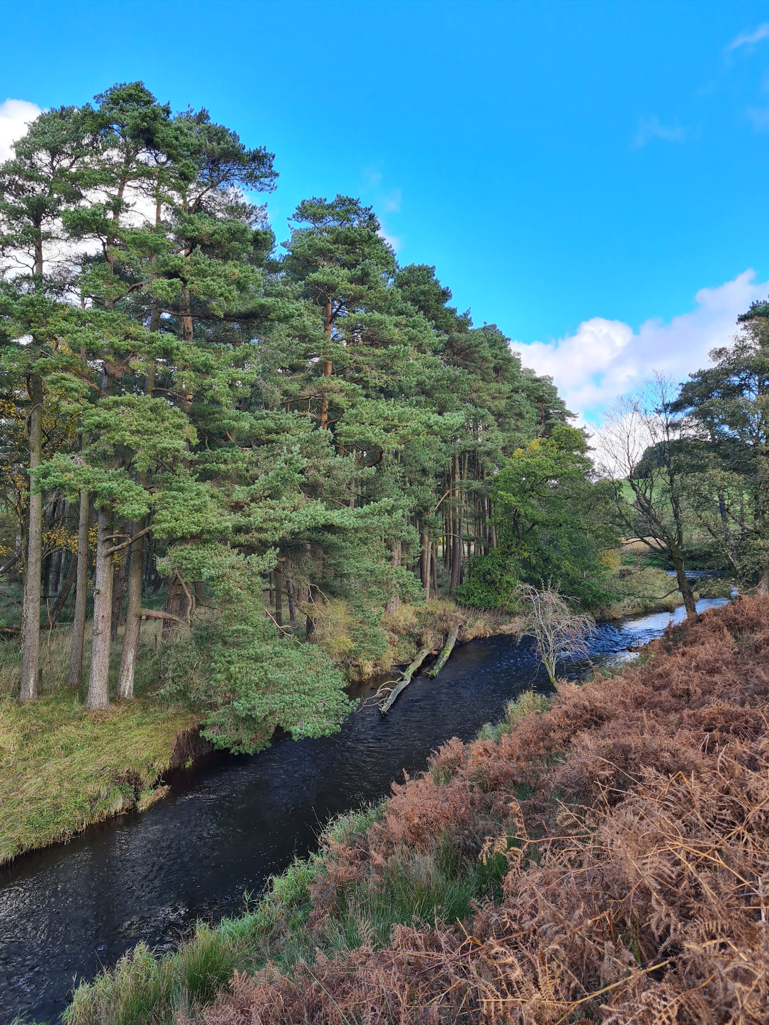
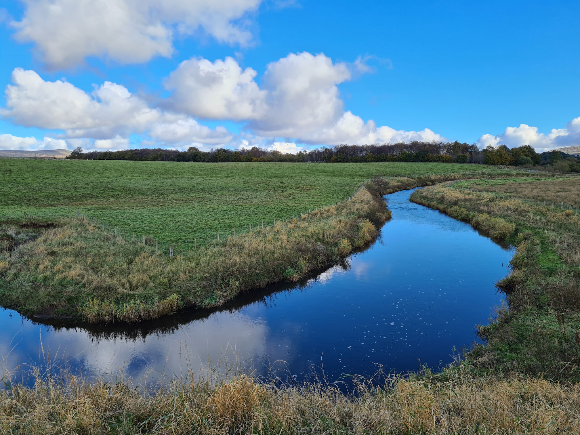
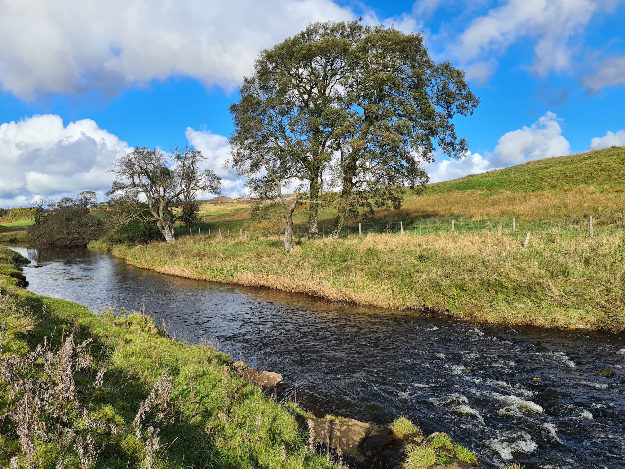
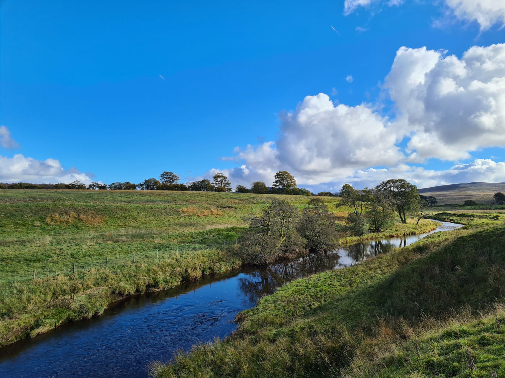
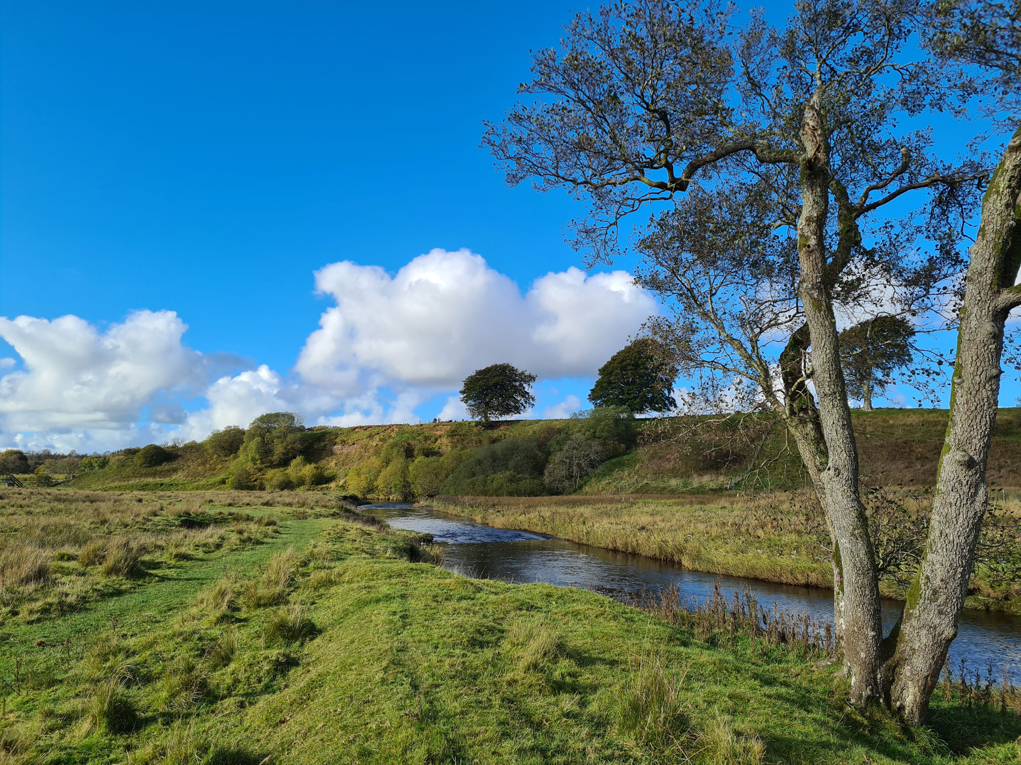
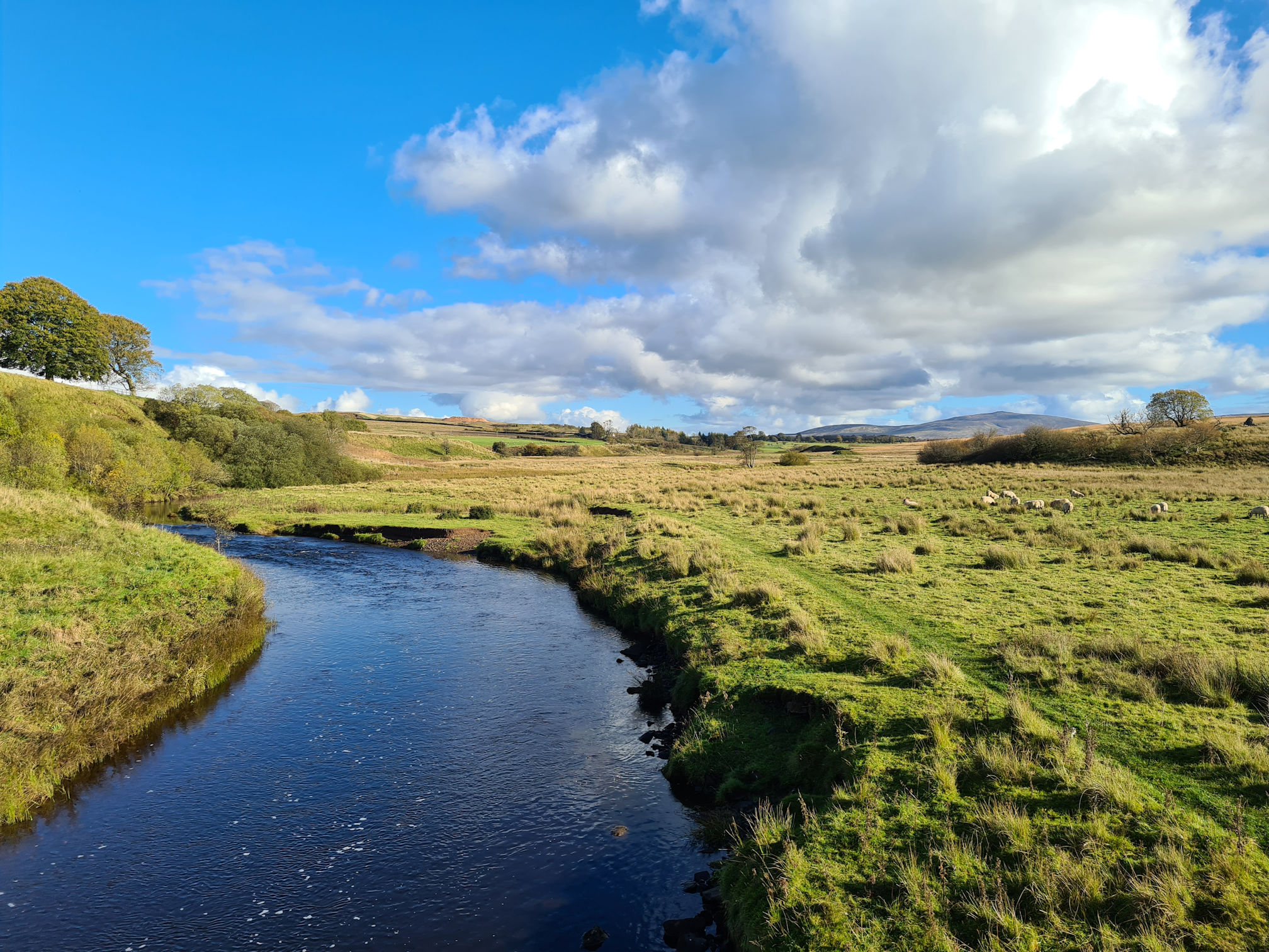
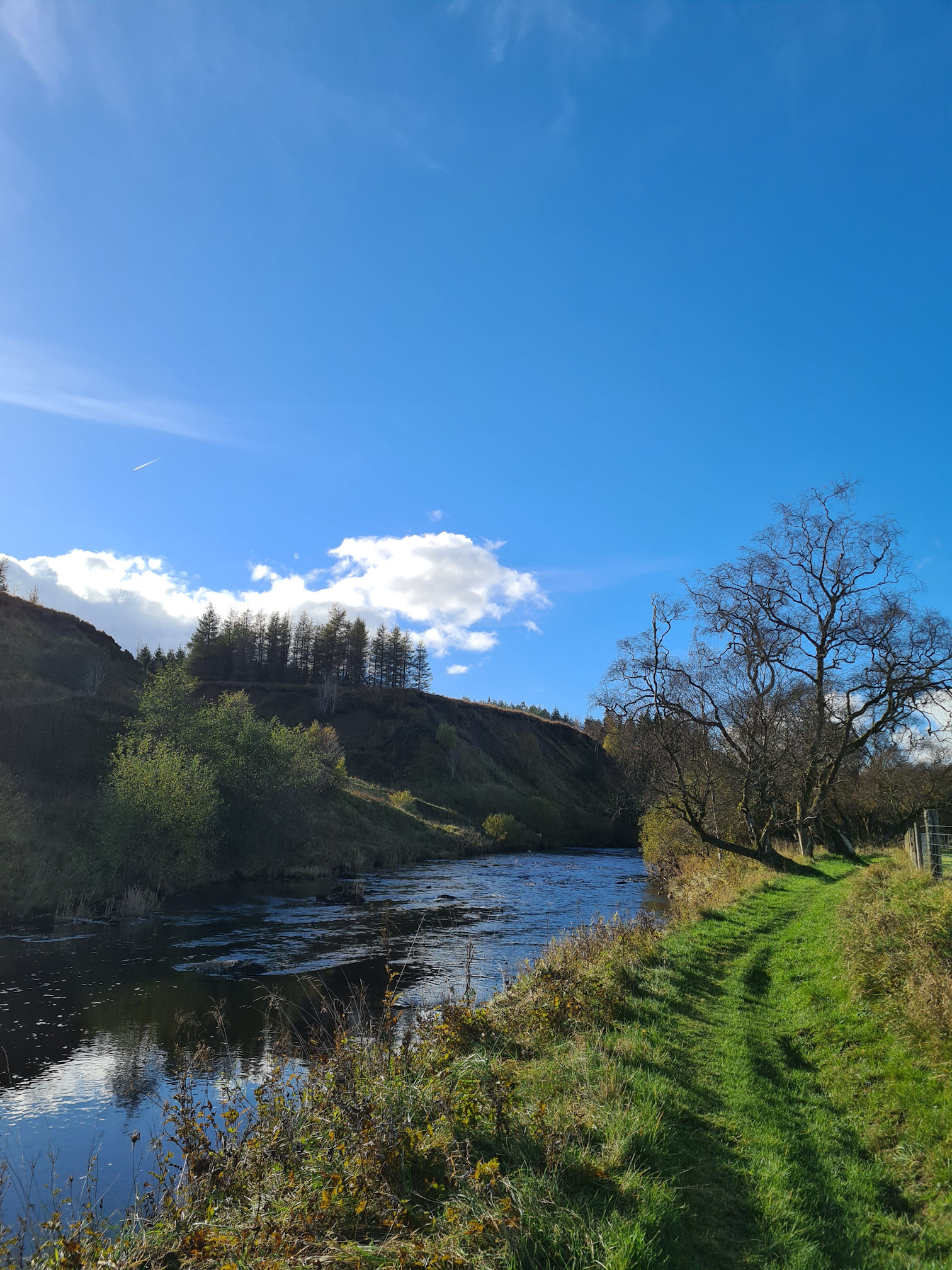
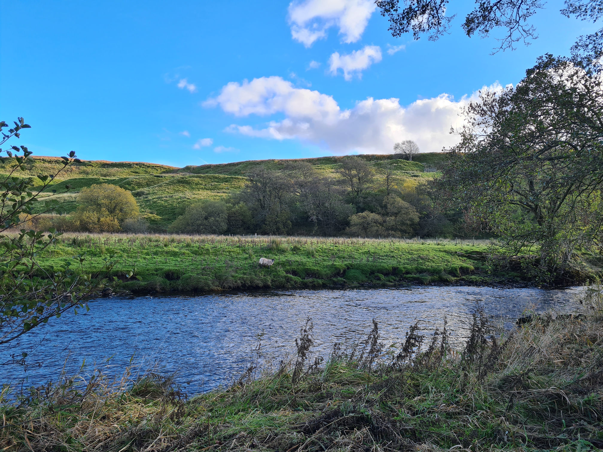
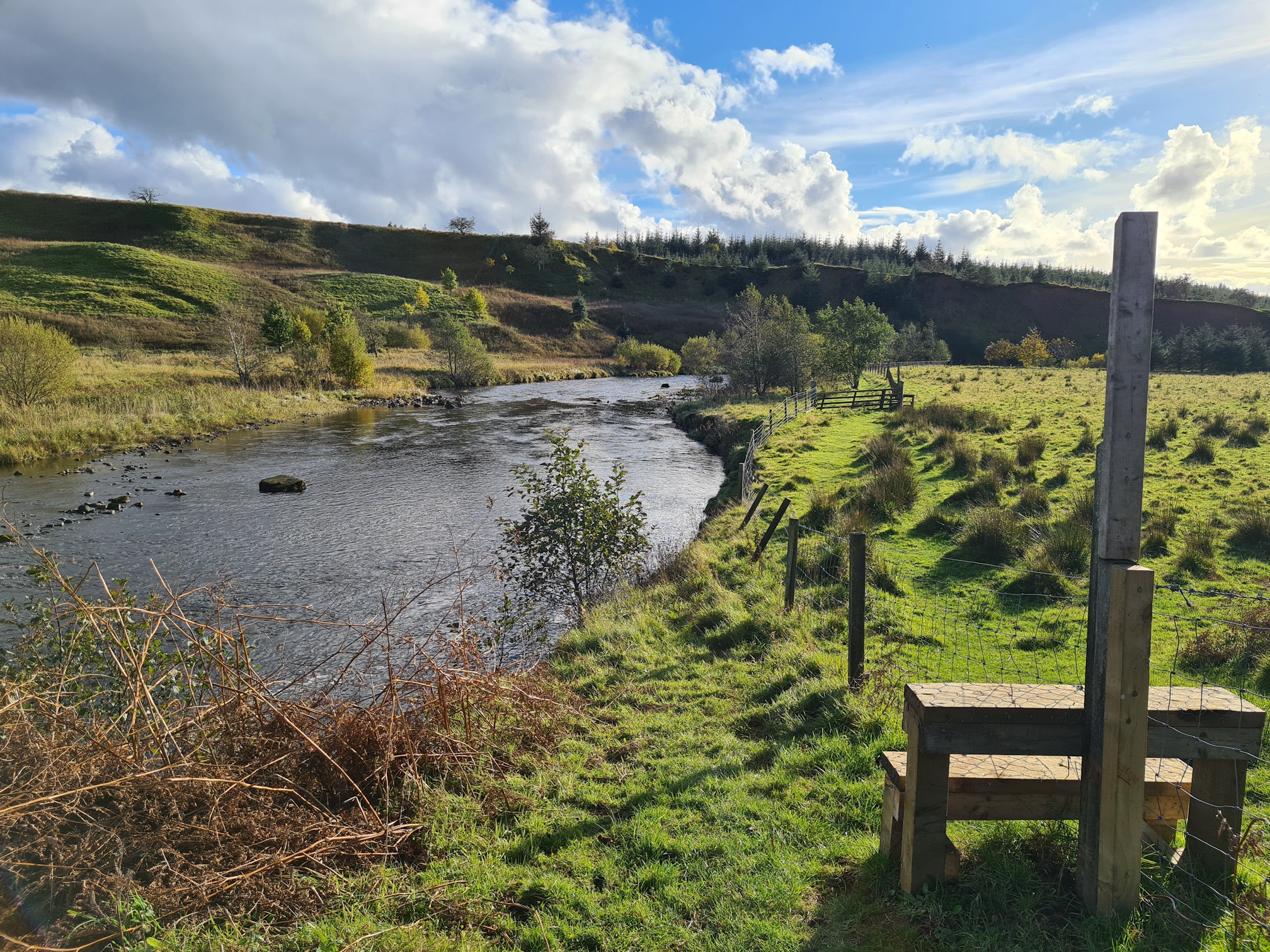
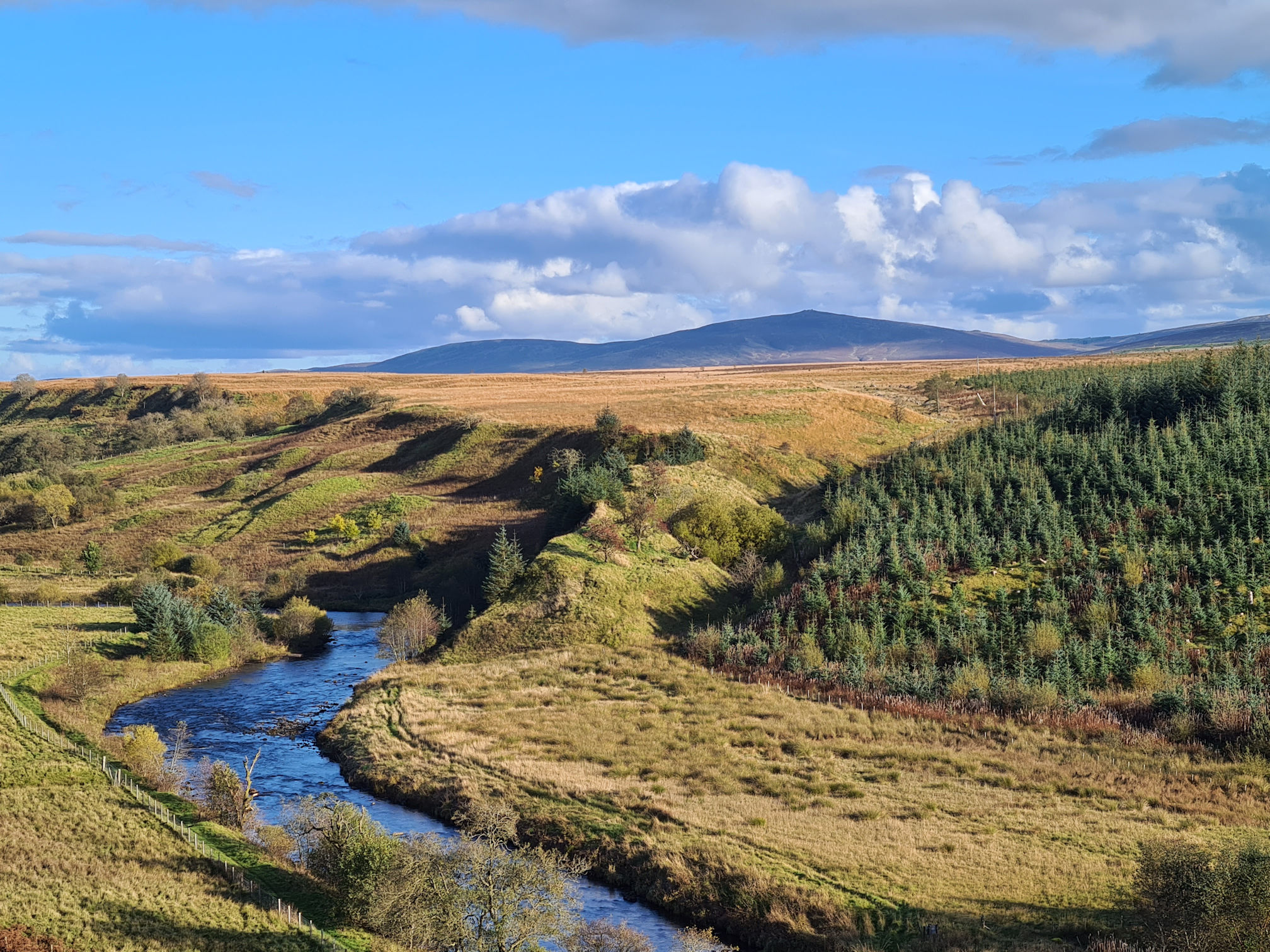
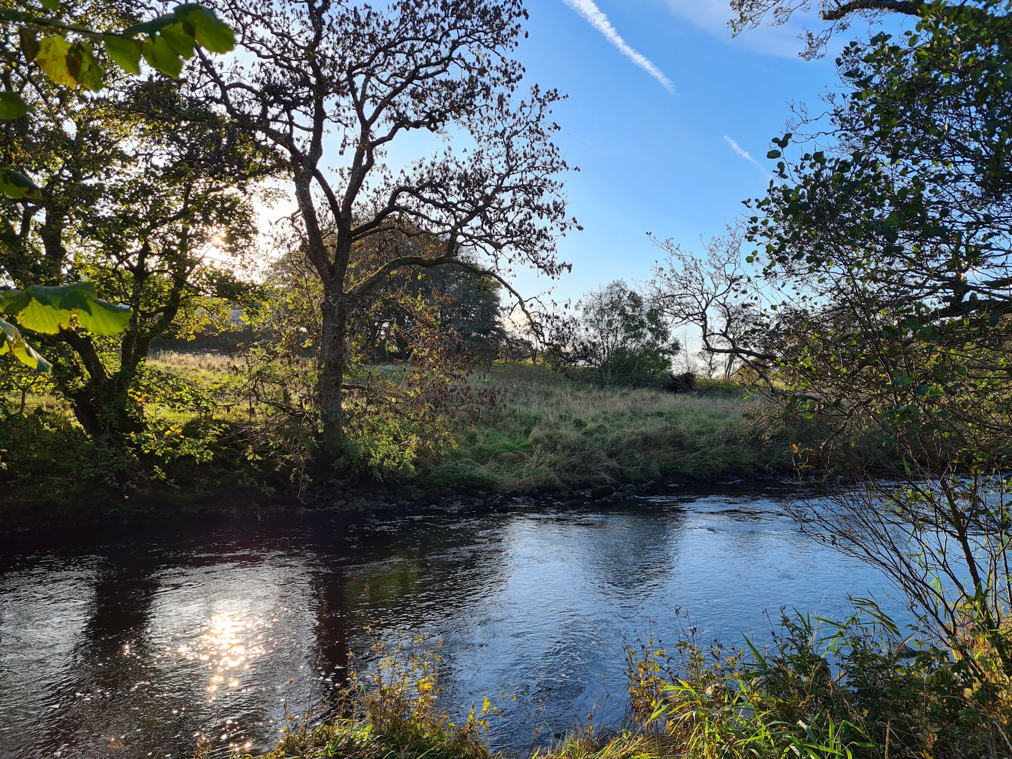
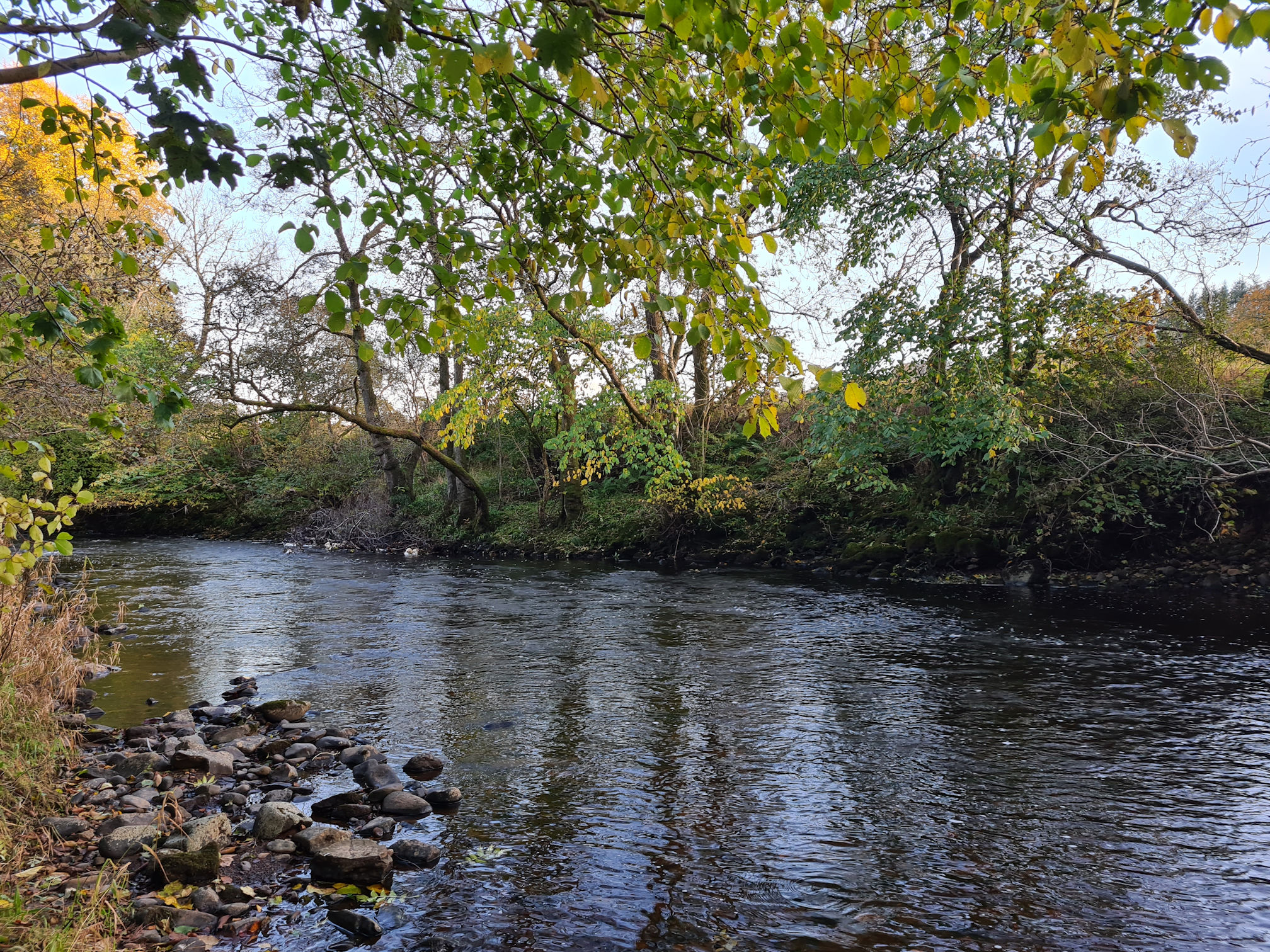
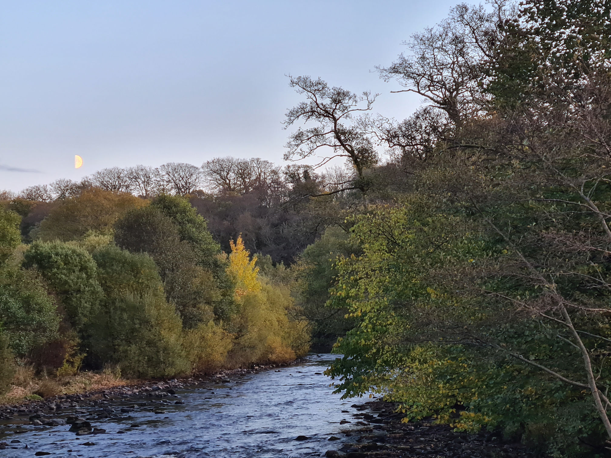
River Ayr
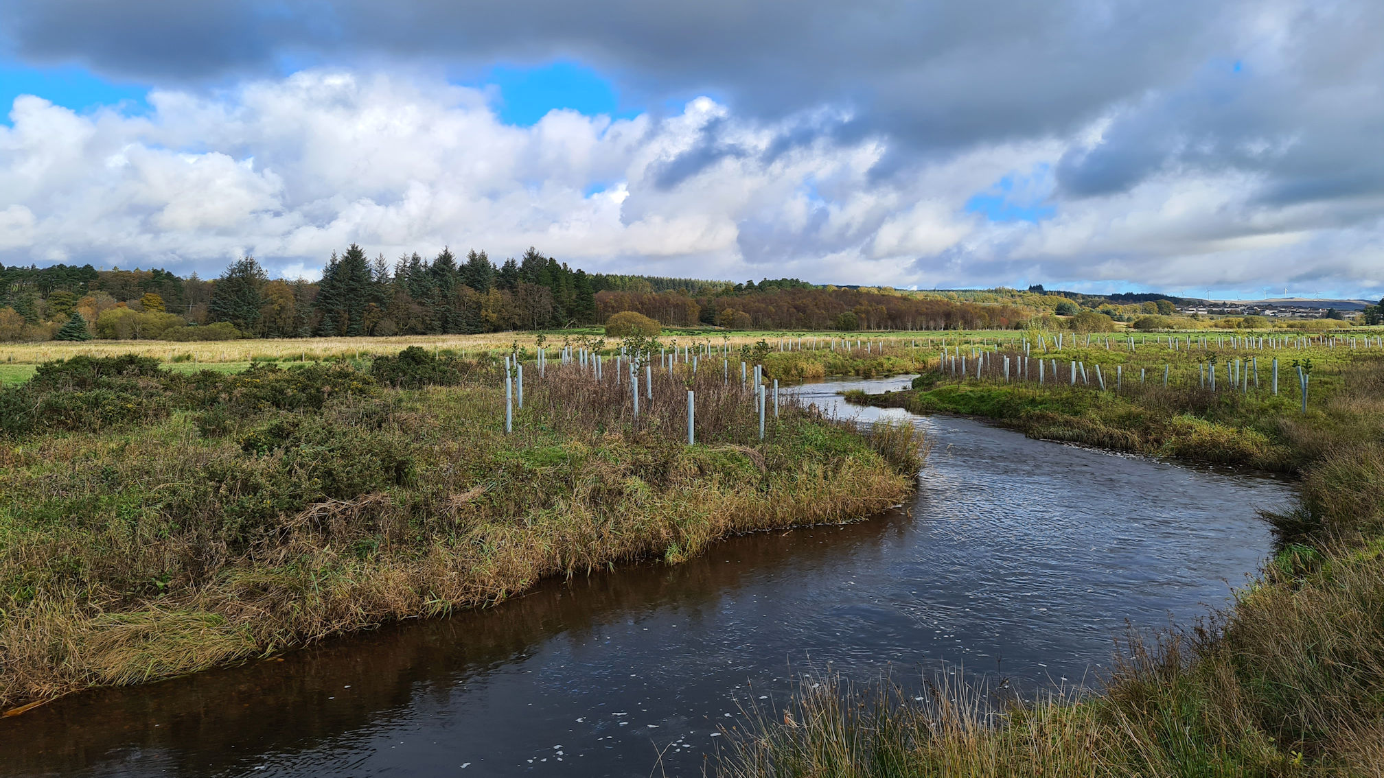
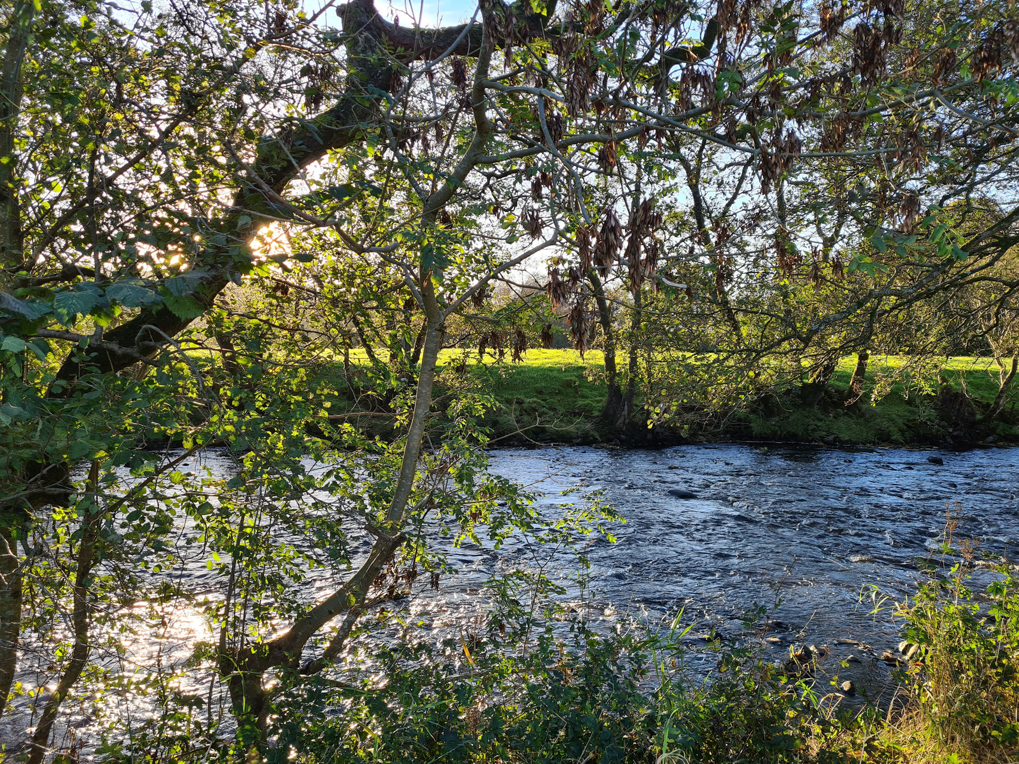
At last I met the River Ayr which was now wider in flow, and I enjoyed listening to the sound of the water again. The river can flow slowly in places where the water is deep, then suddenly there’s water rushing over rocks in the shallower parts.
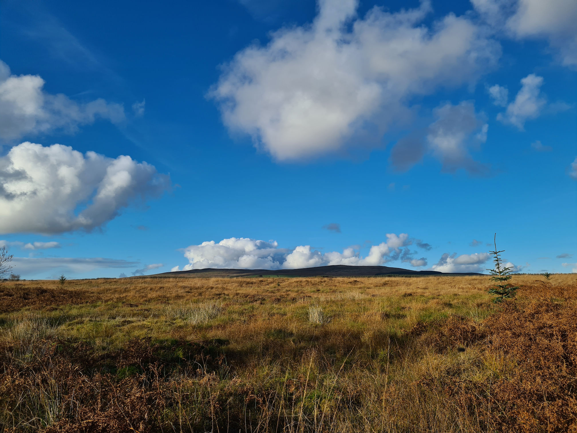
As I looked back I could see the peak of Cairn Table at Kames where I started. I can’t wait to climb it this year and see the views across Ayrshire.
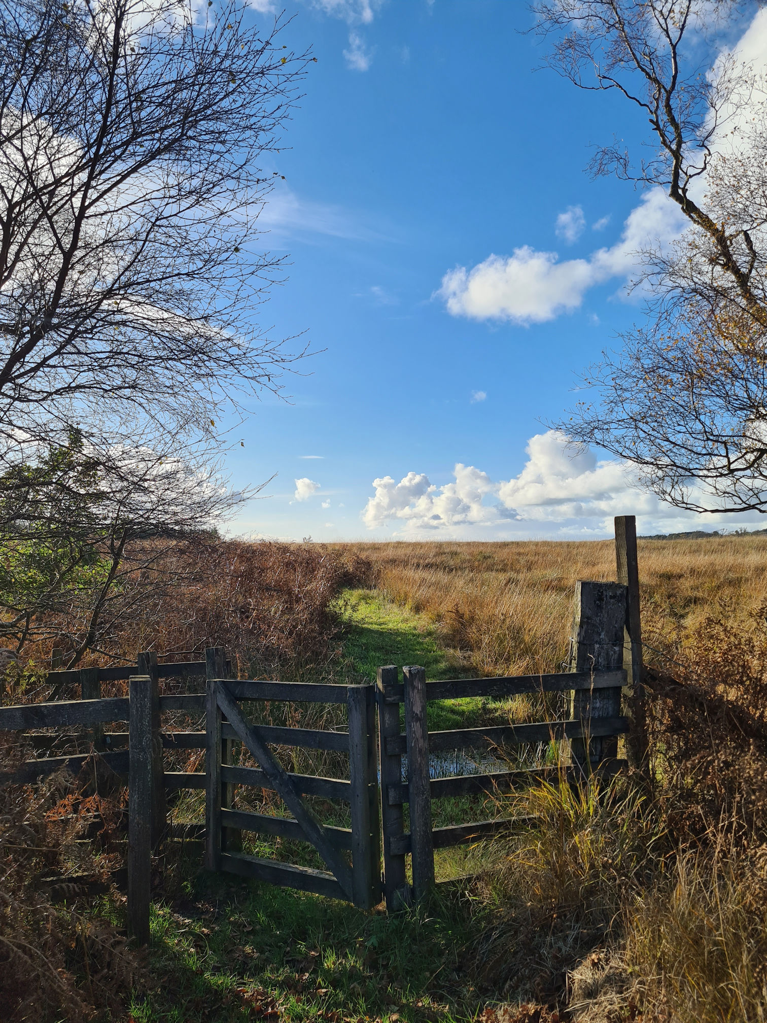
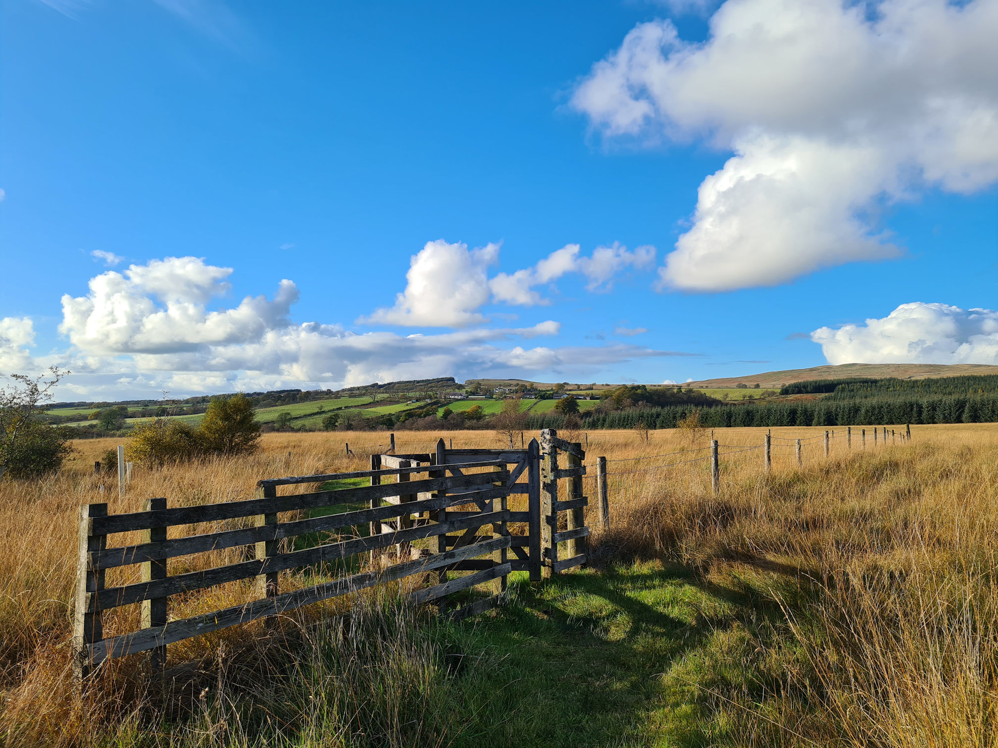
I giggled when I came across this gate in the middle of the grassy path. I did go through it just because it was there…
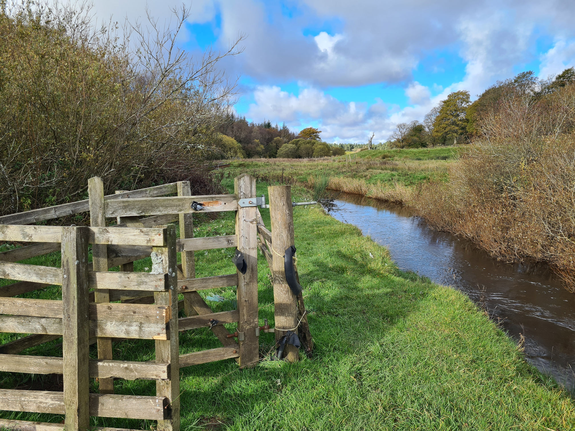
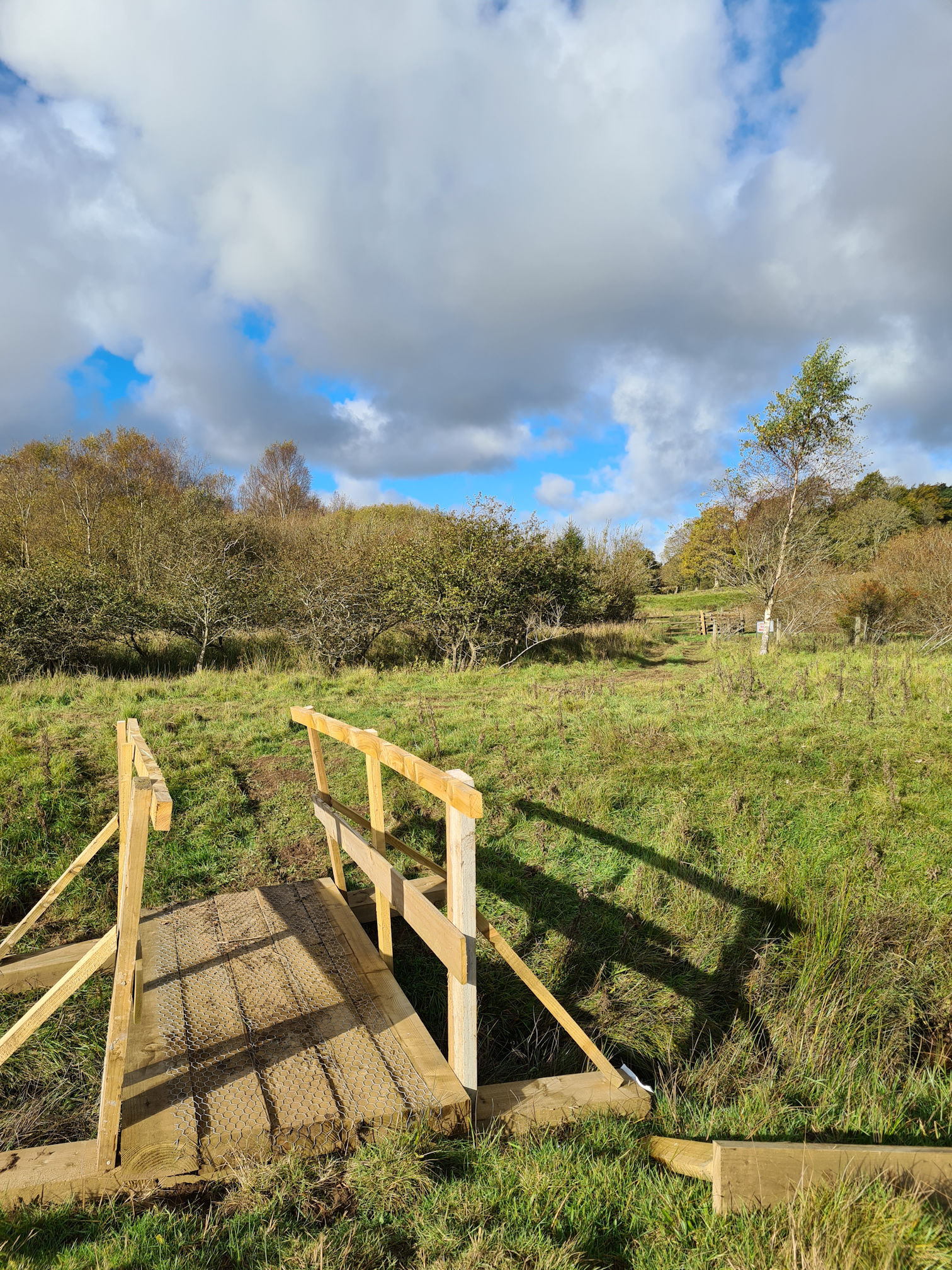
To be fair though, there was improvement works happening here which is always good to see.
In the photo below I could hear faraway voices, but I couldn’t see anyone along the path. Then I noticed people walking with Alpacas in between the two trees in the distance. What a lovely day and place for Alpaca Trekking!
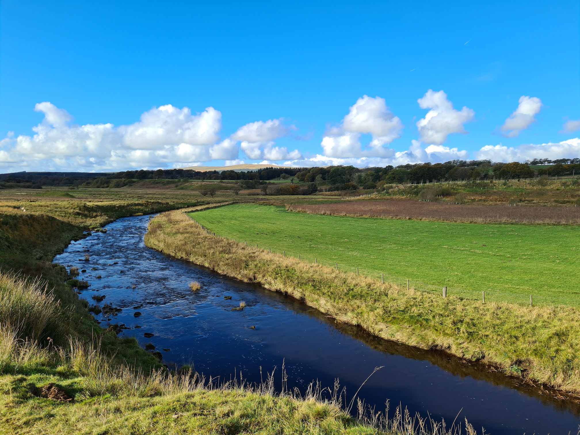
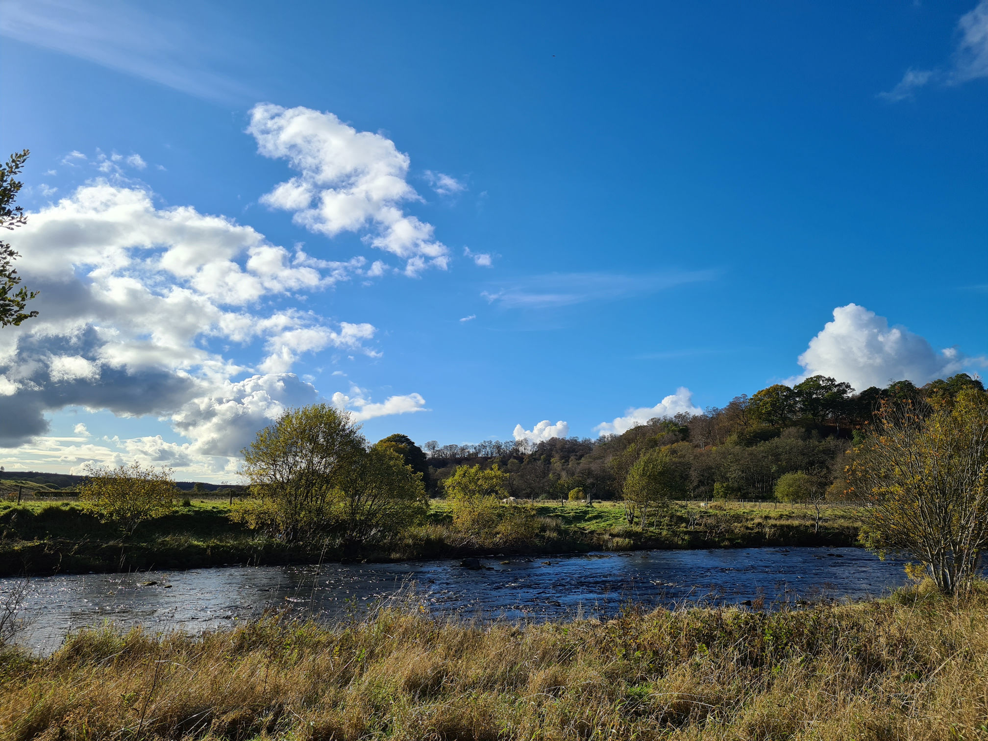
The scenery following the River Ayr was ever-changing with the clouds beautifully painting the sky, creating an even more stunning picture! I love watching the floating clouds change shape and colour. I remember when I was a child that I would race the clouds with an old school friend.
Talking about changing colours, the dark cloud looming above me was looking menacing and hid the sun for a while. I stopped at another lovely view, but my photos looked dull… Ten minutes later, the sun popped out from behind the dark cloud and it felt like a light had been switched back on.
These two photos are almost identical and show the difference in light. I’m not sure which one I prefer to be honest. Dull or bright?
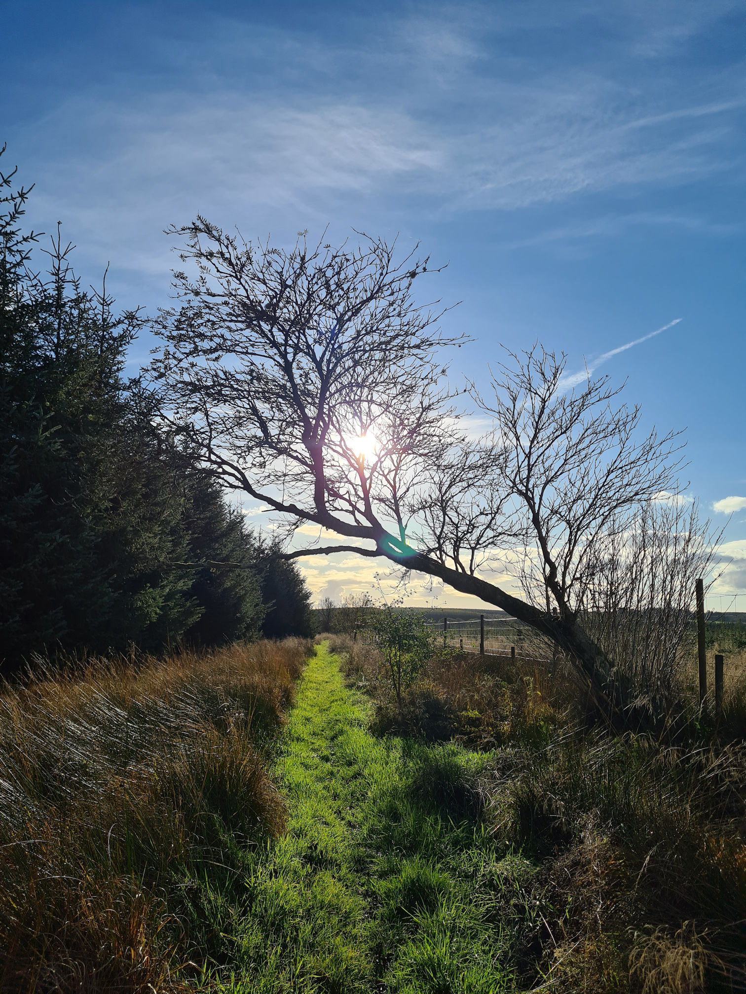
I looked behind me and snapped a photo into the glaring sunlight, which is not best practice for photography. This wee tree was posing right in front of me and wanted its photograph taken, so I couldn’t say no.
Yet again I was snapping away with my phone as it’s so pretty here! I love the contrast of colours in autumn, and the performing sky today made the show amazingly stunning!
As I dilly-dallied along the grassy path beside the river, I eventually reached a gate which took me away from the river.
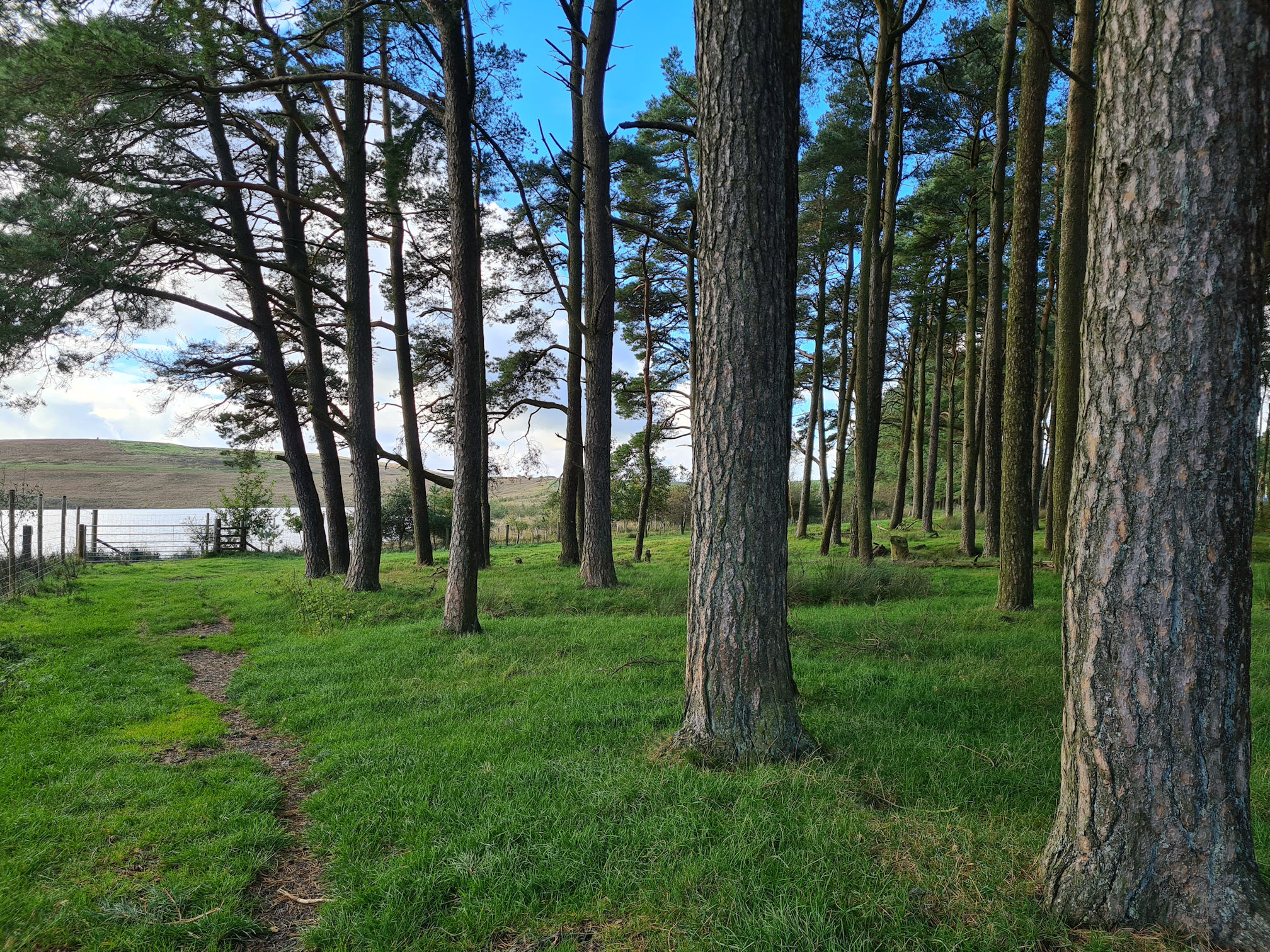
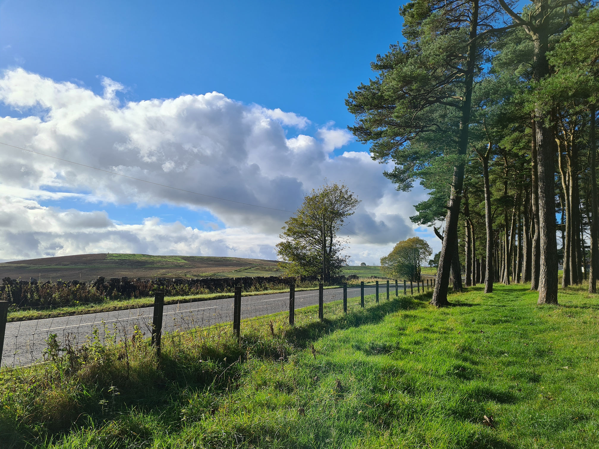
I was now walking through a small cluster of giant trees beside the main road (A70 Muirkirk Road).
I could see water shimmering in the sunlight ahead which looked like a pretty loch, but the area was fenced off. I found out later that this was once the barren landscape of the Powharnal Opencast Coal Mine.
Over the years the land has been recontoured, soil placed and grass seeded. This is one of many old opencast mines in East Ayrshire and it’s wonderful to see the land being returned back to nature. There’s drone footage videos of the restoration works which I’ll link at the end.
As I reached the road, I thought this was where Alan would be waiting. Alas, no car, so I knew I had a bit further to walk! If I had studied a map in advance I would have known this.
I was fine though and had lots of energy and excitement to keep me going. As I write this I can’t believe the places of interest I had passed already, and I may have missed a few!
It would be a good stopping point here though if I had started the beginning of the walk at Glenbuck today. This is useful to know when I walk it again with my friend, hopefully this year (2024).
I safely crossed the road to the other side, turned left and followed grassy path through another small cluster of trees.
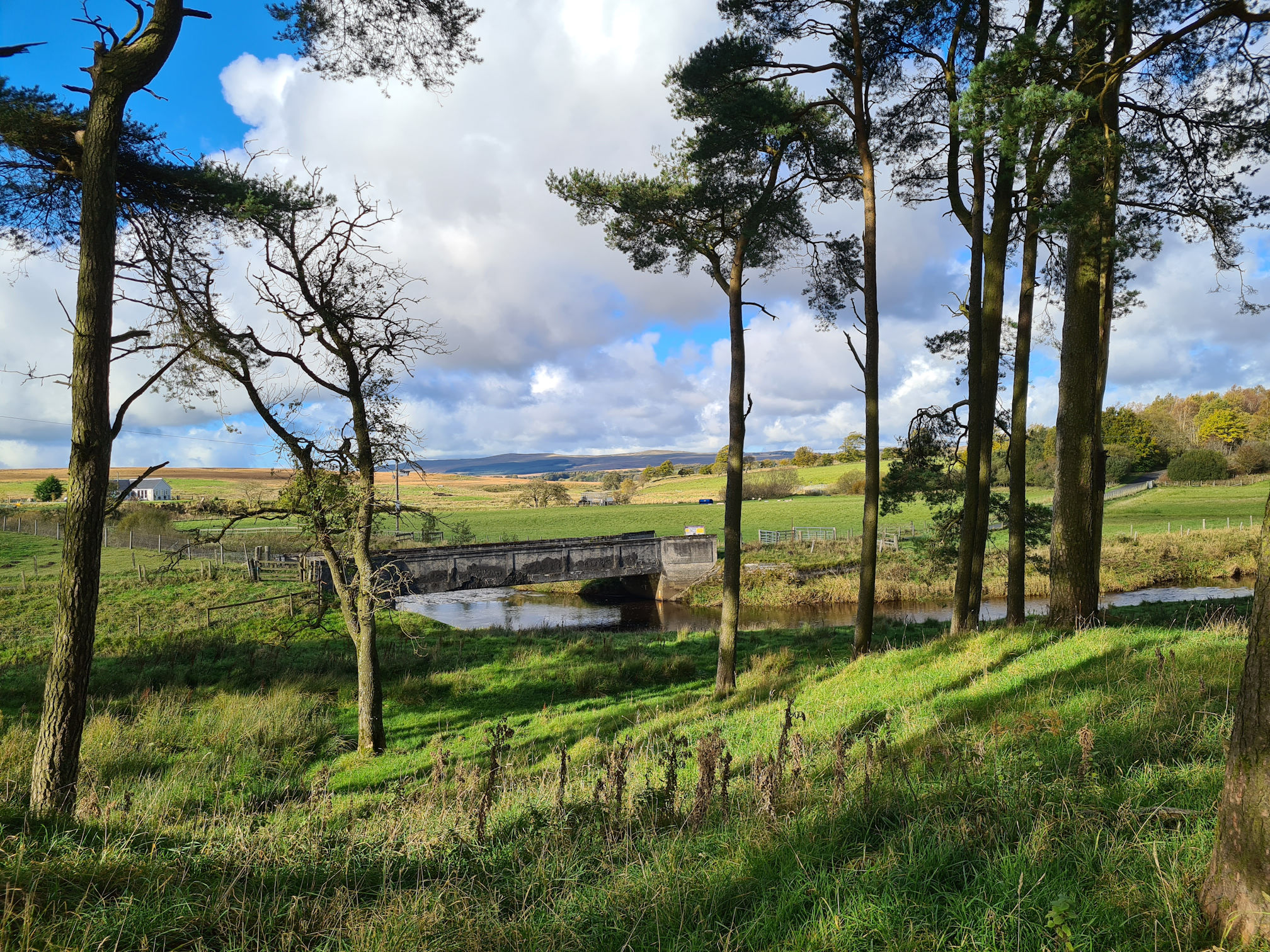
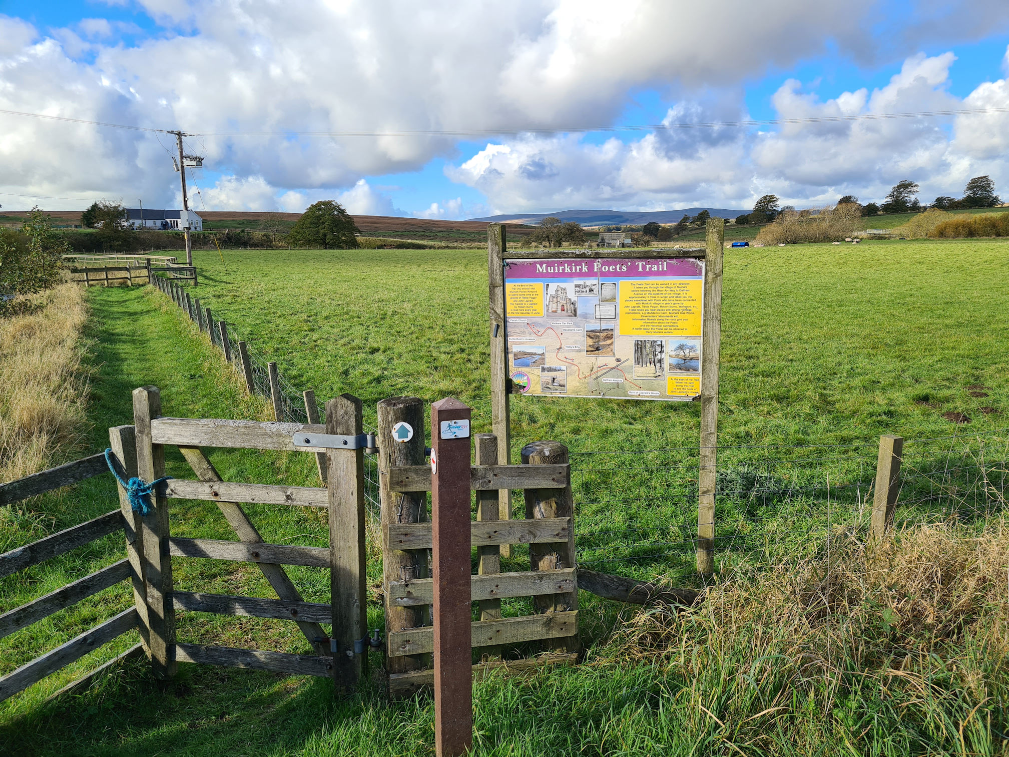
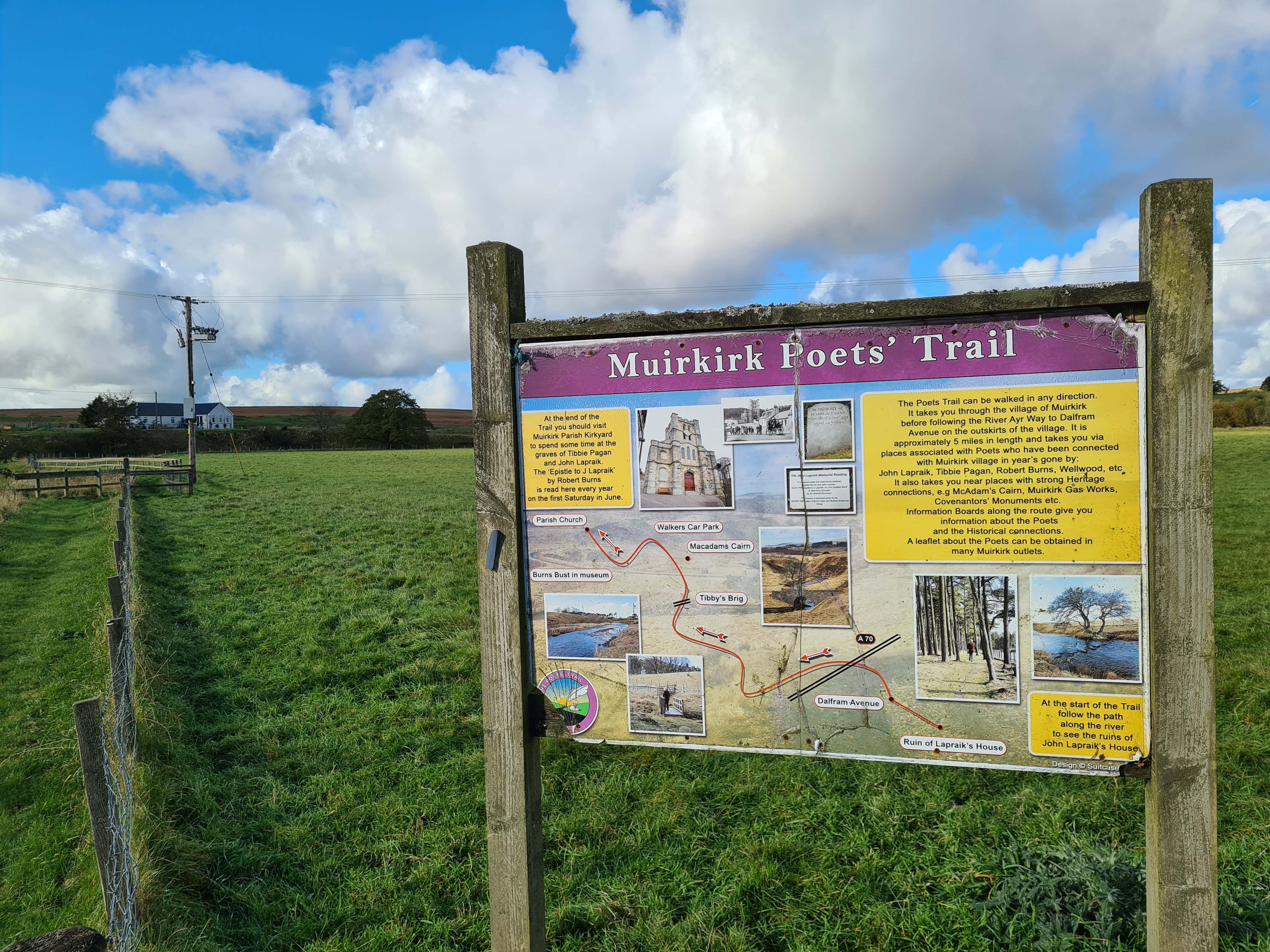
The River Ayr appeared on my right and I could see a wee a bridge in the distance. It looked a little worn with age, a bit like me 🤣
I crossed the wee road bridge and spied an arrow and gate marking the way. There was also a sign post for the Muirkirk Poets’ Trail which I didn’t even know existed. I love when I find out about other local walks. The trail is around five miles and covers some of the places I passed so far in this direction. You should be able to zoom into the second photo to read more about it.
Back on a grassy path following the River Ayr, I was thinking I’d better pick up my pace and not stop as much. Easier said than done for me! The sun was still slipping behind the clouds now and then, and it felt like rain was going to fall from the sky soon.
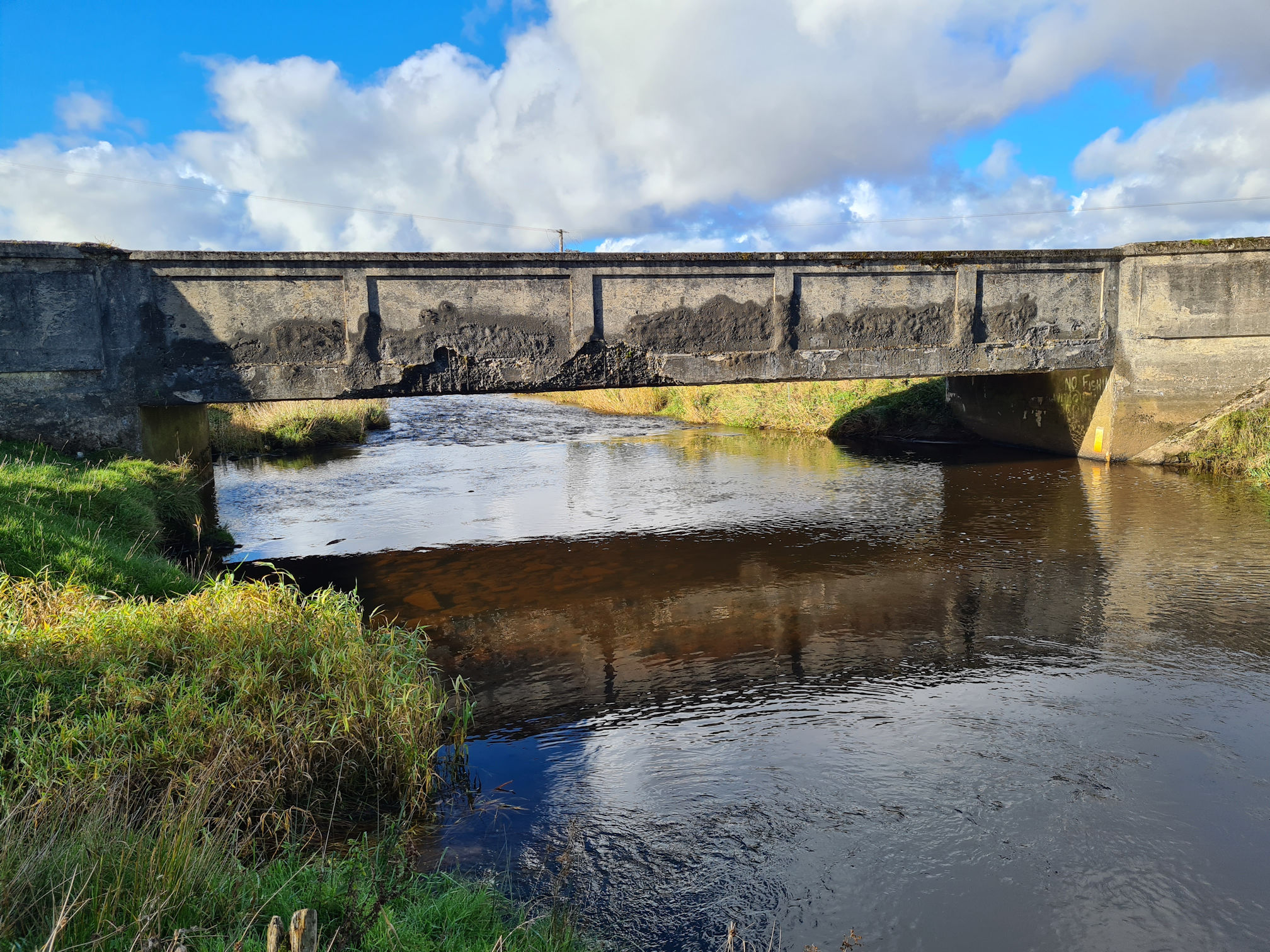
Yay, another bridge was ahead!
Beside the bridge was an information sign about the ruins of John Lapraik’s house at this location. He was the friend of Robert Burns who I mentioned earlier and also a local poet.
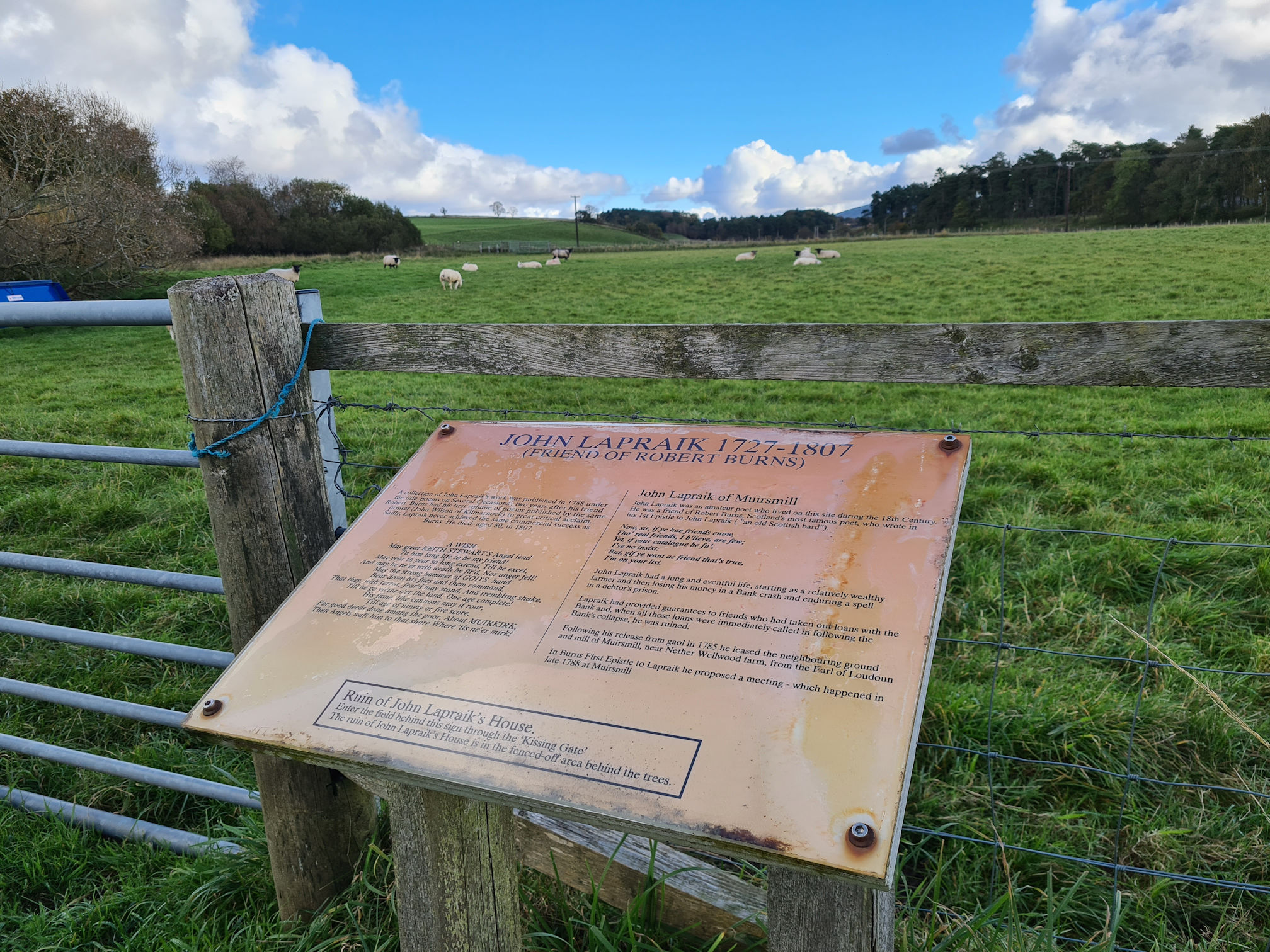
To visit the ruins of John Lapraik’s house it said to enter the field behind this sign through the ‘kissing gate’. Even if I did have time, I wasn’t going to enter the field as the wee sheep at the front was staring at me strangely as if to say, “You shall not pass!”.
I’ll come back another time…
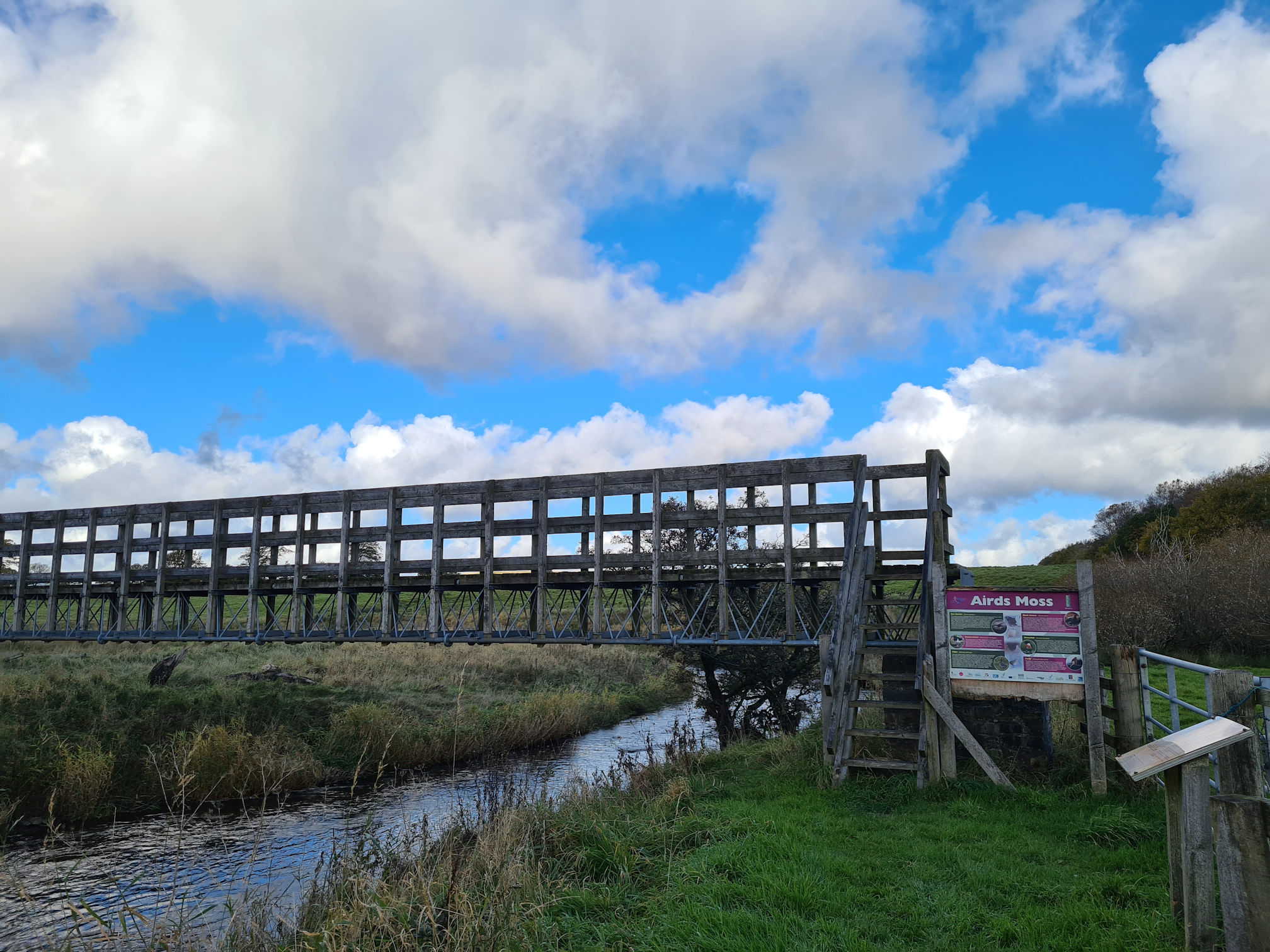
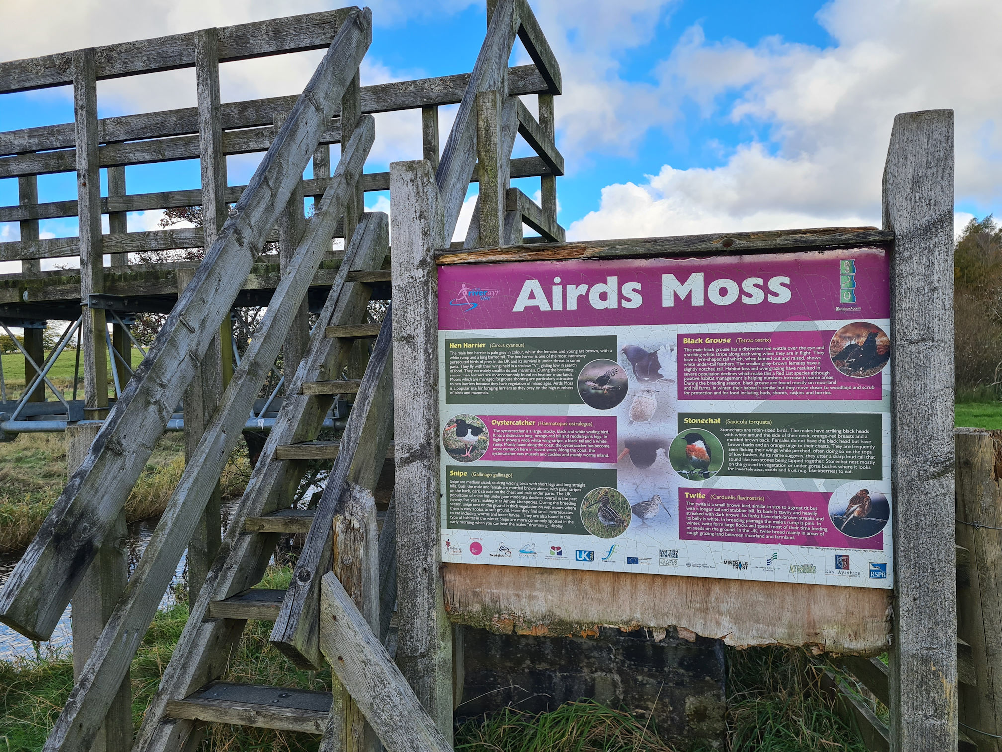
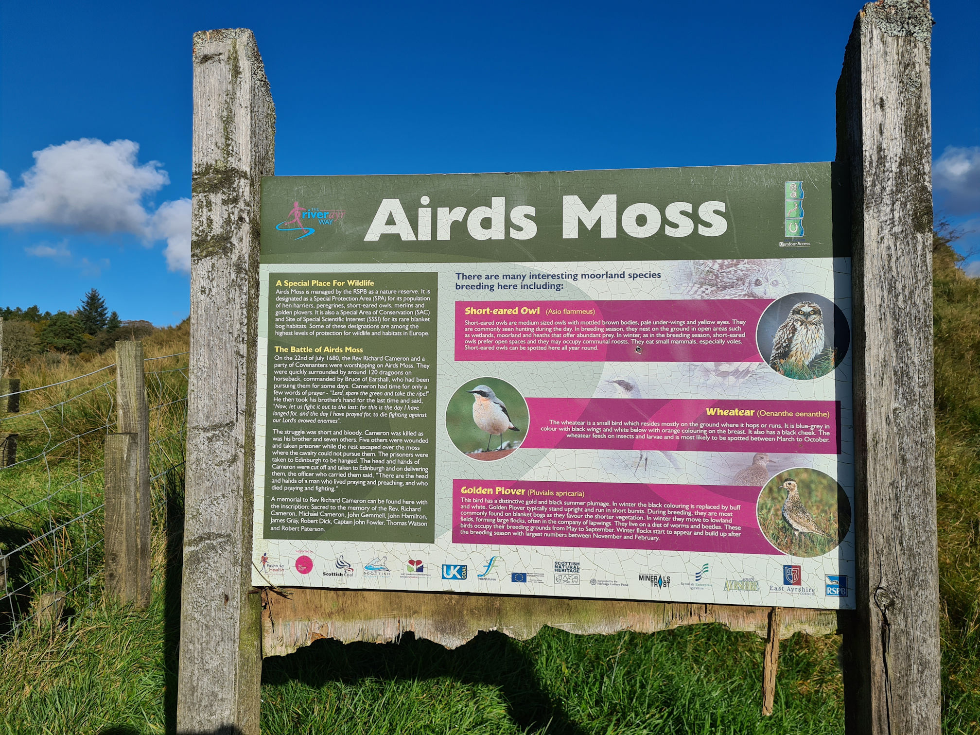
Airds Moss
I’d never heard of Airds Moss and I didn’t know what it was. The information sign was all about the different types of birds you might see walking here though.
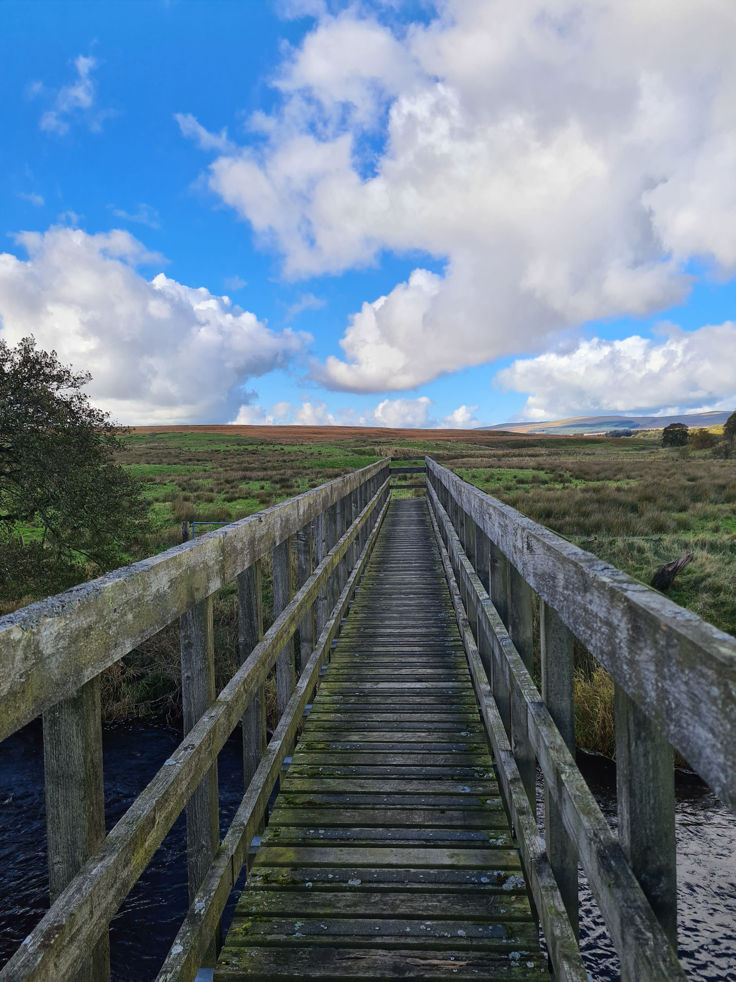
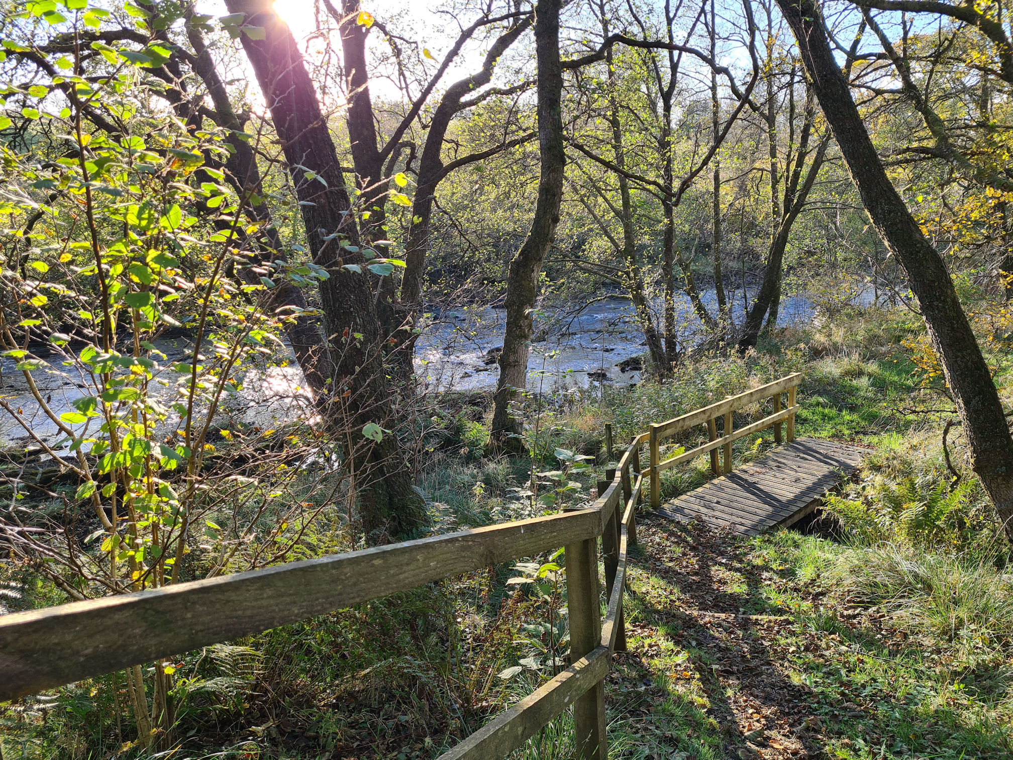
The wooden steps on this bridge were steep to climb and I had to really lift my short legs!
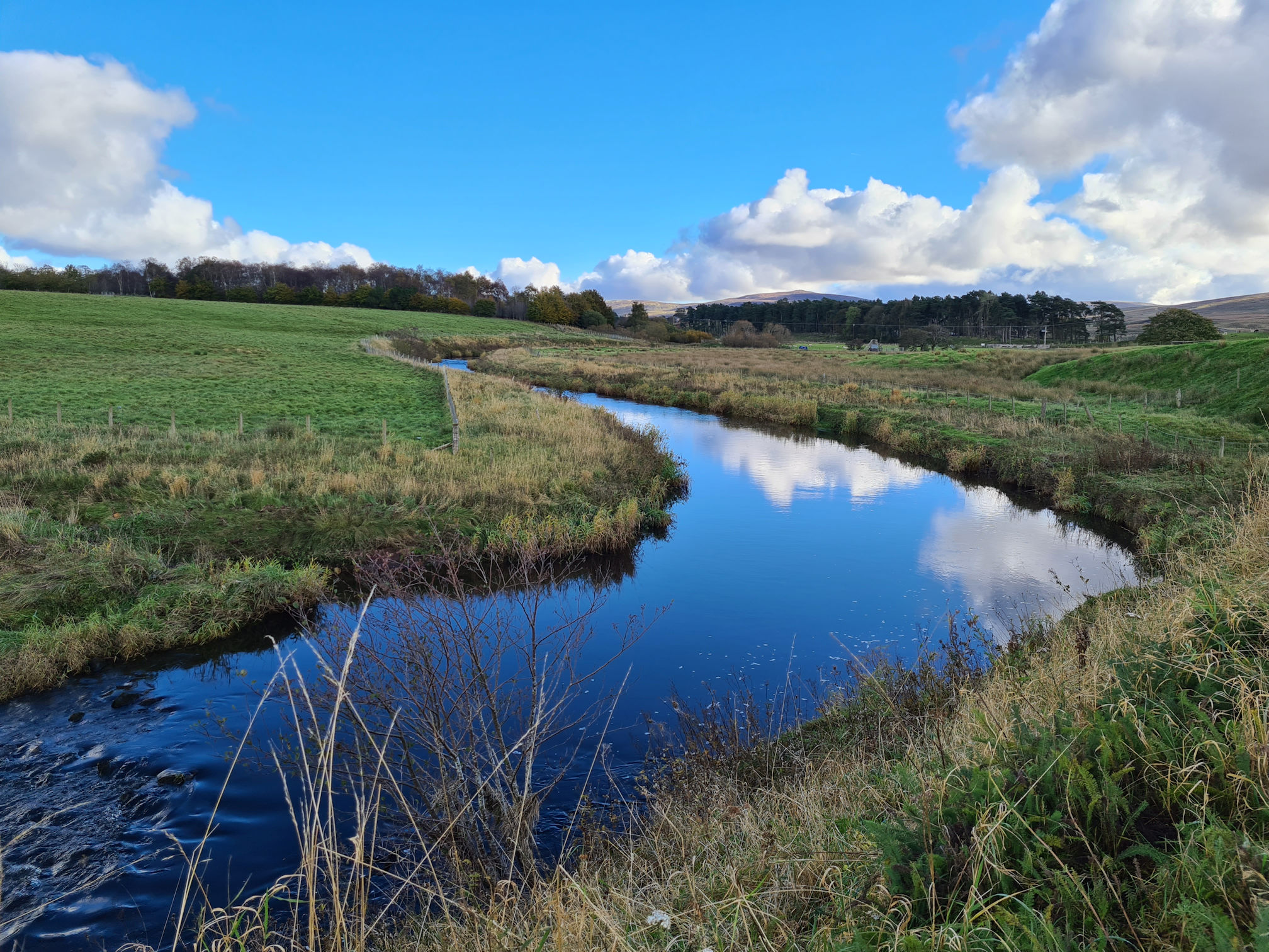
As I stepped onto the high wooden bridge the landscape just opened up in front of me. Wow, it was so beautiful!
This also felt like the bridge to nowhere, similar to John Loudon McAdam’s road back at Kames. It looked like I had a long way to go before I would see any road where Alan might be parked.
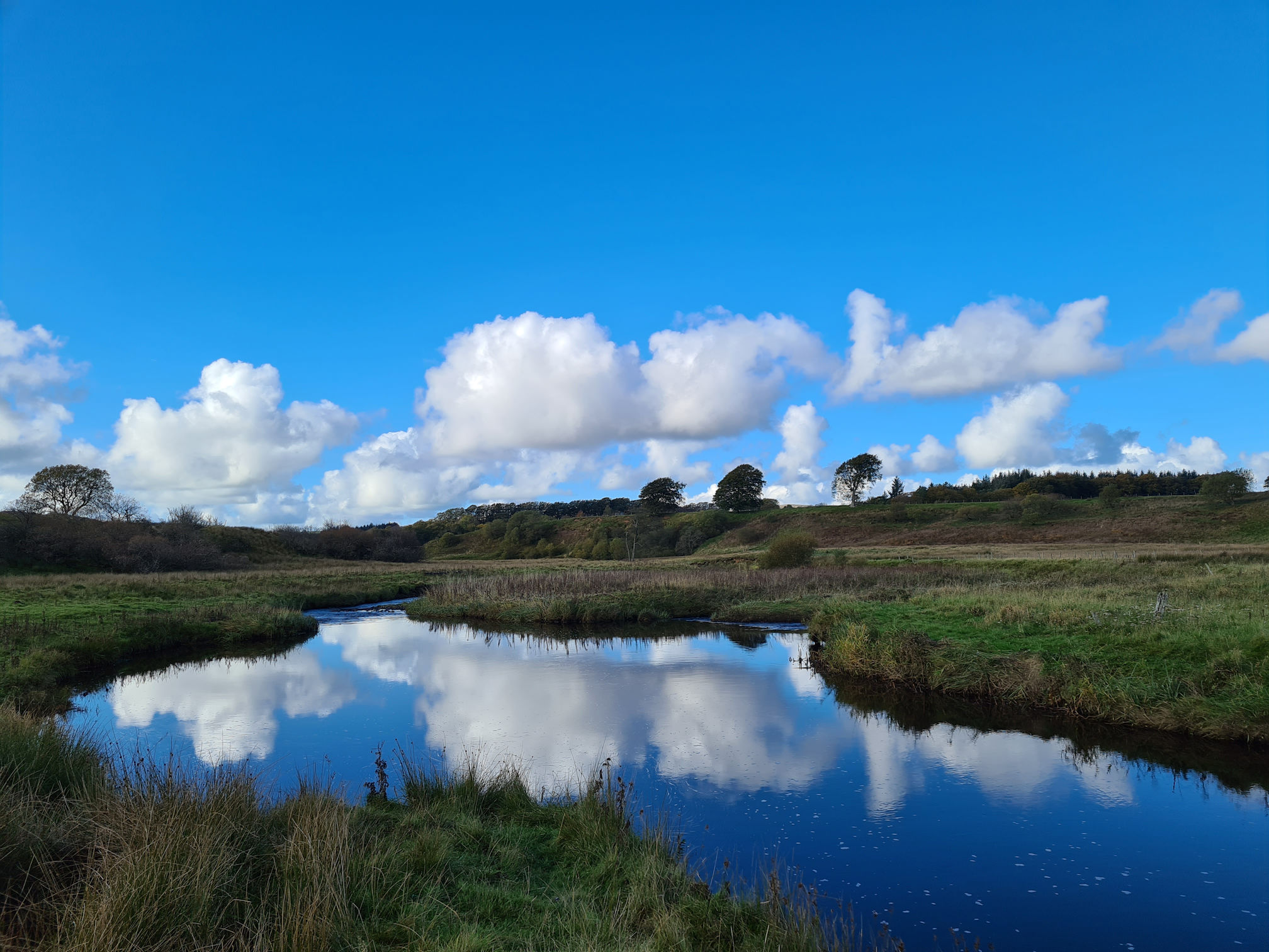
The river flow was smooth and slow flowing at parts, reflecting the blue sky and huge puffy white clouds looking like a water painting.
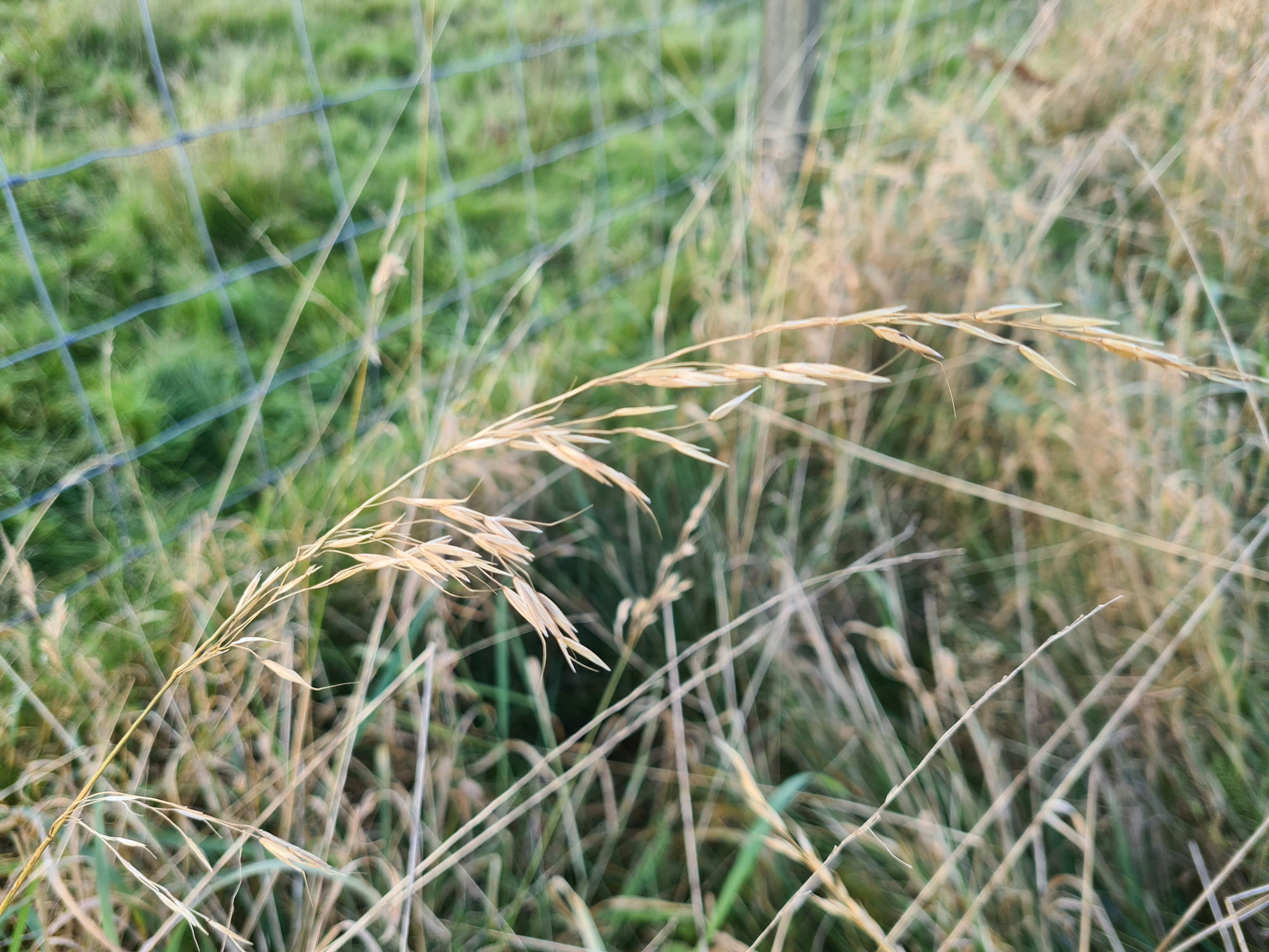
This is the long grass I mentioned in my last post when I was talking about how I loved picking the long stem and sliding off the grass seeds with my fingers when I was young.
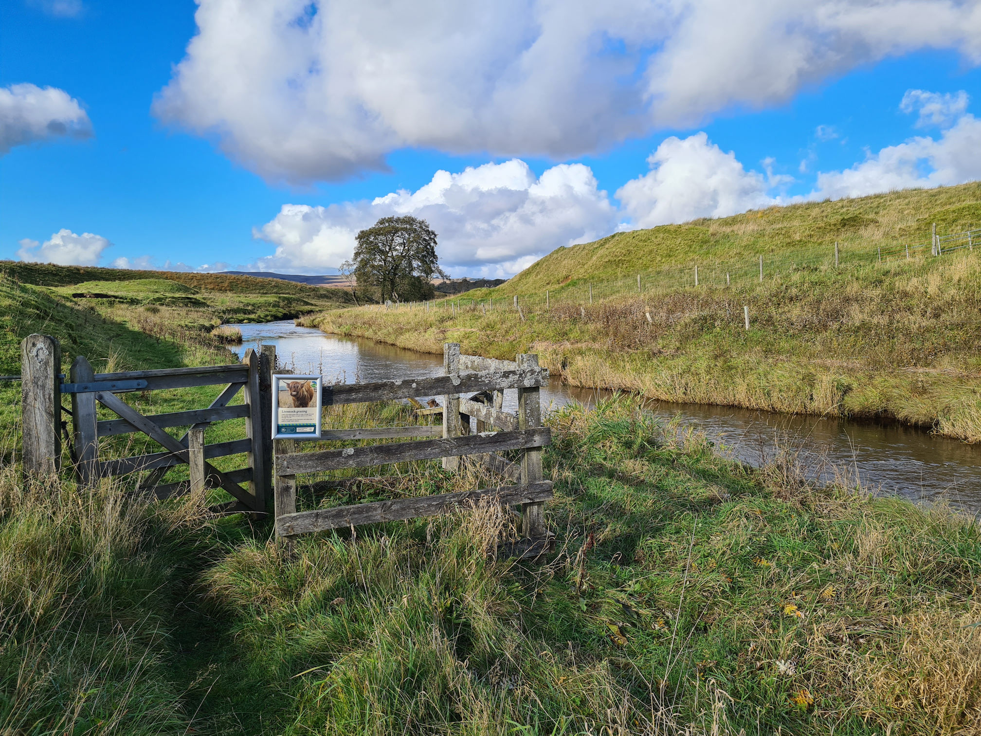
I reached a gate with an information sign saying:
Cattle and sheep graze here to help manage the land for wildlife. Give them enough space as you move through the site. Please leave gates as you find them and keep dogs on leads or under close control.
It should be okay I thought, the animals won’t be near the path I’m walking on.
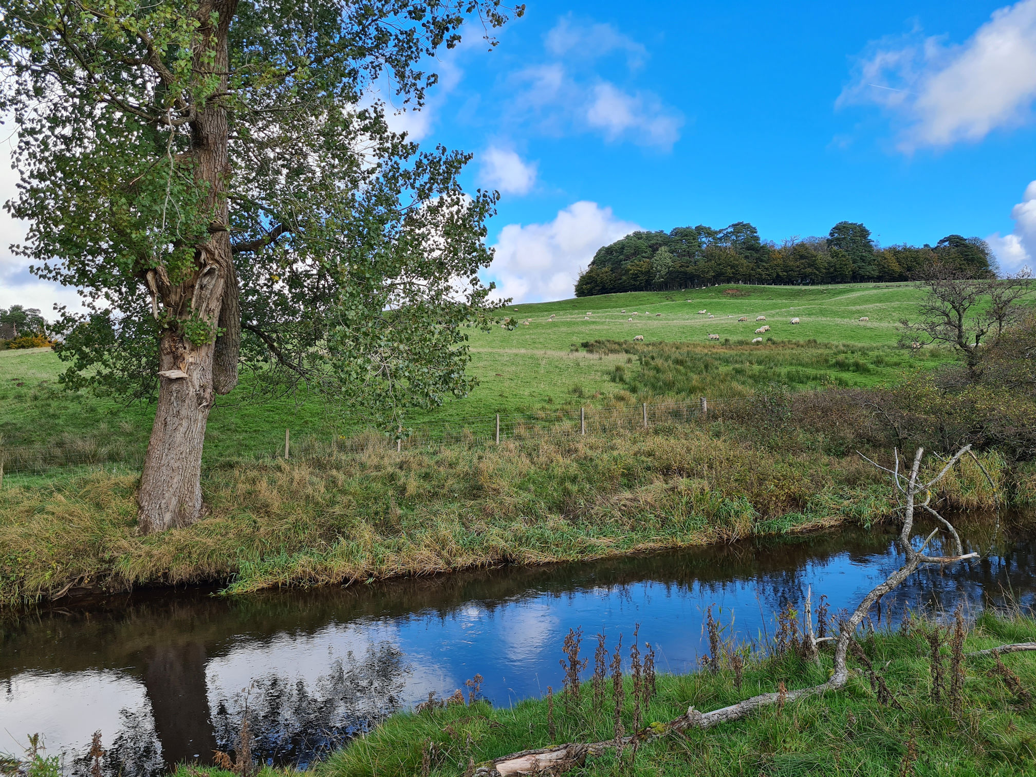
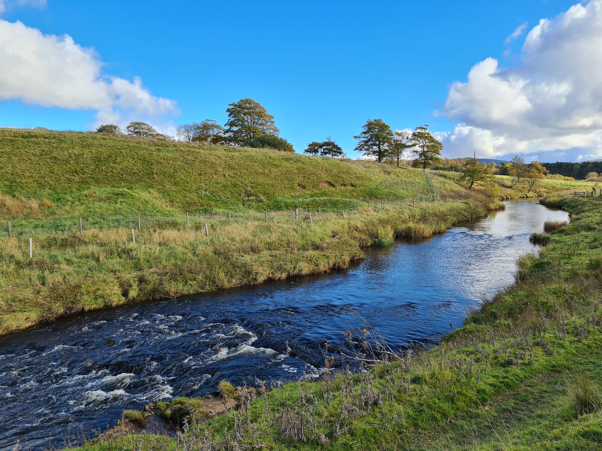
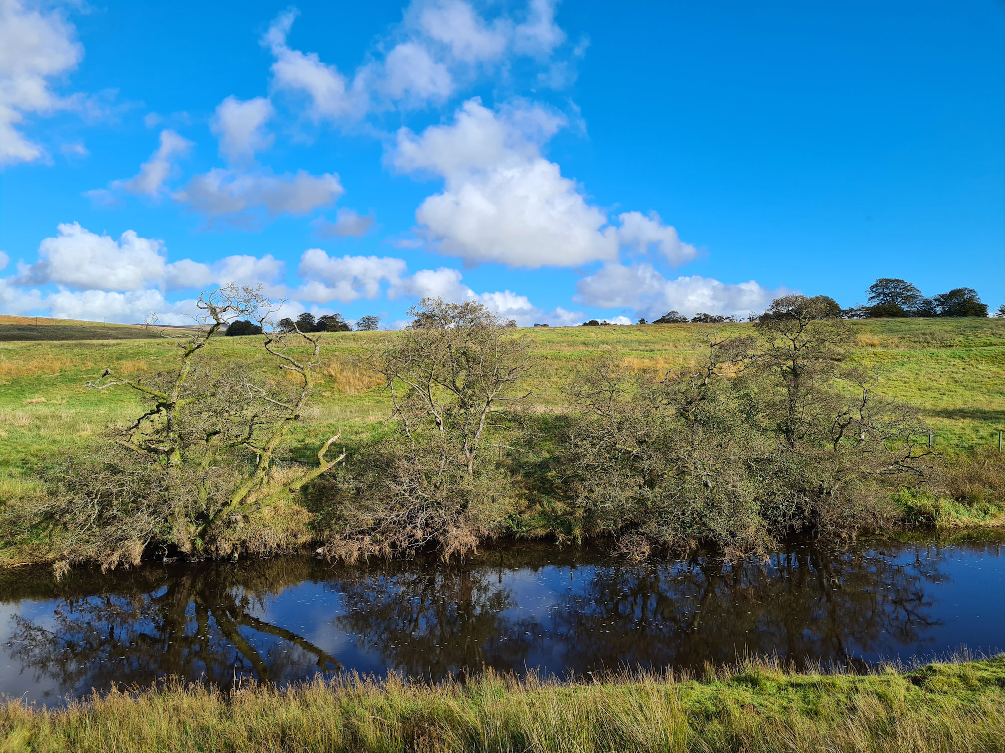
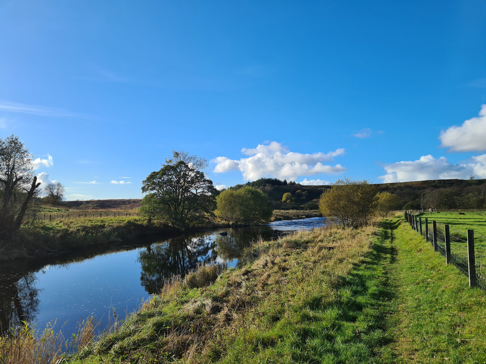
As I walked along this stretch, I was loving every corner I turned and also looking back the way I came. Random trees on the banks of the river were framing more beautiful pictures. Another lovely Ayrshire landscape!
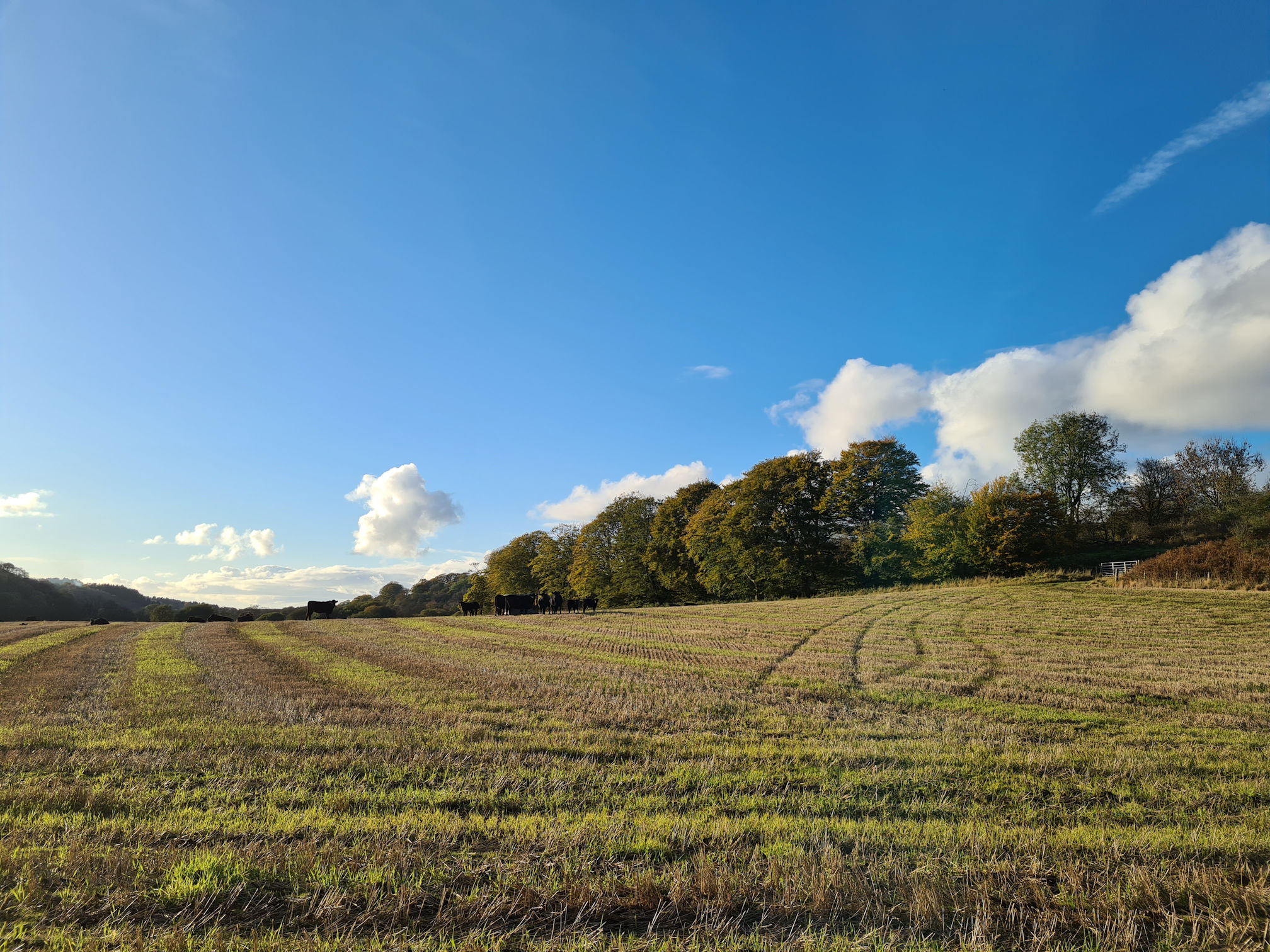
I was walking along quite merrily then suddenly I stopped in my tracks. Cows alert!
A small herd of cows were gathered on the trodden grassy path I was following. The river was a bit further away to my right, so I did wonder if I should have been walking there instead.
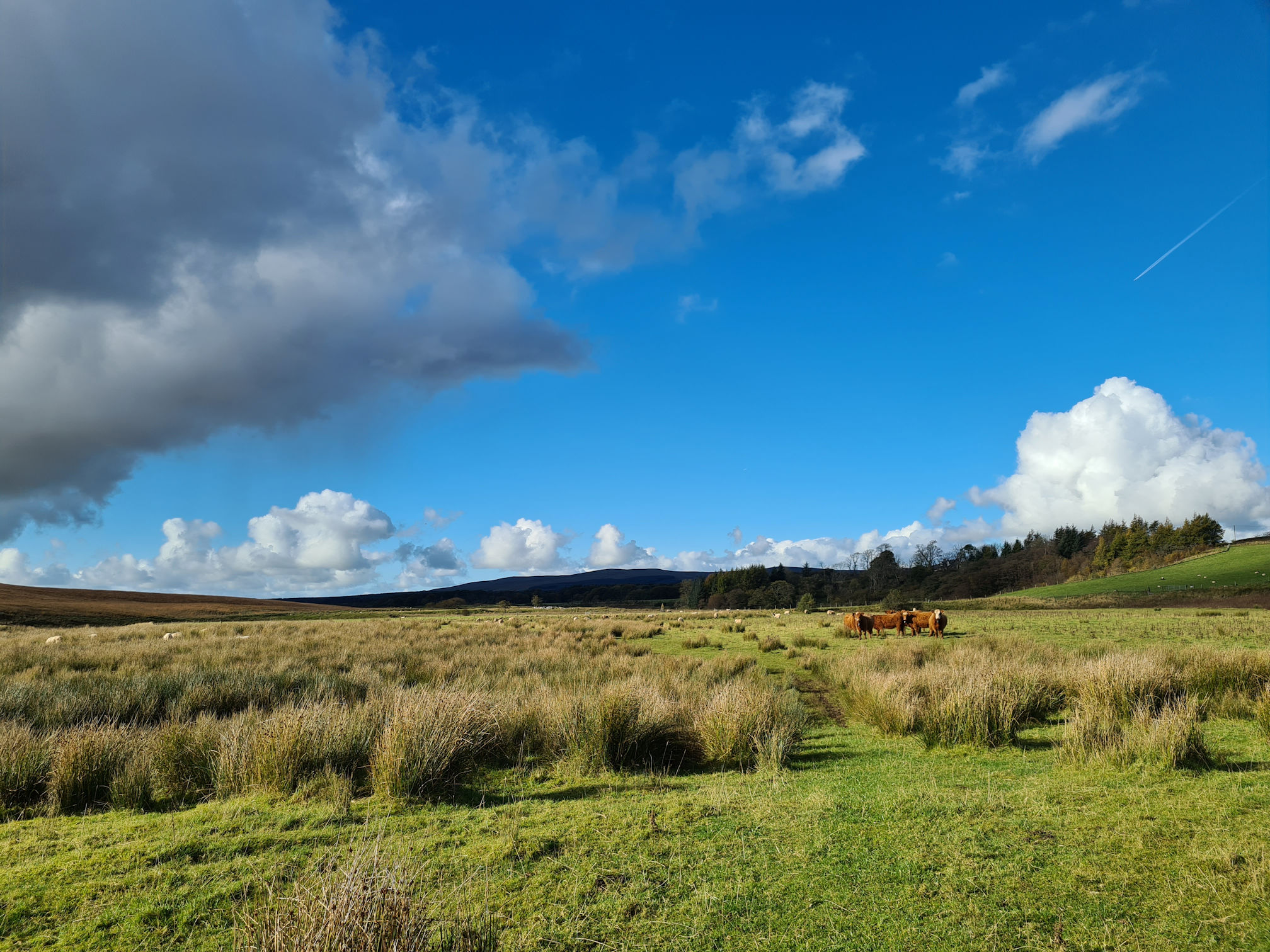
I stopped to take photos and video but was also wondering how I give them the space they need. Do I just keep walking straight on and they’ll move? I didn’t want to scare them, and I was wary of how they would react to me invading their space.
We stared at each other for a good five minutes, wondering who would run away first. I slowly walked closer and they still didn’t move.
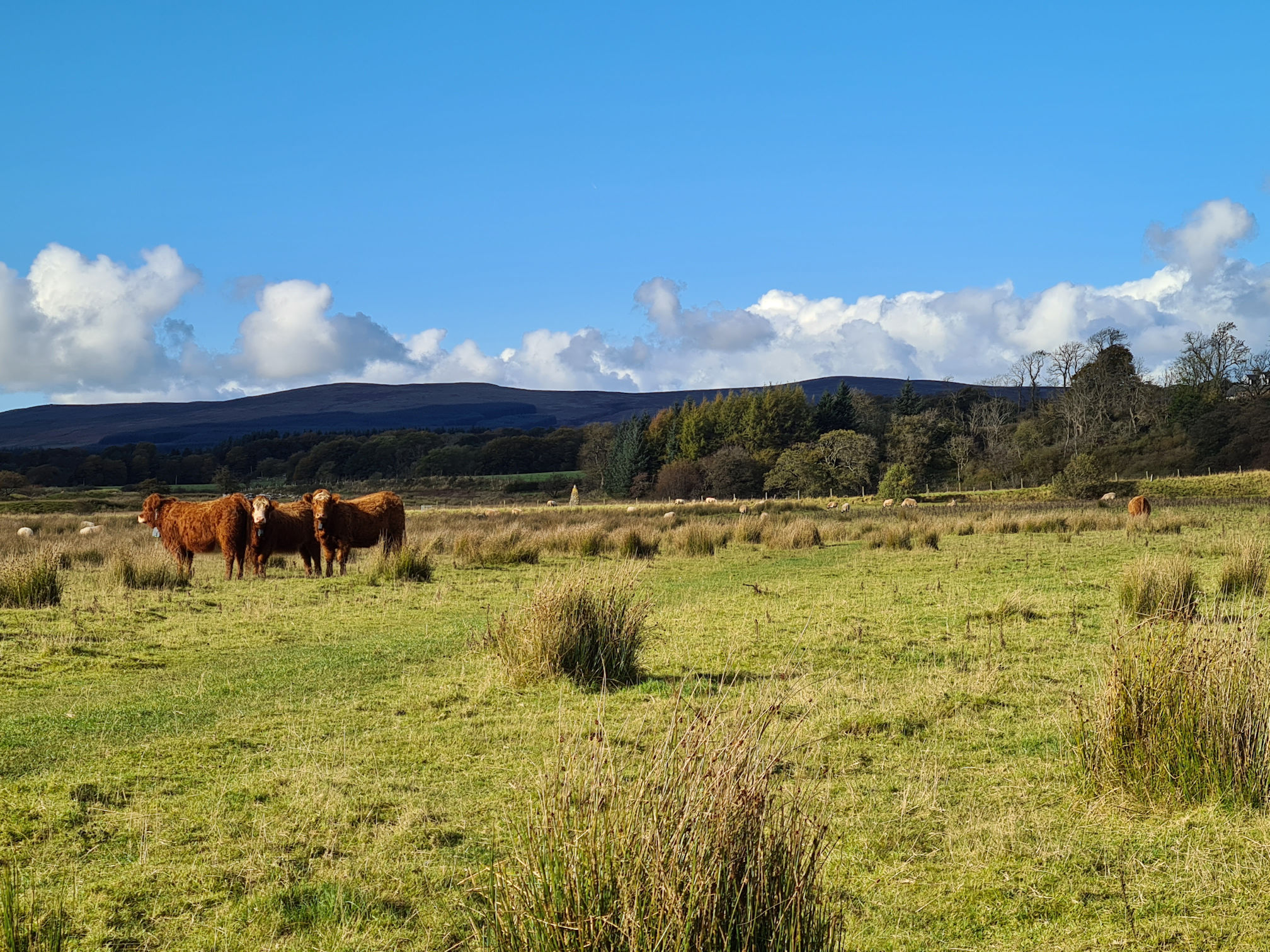
I saw a cairn in the distance and thought I could move right towards the river to see it, and hopefully get around the cows that way. No luck there, as when I moved they decided to run in that direction too. At least I could walk straight on now, but I missed finding out what the cairn was.
Ah, looks like I wouldn’t have been able to reach that cairn anyway as it was in a field on the other side of the river. I was loving the way the river bends here!
Then suddenly I saw a Heron in the water! It was too far away though and flew away before I could take a photo. Luckily another one, or the same one, appeared in the water again. I was ready and kept my phone camera recording on zoom and waited. It’s not the best quality clip but I was happy I finally recorded one for my video, yay!
Remember those pesky dark clouds earlier? They were definitely following me and I could feel that rain was about to drop on me soon. At the same time though, I had this feeling inside that a rainbow might appear. I didn’t know where, or what direction, so I stood still and waited in the rain.
There it was! Rainbow magic was happening right in front of my eyes! It was a faint rainbow, and I was too close to capture the full arch, but it was so beautiful watching it appear across the River Ayr where I was standing.
I call this a magical moment in time, and also seeing the Heron!
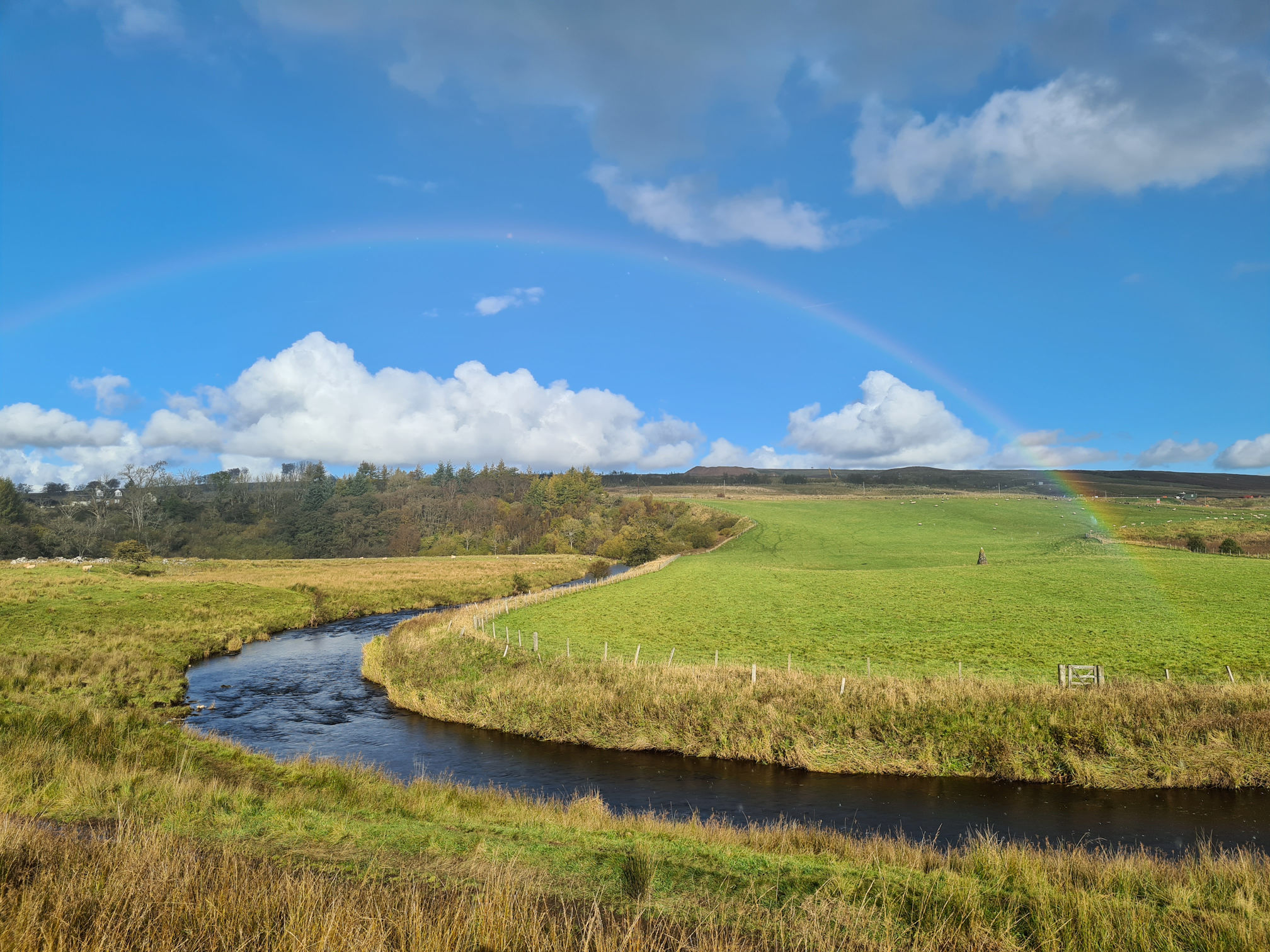
The little gate across the river was looking very inviting as well. I was wishing I was on the other side to search for a pot of gold and visit the cairn, but there was no crossing that I could see.
I looked up and enjoyed the light rain on my face. Thank you pesky dark clouds for creating this beautiful rainbow today. 🌈
It was time to move on. I had a signal on my phone, so I messaged Alan to let him know I was walking through Airds Moss and I wasn’t sure how far away I was from the road. To be honest, I was doubting whether I was going the right way as there were no signs to reassure me I was.
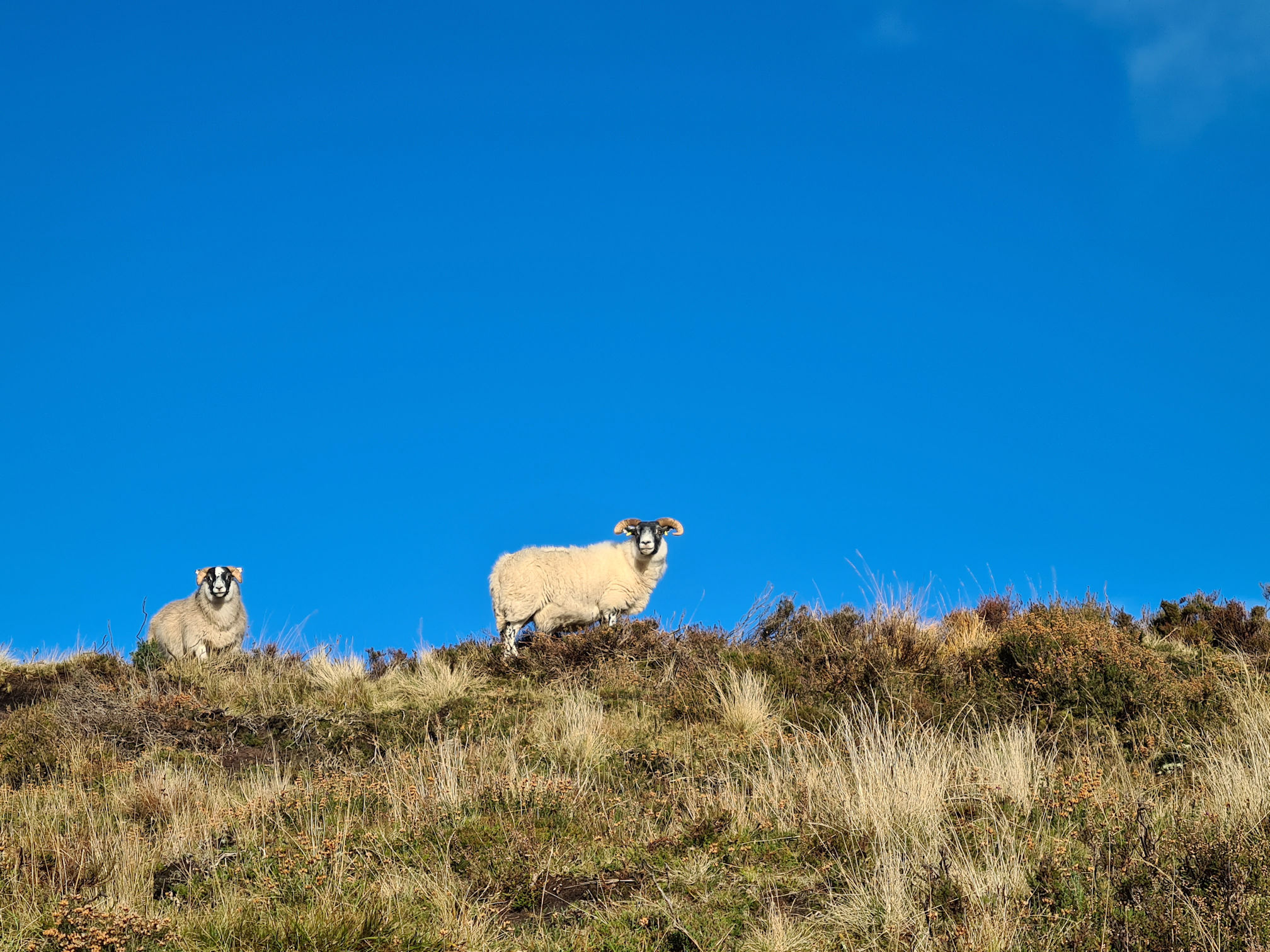
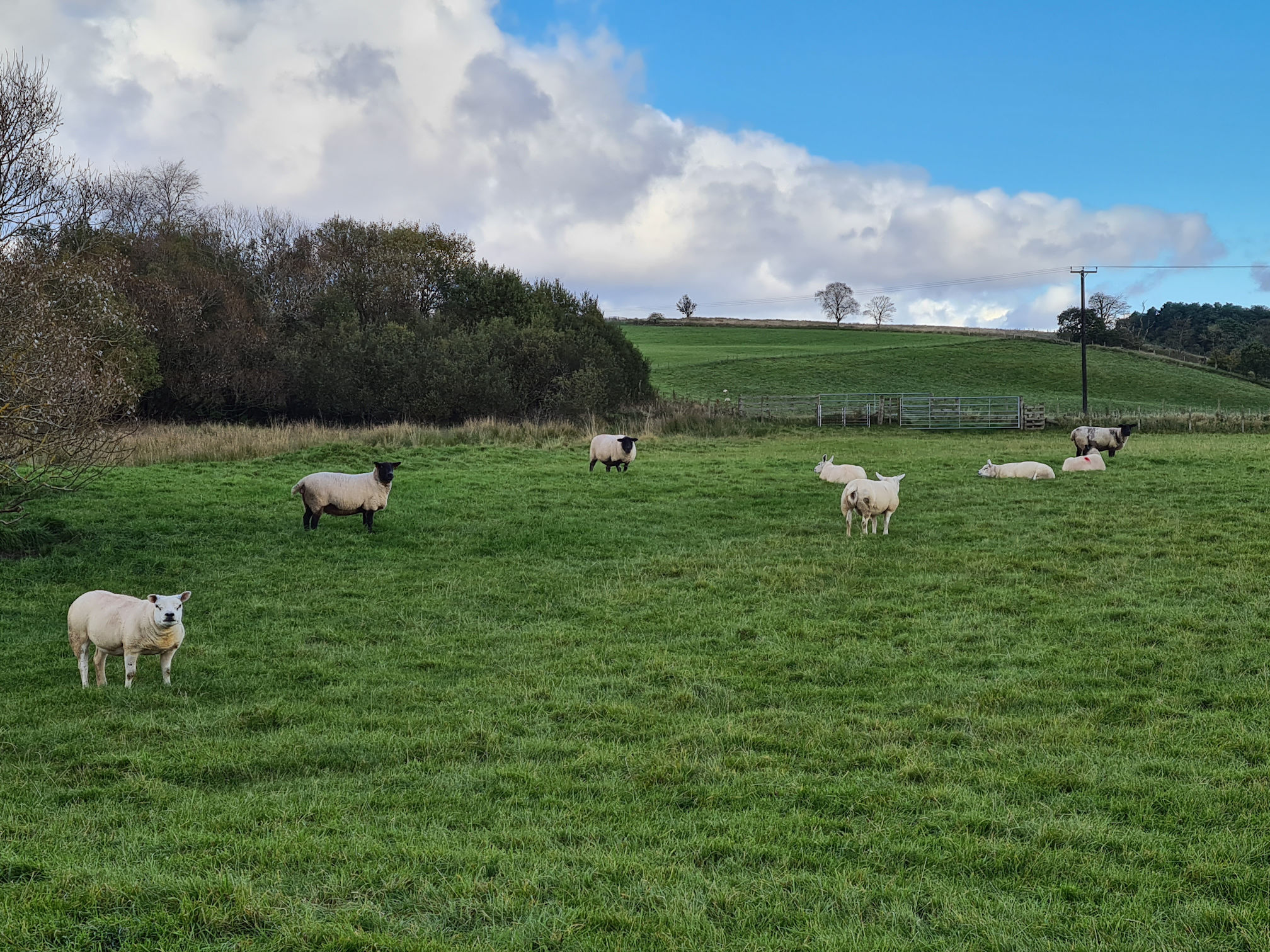
Next it was negotiating the cutest sheep clan …
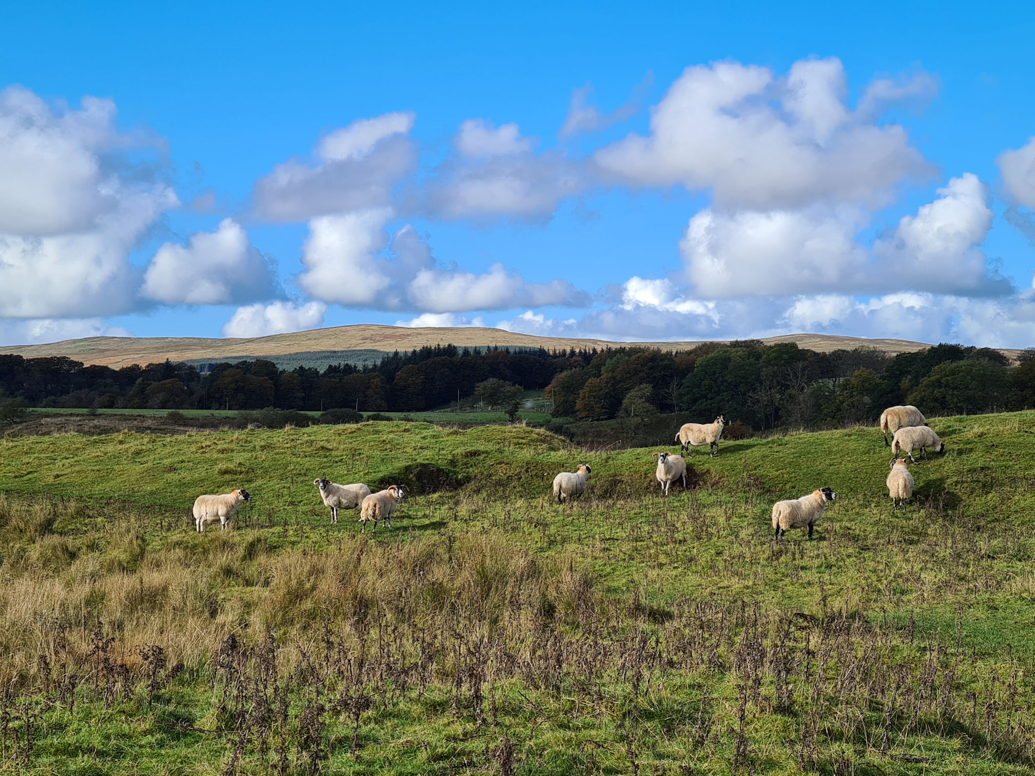
I’m not wary of sheep, apart from the one earlier … They usually always run away when I approach them. I walked slowly as I passed them, trying my best not to scare them but they still ran away. You’ll see a clip in my video where they all run ahead of me in a row, so cute!
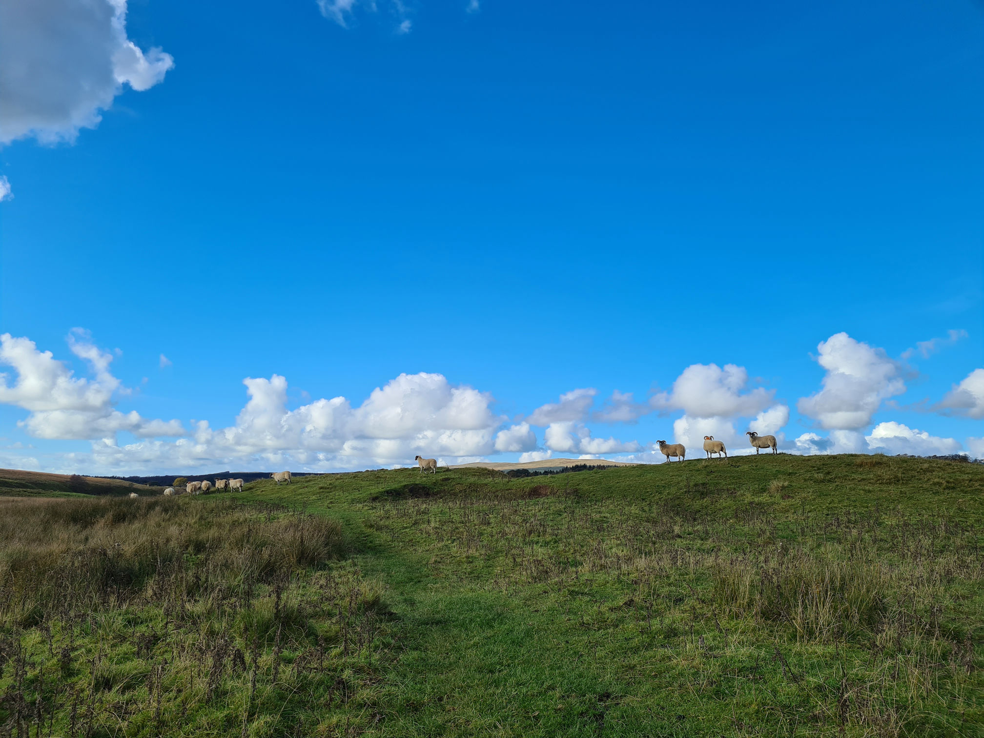
Still doubting I was on the right path, at last I spied a crossing! Phew, I could see a wooden bridge ahead and more sheep.
The bridge was the same structure as the one I crossed at the beginning of Airds Moss with high steps.
I stood on the bridge, looked back to where I had walked from and said farewell to the beautiful boggy Airds Moss and its wildlife. Wow, I really loved this lowlands landscape!
As I left the bridge this sign had more information about Airds Moss being a nature reserve managed by the Royal Social for the Protection of Birds (RSPB). This large area of moorland in East Ayrshire is also a Special Area of Conservation (SAC) and Site of Special Scientific Interest (SSSI) as it has a rare blanket of bog habitats.
Yip, it was boggy where I just walked for sure!
This area is also in the history books marking another bloody battle in 1680, the Battle of Airds Moss. It was another attack on the Covenanters by around 120 Dragoons on their horses. Reverent Richard Cameron and a group of Covenanters were worshipping on Airds Moss and he was killed along with his brother and seven others. Some of the men escaped and the wounded were taken prisoner to Edinburgh and hanged.
There’s a memorial to Richard Cameron on Airds Moss somewhere, but I didn’t see it when I was walking.
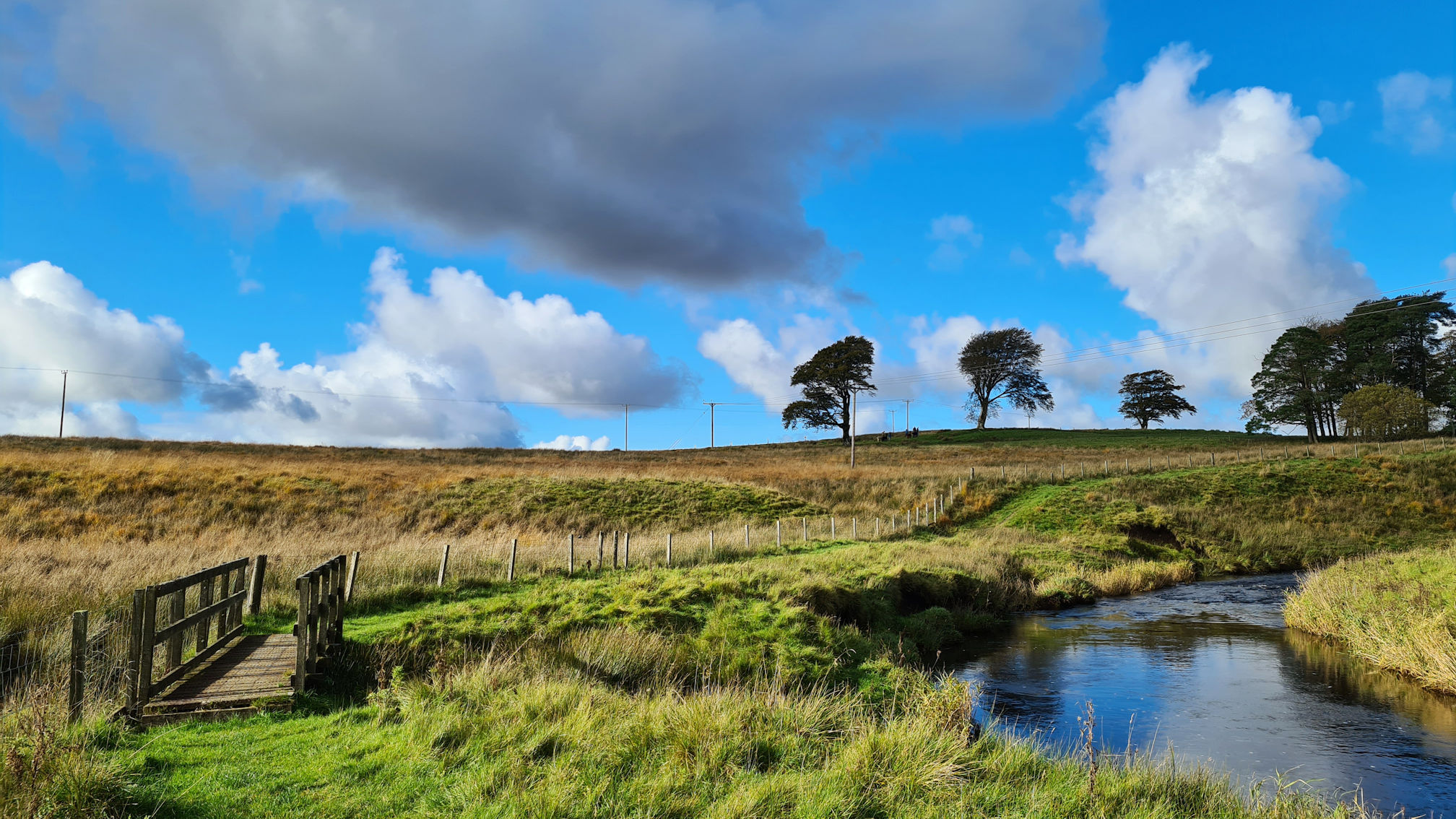
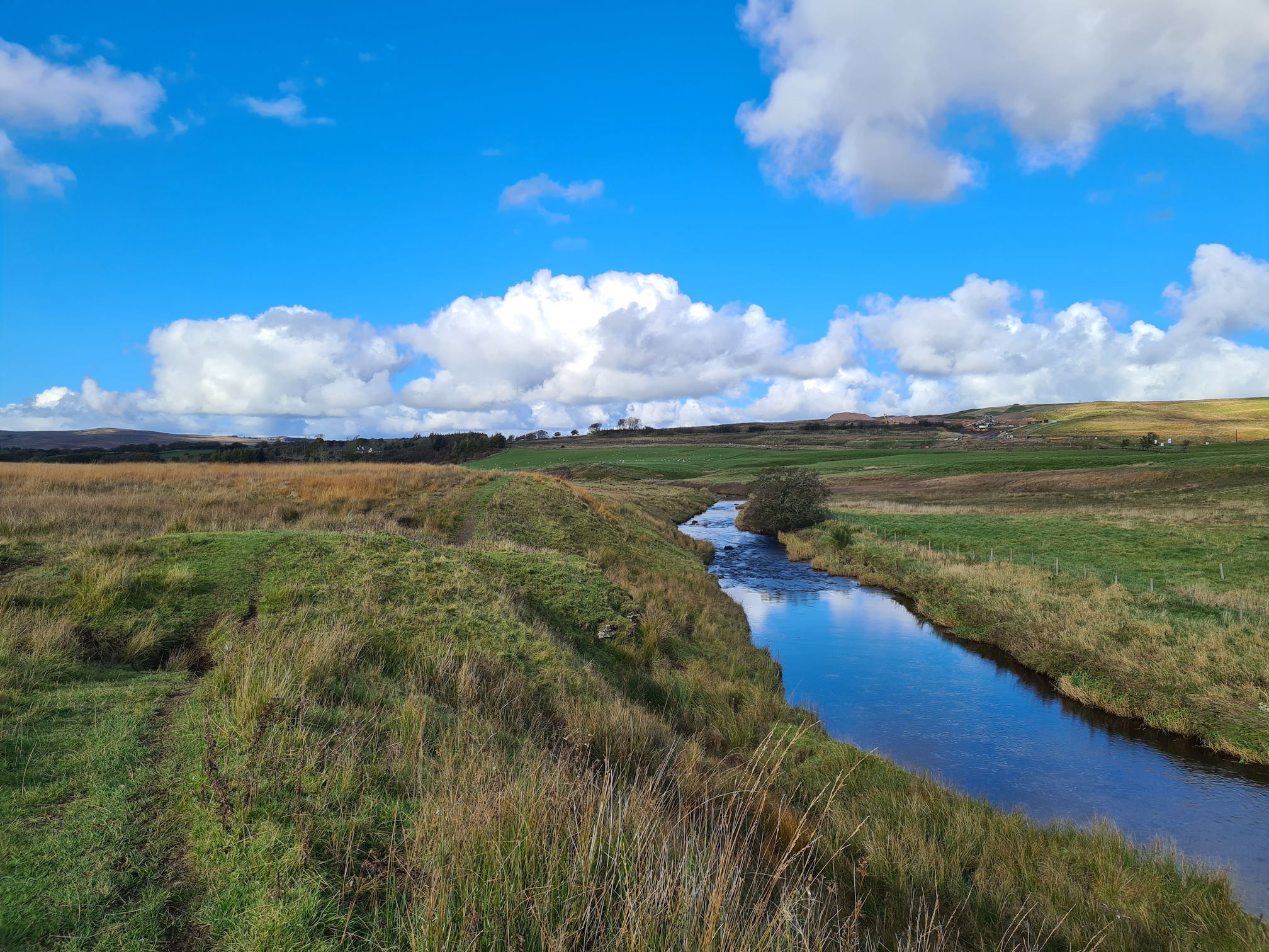
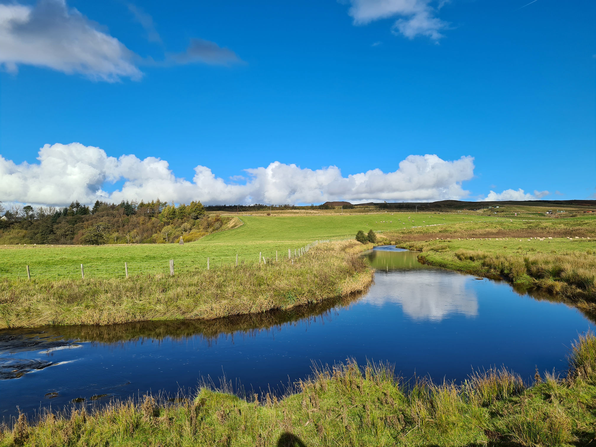
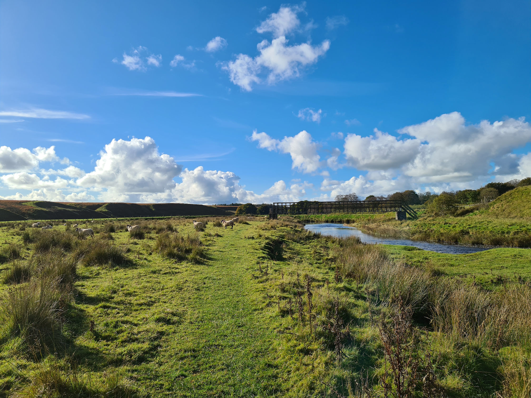
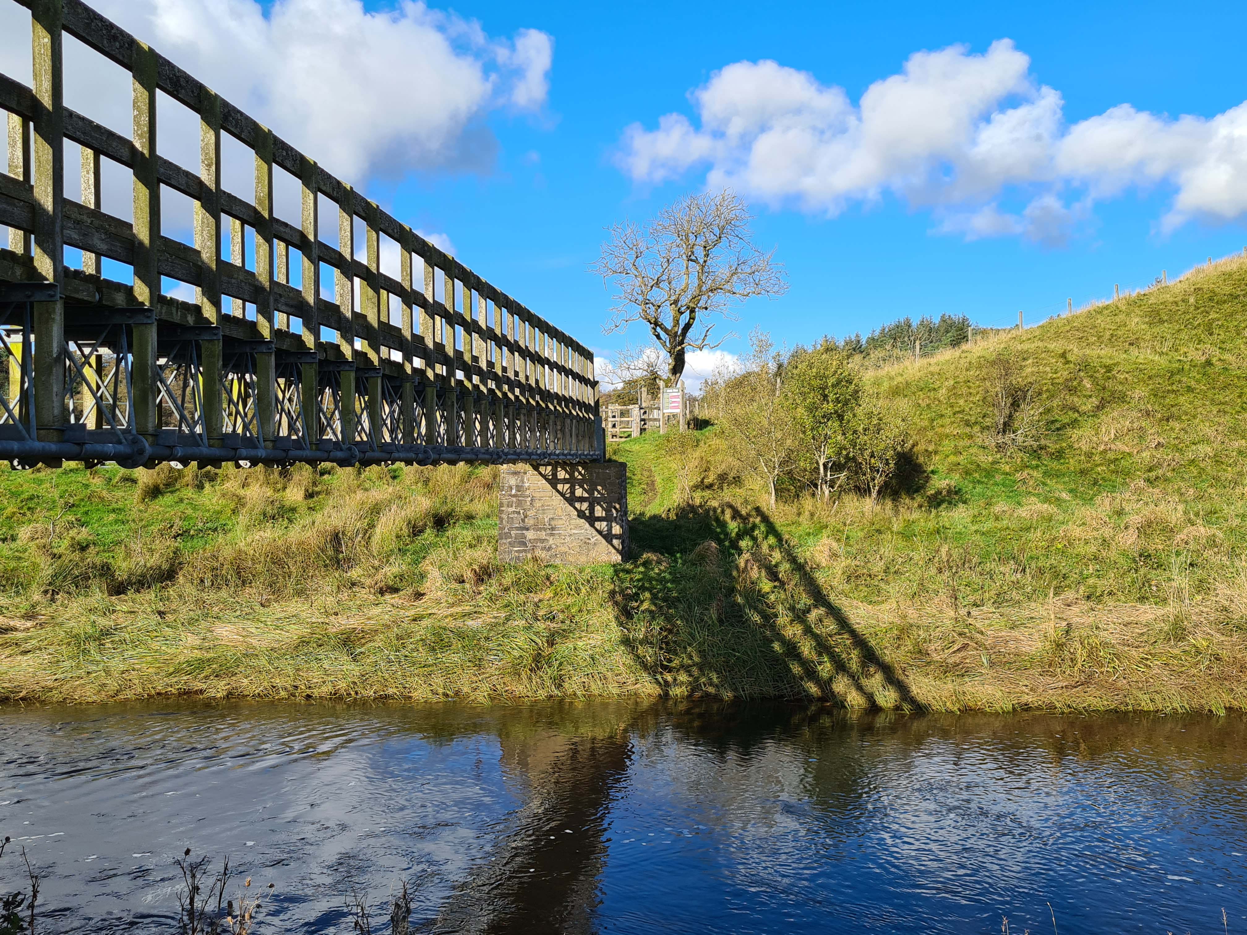
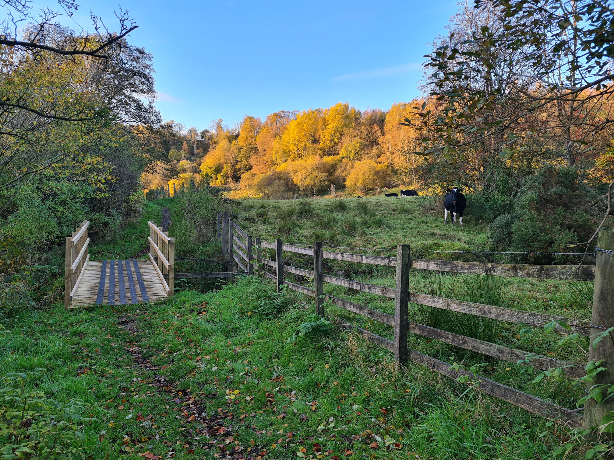
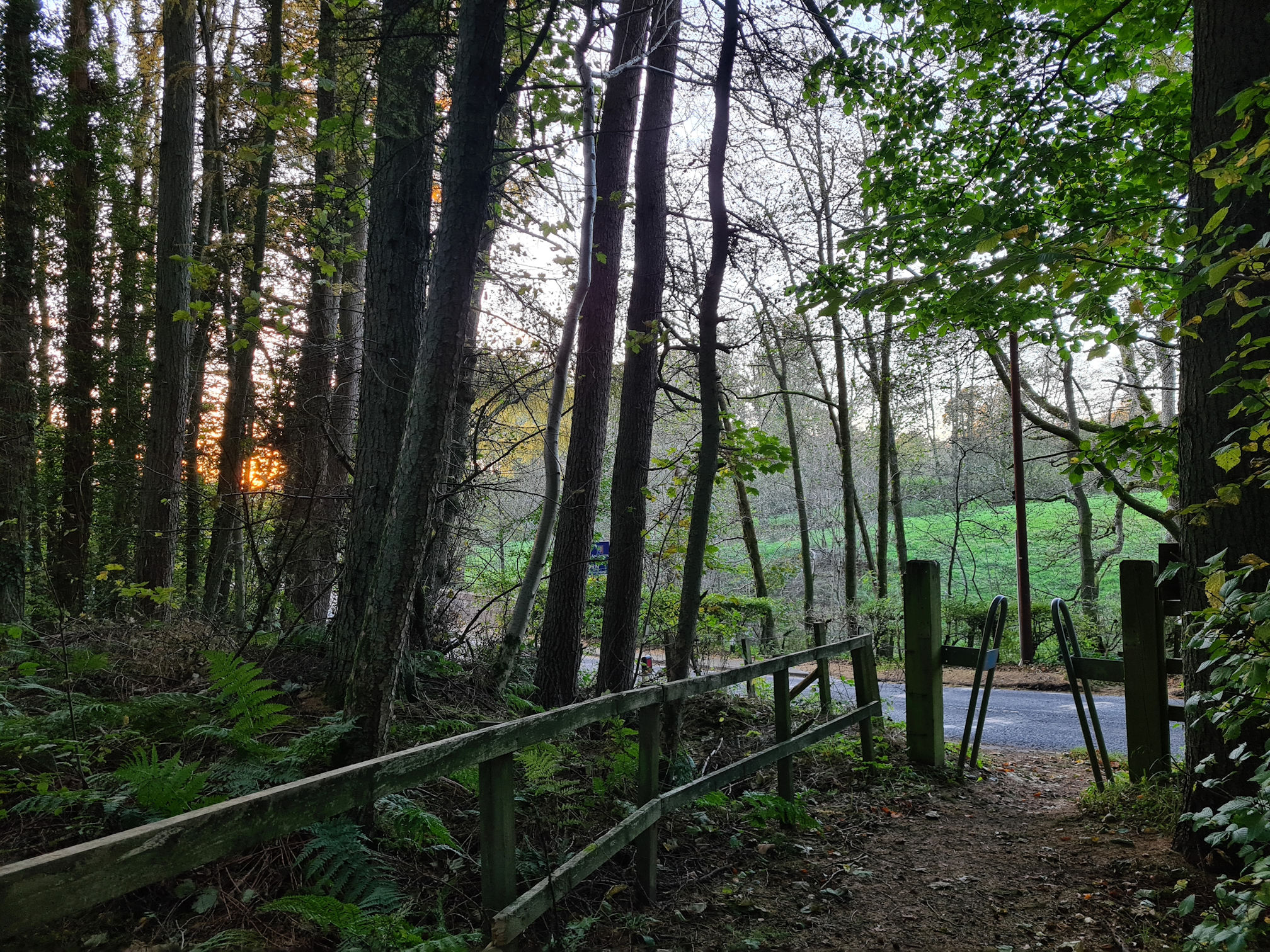
Greenockmains bridge, and next part of the River Ayr Way
Yay, I reached the Greenockmains Bridge! I saw the car parked at the other side of the bridge and was happy I made it safely so far.
My feet were yet again soaked through to the skin, so I changed my socks and ate a banana for a boost of energy. I’d walked around seven miles (11.5 kilometres) so far according to my watch, so I should only have five miles to go.
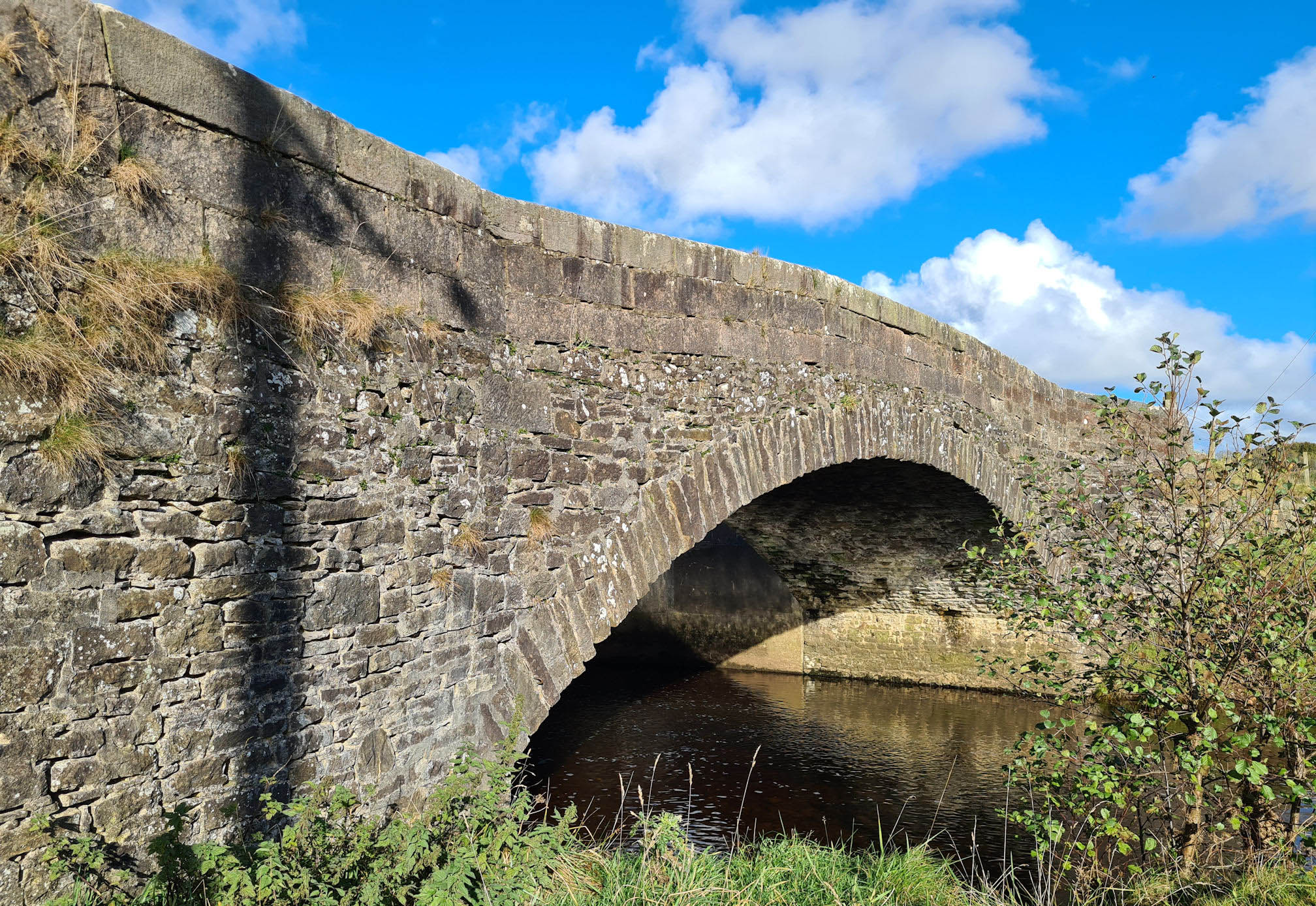
I’d already made my mind up that I would continue and finish the walk to Sorn. The sun was still shining, and I felt reasonably okay to continue. I walked down the wooden steps beside the bridge and along a path that led me back to the River Ayr.
I was on my own again, wondering what would happen next. I felt so spoiled in nature today with what I saw so far!
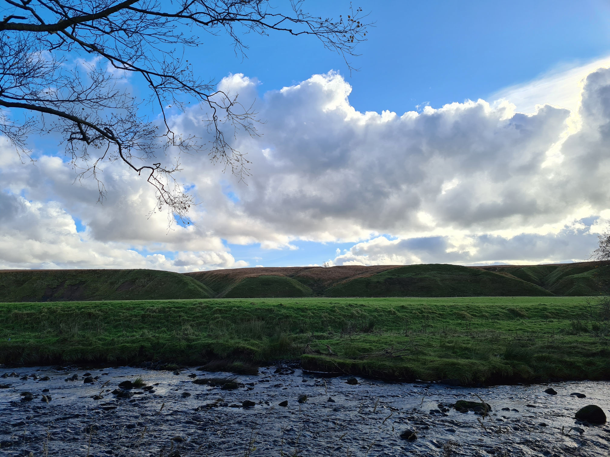
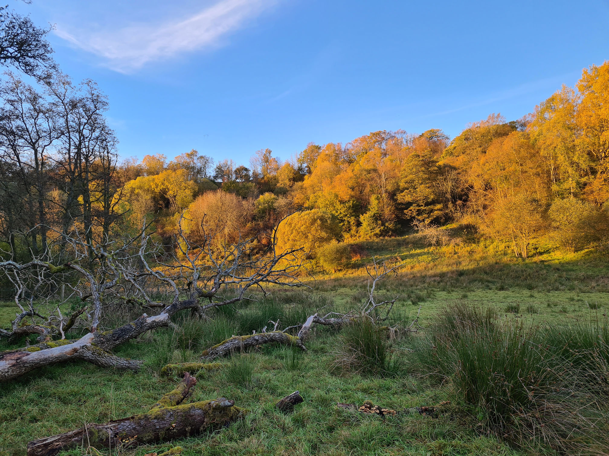
I was still loving the changing countryside views around me. These hill mounds across the river looked odd, possibly from recontouring the landscape after mining works.
More photos walking this part are in the gallery below.
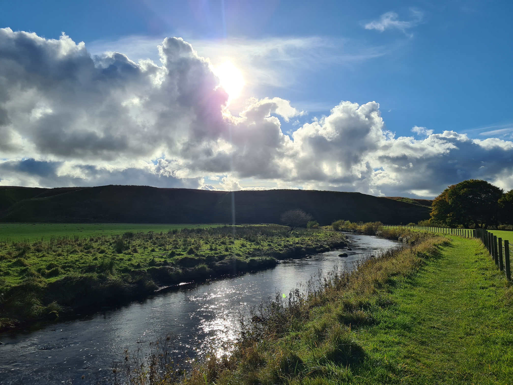
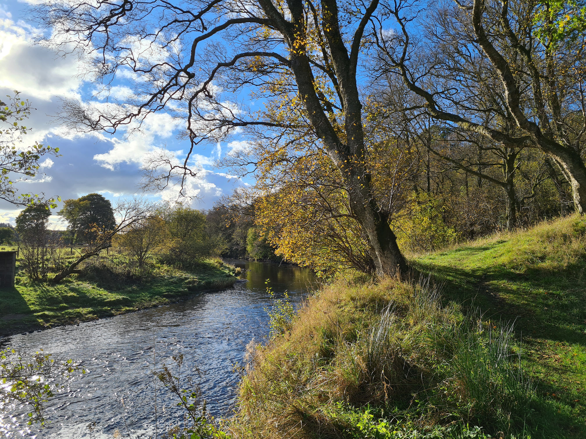
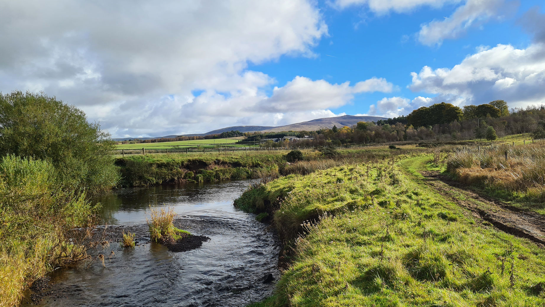
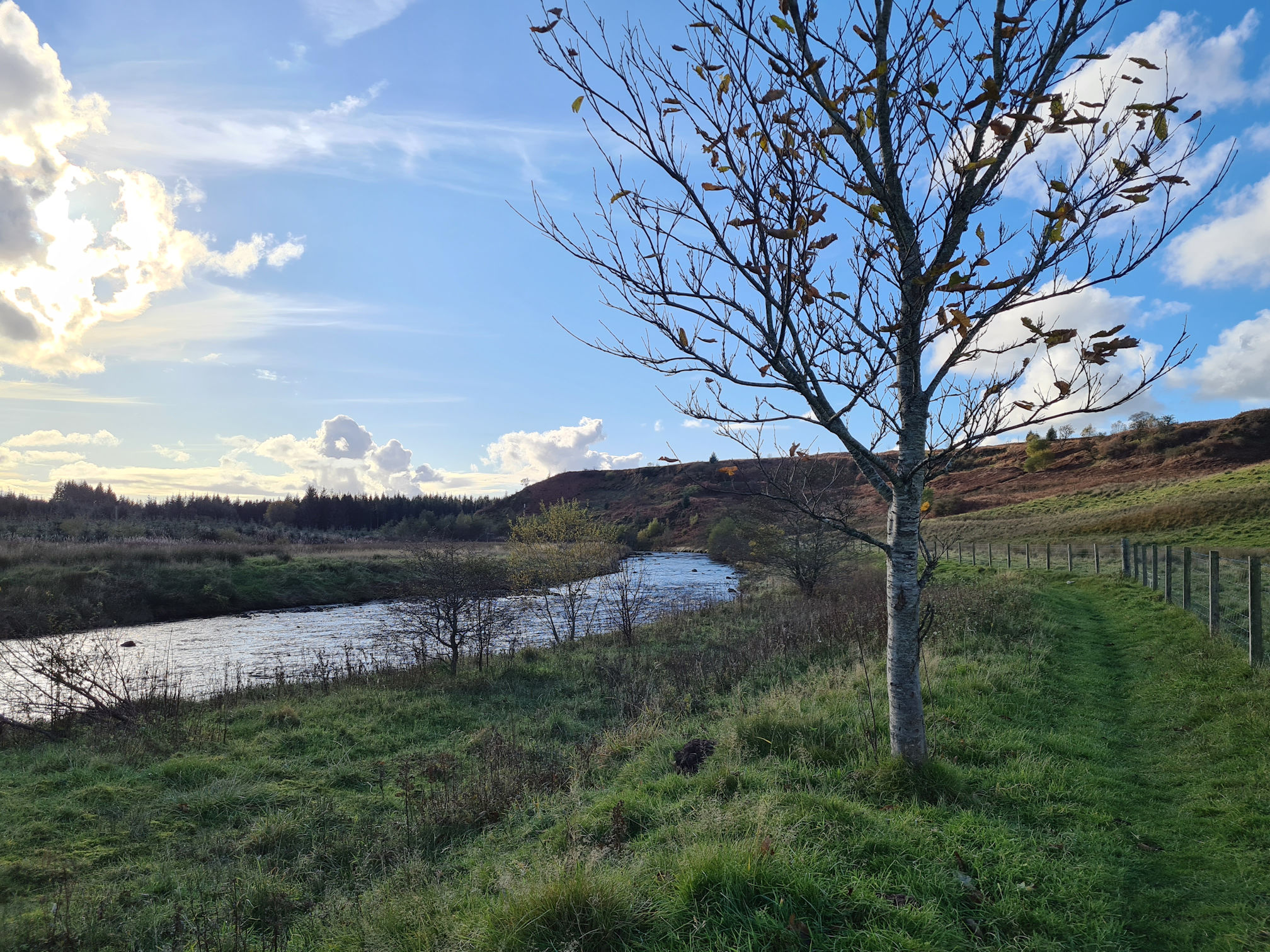
My new pal the River Ayr was flowing with me for a wee while, then I reached the main road again. I saw Alan driving past me, heading to Sorn the easy way. I waved, but he didn’t see me. I was back off the road in no time though and enjoying the pleasant company of the meandering River Ayr.

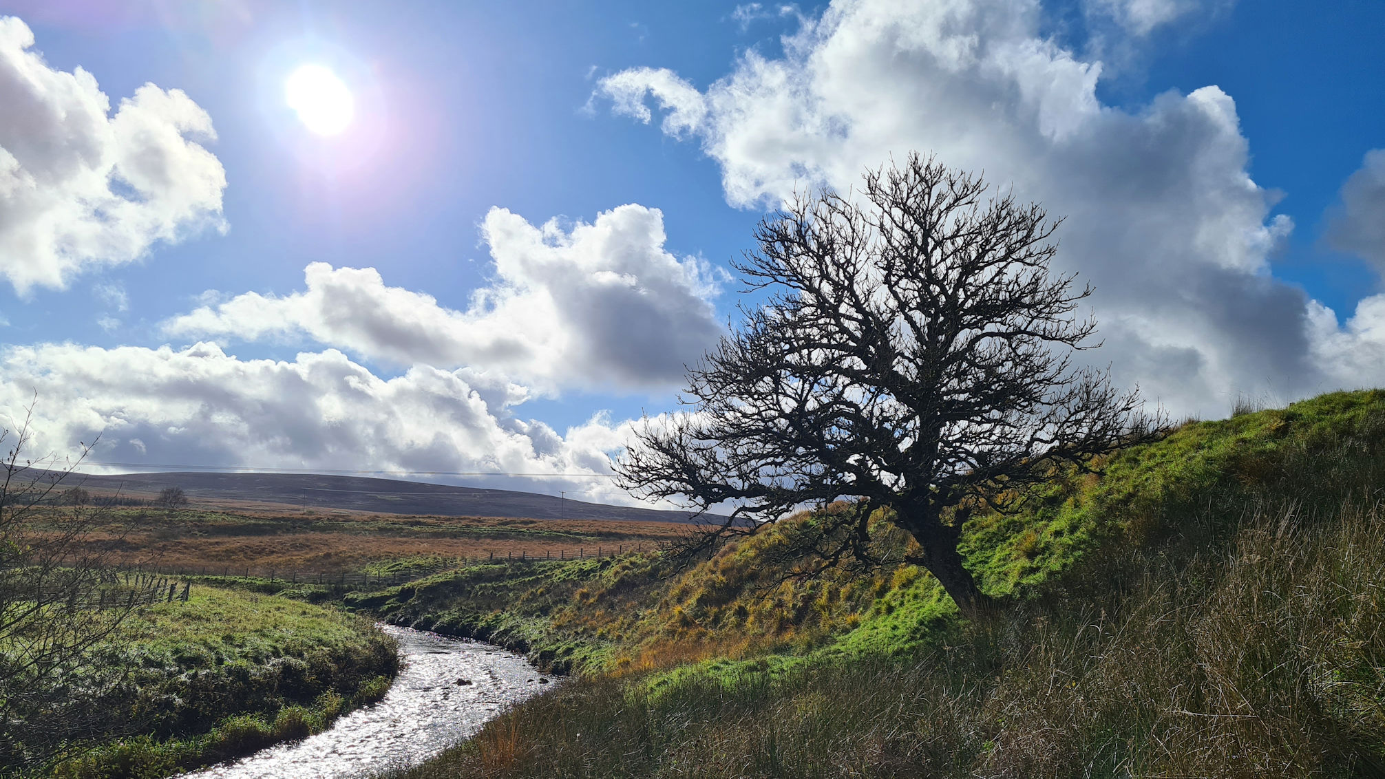
A lone pine tree beside the river was making me think of snow again, and how a snowy scene here would be lovely to see and capture.
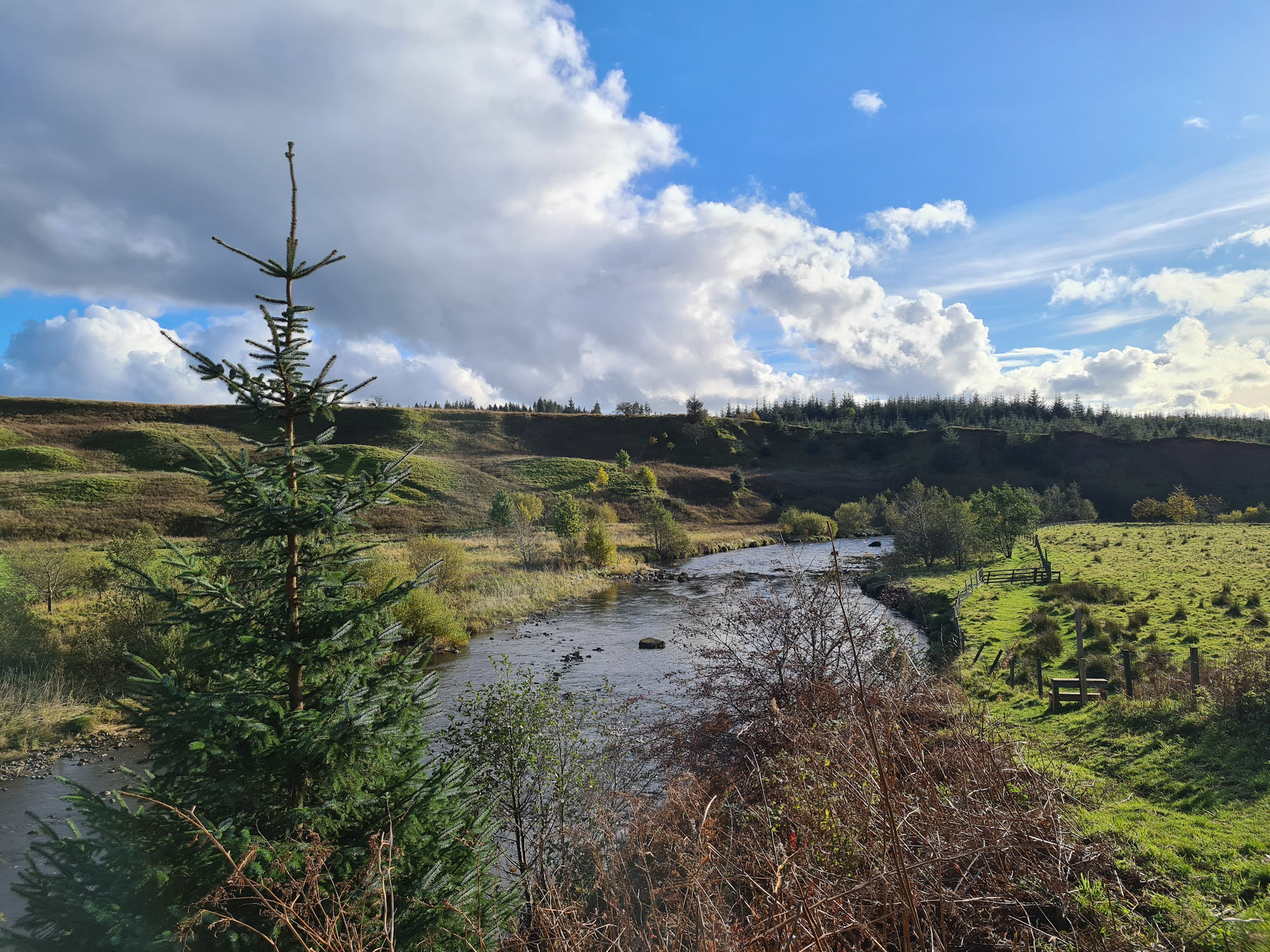
I don’t know why I was thinking of winter in the middle of autumn though! I suppose like most of us I associate these trees with winter and Christmas time. They do look stunning with snow covered branches and give me a magical feeling like ‘The Chronicles of Narnia: The Lion, The Witch and The Wardrobe’. This was one of my favourite books and movie from my childhood, and still is.
I reached a wooden stile that had no River Ayr Way arrows, so I checked the directions on Walkhighlands where it mentioned I would walk steeply onto higher ground.
As I stepped over the stile my legs now felt the effort. I saw what looked like a path behind me that went to higher ground, so I was a little confused about this.
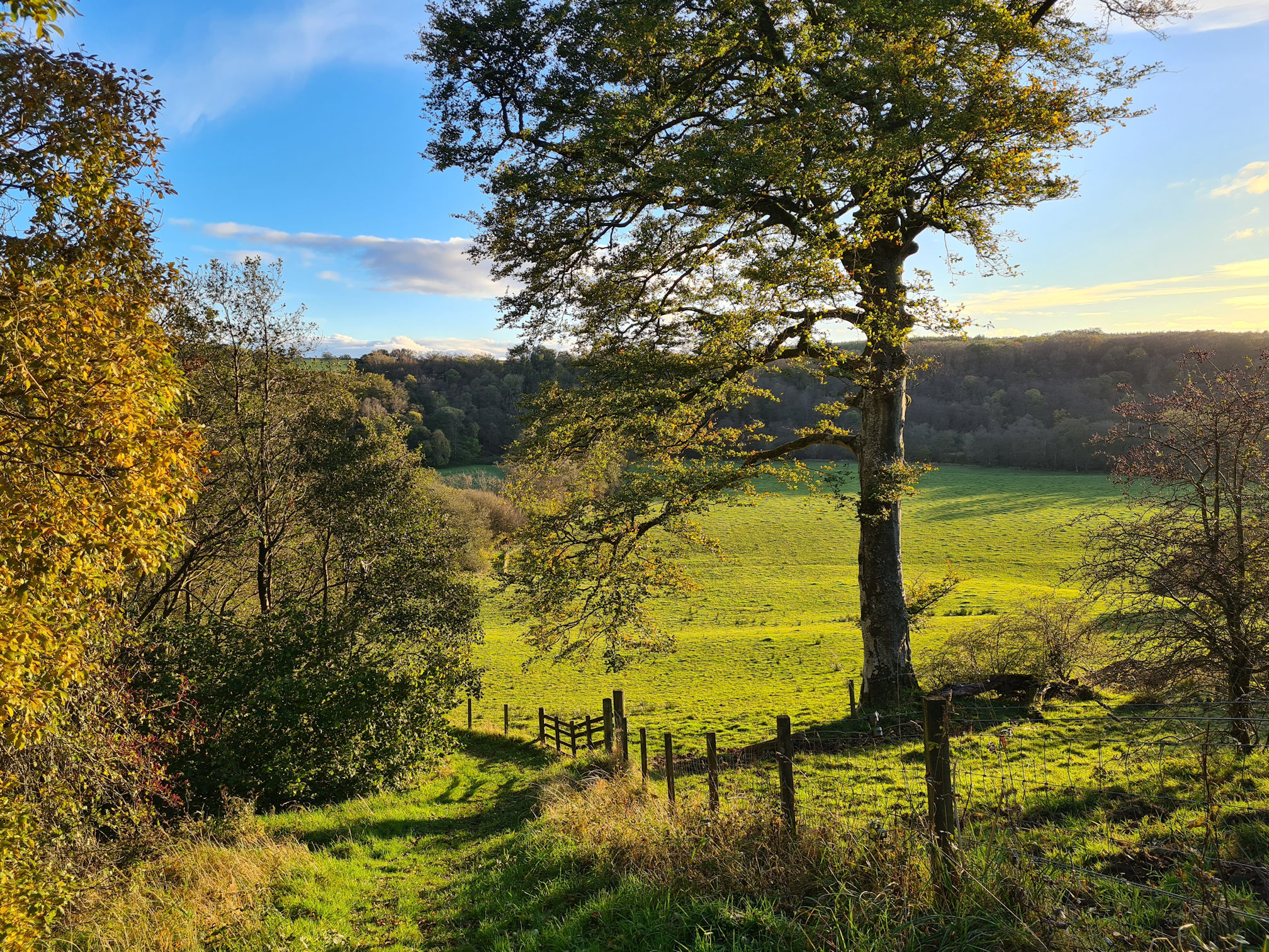
I decided to keep following the river though as this made sense to me. I should have carried a map! There was another wooden stile further along that took me back on to a grassy path beside the river.
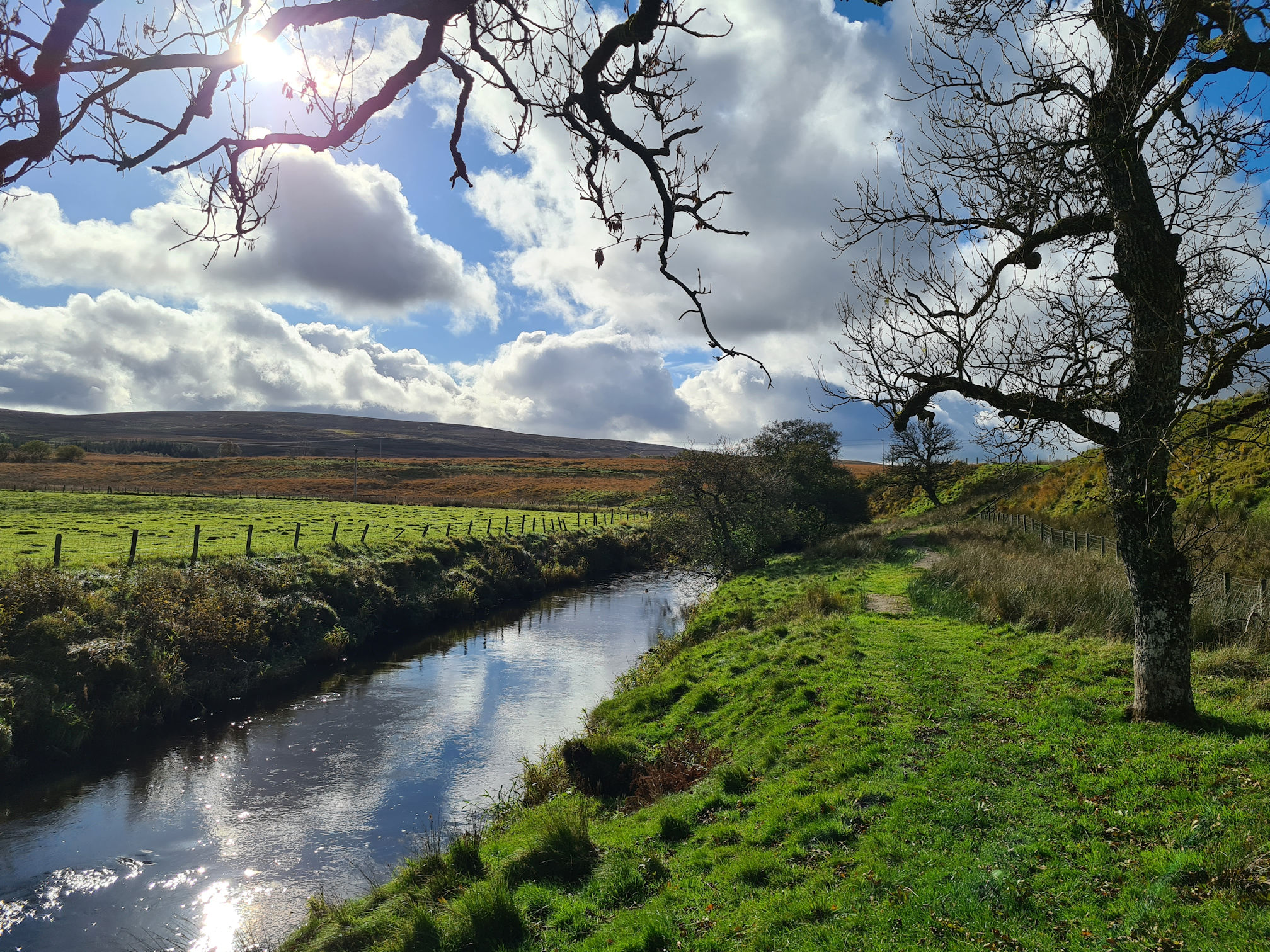
I could see I was slowly losing the light with our star the sun preparing to set and rise somewhere else in our world.
The grassy path came to an end with a large blue arrow for River Ayr Way pointing upwards to leave the river. I think the blue arrows are placed along the route for the River Ayr Way Challenge Ultra Marathon that takes place in September every year. I wouldn’t be running this in my lifetime, but what a gorgeous route if the weather is nice!
Phew, thankfully I was on the right path! As I took my first step up the hill I was ankle deep in a watery bog, but the ground was drier the higher I got. This makes perfect sense as the water will run off the hill and gather at the bottom.
I struggled hiking up the wee hill but stopped when I needed to. My legs were beginning to tell me they were getting tired, but they had to keep moving.
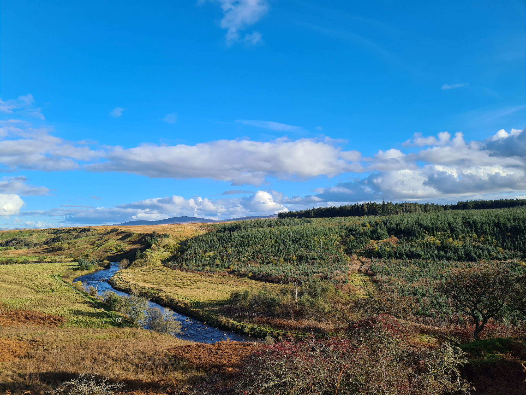
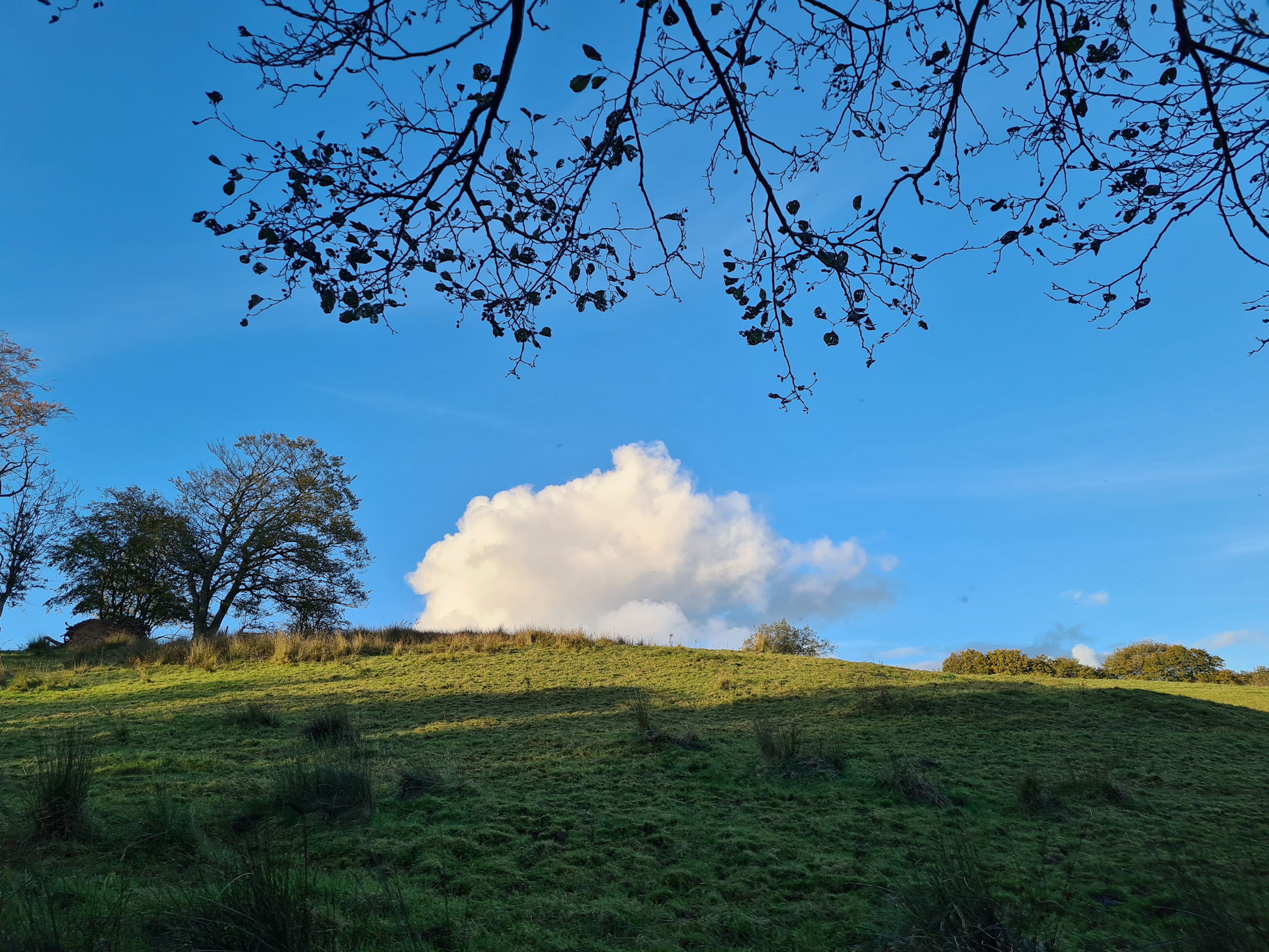
When I reached the top path and caught my breath, I had another emotional goosebump moment! I turned around to look at how high up I was and looked upon the most beautiful scene across Ayrshire.
I could see the peak of Cairn Table where I started walking today and the River Ayr was shining as it followed its own journey to the sea.
It was just me standing in silence in the middle of nowhere, and this deep feeling of happy emotions inside. Below is the same photo but zoomed in with my phone.
I really love the contours of the land and how the River Ayr meanders its way through it. I’d love to go back here and practise taking more photos with a better camera.
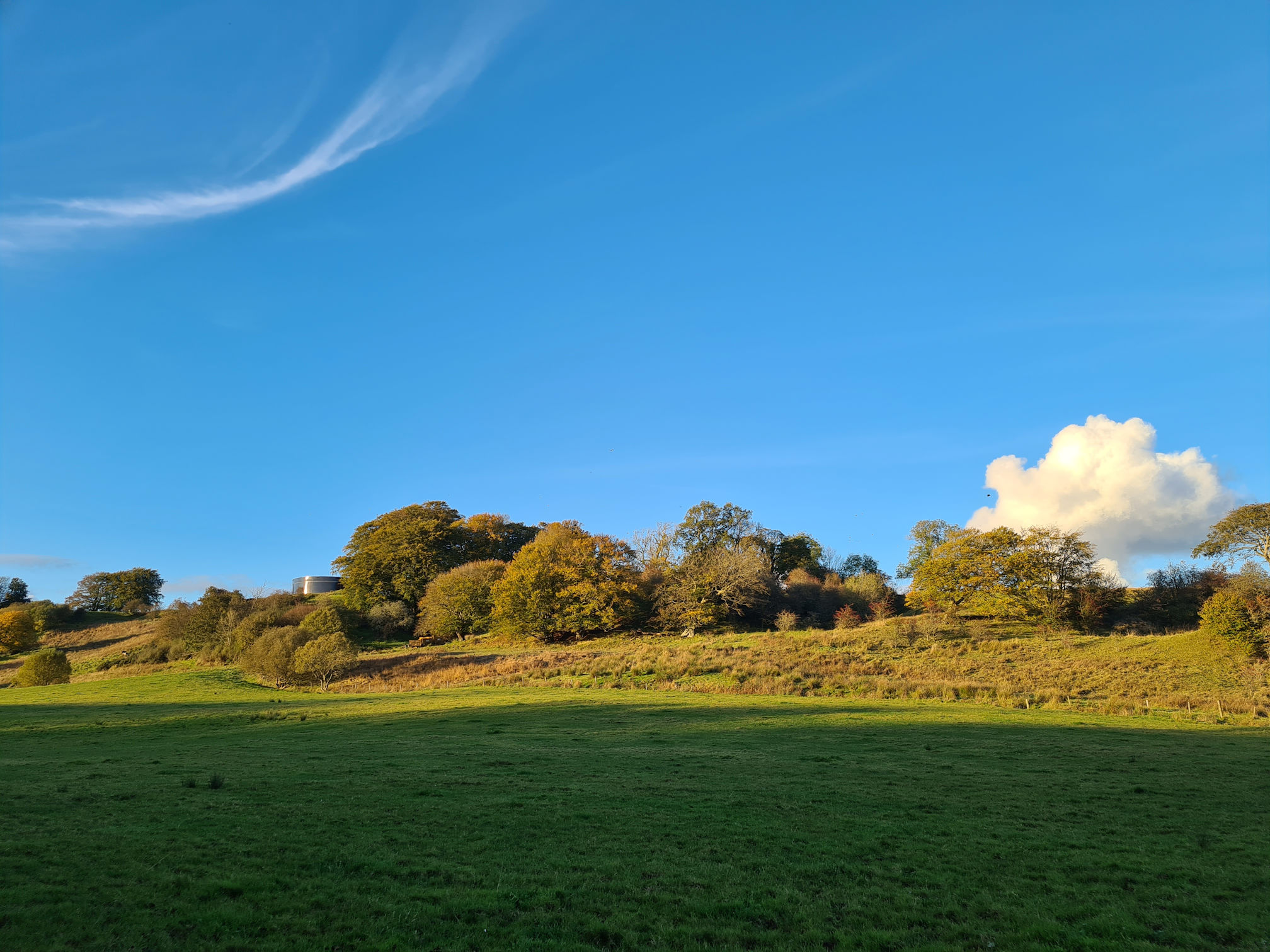
Ayrshire may well be the lowlands of Scotland, but it’s beautiful in its own right. This fine sunny autumn day has totally surprised me so far!
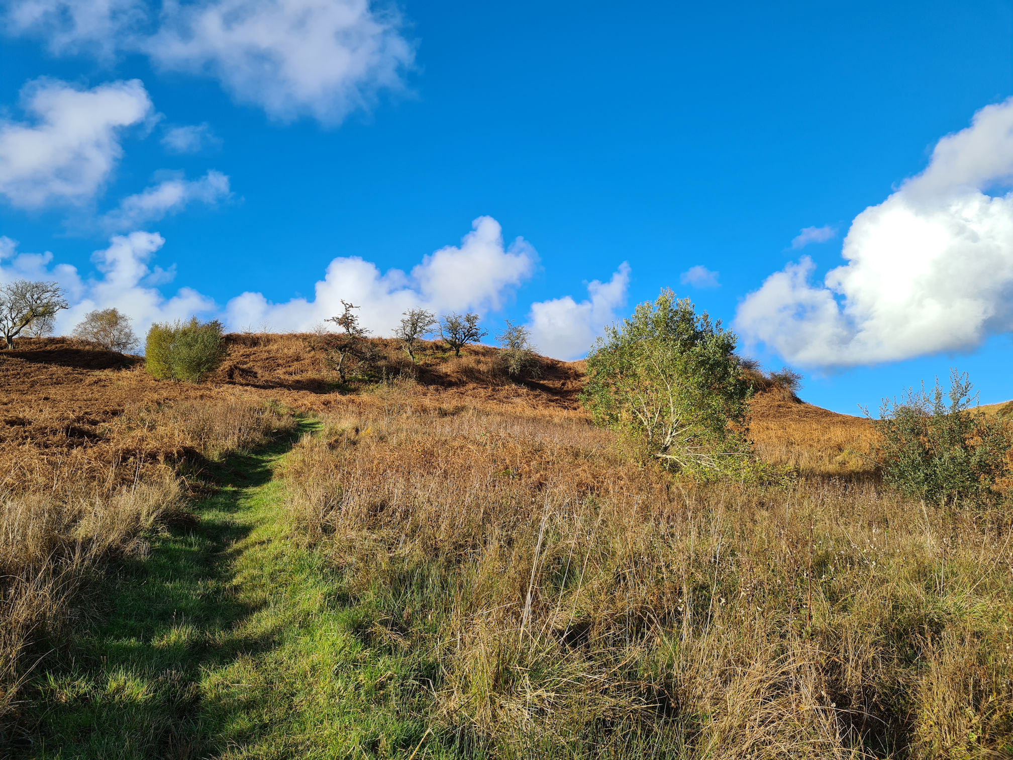
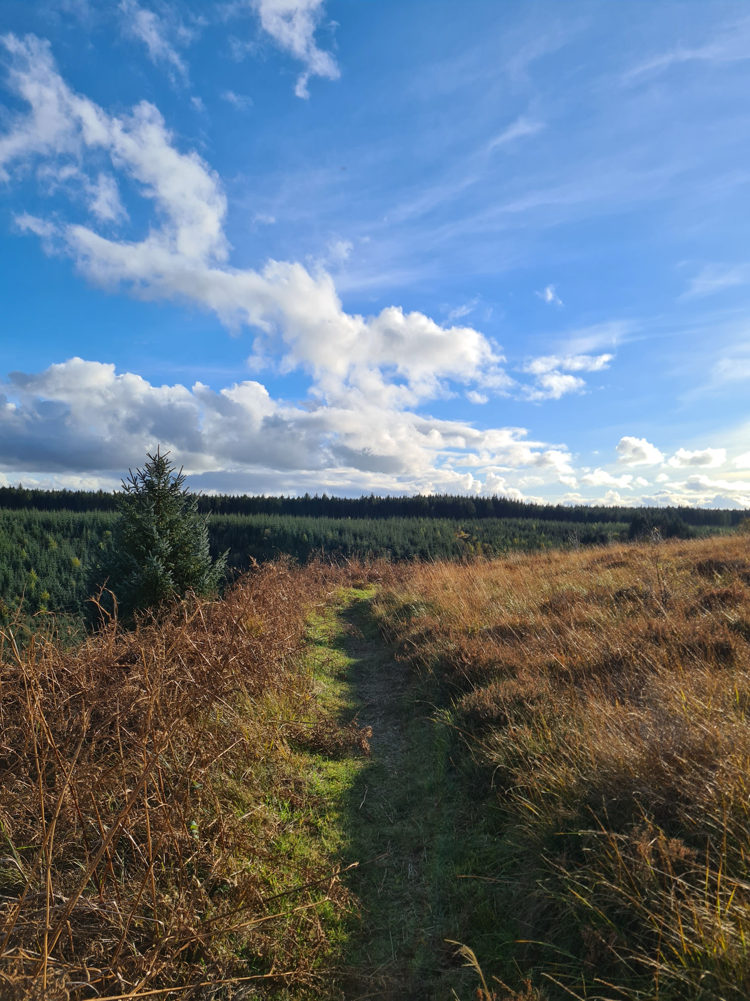
I was now plodding in between autumn fern and boggy bits across the moorlands. I still couldn’t see any River Ayr Way red arrows, but I was confident I must be on the right path, even though it felt remote.
At last signage reassurance appeared! I counted four red arrows and a wooden signpost, so there was no doubt this was the way to go…
The photo is a bit washed out from the glare of the sun, but I had to share this moment of visual relief!
A steep decline took me back down to the River Ayr and I was happy to see it again as I must be near Sorn now. Nope! My total distance from the start was around 10 miles (17 kilometres), so I still had at least two miles to go. This didn’t sound very long at the time.
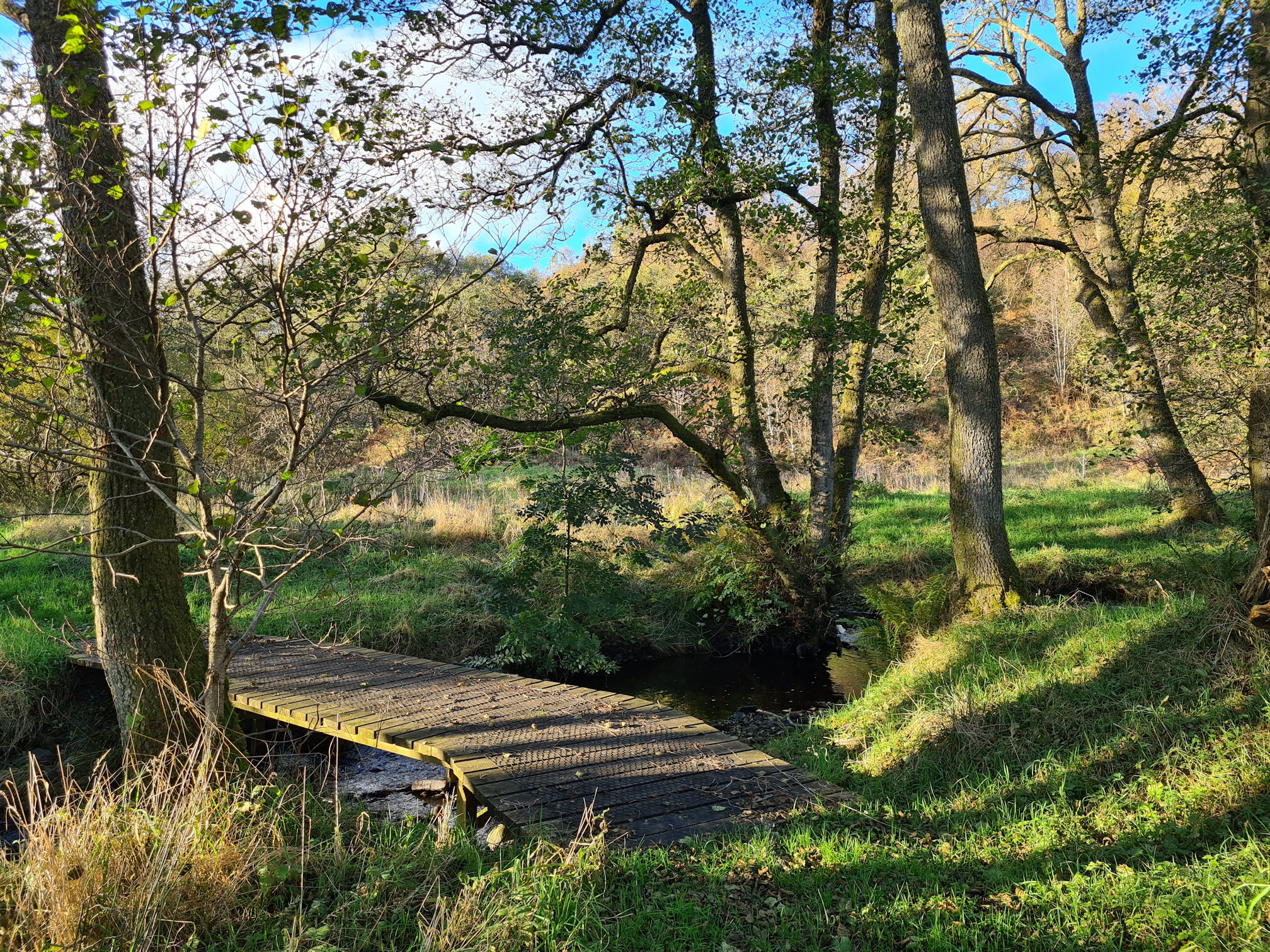
I stopped on a small wooden bridge across a burn and pretended to be a tree shadow. I’m lined up with the tree trunk. Can you tell it’s a person?
Like me and my shadow, you’ll be wondering if this blog walk ever stops … almost there I think!
This blissful board walk was sitting above the river and I loved walking along it. It went on for a longer distance than I expected as well.
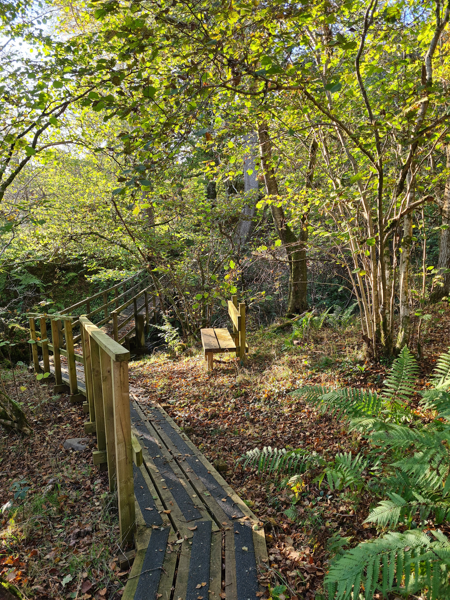
I walked slowly though as parts of the walkway didn’t have a fence and at this point my tired legs had the potential to trip up!
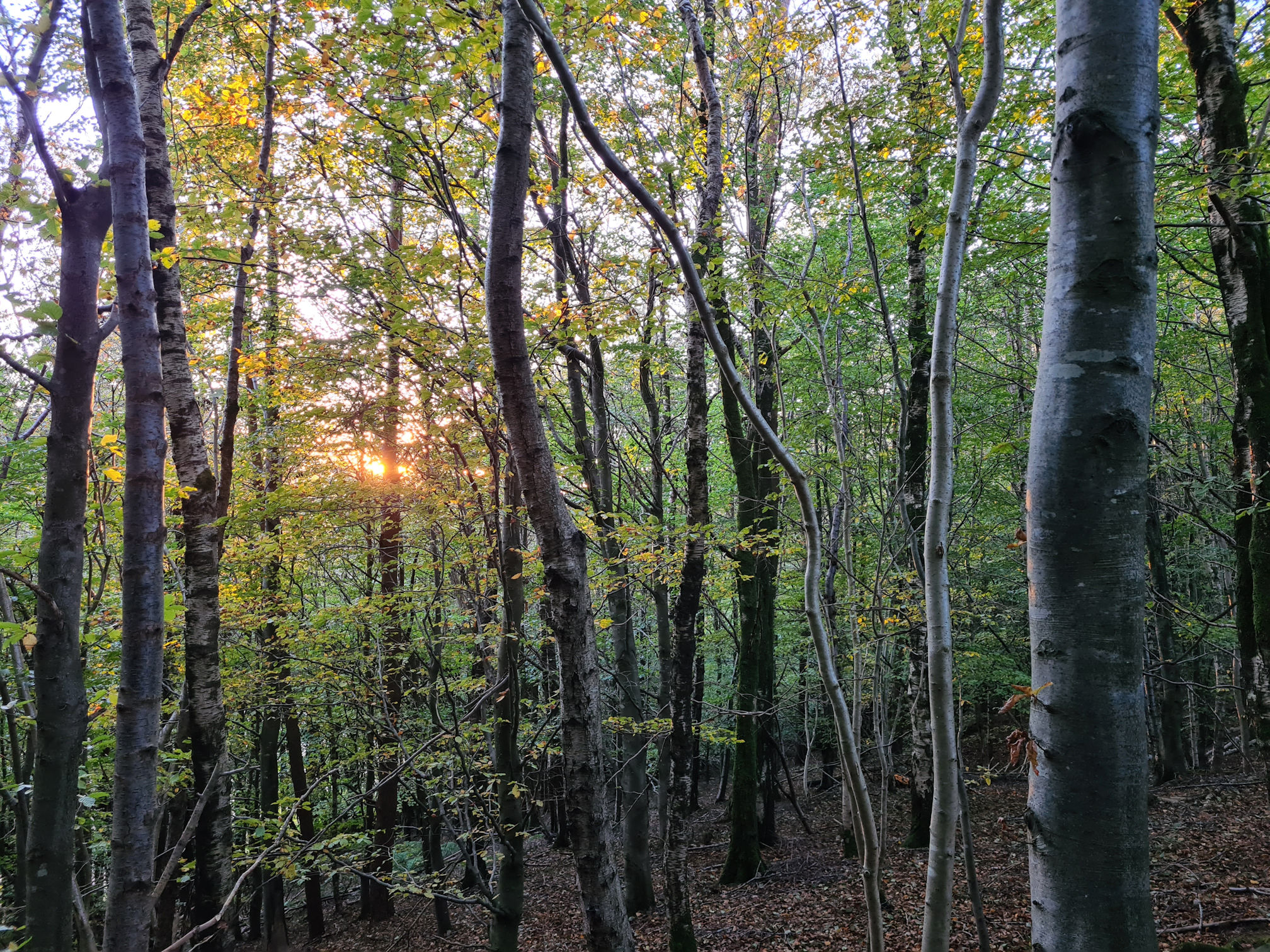
The light was changing into a warm golden colour, becoming less harsh. I know I keep saying the same thing … another beautiful moment. How dreamy is this!
I was still enjoying the walk, albeit wearying a little and also remembering I planned to pick up my daughter in Ayr about 5pm. Just then I received a text message asking when I would be there.
I knew I was going to take much longer and Alan was waiting for me in Sorn. He kindly picked her up, took her home and would come back to Sorn after that. Hopefully I’d be finished by then. This eased the anxiety building up inside me as I couldn’t walk any faster than I was already going.
I know I’m sharing way too many photos, but it’s for me to look back on as well. These photos show the warm golden hour and the contrast of shadows and light. The River Ayr was mostly in darkness though.
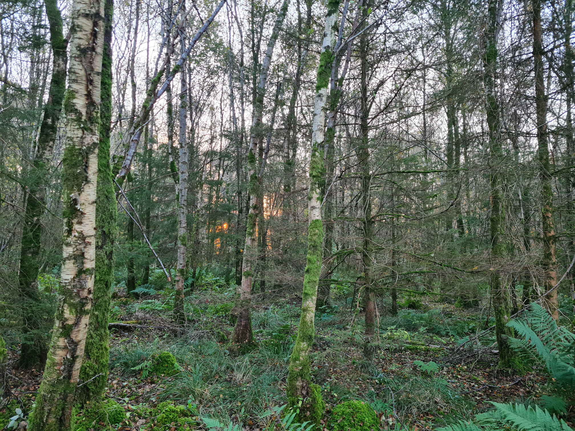
As I walked through the woodlands it was so dark with the occasional orange glow shining on and in between the trees. The photos actually look lighter than it really was! I passed a man and his dog, so surely I must be close to Sorn by now.

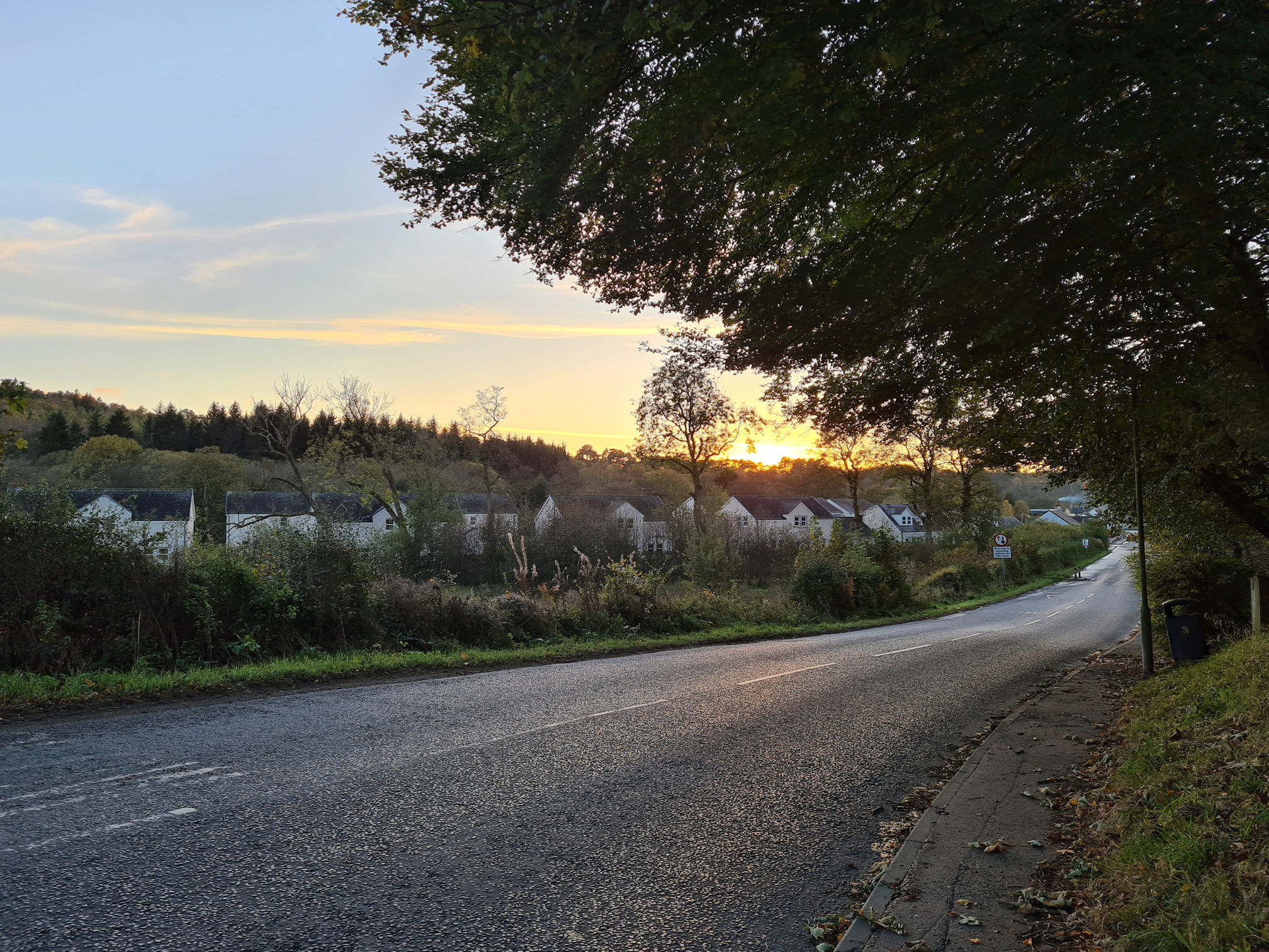
Sorn
Yay, I spy a road! I made it to Sorn!
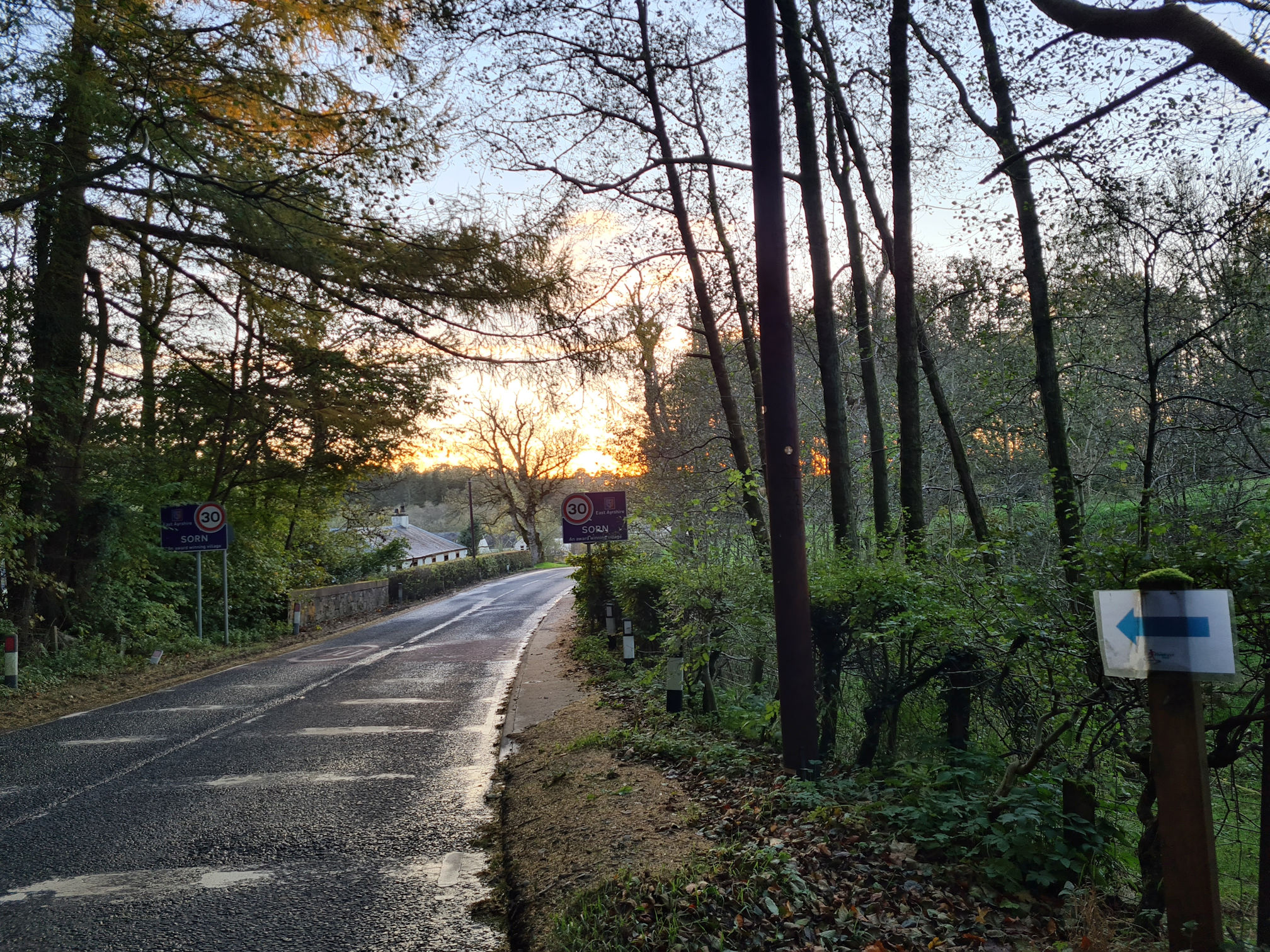
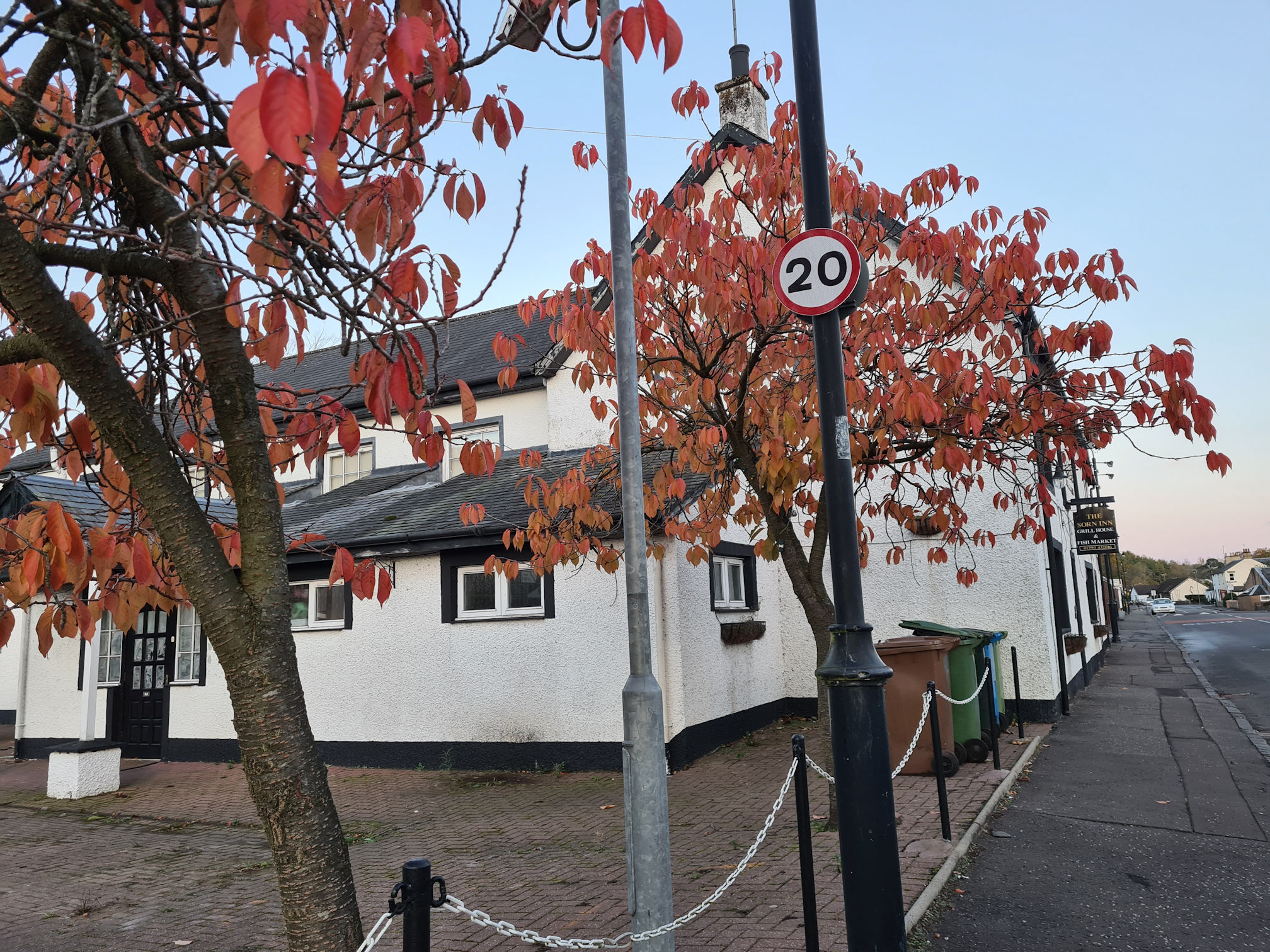
I still had to walk through the village though to meet Alan at Sorn Parish Church. I passed the Sorn Inn which would have been an ideal place to stop for refreshments, but sadly it’s permanently closed just now.
I shuffled my way through the village and reached the small lay-by across from Sorn Parish Church.
There was no car waiting though. As I waited in the darkness my legs were beginning to ache with pain as I’d stopped moving them. I slowly paced up and down the lay-by which seemed to help.
The Sorn Old Bridge below is where I start Part 2 of the River Ayr Way Walk: Sorn to Stair.
It felt like I was pacing for ages, but it was only around 15 minutes until Alan appeared. Gosh I was hungry as I didn’t eat or drink much at all on the walk. I was too distracted enjoying the scenery and taking photos and video.
I was going to say, “I jumped into the car”, but in reality that didn’t happen … I slowly lifted my aching legs and body into the car 🤣 and I was so happy! Alan bought me a sweet chilli chicken wrap and fries from McDonald’s. My body needed fuel and this was just what I was craving after walking the 14 miles my Garmin watch recorded.
What happened to my estimated 11 or 12 miles at most! My recorded distance and times:
- Distance: 14 miles (23 kilometres)
- Moving time: 6 hours, 18 minutes
- Elapsed time: 8 hours, 24 minutes
Wow, just goes to show how often I stopped! My legs took almost a week to fully recover, so maybe they weren’t quite ready for this distance.
It was honestly the most amazing walk through history and the beautiful Ayrshire countryside. Just me and my shadow.
My next story will be walking the River Ayr Way from Sorn to Stair in spring. It was another gorgeous day in Ayrshire!
Thanks for reading, I hope you enjoyed my story and photos. My video from Glenbuck to Sorn is below and also links to further information about this walk.
Love, Dawn-Marie x
River Ayr Way: Glenbuck to Sorn video
More information about this part of the River Ayr Way
- East Ayrshire Leisure: River Ayr Way
- Scotland’s Great Trails: River Ayr Way
- Walkhighlands: River Ayr Way
- Scottish Outdoor Access Code
- Ayrshire History
- Muirkirk Enterprise Group: Muirkirk’s Covenanters
- Muirkirk Enterprise Group: Isobel Tibbie Pagan
- New Cumnock History: Polquhirter and Tibbie Pagan
- Scottish Covenanter Memorials Association: William Adam
- East Ayrshire Council: Opencast coal restoration works

Brilliant.
LikeLiked by 1 person
Thank you, I’m pleased you enjoyed it 😀
LikeLike
Thanks for your post. The reference to your school trip at age 7 is interesting. It seems that so many of us who love the outdoors had exposure to it early in life. It emphasises the need to give the current generation of children the same sort of experience.
LikeLiked by 1 person
Age 11, sorry. Mistype!
LikeLiked by 1 person
Hi Phil, thanks for reading 😀 Yes, I totally agree. I was always outside playing or going on country walks when I was young. Outdoors was my playground. Mind you, I remember the Scottish weather being more sunshine than rain back then, and my mum would always tell us to go outside and play.
LikeLiked by 1 person
Thanks for the great descriptions of your walk!
LikeLiked by 1 person
Thank you for reading, so happy you enjoyed it 😀. It’s definitely one I won’t forget. It was beautiful 😍.
LikeLike