Last year in July 2015, we visited the beautiful Isle of Arran again and our plan was to find some new walks. We bought a pocket book ‘Arran: 40 Favourite Walks’ by Phil Turner and picked a few to explore on our visit.
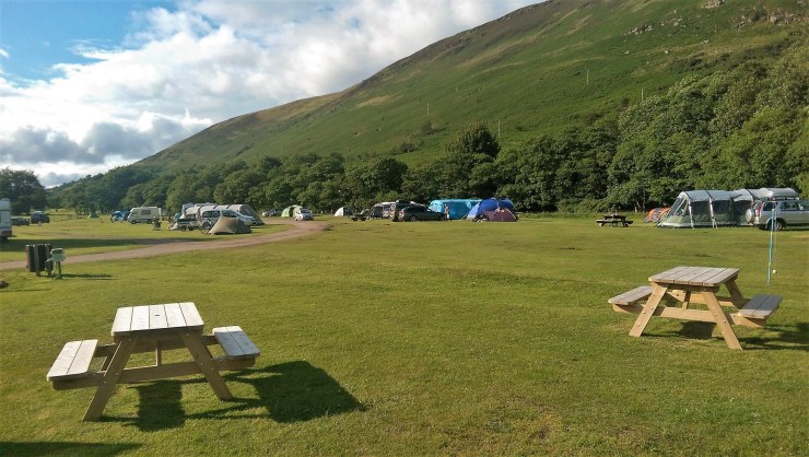
Lochranza campsite
Our home for three nights was the lovely quiet Lochranza campsite. The site is located in the north of the island, about 14 miles from Brodick and is close to the Arran Distillery and Lochranza Golf Course.
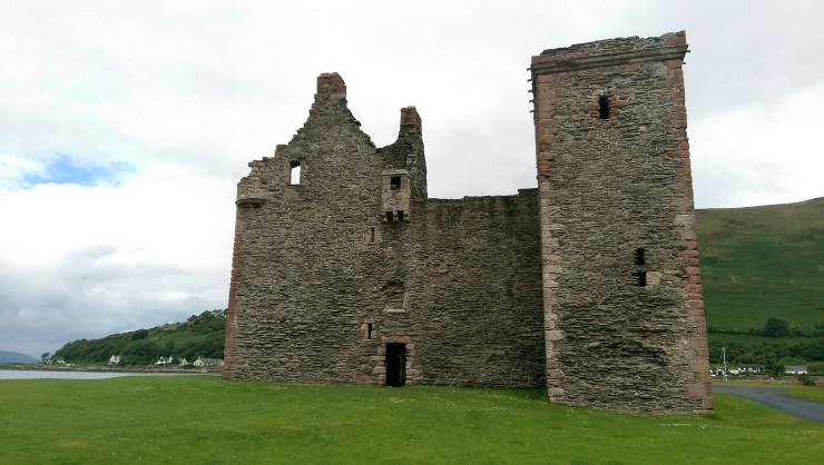
A short wander down the road will take you to the ancient ruin of the 13th century Lochranza Castle. If you fancy a day trip across the water you can also jump on the ferry from Lochranza ferry terminal to Claonaig on the Mull of Kintyre.
We visited Lochranza before on our first visit to Arran, but this was the first time we’d camped on the island. Our beloved tent stayed at home this time as we booked a camping pod with electricity and a heater. Sounds more like glamping!


I really loved the pod, especially at night when the rain decided to visit us. It was cosy and all of our camping gear stayed nice and dry.
Don’t get me wrong, I love listening to the rain battering on our tent and we can get really cosy too, but the thought of possibly packing away a wet, soggy, dirty tent just didn’t appeal to me that year.
I often wish there was a place we could go that was indoors, pitch up, clean up, dry out, ready for our next trip. Or some kind of large blow dryer for our tent would be helpful.
Urie loch hill trail
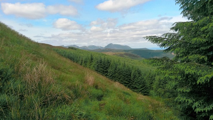
Urie loch was one of the new walks we wanted to explore. We read it was a two mile uphill hike to the loch and should take just over three hours return, depending on our pace and how often we stop. There’s no rush remember!

It’s exciting finding a new walk as I love the feeling of exploring the unknown. As I say that, it’s unusual that I feel this way as under different circumstances like home or work, the unknown can be quite daunting!
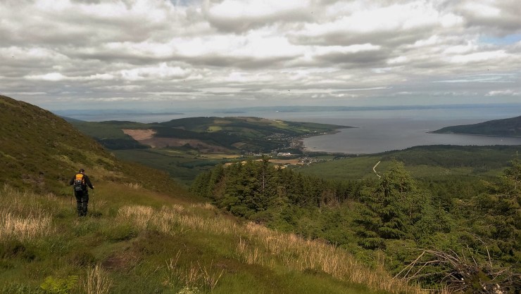
We travelled by car from Lochranza to the south of Lamlash where we turned off onto the Ross Road and found the entrance to the woods. The turn off wasn’t that far up the road and we were greeted with a little woodland car park. Easy free parking!
So off we went following the path and the signs for the loch.
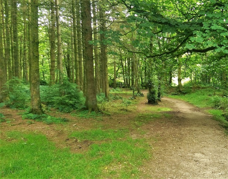


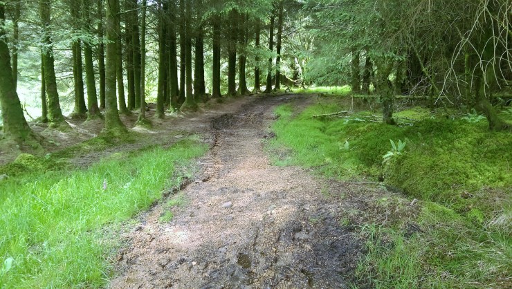
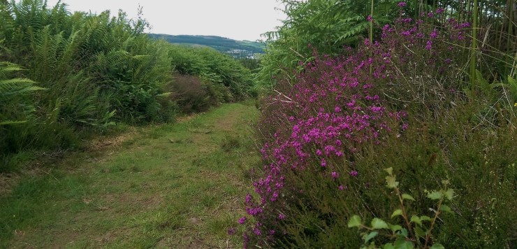
I loved this part of the walk even though it was muddy. It reminded me of the Giants’ Graves walk before the conifer trees were felled. I was always sad that happened, but now I had found a replacement.
Whilst walking up the muddy path we met a couple heading back down from the loch. We said hello and started chatting. The couple were in their mid 60s and still very active and loved walking. They mentioned another beautiful loch walk we should try on the island called Coire Fhionn Lochan. We knew of this walk already and were hoping to visit, but unfortunately time was not our side that week. We will come back soon and visit Coire Fhionn Lochan. It’s supposed to be a beauty!


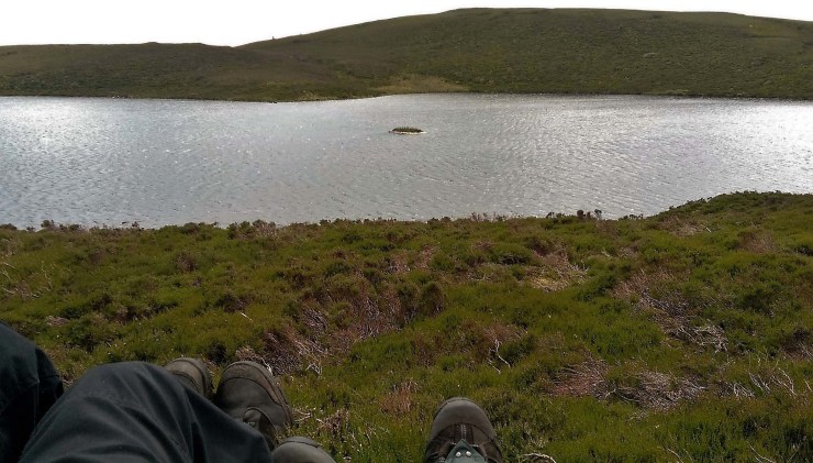
When we finally reached the top we could see the loch sitting further down the hill.

Again, the views were just wonderful. It always surprises me how the shapes of the Arran mountains look familiar but yet so different from another angle.
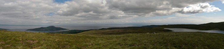


After a few photos and fighting against the wind, we wandered down to the loch where it was a little more sheltered and sat for a wee while with our backs against a rock. We ate our snack, kept warm with a blanket and rested.
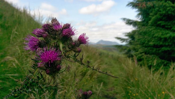
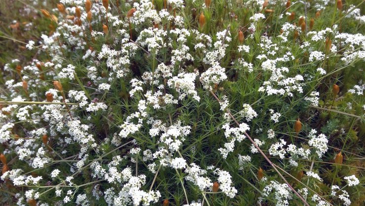
After a while we made our way back down, admiring the views and the beautiful wildflowers along the way.


We saw signs for the Lagaville trails that take you on a walk through the beautiful woodlands, with waterfalls, small gorges and the remains of a village that was abandoned in the late 18th century. So we took a detour to have a look.
Heading back up another hill we came to a very picturesque wildlife pond. I read that this was dug out in the mid 1990s. We found a wee seat to rest our weary feet, it was so tranquil, a lovely place to sit and ponder.


There was a path around the pond so we looked for the remains of the Lagaville settlement but all we could find was a green-topped post with Lagaville Village written on it … the area was overgrown with nature, there was no remains of a village that I could see.
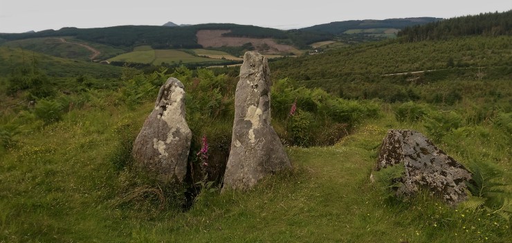
I was a little disappointed as I expected to see some evidence of the concrete sort, but a short detour up another hill took us to a chambered cairn called Meallach’s Grave, a neolithic burial site similar to the Giants’ Graves. There was a lovely view from the hill and it felt quite peaceful.

I really loved this day out hiking up to the loch and exploring the Lagaville trails. A truly beautiful place.
We visited the mysterious Machrie Standing Stones again on this visit, one of my favourite haunts! We also walked up Glen Sannox so look out for another post on this beautiful walk.
Thanks for reading.
Love, Dawn-Marie x
