Could I walk a long distance walk, solo, and not get lost? Would my rusty legs carry me over the miles? These were the thoughts running through my mind when I planned to walk the River Ayr Way in Ayrshire …
The main reason for me walking this route was to ease my legs into training for the Glasgow Kiltwalk 2023, but it also turned out to be a surprisingly beautiful walk showing me places in Ayrshire I’d never seen before. I did of course choose my walking days wisely by checking the weather forecast hoping for a dry sunny day, which isn’t guaranteed in Scotland any time of the year!
The River Ayr Way is Scotland’s first source to sea walk and is listed as one of Scotland’s Great Trails. Stretching from Glenbuck Loch to the sea at Ayr, it covers around 41 miles (66 kilometres), mostly following the flow of the River Ayr across East Ayrshire and South Ayrshire.
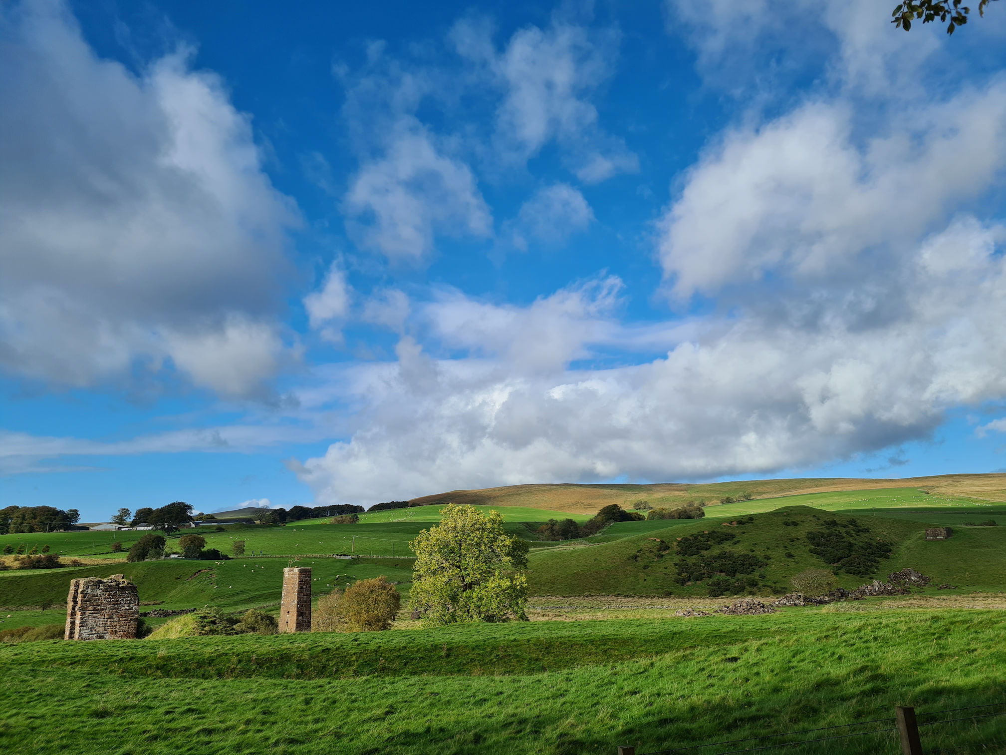
Think rolling hills, moorlands, beautiful peaceful views across the Ayrshire countryside with historical stories to tell. Curious sheep, cows and other wildlife if you’re lucky to have a special moment in time. The river views and reflections light up in the sunshine, also home to graceful herons and funny ducks paddling through deep river gorges in breathtaking Ayrshire woodlands where ancient trees thrive. Oh, and lots of unique bridges throughout the whole walk! Everyone’s experience walking the trail will be unique.
I wouldn’t have tried to walk the remoter areas of the River Ayr Way before as it’s complicated getting there and back using public transport. There’s no service at all in some places with no accommodation in the remoter areas, unless you are wild camping. I wasn’t keen on walking to my finish point, then walking back the same way. For me, this walk was about following the flow of the River Ayr to the sea.
I would have loved both myself and Alan to share the memories of this walk, but we would need two cars, one at the starting point and one at the finishing point. We only have one car, and I don’t like to ask friends or family to help out as they are enjoying their own weekend after a hard-working week.
I would need to walk it alone, I thought. Alan could drop me off at my starting point and pick me up wherever my legs decided to finish. I was a little anxious though as my navigation skills are not the best!
I split the River Ayr Way walk into three sections, following directions on Walkhighlands: River Ayr Way:
- Glenbuck to Sorn – I walked this over two different days in October 2023
- Sorn to Stair – I walked this one day in April 2023
- Stair to Ayr – I walked this one day in May 2023
Glenbuck to Sorn is a longer distance at around 17 miles (27.25 kilometres) so I had to split this into two different days. Even though I walked the route in the wrong order (2, 3, then 1 above), I’ve decided to write my blog stories in the correct walking order.
Glenbuck Loch
On 15 October 2023, I checked the Met Office weather praying for autumn sunshine so I could walk this section before the dark winter nights were upon us. It was looking promising, so Alan dropped me off near Glenbuck Loch.
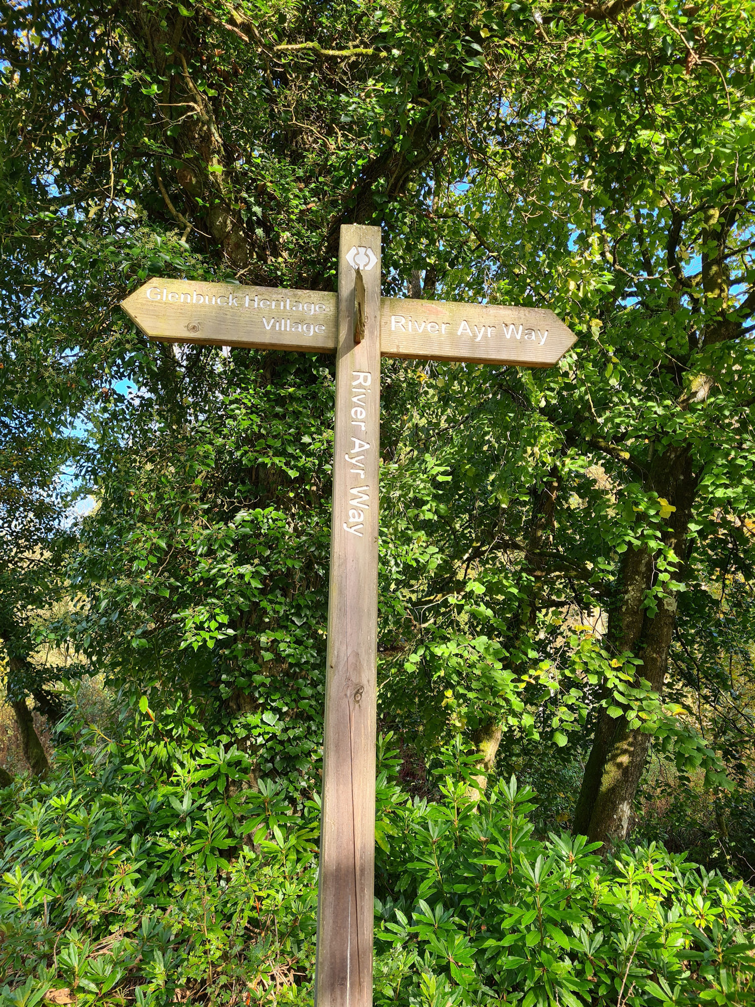
We couldn’t park at the start of the walk as the access gate was closed to cars. Seemingly no parking is allowed at the start, so we stopped at a River Ayr Way signpost near a small bridge where the Stottencleugh Burn flows into Glenbuck Loch. I would need to walk the rest of the way to the start, then come back the same way. Alan said he would wait until I pass him before driving away.
I followed a road uphill not knowing how far I had to walk to the starting point but quickly reached the River Ayr Way Sculpture which I’d read marks the beginning of the River Ayr Way. I think this is where the parking area used to be, but not now.
This large monolith shaped sculpture is made of cast sand from Ayr beach, with its twin at the finishing point made from cast coal dust from an opencast mine at Glenbuck. The two sculptures are aligned with each other at 78 degrees east and 258 degrees west.
As I walked around the mysterious sculpture, Stanley Kubrick’s ‘2001: A Space Odyssey’ movie came to mind. Thankfully there were no apes jumping and screaming around the monolith like the movie! It was peaceful. I loved standing there.

I saw a River Ayr Way red arrow pointing in the opposite direction down towards the loch. I knew I should be walking back the way I came from the sculpture though. I carefully negotiated the worn wooden steps and wobbly rail, then turned left down towards the loch.

After walking a little further along the loch I was confused and felt like I shouldn’t be here, so I walked back to the car to ask Alan to come with me to the starting point as maybe between the two of us we could work it out… Alan mentioned a Hide in conversation when I was half listening, but I didn’t realise he was talking about a Wildlife Hide hut on the loch.
I didn’t want to miss anything, and I seemed to have a touch of OCD (Obsessive Compulsive Disorder) about making sure I cover the official walk. My brain still couldn’t understand why I had to walk beyond the starting point and then back the way I came.
This time I kept walking alongside the loch hoping to see the Hide, which is also named as the starting point. Even though I was becoming a little anxious about what way to walk, I was already falling in love with this beautiful place and planning to return.
I visited again a few weeks later so I could capture better photos and video footage, so you will see a slight seasonal change in the scenery below.
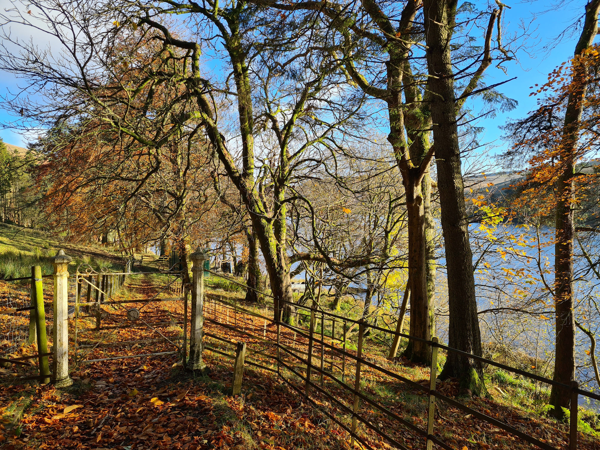
Following the trodden path alongside the loch we reached small huts which belong to a private fishing area for Muirkirk Angling Association. The views across the loch are so pretty as you can see.

Glenbuck Loch borders with South Lanarkshire and East Ayrshire and it’s also a Site of Special Scientific Interest (SSSI) as it has fossilised fish in its water.

The loch was formed in 1802, creating a reservoir with the construction of two dams to ensure a constant water supply to power the cotton mills in the village of Catrine around 19 miles (30.9 kilometres) away along the River Ayr Way walk. Wow, that’s what I call managing the way of water!
It’s advised not to swim here because of sheer drops hidden in the deep water, strong weeds that reach the surface and freezing temperatures. It’s best to be sensible, stay safe and enjoy the views from the land.


After the fishing huts there it was, the Wildlife Hide perched prettily on the loch.
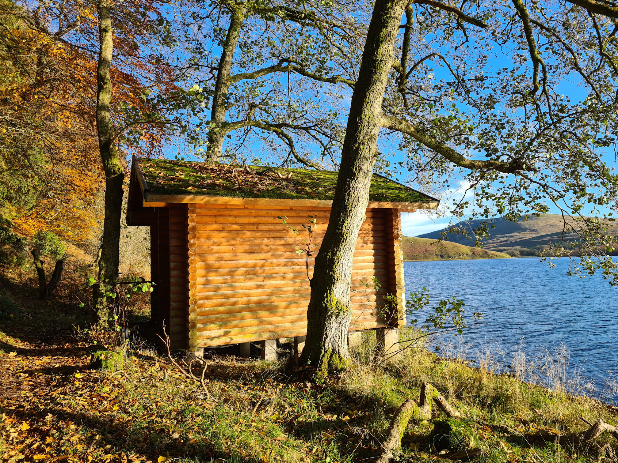
On my first visit here, the day I started the walk, it was a reasonably sunny day then within half an hour heavy rain fell from above. I couldn’t believe how quickly the weather had changed, and the temperature. These are two video clips for comparison:
We both walked into the Wildlife Hide and stayed for a little while to shelter from the heavy rain. It was calming listening to the rain fall on the Hide roof and the swans on the loch seemed to be enjoying it.
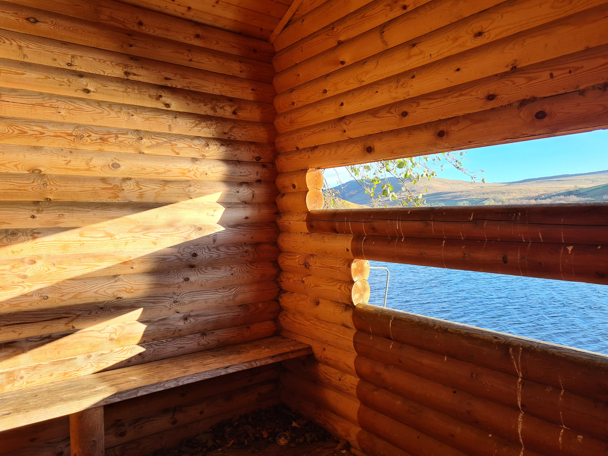
Inside the Hide, a Glenbuck Wildlife information sign lists wildlife you might see in this area and a few trees.

On my second visit here, the sun shone magically through the viewing windows in the Hide. I could have easily wasted time here watching the sun shimmer on the wooden walls and looking out across the loch.
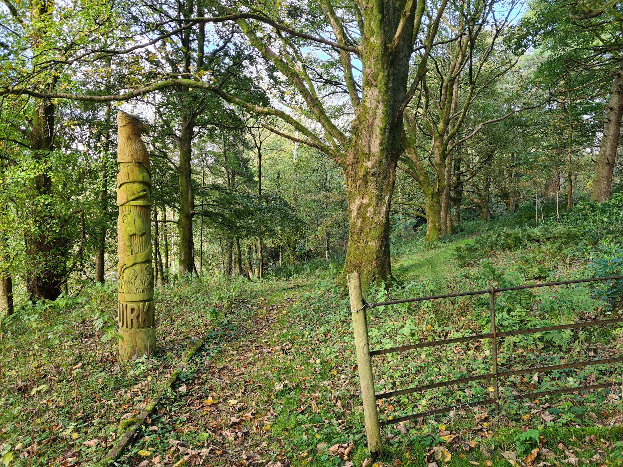
We walked back the way we came, and I then noticed a wooden Totem Pole near the bottom of the worn steps we came down earlier. I can’t believe I missed this. This is one of three totem poles in Muirkirk, the other two are in the village. Each pole tells a story of Muirkirk both past and present.

I thought this was the way to go and the beautiful old trees were shimmering in the sunlight, pulling me to walk this way rather than back up the steps.

It turned out the path was very short and took me back up to the area where the sculpture was. Gosh, I felt like I was going around in circles and spent so much time here that I almost gave up doing the rest of the walk. It was 12:30pm and I also thought the unpredictable rain would spoil my day for taking photos and video.
Once I was happy that I saw everything for the start of the walk, we walked back to the car and I decided to continue walking. Even if it was just a shorter walk today. Alan would wait for me further along the trail at the Kames Walkers’ Car Park in Muirkirk.
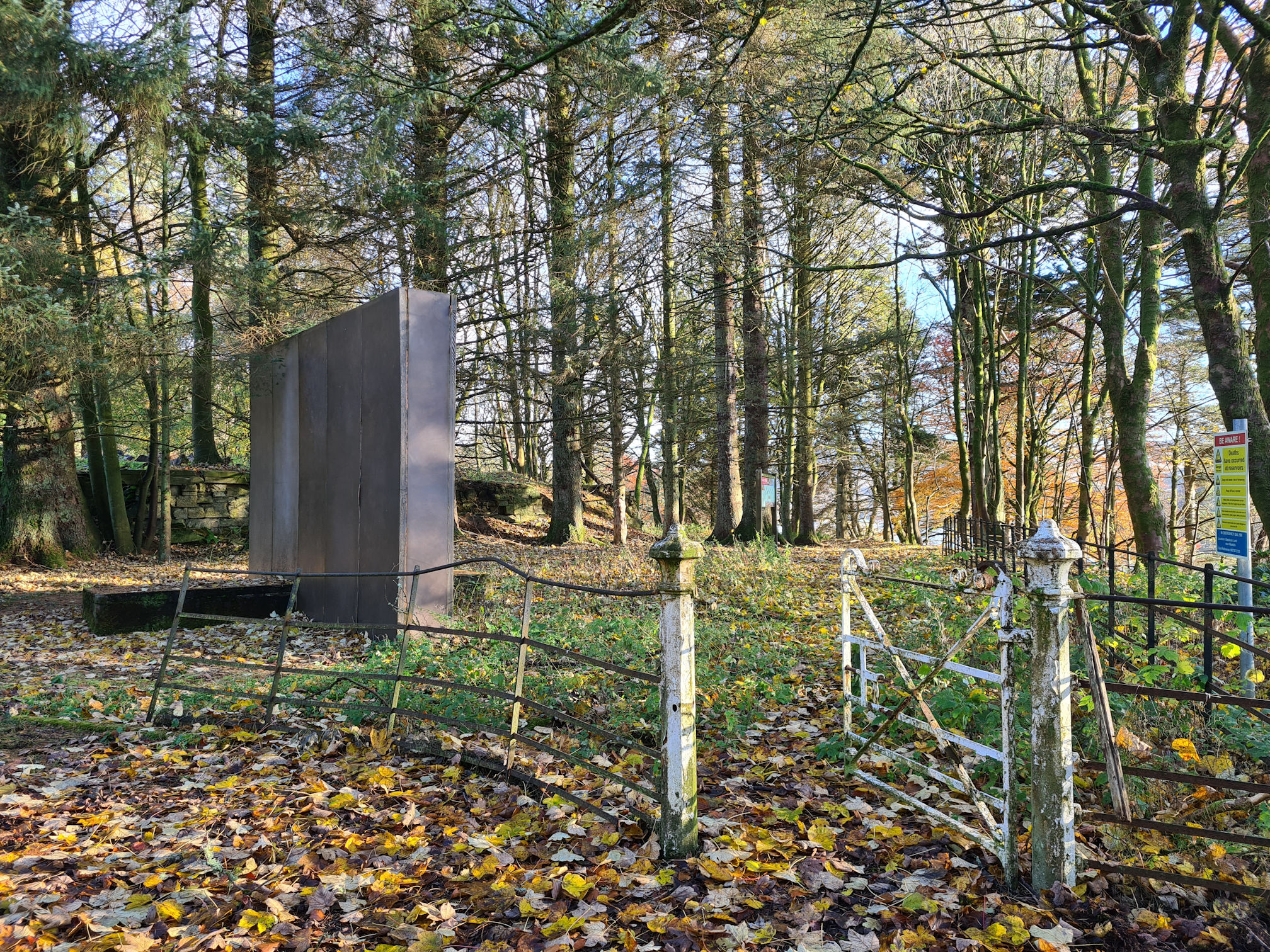
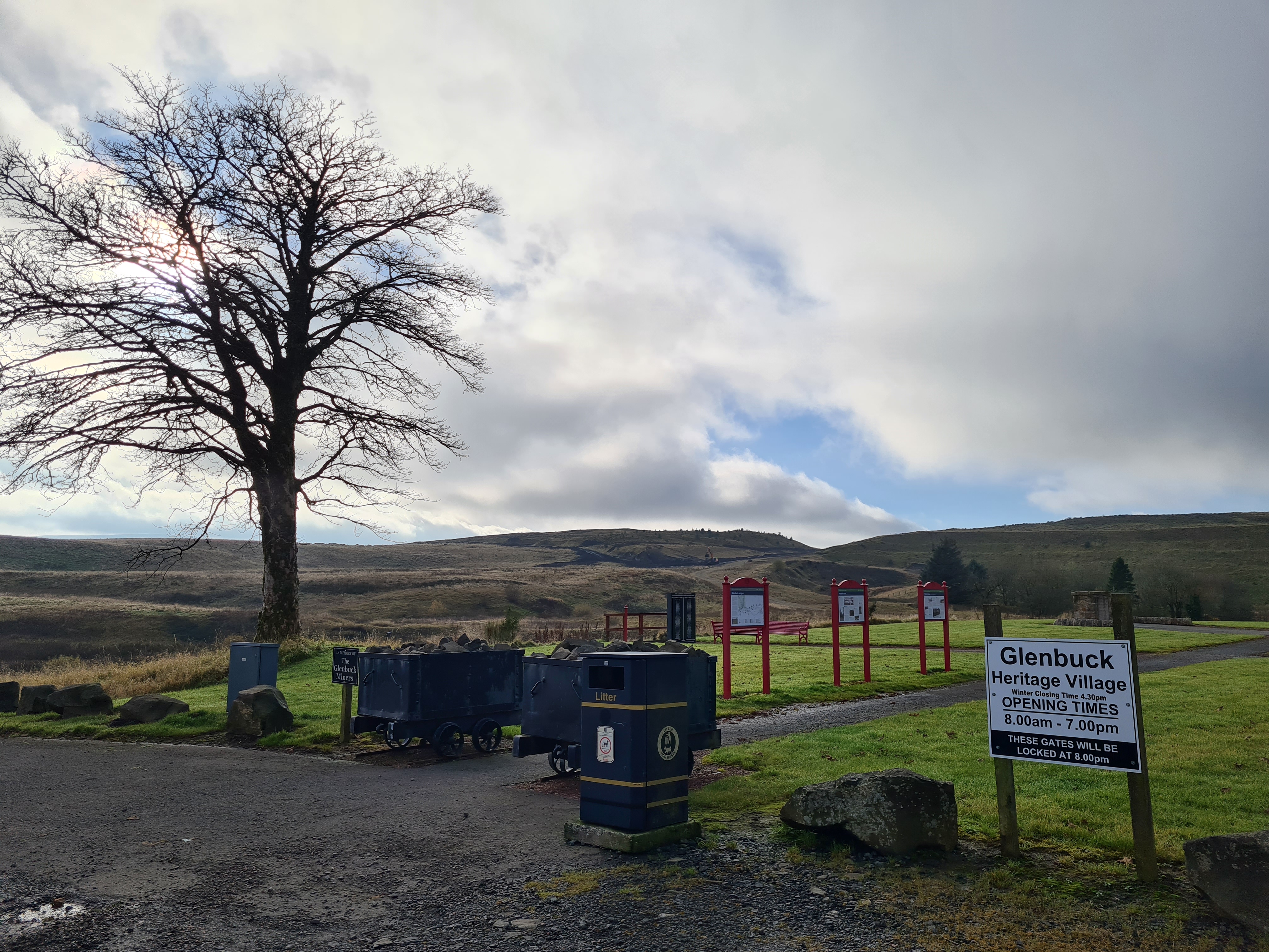
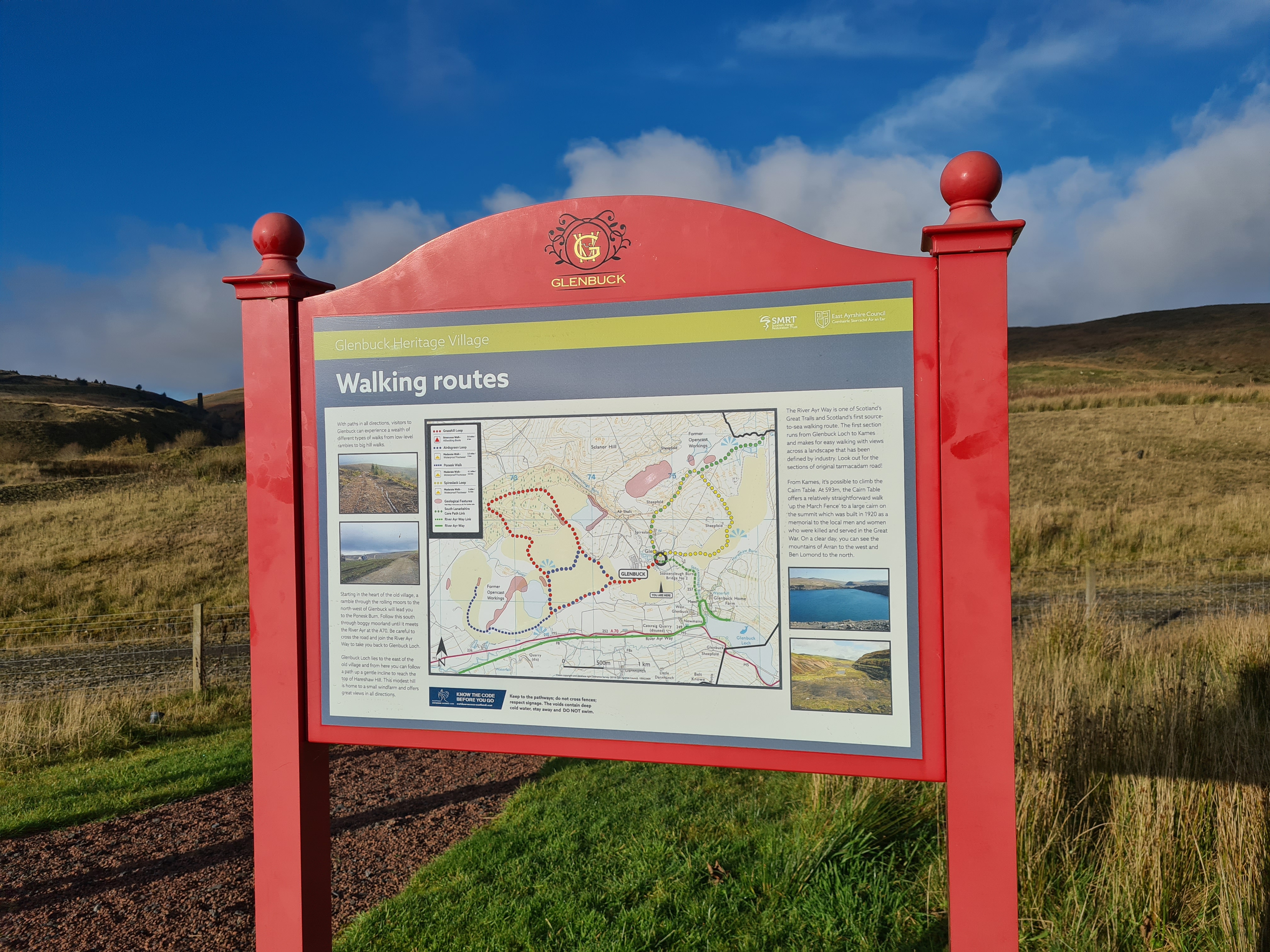
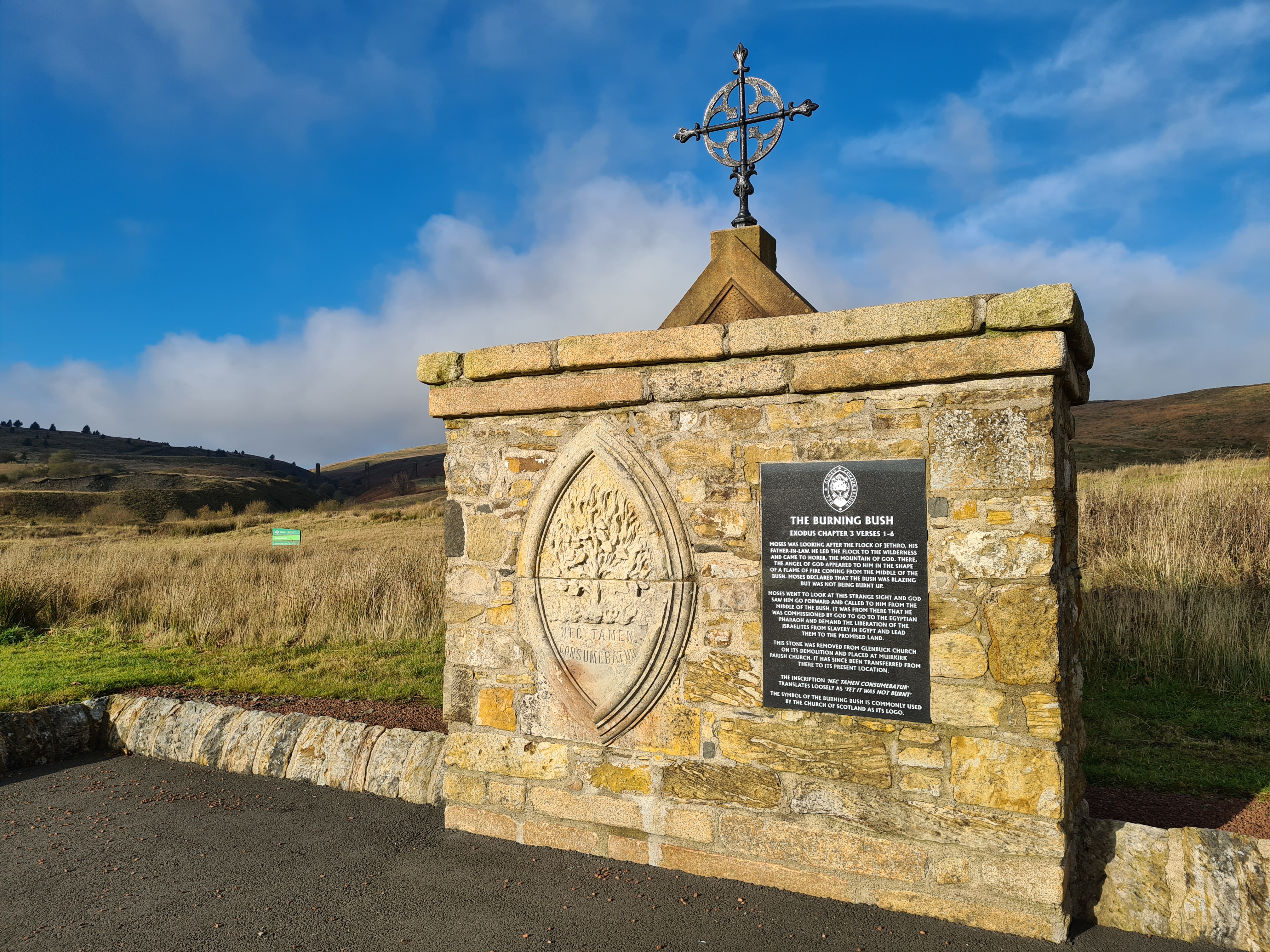
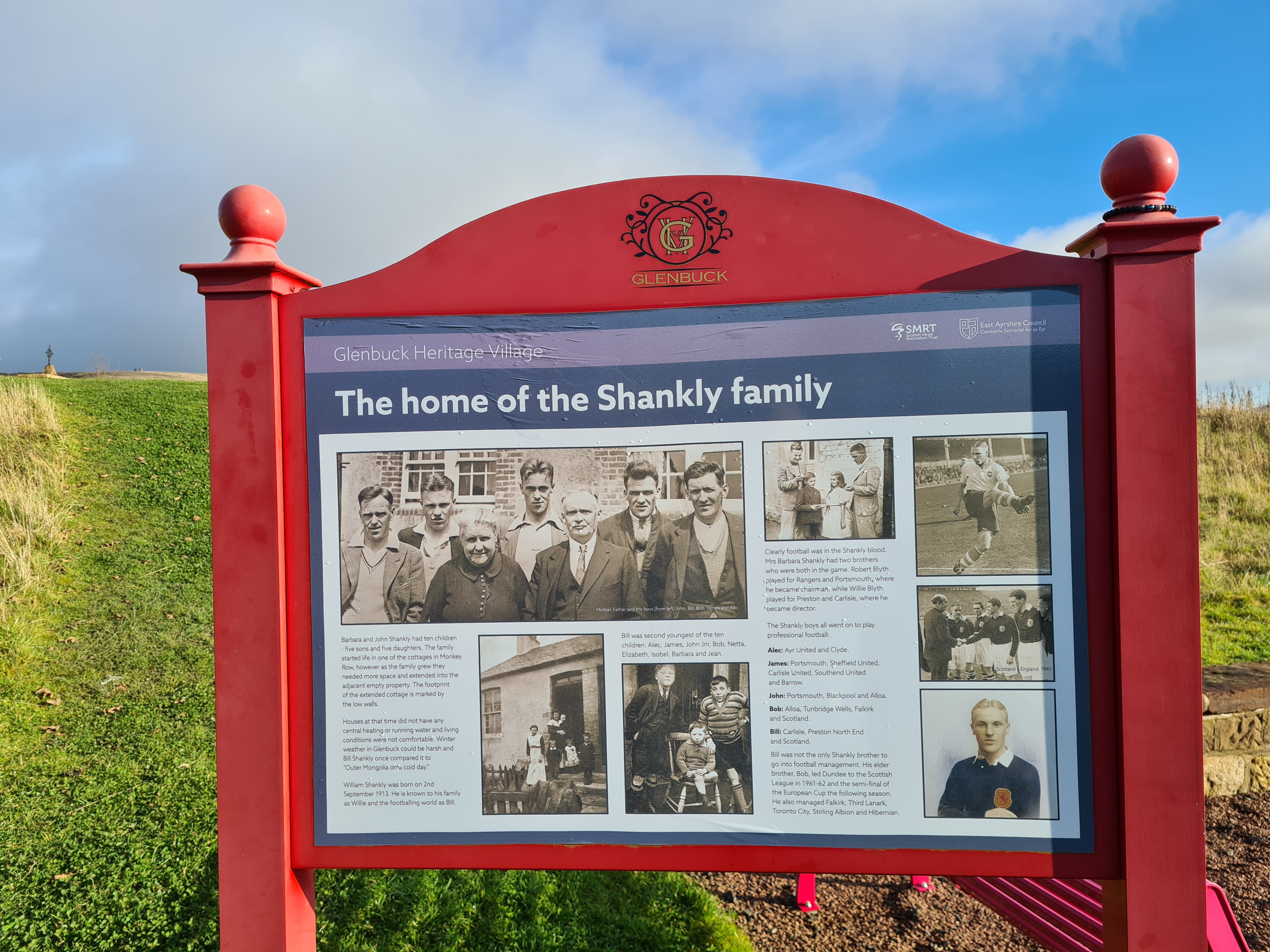
Glenbuck Heritage Village
Oh, before I go on, I should mention the nearby Glenbuck Heritage Village site further up the hill. There’s plenty of parking and a few walks in this area to try as well.
There’s nothing much left of this remote former mining village, but it’s a beautiful memorial that has interesting monuments and information about the history of the village, including the people who lived and worked here. It’s also the birthplace of Bill Shankly, a famous Scottish football player who was well known for his time as manager of Liverpool Football Club. It was also home to many other professional football players.
These are a small selection of photos, and I will return to explore the walks and write a blog about the village site. I loved the lone tree and wondered when it was planted.


River Ayr Way
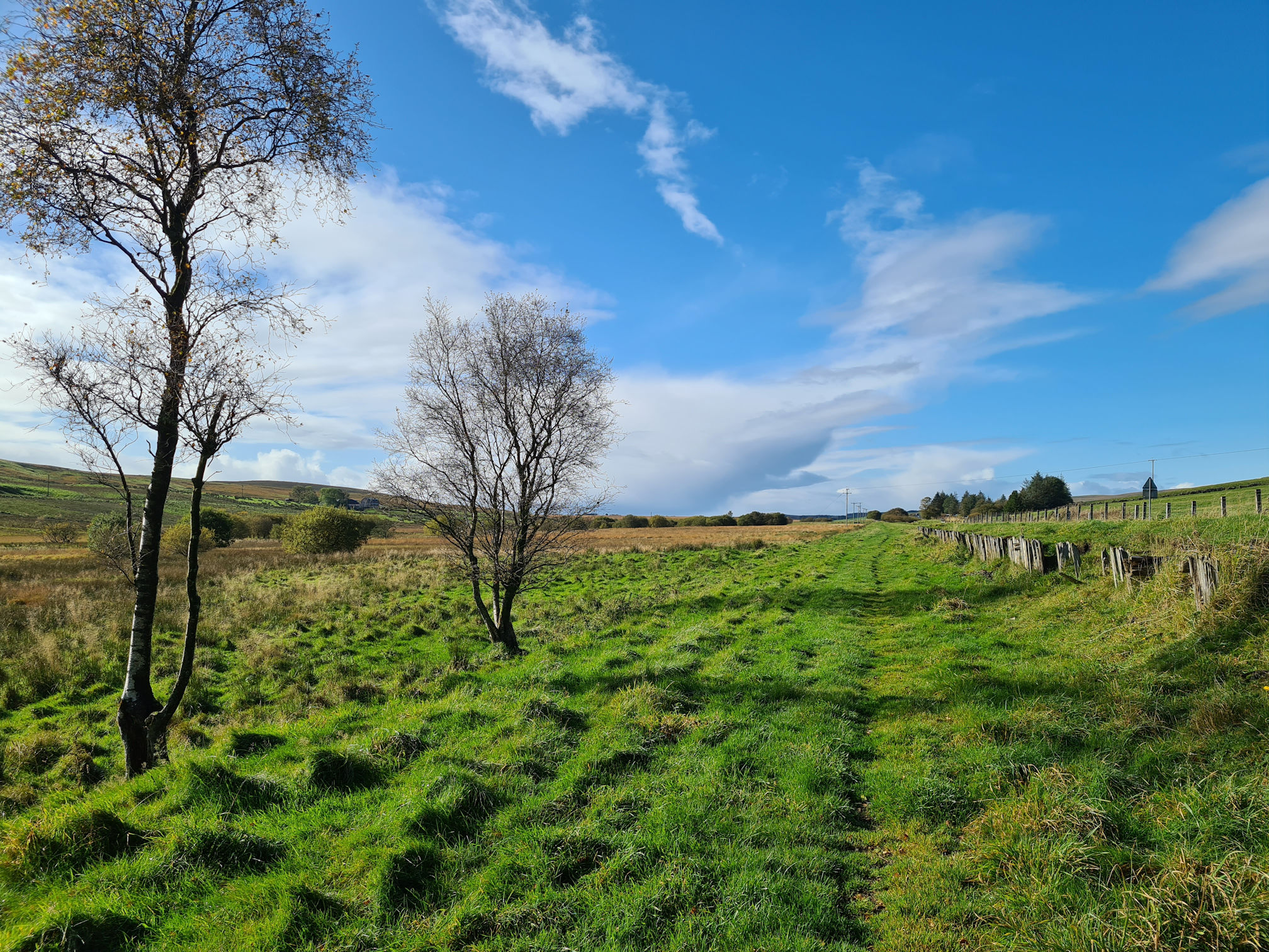
Back to the River Ayr Way, I followed the road and said a fond cheerio to the lovely Glenbuck Loch. I was now ready to follow its meandering water flow through the Ayrshire countryside.

Once I crossed the main road (A70), that was me on a mission.

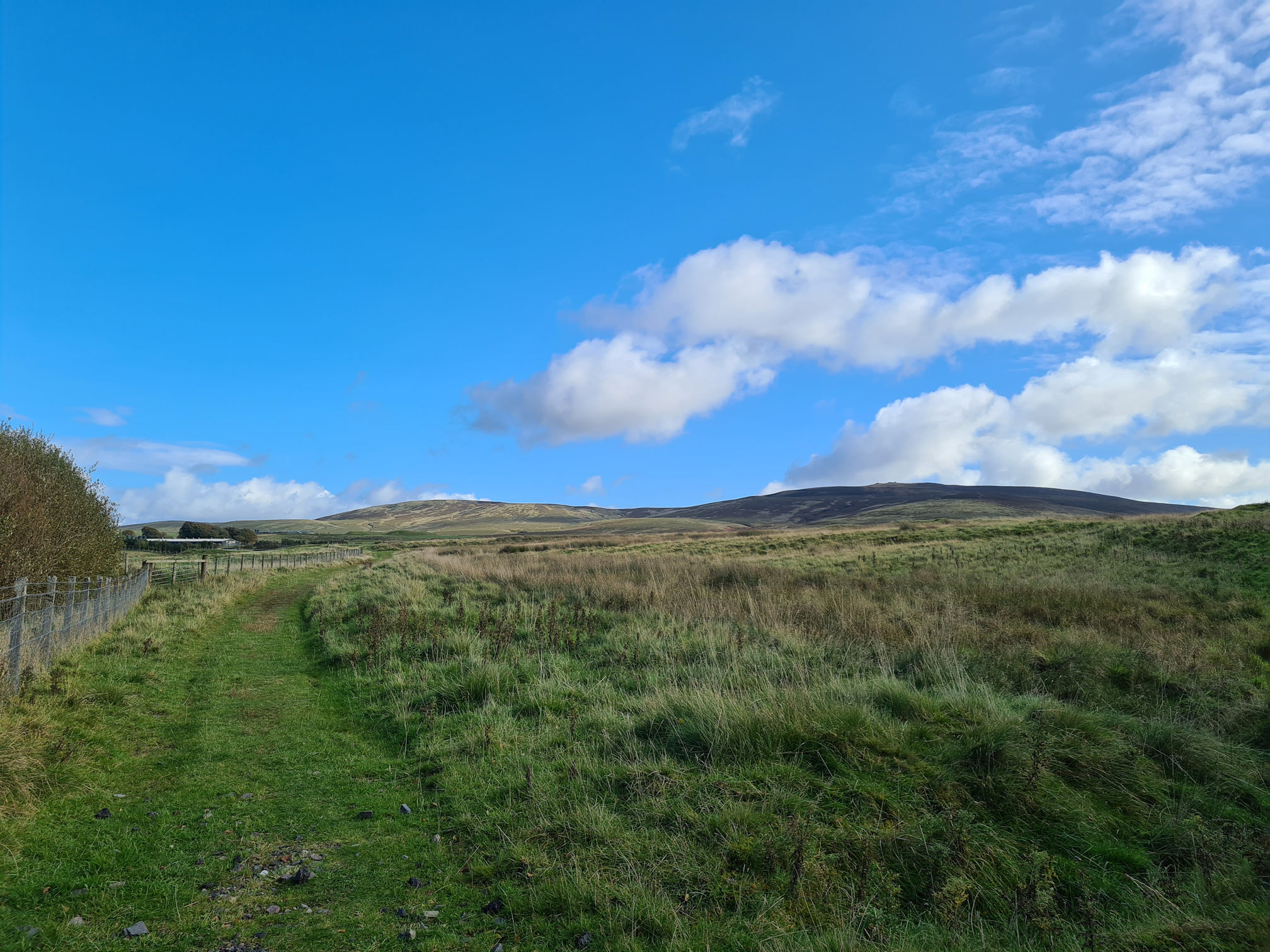
A long, flat grassy path stretched out as far as my eyes could see. I couldn’t see the River Ayr flowing near me though and wondered when I would meet it. I was walking parallel to the A70 road on the right.

I was glad to see the sunshine again after the downpour earlier! For a moorland landscape that is known to be dull and bleak, it was looking rather beautiful for me today.
The beginnings of the River Ayr was to the left of me somewhere, but I wasn’t going to venture off the main walking path in terrain like this. It looked marshy and could be deep in places. I would need a pair of Wellies (Wellington Boots).

I was thinking of a time when I was young, possibly eight or nine, begging my older brothers to take me on their walk in the countryside near where we lived. They were always going on outdoor adventures.
I wore my wee black Wellies that day and I ended up being stuck in a boggy field. As I lifted my leg to try and walk out of it, my foot slipped out of my Welly, lost my balance and I fell into the mud 😂. One of my brother’s came into the bog and lifted me out. He tried washing me down in a nearby burn as we knew our mum would not be happy that I was covered in mud. I don’t even know if she knew I was so far away from home!
We had to turn back, and I don’t remember ever being allowed to go with them again. There’s four and a half years between us so I can imagine I must have slowed them down and it was too much responsibility looking after me. Flashbacks like this are visually stored in my brain like a dream, the memory camera of my youth.
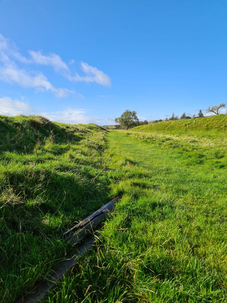
The path ahead was once home to a single track railway line that supported mining in the area and connected to the Caledonian Railway. The timber remains on the right of the photo below are what’s left of a passenger platform that was Glenbuck Station, open from 1876 to 1952. The railway line closed in 1964.
This National Library of Scotland: Ordnance Survey Map 1892 to 1914 shows the Glenbuck Station, and if you choose the ‘side-by-side’ option you can compare it to an up-to-date map. It’s so interesting to see how the landscape has changed over time, including a lower reservoir that now no longer exists.
To make a plain landscape more interesting I was also thinking about the train track that once lay under my feet and the people it carried. Maybe even my ancestors were here as some of my dad’s side of the family lived in this area. All I could hear now and then was noise from the traffic on the adjacent road, but it still felt remote, and I never met another soul.
I thought about boggy bits too soon as the path was beginning to become very wet and squishy under my feet. They were already feeling damp as the water soaked through my old walking shoes.
I honestly don’t get stressed with wet feet, as long as at the end of the walk I can take my socks and shoes off to let them dry out. I used to run in the rain and enjoyed it sometimes too.

As I walked further along the trail, I saw old railway sleepers and concrete bricks of the past.
All of a sudden, my mind started overthinking information past and present that I didn’t want to think about. Before I knew it, tears began to run down my rosy cheeks and not stopping anytime soon! I felt so silly, but at least no one could see me.
I pulled a long golden grassy stem that lined the path and waved it about like a sword. I then slid my fore finger and thumb along the stem from bottom to top and felt the small seeds fall off, reminding me that I loved doing this when I was a child. Strangely, I felt happier after this, like a type of stress relief as I tried to empty my overactive thought process.
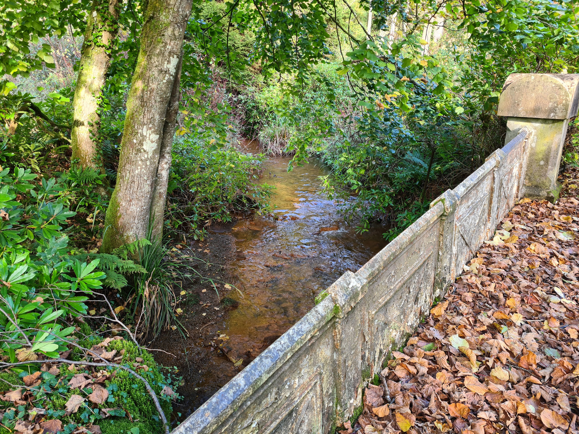
At last, I saw a water way! A baby River Ayr was on my left and flowed under the wooden bridge I was about to cross over. Both photos are looking back the way I walked.


underneath a wooden footbridge
Then another squidgy boggy bit appeared, and I was wishing I had Wellies, or was I? 😂

The Welly Boot Song now came to mind. The lyrics were written by George McEwan from Ayr and sang by Billy Connolly (The Big Yin).
Extract from the lyrics:
If it wisnae fur yer wellies where would you be?
You’d be in the hospital or infirmaryCause you would have a dose of the flu, or even pleurisy
If you didnae have your feet in your wellies!
I don’t even own a pair of Wellies now and they didn’t save me the last time. I think I need to change the second line to “You’d be in the hospital or stuck with Dawn-Marie!” 😂
As I walked further along the trail, the narrow river would now occasionally appear on my right, glistening in the sunshine. I was feeling happy again.

I loved this little bridge and peeked over the left wall to see the meandering water (The West Burn) flowing under the bridge to join the River Ayr.

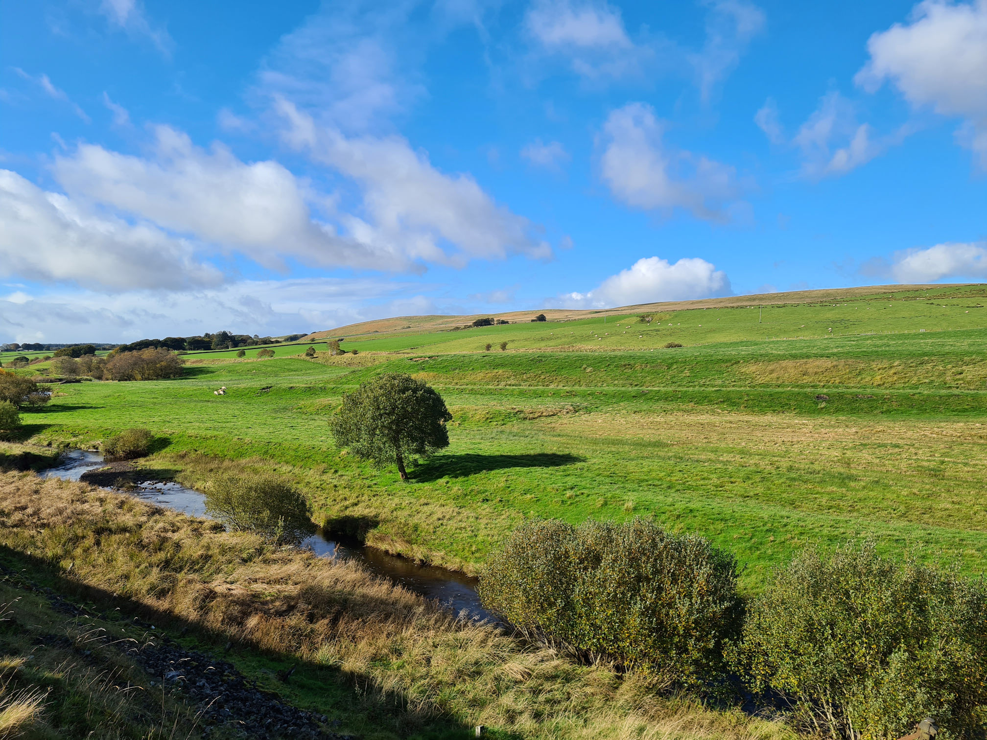
Many tributaries, small and large, merge into the River Ayr.

The river was beginning to look wider here.
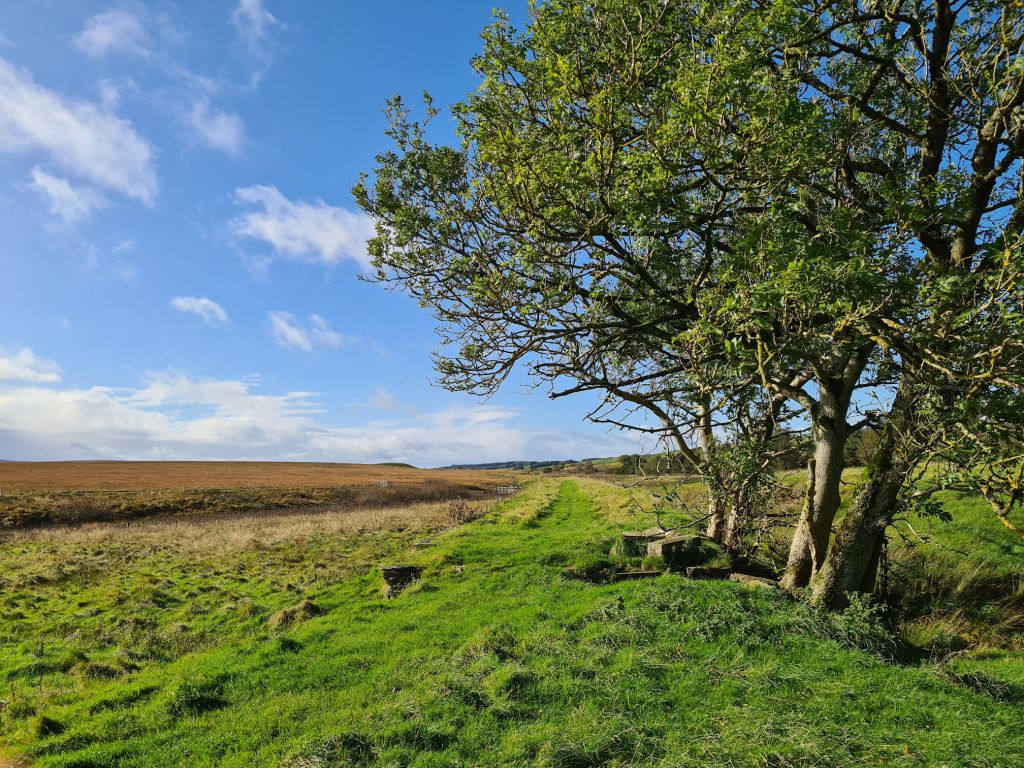
I must admit, I was loving the open countryside and finding the odd tree here and there that stood out on the landscape.

I stopped and looked back to see where I’d walked from and saw a wind farm up on the hills at Glenbuck. I think it’s Hareshaw Hill and I plan to go there this year and look down on the River Ayr Way. I think I might even be able to see the Isle of Arran from the top on a clear day.

I mentioned looking out for trees that stand out … this must be the dead zone with two small trees not thriving. It still creates a beautiful picture though!

My eye sight, even with contact lenses, is not the best at the moment. I spotted what looked like scattered ruins and piles of stone in the distance. At first I thought some of the stones were a small standing stone circle as they looked strategically placed. Then thinking about this location, I thought they might be from old mine works. There was no access to walk closer though.
Further along the trail I managed to get a little closer to a fence line and zoomed in for a photo.
When I researched this later, I found out they are the remains of the Auldhouseburn Railway Viaduct, previously a branch line of the Caledonian Railway from Muirkirk to Spyreslack. Gosh, I’ve never really been interested in railway lines before, but I loved this walk and imagining trains running along railway lines and viaducts.
And … it looks like the strategically placed stones are a modern day standing stone circle! I don’t know why they are placed like this though, but obviously the stones are from the old railway viaduct. When you look on Google Maps: Muirkirk they are placed in the shape of a cross.
I can’t remember exactly where, but the closer I got to the village of Muirkirk I could hear shouting echoes of people. I’m sure I heard the occasional swear word and laughed out loud at the contrast between the silence earlier and now. It wasn’t what I expected 😂.
I worked out it was a football match nearby. I couldn’t see it, but the sound carried into the air from somewhere to the right of me. I was back to civilisation.
With it being a flat easy walk, I was surprisingly happy to see a set of wooden steps! Usually they tire me out, but today I had a skip in my soggy wet step.

After walking a little further I recognised the hill Cairn Table in the distance to the right, and knew I was close to the car park at Kames where Alan would be waiting. I was now feeling hungry, but I didn’t bring much with me or eat anything on the way.
I arrived at the Kames Walkers’ Car Park and quickly looked at the other walking trails in this area. I’ve already walked the Twa Brigs Walk and also Cairn Table when I was a child. I plan to hike Cairn Table once I improve my fitness again. I’ve been hibernating for too long the past few months.

My recorded distance and times:
Distance: 6 miles (9.92 kilometres) – includes the extra walking at the start
Moving time: 2 hours 30 minutes
Elapsed time: 3 hours 45 minutes
I had energy to go further, but the next part of the walk was a long way before I reached a point where Alan could pick me up. The nights were getting dark earlier, and I didn’t want to be rushing the walk and end up stuck in a remote area in the dark of night.
I sensibly stopped here, and I’d come back for the longer section making sure I had an early start. My feet were soaked to the skin and ready to be dried out. I was happy with what I achieved today, an easy walk in my own thoughts that made me laugh and cry.
I was intending writing about the next part of the River Ayr Way from Muirkirk to Sorn in this post too, but it would be too long as I have hundreds of photos and interesting areas to talk about along the way. Look out for the next part soon which was another beautiful day, and I didn’t cry this time!
Thanks for reading, I hope you enjoyed my story and photos. My video from Glenbuck to Sorn is below.
Love, Dawn-Marie x
More information about this walk
- East Ayrshire Leisure: River Ayr Way
- Scotland’s Great Trails: River Ayr Way
- Walkhighlands: River Ayr Way
- Scottish Outdoor Access Code
- Ayrshire History
- The Lost Villages: Glenbuck
- RailScot: Glenbuck

Such a lovely walk, beautiful countryside. Your video brought back fab memories of my solo walk here, going in the opposite direction! You’ll need to come on one if my digital navigation courses so that you’ve got more confidence being out on your own than you won’t get lost. Enjoyed reading your post, thank you. Gillian (Gillian’s Walks)
LikeLiked by 1 person
Hi Gillian 🙂
Thanks so much for reading and commenting!
I did think about your digital navigation course as I always get lost. Sometimes it’s exciting but it can be worrying too.
Glenbuck to Sorn was the last section I walked this year and it honestly surprised me how beautiful the Ayrshire countryside is, more so in the sunshine of course. The whole walk was pretty amazing as you’ll know.
I’ve three more blogs to write. I’m a bit slow at the writing and took thousands of phone photos to choose from lol. I’m not sure if you saw my other videos of the rest of the walk. They took a while but worth it as I have another treasured memory to keep 🙂
I’ll definitely walk some of it again this year and hoping to get up Cairn Table as well!
Thanks again
Dawn-Marie x
LikeLike